Hangerberry Hill

Hill, Mountain in Gloucestershire Forest of Dean

England

Hangerberry Hill

Mirystock Bridge
Mirystock Bridge Credit: don cload

Hangerberry Hill is a prominent geographical feature located in the county of Gloucestershire, England. It is classified as a hill and is situated within the picturesque Forest of Dean district. The hill is part of the wider Cotswolds Area of Outstanding Natural Beauty, renowned for its stunning landscapes and rich biodiversity.

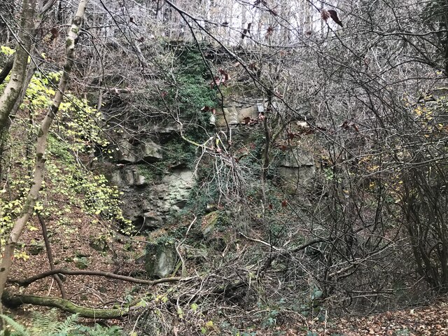
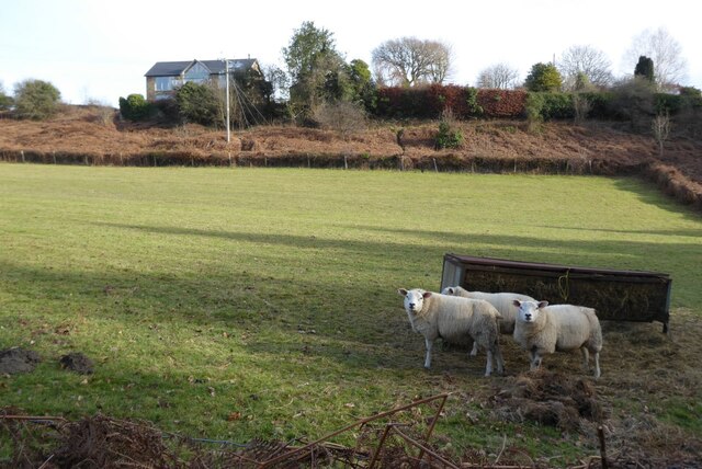
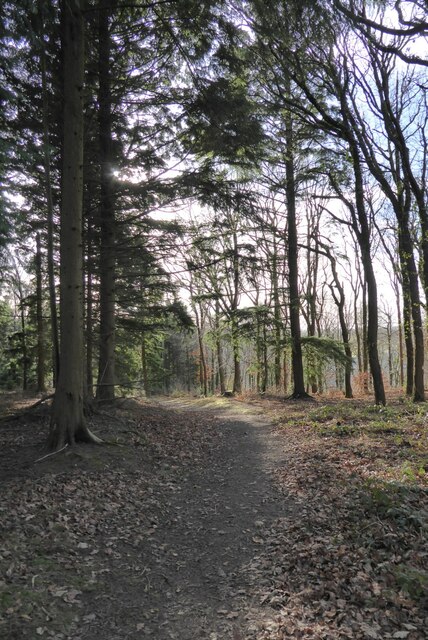
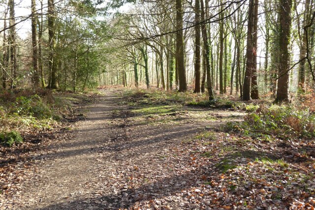
Rising to an elevation of approximately 180 meters (590 feet), Hangerberry Hill offers breathtaking panoramic views of the surrounding countryside. Its location within the Forest of Dean ensures a diverse range of flora and fauna, with ancient woodland covering its slopes. The hill is characterized by its gentle incline, making it a popular destination for hikers, nature enthusiasts, and photographers.

Hangerberry Hill also holds historical significance, with evidence of Iron Age settlements found in its vicinity. The hill's strategic position overlooking the River Wye and the Severn Estuary may have contributed to its importance in ancient times.

Access to Hangerberry Hill is facilitated by a network of footpaths and trails, allowing visitors to explore its natural beauty and appreciate its scenic vistas. The hill is also a designated Site of Special Scientific Interest due to its ecological importance, particularly for the presence of rare plant species and diverse wildlife.

Overall, Hangerberry Hill in Gloucestershire offers a captivating blend of natural beauty, historical heritage, and recreational opportunities, attracting both locals and tourists alike.

If you have any feedback on the listing, please let us know in the comments section below.

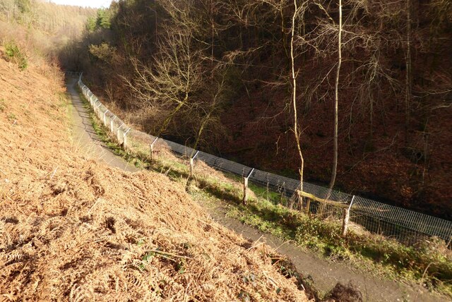
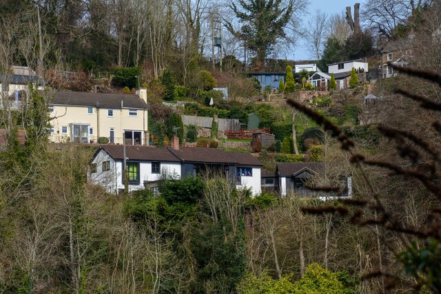
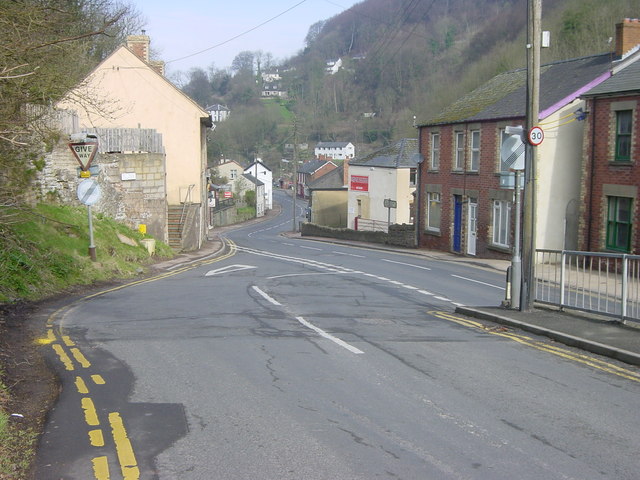
Hangerberry Hill Images

Images are sourced within 2km of 51.834745/-2.5868644 or Grid Reference SO5915. Thanks to Geograph Open Source API. All images are credited.

Mirystock Bridge
Mirystock Bridge
Old chapel and recreation ground
Old railway
Old railway
Old quarry
Old quarry
Sharp turn in the forest track
Old Boundary Marker Estate Boundary Marker east of a forest track and just north of the A4136 near Mirystock House. Lydbrook parish. inscribed Bourts Inclosure and 1842 this perhaps records the enclosure of part of the Forest of Dean.

Milestone Society National ID: GL_LYDBR01em
Old Boundary Marker
Estate Boundary Marker east of a forest track and just north of the A4136 near Mirystock House. Lydbrook parish. inscribed Bourts Inclosure and 1842 this perhaps records the enclosure of part of the Forest of Dean. Milestone Society National ID: GL_LYDBR01em
Modern Boundary Stone, The Pludds On the North verge of Highbeech Road. One of the many replacement boundary stone delineating the periphery of the "Forest of Dean". The "Forest" is very specific because resident have "rights in common" like grazing sheep and coal mining, though you may have to be born there to classify as a "free miner".

Inscription: D. F. / 20005 / Nᴼ. 118

Milestone Society National ID: GL_DFRUAR118em
Modern Boundary Stone, The Pludds
On the North verge of Highbeech Road. One of the many replacement boundary stone delineating the periphery of the "Forest of Dean". The "Forest" is very specific because resident have "rights in common" like grazing sheep and coal mining, though you may have to be born there to classify as a "free miner". Inscription: D. F. / 20005 / Nᴼ. 118 Milestone Society National ID: GL_DFRUAR118em
Sign of beaver activity Sign of beaver activity by Greathough Brook in the Forest of Dean.
Sign of beaver activity
Sign of beaver activity by Greathough Brook in the Forest of Dean.
Footbridge and stream Footbridge and stream on a former railway trackbed.
Footbridge and stream
Footbridge and stream on a former railway trackbed.
View to the Brecon Beacons View to the Brecon Beacons from Readings on the northern edge of the Forest of Dean.  There is a nice alignment here of Ysgyryd Fawr (Skirrid), Sugar Loaf and Corn Du and Pen y Fan in the Brecon Beacons.
View to the Brecon Beacons
View to the Brecon Beacons from Readings on the northern edge of the Forest of Dean. There is a nice alignment here of Ysgyryd Fawr (Skirrid), Sugar Loaf and Corn Du and Pen y Fan in the Brecon Beacons.
Sheep at Joy's Green Three Texel ewes in a field at Joy's Green near Upper Lydbrook.
Sheep at Joy's Green
Three Texel ewes in a field at Joy's Green near Upper Lydbrook.
Forest path Forest path near Joy's Green in Upper Lydbrook.
Forest path
Forest path near Joy's Green in Upper Lydbrook.
Forest path Forest path near Upper Lydbrook.
Forest path
Forest path near Upper Lydbrook.
Forest Path Forest Path in Astonbridge Hill Inclosure.
Forest Path
Forest Path in Astonbridge Hill Inclosure.
Fence enclosing beaver enclosure Fence enclosing a beaver enclosure near Brierley in the Forest of Dean.
Fence enclosing beaver enclosure
Fence enclosing a beaver enclosure near Brierley in the Forest of Dean.
Footbridge and stream Footbridge and stream on a former railway trackbed in the Forest of Dean, I was previously here and in February it looks very bare in comparison <a href="https://www.geograph.org.uk/photo/7339374">SO6115 : Footbridge and stream</a>.
Footbridge and stream
Footbridge and stream on a former railway trackbed in the Forest of Dean, I was previously here and in February it looks very bare in comparison SO6115 : Footbridge and stream.
Tree felled by beavers A fallen tree next to Greathough Brook with signs of beaver activity at the base of the trunk.
Tree felled by beavers
A fallen tree next to Greathough Brook with signs of beaver activity at the base of the trunk.
Lydbrook : Village Scenery Looking across to houses on the hillside.
Lydbrook : Village Scenery
Looking across to houses on the hillside.
Show me another place!

Hangerberry Hill is located at Grid Ref: SO5915 (Lat: 51.834745, Lng: -2.5868644)

Administrative County: Gloucestershire

District: Forest of Dean

Police Authority: Gloucestershire

What 3 Words

///cheat.curiosity.furniture. Near Lydbrook, Gloucestershire

Related Wikis

Lydbrook

Lydbrook is a civil parish in the Forest of Dean, a local government district in the English county of Gloucestershire and is located in the Wye Valley...

Eastbach Court

Eastbach Court is a historic Grade II listed mansion in English Bicknor, Gloucestershire, England. == History == The house was built on a former messuage...

Sarah Siddons' House

Sarah Siddons' House, also called the Old House, is a cottage in the village of Lydbrook, Gloucestershire, England. A Grade II* listed building, the cottage...

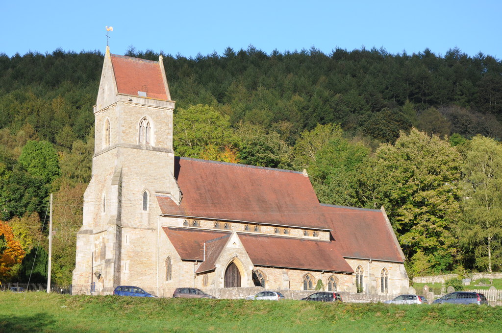
Holy Jesus Church, Lydbrook

Holy Jesus Church at Lydbrook is a Church of England parish church in the English county of Gloucestershire. == Structure == The greater part of the church...

Nearby Amenities

Located within 500m of 51.834745,-2.5868644
Ele: 225
Natural: peak
Source: NPE
Lat/Long: 51.83594/-2.5868074
Power: pole
Lat/Long: 51.8329801/-2.5802391
Power: pole
Lat/Long: 51.8387047/-2.5856383
Power: pole
Lat/Long: 51.8328259/-2.5821703
Power: pole
Lat/Long: 51.8332682/-2.5853198
Power: pole
Lat/Long: 51.8333249/-2.5825163
Power: pole
Lat/Long: 51.8390908/-2.5858099
Power: pole
Lat/Long: 51.8363397/-2.5845842
Power: pole
Lat/Long: 51.8344237/-2.5837713
Power: pole
Lat/Long: 51.8343292/-2.5839995
Power: pole
Lat/Long: 51.8357279/-2.5843138
Power: pole
Lat/Long: 51.8350798/-2.5840483
Power: pole
Lat/Long: 51.8375708/-2.5851238
Power: pole
Lat/Long: 51.8324016/-2.5860969
Power: pole
Lat/Long: 51.8355174/-2.5841368
Power: pole
Lat/Long: 51.8363825/-2.5844908
Power: pole
Lat/Long: 51.8377647/-2.5850943
Power: pole
Lat/Long: 51.8370954/-2.5849114
Power: pole
Lat/Long: 51.8315792/-2.5868351
Power: pole
Lat/Long: 51.8338037/-2.5846465
Power: pole
Lat/Long: 51.8344602/-2.5836911
Power: pole
Lat/Long: 51.8380862/-2.5853599
Power: pole
Lat/Long: 51.8385304/-2.5854484
Power: pole
Lat/Long: 51.833172/-2.5805835
Crossing
Lat/Long: 51.8349319/-2.5798417
Public Bookcase
Booth: K6
Disused Amenity: telephone
Man Made: telephone_box
Public Bookcase Type: phone_box
Lat/Long: 51.8334723/-2.580472
The data included in this document is from www.openstreetmap.org. The data is made available under ODbL.

Have you been to Hangerberry Hill?

Leave your review of Hangerberry Hill below (or comments, questions and feedback).