Howlers Slade

Wood, Forest in Gloucestershire Forest of Dean

England

Howlers Slade

A New Sculpture I'm guessing that this is part of the new Sculpture Trail opening in July 2021 to celebrate 35 years since the original trail opened.. This one is still in the process of being installed. No more information at the moment.
A New Sculpture Credit: Des Blenkinsopp

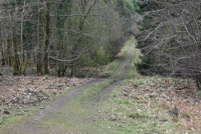
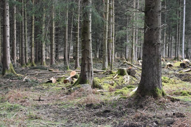
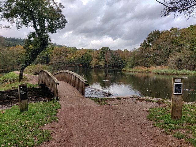
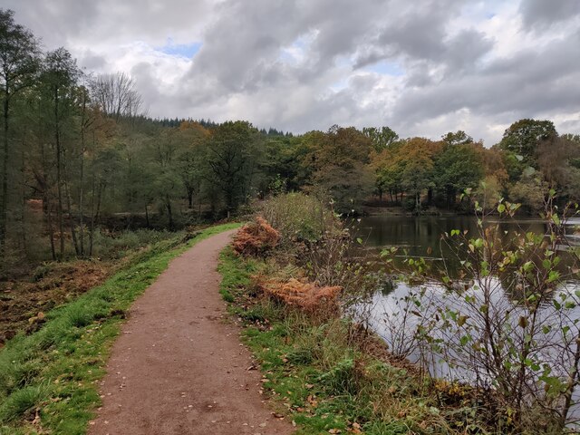
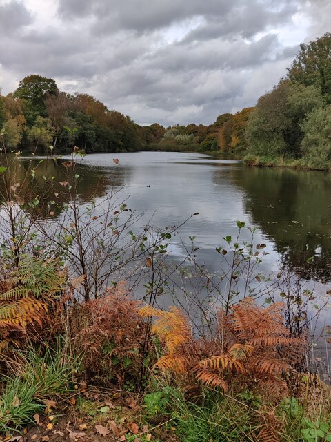
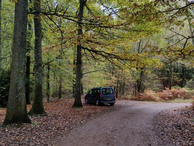
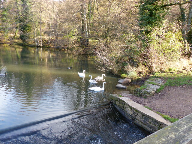
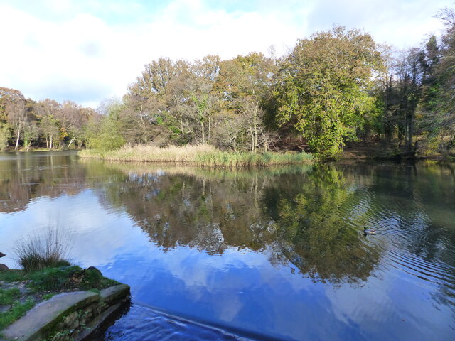
Howlers Slade, located in Gloucestershire, is a picturesque wooded area renowned for its natural beauty and serene atmosphere. Nestled within the heart of the Forest of Dean, this enchanting woodland encompasses an area of approximately 200 acres.

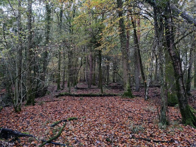
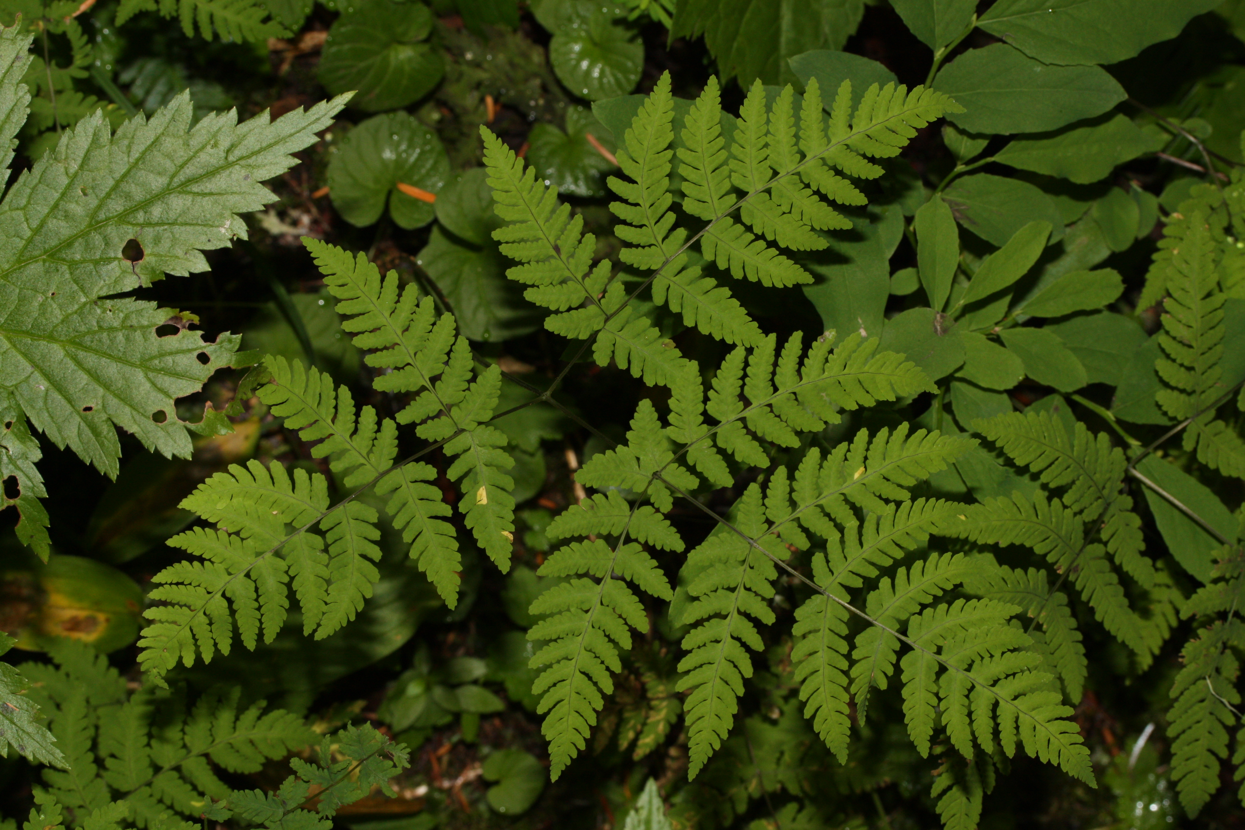
The forest is characterized by its dense canopy of towering trees, primarily consisting of oak, beech, and ash. The foliage creates a stunning display of vibrant colors during the autumn months when the leaves turn shades of red, orange, and gold.

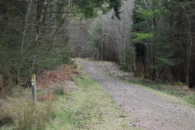
Visitors to Howlers Slade can embark on a variety of outdoor activities, including hiking, nature walks, and birdwatching. Several well-maintained trails wind their way through the forest, providing opportunities to explore the diverse ecosystem and spot various wildlife species. Bird enthusiasts can catch glimpses of woodpeckers, owls, and other woodland birds.

The tranquil atmosphere of Howlers Slade makes it an ideal destination for those seeking respite from the hustle and bustle of everyday life. The sounds of rustling leaves and chirping birds create a soothing ambiance, inviting visitors to unwind and connect with nature.

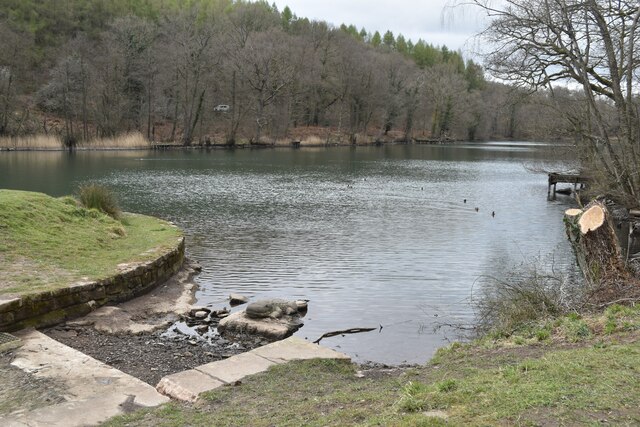
Additionally, the forest offers a range of amenities to enhance visitors' experiences. These include picnic areas, where families and friends can enjoy a leisurely meal surrounded by the beauty of their surroundings.

Overall, Howlers Slade in Gloucestershire is a captivating woodland retreat that provides an escape to nature's tranquility, offering a wealth of opportunities for outdoor exploration and relaxation.

If you have any feedback on the listing, please let us know in the comments section below.

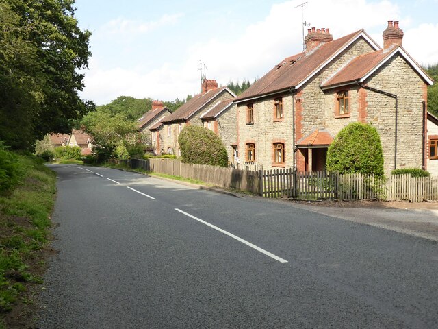
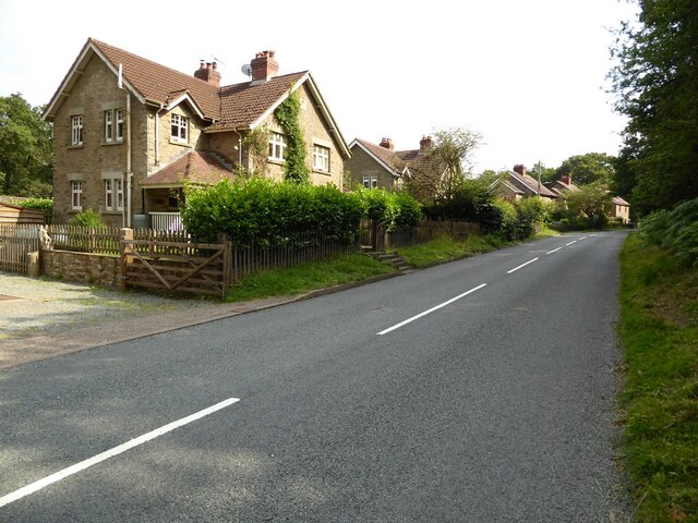
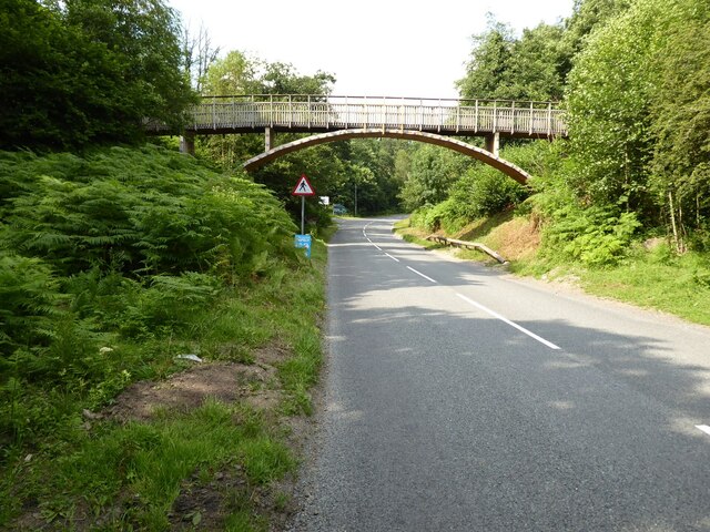
Howlers Slade Images

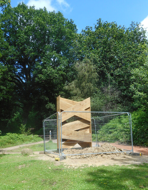
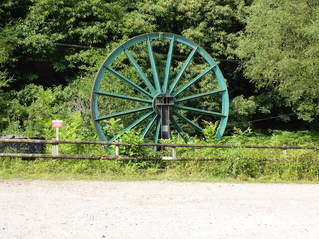
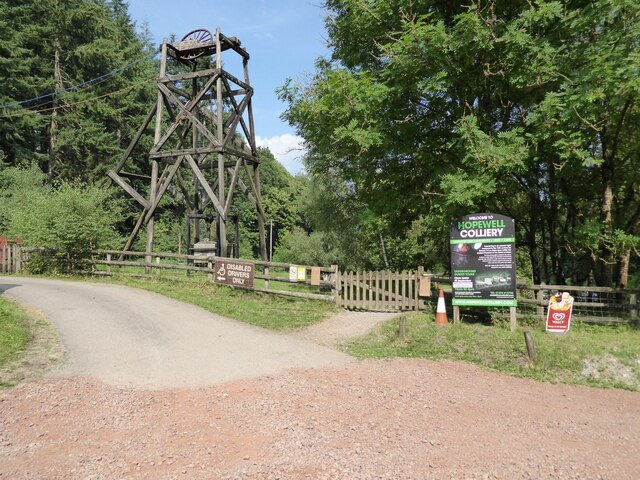
Images are sourced within 2km of 51.79923/-2.5831981 or Grid Reference SO5911. Thanks to Geograph Open Source API. All images are credited.

A New Sculpture I'm guessing that this is part of the new Sculpture Trail opening in July 2021 to celebrate 35 years since the original trail opened.. This one is still in the process of being installed. No more information at the moment.
A New Sculpture
I'm guessing that this is part of the new Sculpture Trail opening in July 2021 to celebrate 35 years since the original trail opened.. This one is still in the process of being installed. No more information at the moment.
A pithead mine wheel A pithead mine wheel at Hopewell Colliery Museum.
A pithead mine wheel
A pithead mine wheel at Hopewell Colliery Museum.
Hopewell Colliery Museum In the winter Hopewell Colliery is a working mine, in the summer it is a tourist attraction offering underground tours of the mine.
Hopewell Colliery Museum
In the winter Hopewell Colliery is a working mine, in the summer it is a tourist attraction offering underground tours of the mine.
Speech House Road The A4136, Speech House Road approaching the staggered crossroad at its junction with the B4234.
Speech House Road
The A4136, Speech House Road approaching the staggered crossroad at its junction with the B4234.
Cannop Villas Cannop Villas were built in the years just before the outbreak of World War I.
Cannop Villas
Cannop Villas were built in the years just before the outbreak of World War I.
Cannop Villas Cannop Villas were built in the years just before the outbreak of World War I.
Cannop Villas
Cannop Villas were built in the years just before the outbreak of World War I.
Cycle bridge Cycle bridge crossing New Road, the B4234.
Cycle bridge
Cycle bridge crossing New Road, the B4234.
Forest track near Blackpennywall Well
View into woodland at Upper Whitelea Green
Forest track above Folder’s Green
Southern end of Cannop Ponds
Woodland at Cannop Ponds
Cannop Ponds in the Forest of Dean
Path at Cannop Ponds
Cannop Ponds in the Forest of Dean
Car park at Cannop Ponds
Swan family in the upper pond, Cannop Ponds, Forest of Dean
The upper pond, Cannop Ponds, Forest of Dean At time of posting, Forestry England proposes to drain these ponds, owing to the expense of maintaining the dams to be fit for purpose. 
<span class="nowrap"><a title="https://www.forestryengland.uk/article/the-future-cannop-ponds" rel="nofollow ugc noopener" href="https://www.forestryengland.uk/article/the-future-cannop-ponds">Link</a><img style="margin-left:2px;" alt="External link" title="External link - shift click to open in new window" src="https://s1.geograph.org.uk/img/external.png" width="10" height="10"/></span> 
Thousands of people have signed a petition against the plans.
The upper pond, Cannop Ponds, Forest of Dean
At time of posting, Forestry England proposes to drain these ponds, owing to the expense of maintaining the dams to be fit for purpose. LinkExternal link Thousands of people have signed a petition against the plans.
Show me another place!

Howlers Slade is located at Grid Ref: SO5911 (Lat: 51.79923, Lng: -2.5831981)

Administrative County: Gloucestershire

District: Forest of Dean

Police Authority: Gloucestershire

What 3 Words

///scanner.assembles.wobbling. Near Coleford, Gloucestershire

Related Wikis

Wimberry Quarries

Wimberry Quarries (grid reference SO594121) is a 2-hectare (4.9-acre) nature reserve in Gloucestershire in the Forest of Dean.The site is held under agreement...

Spion Kop Quarry

Spion Kop Quarry (grid reference SO598103) is a 0.7-hectare (1.7-acre) nature reserve in Gloucestershire in the Forest of Dean.The site is managed by the...

Broadwell, Forest of Dean

Broadwell is a village about 1 mile (1.6 km) east of Coleford, Gloucestershire, England. It is at the western edge of the Forest of Dean, in the civil...

Speech House Road railway station

Speech House Road railway station is a disused railway station opened by the former Severn and Wye Railway in 1875, it remained open for 88 years until...
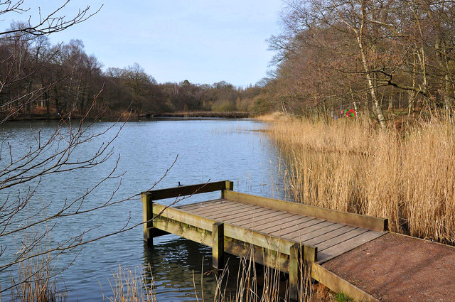
Cannop Ponds

Cannop Ponds (grid reference SO608106) are two large ponds, just north of Parkend in the Forest of Dean, Gloucestershire, England. The ponds, and surrounding...

Mile End, Gloucestershire

Mile End is a small village in the English county of Gloucestershire. It belongs to the civil parish of Coleford, which is also its post town. Mile End...

Coalway

Coalway is a village in the West Forest of Dean region of Gloucestershire, England, approximately one mile south-east of the town of Coleford. Within the...

Edge End, Gloucestershire

Edge End is a small hamlet in west Gloucestershire, England. == Location and amenities == Edge End is about 1.5 miles NW of Coleford and about 1 mile north...

Nearby Amenities

Located within 500m of 51.79923,-2.5831981
Bus Stop
Hopewell Colliery Grounds
Naptan AtcoCode: 1600GLA36766
Naptan Bearing: E
Naptan CommonName: Hopewell Colliery Grounds
Naptan NaptanCode: glogmpdp
Naptan ShortCommonName: 791 Only
Naptan Street: Off B4226
Naptan Verified: no
Source: naptan_import
Lat/Long: 51.7998885/-2.5776869
Bus Stop
Hopewell Colliery
Naptan AtcoCode: 1600GLF829
Naptan Bearing: E
Naptan CommonName: Hopewell Colliery
Naptan NaptanCode: gloagjgm
Naptan Street: B4226
Naptan Verified: no
Source: naptan_import
Lat/Long: 51.7997451/-2.5775835
Bus Stop
Hopewell Colliery
Naptan AtcoCode: 1600GLF830
Naptan Bearing: W
Naptan CommonName: Hopewell Colliery
Naptan Indicator: Opp
Naptan NaptanCode: gloagjgd
Naptan Street: B4226
Naptan Verified: no
Source: naptan_import
Lat/Long: 51.7996818/-2.5776552
Hopewell Colliery
Source: OS OpenData StreetView
Tourism: attraction
Lat/Long: 51.7999902/-2.5780317
Bixhead Stone Mine
Access: yes
Natural: cave_entrance
Lat/Long: 51.7961488/-2.5876556
Howlers Slade
Place: locality
Lat/Long: 51.7997636/-2.5802862
The data included in this document is from www.openstreetmap.org. The data is made available under ODbL.

Have you been to Howlers Slade?

Leave your review of Howlers Slade below (or comments, questions and feedback).