Lodge Inclosure

Downs, Moorland in Gloucestershire Forest of Dean

England

Lodge Inclosure

A New Sculpture I'm guessing that this is part of the new Sculpture Trail opening in July 2021 to celebrate 35 years since the original trail opened.. This one is still in the process of being installed. No more information at the moment.
A New Sculpture Credit: Des Blenkinsopp

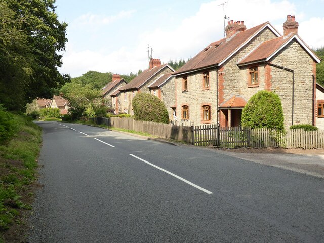
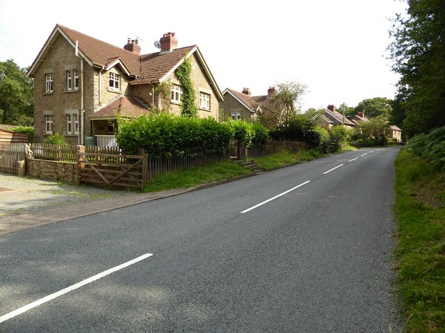
Lodge Inclosure, located in Gloucestershire, England, is a picturesque area characterized by its diverse landscape of downs and moorland. Covering an extensive area, it is a popular destination for nature enthusiasts and outdoor enthusiasts alike.

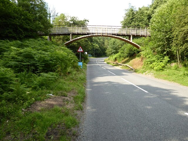
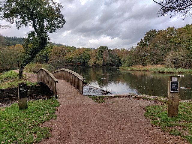
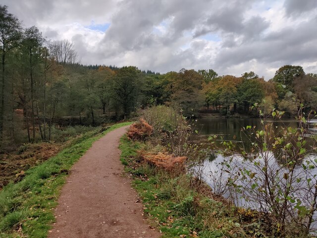
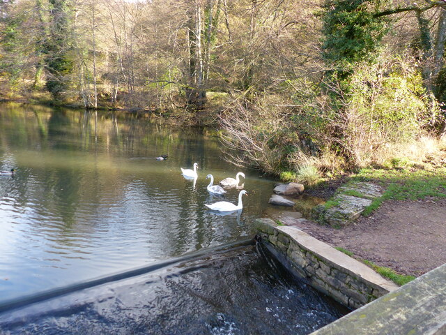
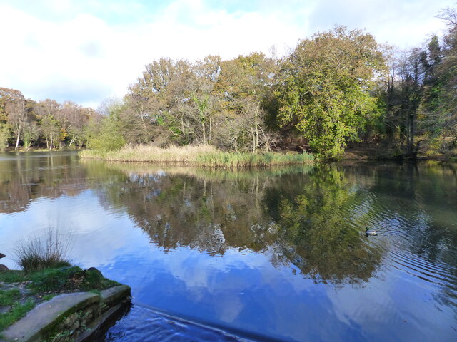
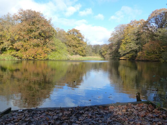
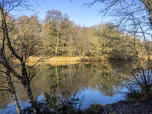
The downs of Lodge Inclosure are marked by their rolling hills and expansive open spaces. These grassy slopes provide stunning panoramic views of the surrounding countryside, making it a favored location for hikers and walkers. The downs are also home to a variety of wildlife, including rabbits, foxes, and various bird species, making it an ideal spot for birdwatching and nature photography.

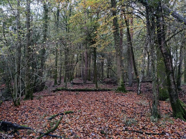
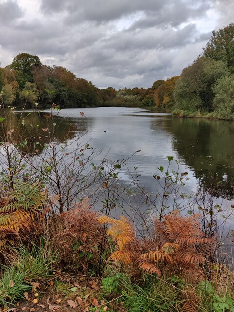
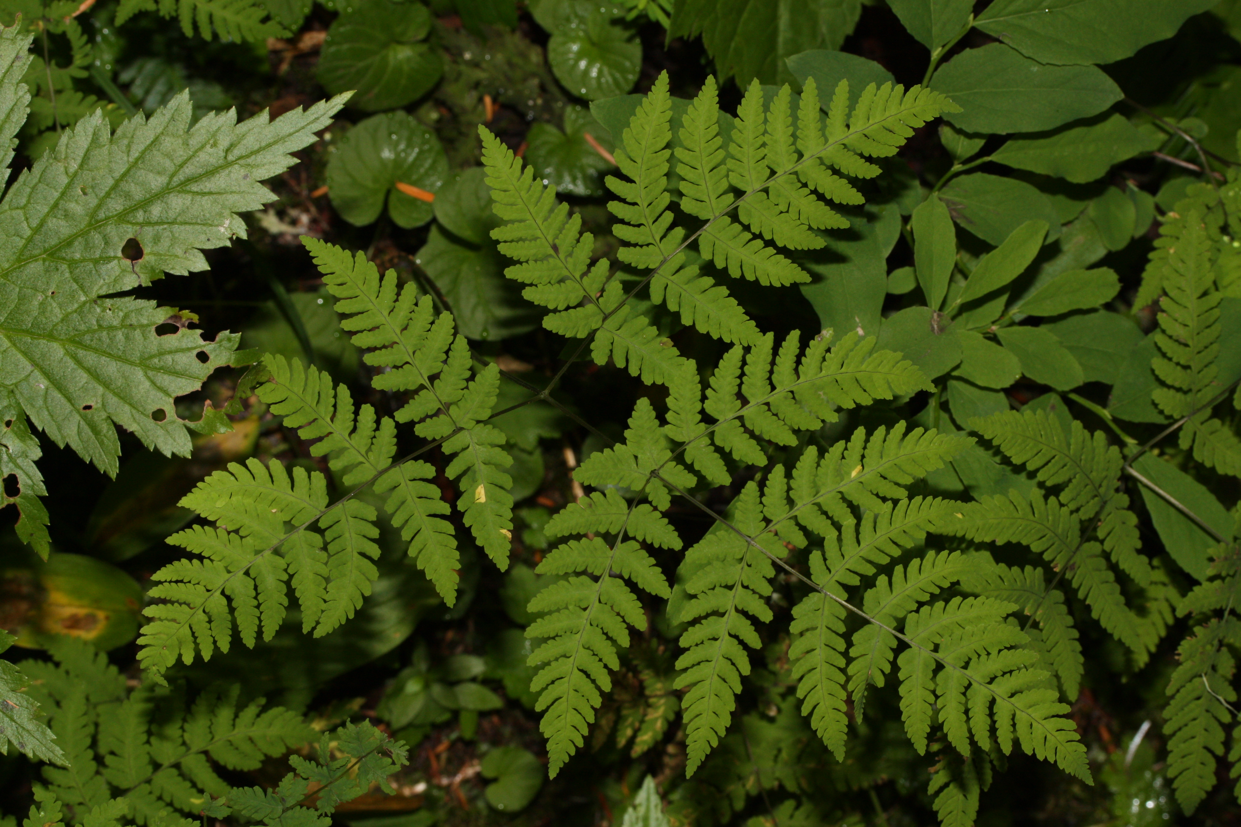
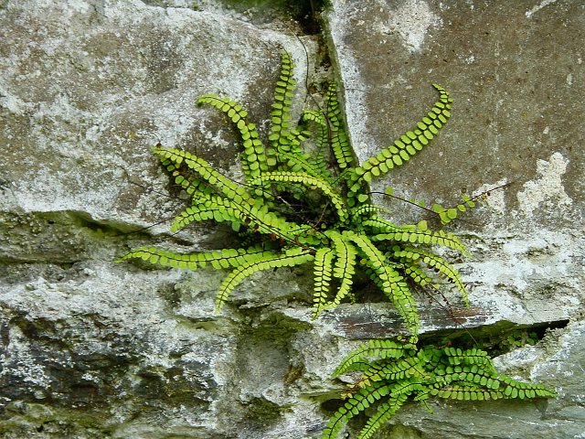
In contrast, the moorland of Lodge Inclosure offers a unique and distinct ecosystem. With its heather-covered hills and marshy areas, this part of the enclosure provides habitat for a range of plant and animal species. Visitors can often spot rare and protected species, such as adders and lizards, amidst the vibrant purple and pink heather.

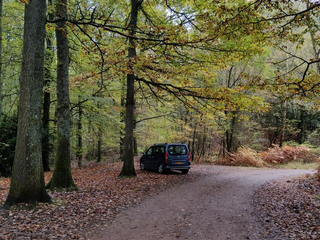
Lodge Inclosure is well-equipped to accommodate visitors, with designated paths and trails for walking and cycling. Facilities such as picnic areas and benches can be found throughout the area, allowing visitors to relax and enjoy the scenic surroundings. Additionally, informative signposts provide educational insights about the flora and fauna found within the enclosure.

Overall, Lodge Inclosure, Gloucestershire, offers a remarkable blend of downs and moorland, providing visitors with a diverse and captivating natural experience. Whether it's exploring the rolling hills or immersing oneself in the unique moorland landscape, the enclosure offers a memorable and enriching outdoor adventure.

If you have any feedback on the listing, please let us know in the comments section below.

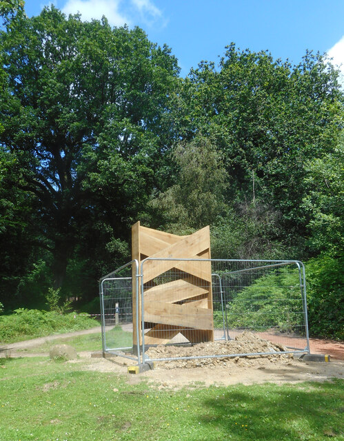
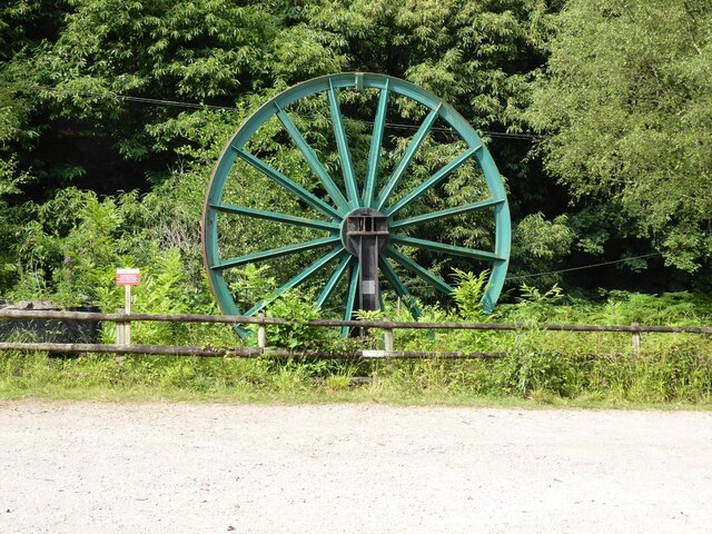
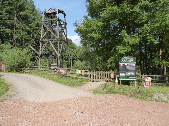
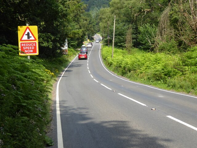
Lodge Inclosure Images

Images are sourced within 2km of 51.802683/-2.5885362 or Grid Reference SO5911. Thanks to Geograph Open Source API. All images are credited.

A New Sculpture I'm guessing that this is part of the new Sculpture Trail opening in July 2021 to celebrate 35 years since the original trail opened.. This one is still in the process of being installed. No more information at the moment.
A New Sculpture
I'm guessing that this is part of the new Sculpture Trail opening in July 2021 to celebrate 35 years since the original trail opened.. This one is still in the process of being installed. No more information at the moment.
A pithead mine wheel A pithead mine wheel at Hopewell Colliery Museum.
A pithead mine wheel
A pithead mine wheel at Hopewell Colliery Museum.
Hopewell Colliery Museum In the winter Hopewell Colliery is a working mine, in the summer it is a tourist attraction offering underground tours of the mine.
Hopewell Colliery Museum
In the winter Hopewell Colliery is a working mine, in the summer it is a tourist attraction offering underground tours of the mine.
Speech House Road The A4136, Speech House Road approaching the staggered crossroad at its junction with the B4234.
Speech House Road
The A4136, Speech House Road approaching the staggered crossroad at its junction with the B4234.
Cannop Villas Cannop Villas were built in the years just before the outbreak of World War I.
Cannop Villas
Cannop Villas were built in the years just before the outbreak of World War I.
Cannop Villas Cannop Villas were built in the years just before the outbreak of World War I.
Cannop Villas
Cannop Villas were built in the years just before the outbreak of World War I.
Cycle bridge Cycle bridge crossing New Road, the B4234.
Cycle bridge
Cycle bridge crossing New Road, the B4234.
Woodland at Cannop Ponds
Cannop Ponds in the Forest of Dean
Path at Cannop Ponds
Cannop Ponds in the Forest of Dean
Car park at Cannop Ponds
Swan family in the upper pond, Cannop Ponds, Forest of Dean
The upper pond, Cannop Ponds, Forest of Dean At time of posting, Forestry England proposes to drain these ponds, owing to the expense of maintaining the dams to be fit for purpose. 
<span class="nowrap"><a title="https://www.forestryengland.uk/article/the-future-cannop-ponds" rel="nofollow ugc noopener" href="https://www.forestryengland.uk/article/the-future-cannop-ponds">Link</a><img style="margin-left:2px;" alt="External link" title="External link - shift click to open in new window" src="https://s1.geograph.org.uk/img/external.png" width="10" height="10"/></span> 
Thousands of people have signed a petition against the plans.
The upper pond, Cannop Ponds, Forest of Dean
At time of posting, Forestry England proposes to drain these ponds, owing to the expense of maintaining the dams to be fit for purpose. LinkExternal link Thousands of people have signed a petition against the plans.
The lower and larger pond, Cannop Ponds, Forest of Dean The photo was taken from fishing stage no. 1. 
See also <a href="https://www.geograph.org.uk/photo/7345362">SO6010 : The upper pond, Cannop Ponds, Forest of Dean</a>
The lower and larger pond, Cannop Ponds, Forest of Dean
The photo was taken from fishing stage no. 1. See also SO6010 : The upper pond, Cannop Ponds, Forest of Dean
A "Mandarin Tree" - roosting mandarin ducks, Cannop Ponds, Forest of Dean See also <a href="https://www.geograph.org.uk/photo/7345362">SO6010 : The upper pond, Cannop Ponds, Forest of Dean</a>
A "Mandarin Tree" - roosting mandarin ducks, Cannop Ponds, Forest of Dean
Winter reflections, Cannop Ponds, 1 A bright Boxing Day morning.
Winter reflections, Cannop Ponds, 1
A bright Boxing Day morning.
Show me another place!

Lodge Inclosure is located at Grid Ref: SO5911 (Lat: 51.802683, Lng: -2.5885362)

Administrative County: Gloucestershire

District: Forest of Dean

Police Authority: Gloucestershire

What 3 Words

///treat.visitors.countries. Near Coleford, Gloucestershire

Related Wikis

Wimberry Quarries

Wimberry Quarries (grid reference SO594121) is a 2-hectare (4.9-acre) nature reserve in Gloucestershire in the Forest of Dean.The site is held under agreement...

Mile End, Gloucestershire

Mile End is a small village in the English county of Gloucestershire. It belongs to the civil parish of Coleford, which is also its post town. Mile End...

Broadwell, Forest of Dean

Broadwell is a village about 1 mile (1.6 km) east of Coleford, Gloucestershire, England. It is at the western edge of the Forest of Dean, in the civil...

Spion Kop Quarry

Spion Kop Quarry (grid reference SO598103) is a 0.7-hectare (1.7-acre) nature reserve in Gloucestershire in the Forest of Dean.The site is managed by the...

Edge End, Gloucestershire

Edge End is a small hamlet in west Gloucestershire, England. == Location and amenities == Edge End is about 1.5 miles NW of Coleford and about 1 mile north...

Royal Forest of Dean College

Royal Forest of Dean College was a college of further education located close to the town of Coleford, in the Forest of Dean in west Gloucestershire. It...

Speech House Road railway station

Speech House Road railway station is a disused railway station opened by the former Severn and Wye Railway in 1875, it remained open for 88 years until...

Five Acres High School

Five Acres High School, formerly Lakers School, is an academy in Coleford, Gloucestershire. Simon Phelps is the Headteacher, Five Acres is an Academy which...

Nearby Amenities

Located within 500m of 51.802683,-2.5885362
Wimberry Quarries
Place: locality
Wikidata: Q8023510
Wikipedia: en:Wimberry Quarries
Lat/Long: 51.8067564/-2.5900359
Power: pole
Lat/Long: 51.7997448/-2.5912982
Power: pole
Lat/Long: 51.7996238/-2.5921753
Power: pole
Lat/Long: 51.799404/-2.5928982
Power: pole
Lat/Long: 51.8003428/-2.5944284
Power: pole
Lat/Long: 51.8020877/-2.5940059
Power: pole
Lat/Long: 51.8027893/-2.5929344
Power: pole
Lat/Long: 51.8034677/-2.5918481
Power: pole
Lat/Long: 51.8038533/-2.5907376
Power: pole
Lat/Long: 51.804326/-2.5894126
Power: pole
Lat/Long: 51.8047721/-2.5881842
Power: pole
Lat/Long: 51.8050507/-2.5870737
Power: pole
Lat/Long: 51.8051204/-2.5861819
Power: pole
Lat/Long: 51.805195/-2.5850044
Power: pole
Lat/Long: 51.8053816/-2.5840187
The data included in this document is from www.openstreetmap.org. The data is made available under ODbL.

Have you been to Lodge Inclosure?

Leave your review of Lodge Inclosure below (or comments, questions and feedback).