Arbourthorne Estate
Settlement in Yorkshire
England
Arbourthorne Estate

Arbourthorne Estate is a residential area located in the city of Sheffield, South Yorkshire, England. Situated approximately 2.5 miles southeast of the city center, it is part of the Arbourthorne ward. The estate is bordered by the neighborhoods of Manor, Woodthorpe, and Gleadless.
Originally built in the early 1920s as social housing, Arbourthorne Estate consists predominantly of council houses and flats. The area underwent significant redevelopment in the 1960s, resulting in the construction of high-rise blocks of flats and maisonettes. This development aimed to provide modern and affordable housing for the growing population of Sheffield.
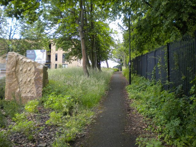
Today, Arbourthorne Estate is a diverse and close-knit community. The estate offers a range of amenities to its residents, including schools, shops, and a community center. The nearby Norfolk Heritage Park provides a green space for outdoor activities and leisure.
Transportation links in the area are convenient, with regular bus services connecting Arbourthorne Estate to Sheffield city center and surrounding areas. The estate also has good road access, with the A6102 and A621 roads running nearby.
Despite facing some challenges in the past, Arbourthorne Estate has seen ongoing efforts to improve the quality of life for its residents. The local council and community organizations have worked together to implement regeneration projects, improving housing conditions and promoting community engagement.
Overall, Arbourthorne Estate offers affordable housing options in a well-connected and vibrant part of Sheffield, making it an attractive place to live for many.
If you have any feedback on the listing, please let us know in the comments section below.
Arbourthorne Estate Images
Images are sourced within 2km of 53.358229/-1.447497 or Grid Reference SK3684. Thanks to Geograph Open Source API. All images are credited.


Arbourthorne Estate is located at Grid Ref: SK3684 (Lat: 53.358229, Lng: -1.447497)
Division: West Riding
Unitary Authority: Sheffield
Police Authority: South Yorkshire
What 3 Words
///scarf.trim.stones. Near Sheffield, South Yorkshire
Nearby Locations
Related Wikis
Arbourthorne
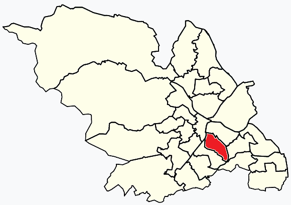
Park & Arbourthorne ward—which includes the districts of Arbourthorne, Gleadless, and Norfolk Park—is one of the 28 electoral wards in City of Sheffield...
Sheffield Springs Academy
Sheffield Springs Academy is an 11–16 secondary school serving the Park, Manor and Castle wards of Sheffield, South Yorkshire, England. The academy is...
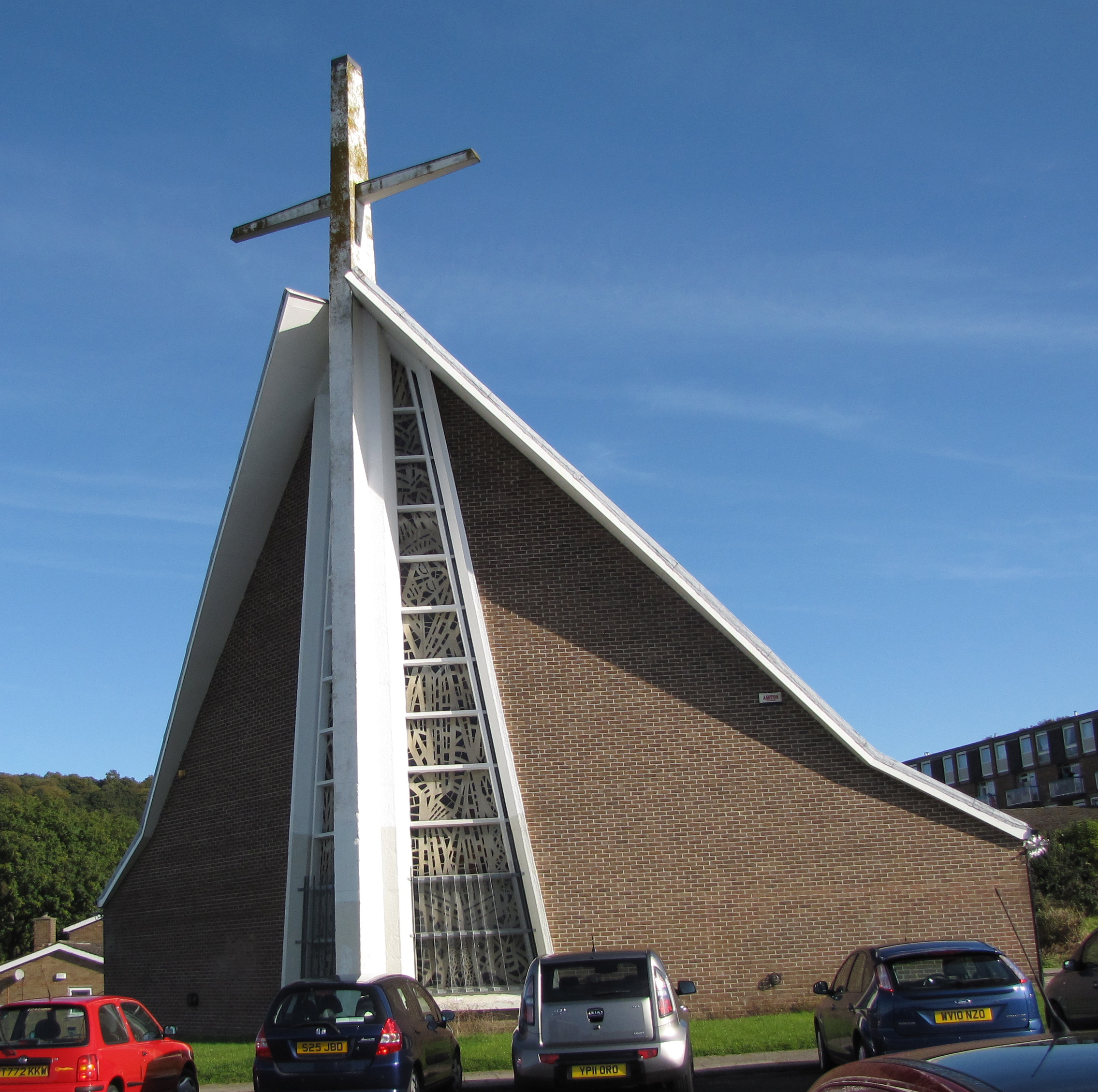
Holy Cross Church, Gleadless Valley
Holy Cross Church, Gleadless Valley, is a Church of England church building in the City of Sheffield, England. It is situated on Spotswood Mount and is...
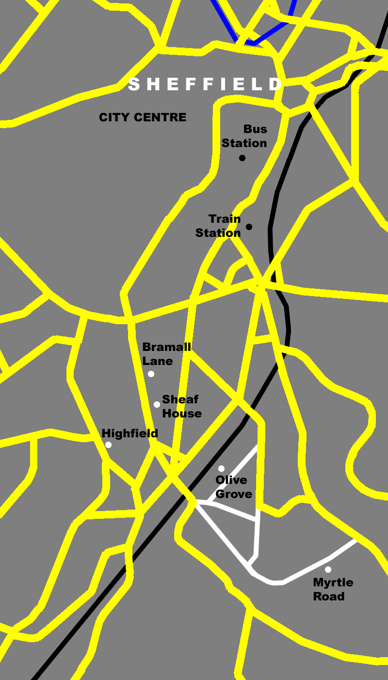
Myrtle Road
Myrtle Road is a former home ground of The Wednesday Football Club and was located on the street of the same name, near the centre of Sheffield, South...

Heeley
Heeley is a former cluster of Derbyshire villages. Which all now form a suburb in the south of the City of Sheffield, England. The village has existed...

Norfolk Heritage Park
Norfolk Heritage Park (grid reference SK365859) (commonly referred to as 'Norfolk Park') is a 28-hectare (69-acre) public park in Sheffield, South Yorkshire...

Queen's Tower, Sheffield
Queen's Tower is a house in Sheffield, lying on Park Grange Road in the Norfolk Park area of the city. It was designed by Woodhead & Hurst for Samuel...

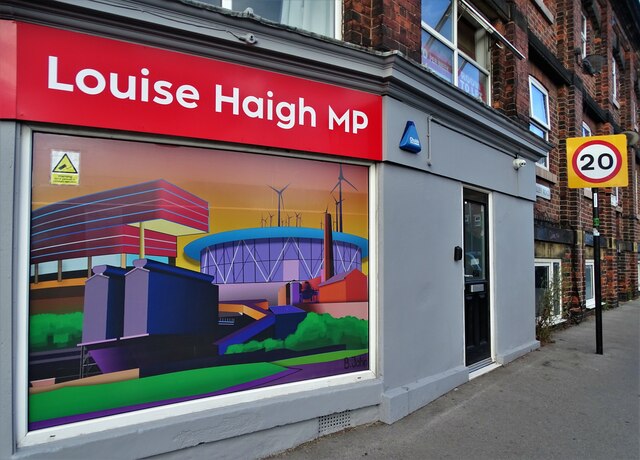
Sheffield South East (UK Parliament constituency)
Sheffield South East is a constituency represented in the House of Commons of the UK Parliament since its 2010 creation by Clive Betts, a member of the...
Related Videos

Sheffield City Centre 2023 Walking Tour 4K 60fps #Sheffield #UK
Sheffield is changing rapidly as new projects regenerate some of the more run-down parts of the city. One such, the Heart of the ...

SHEFFIELD | A full walking tour of Sheffield City Centre
SHEFFIELD | A full walking tour of Sheffield City Centre For more great Sheffield Videos, subscribe to our Youtube channel here ...

Sheffield City Centre walking tour on a beautiful sunny day |England United Kingdom | June 2023
Me and my family walking tour around in the city centre in Sheffield in a beautiful hot sunny day. Sheffield is a city in the English ...

SHEFFIELD City Centre Walking Tour | Sheffield, South Yorkshire 4k City Walk
Virtual walking tour through the beautiful City Centre of Sheffield, South Yorkshire. Mainly walking along the main high street.
Nearby Amenities
Located within 500m of 53.358229,-1.447497Have you been to Arbourthorne Estate?
Leave your review of Arbourthorne Estate below (or comments, questions and feedback).