Coombelake

Settlement in Devon East Devon

England

Coombelake

Ottery St Mary - The London Inn The London Inn on Silver Street is an historic coaching inn.
<span class="nowrap"><a title="www.thelondoninnottery.com" rel="nofollow ugc noopener" href="http://www.thelondoninnottery.com">Link</a><img style="margin-left:2px;" alt="External link" title="External link - shift click to open in new window" src="https://s1.geograph.org.uk/img/external.png" width="10" height="10"/></span>
Ottery St Mary - The London Inn Credit: Colin Smith

Coombelake is a small village located in the county of Devon, England. Situated in the district of East Devon, it lies just south of the town of Honiton and is nestled within the picturesque East Devon Area of Outstanding Natural Beauty.

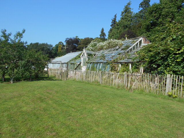
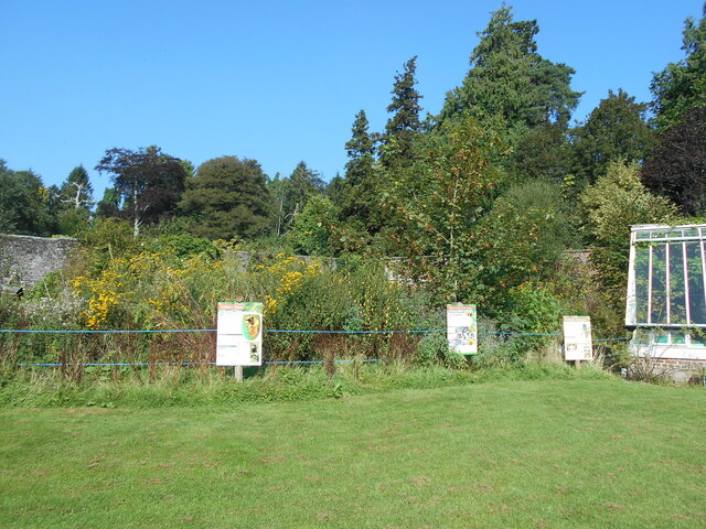
The village is characterized by its tranquil and idyllic setting, surrounded by rolling hills, lush green fields, and charming countryside views. Coombelake is renowned for its natural beauty and serves as a popular destination for outdoor enthusiasts, offering various walking and cycling routes through its scenic landscapes.

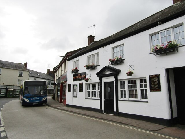
Despite its small size, Coombelake is well-served by local amenities. The village boasts a local pub, The Coombelake Inn, which offers traditional food and drinks, as well as a warm and friendly atmosphere for locals and visitors alike. Additionally, there is a small community center that hosts various events and activities throughout the year, contributing to the close-knit community spirit of the village.

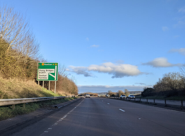
Coombelake is conveniently located close to major transport links. The nearby A30 road provides easy access to Honiton, Exeter, and other surrounding towns, making it an ideal location for those who prefer a peaceful rural lifestyle while still requiring proximity to urban areas.

Overall, Coombelake offers a serene and picturesque setting, making it a desirable place to live or visit for those seeking a slower pace of life and a strong connection with nature.

If you have any feedback on the listing, please let us know in the comments section below.
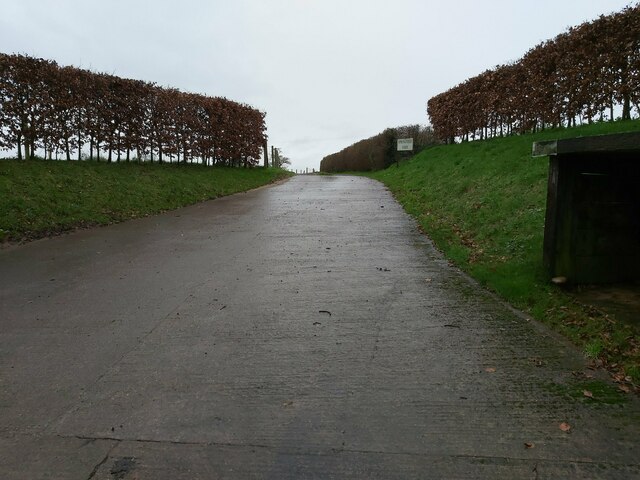
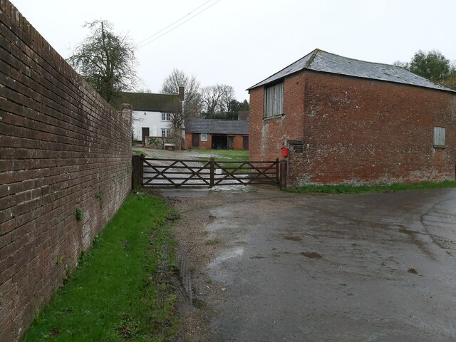
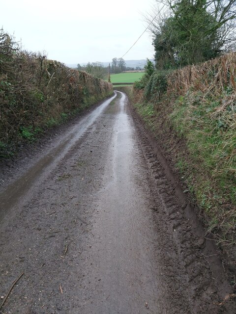
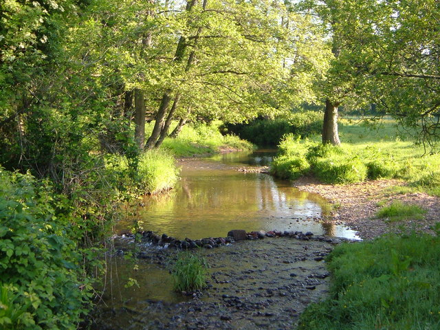
Coombelake Images

Images are sourced within 2km of 50.756279/-3.3056379 or Grid Reference SY0896. Thanks to Geograph Open Source API. All images are credited.

Ottery St Mary - The London Inn The London Inn on Silver Street is an historic coaching inn.
<span class="nowrap"><a title="www.thelondoninnottery.com" rel="nofollow ugc noopener" href="http://www.thelondoninnottery.com">Link</a><img style="margin-left:2px;" alt="External link" title="External link - shift click to open in new window" src="https://s1.geograph.org.uk/img/external.png" width="10" height="10"/></span>
Ottery St Mary - The London Inn
The London Inn on Silver Street is an historic coaching inn. LinkExternal link
Ottery St Mary - The Volunteer Inn Traditional pub in the centre of Ottery St Mary, a market town.
<span class="nowrap"><a title="www.volunteerinnottery.co.uk" rel="nofollow ugc noopener" href="http://www.volunteerinnottery.co.uk">Link</a><img style="margin-left:2px;" alt="External link" title="External link - shift click to open in new window" src="https://s1.geograph.org.uk/img/external.png" width="10" height="10"/></span>
Ottery St Mary - The Volunteer Inn
Traditional pub in the centre of Ottery St Mary, a market town. LinkExternal link
Ottery St Mary - Jubilee Memorial Built to commemorate Queen Victoria's Diamond Jubilee (1897), copy of a gatepost at Kensington Palace. In the background is St Mary's Church.
<span class="nowrap"><a title="www.otterystmary-tc.gov.uk" rel="nofollow ugc noopener" href="http://www.otterystmary-tc.gov.uk">Link</a><img style="margin-left:2px;" alt="External link" title="External link - shift click to open in new window" src="https://s1.geograph.org.uk/img/external.png" width="10" height="10"/></span>
Ottery St Mary - Jubilee Memorial
Built to commemorate Queen Victoria's Diamond Jubilee (1897), copy of a gatepost at Kensington Palace. In the background is St Mary's Church. LinkExternal link
Ottery St Mary - Stocks Two seater stocks in St Mary's churchyard - at least any miscreants may have stayed dry.
<span class="nowrap"><a title="www.otterystmary-tc.gov.uk" rel="nofollow ugc noopener" href="http://www.otterystmary-tc.gov.uk">Link</a><img style="margin-left:2px;" alt="External link" title="External link - shift click to open in new window" src="https://s1.geograph.org.uk/img/external.png" width="10" height="10"/></span>
Ottery St Mary - Stocks
Two seater stocks in St Mary's churchyard - at least any miscreants may have stayed dry. LinkExternal link
Ottery - St Mary Ottery St Mary's parish church, originally Norman, was modified in 1337 by the Bishop of Exeter, making a small replica of Exeter Cathedral. The weathercock is over 500 years old and believed to be Europe's oldest.
<span class="nowrap"><a title="www.otterystmary.org.uk" rel="nofollow ugc noopener" href="http://www.otterystmary.org.uk">Link</a><img style="margin-left:2px;" alt="External link" title="External link - shift click to open in new window" src="https://s1.geograph.org.uk/img/external.png" width="10" height="10"/></span>
Ottery - St Mary
Ottery St Mary's parish church, originally Norman, was modified in 1337 by the Bishop of Exeter, making a small replica of Exeter Cathedral. The weathercock is over 500 years old and believed to be Europe's oldest. LinkExternal link
Ottery St Mary - Paternoster Row Georgian buildings opposite St Mary's churchyard.
<span class="nowrap"><a title="www.otterystmary-tc.gov.uk" rel="nofollow ugc noopener" href="http://www.otterystmary-tc.gov.uk">Link</a><img style="margin-left:2px;" alt="External link" title="External link - shift click to open in new window" src="https://s1.geograph.org.uk/img/external.png" width="10" height="10"/></span>
Ottery St Mary - Paternoster Row
Georgian buildings opposite St Mary's churchyard. LinkExternal link
In need of some TLC An overgrown greenhouse at Wildwood Escot.
a slightly less overgrown photograph can be seen <a href="https://www.geograph.org.uk/photo/5363512">SY0797 : Walled garden at Escot</a>
In need of some TLC
An overgrown greenhouse at Wildwood Escot. a slightly less overgrown photograph can be seen SY0797 : Walled garden at Escot
A quiet corner A section of the kitchen garden at Wildwood Escot, has been allowed to grow wild to encourage wildlife.
the signs give information on the types of bees that can found.
A quiet corner
A section of the kitchen garden at Wildwood Escot, has been allowed to grow wild to encourage wildlife. the signs give information on the types of bees that can found.
Ottery St Mary : The Square Looking across The Square.
Ottery St Mary : The Square
Looking across The Square.
Ottery St Mary : Gold Street Looking up Gold Street.
Ottery St Mary : Gold Street
Looking up Gold Street.
Ottery St Mary : Prospect Place Looking along the road.
Ottery St Mary : Prospect Place
Looking along the road.
Ottery St Mary : Car Park A car park at the Sainsbury's store.
Ottery St Mary : Car Park
A car park at the Sainsbury's store.
Fenny Bridges turning from the A30 heading east
Road Entrance to a Farm Entrance driveway to Springfield Farm as viewed from the country road between Beacon Cross and Larkbeare in Devon.
Road Entrance to a Farm
Entrance driveway to Springfield Farm as viewed from the country road between Beacon Cross and Larkbeare in Devon.
Gated Entrance to a Farmhouse Wooden, gated entrance to Larkbeare Dairy Farmhouse on the country road between Larkbeare and Talaton Farm in Devon.
Gated Entrance to a Farmhouse
Wooden, gated entrance to Larkbeare Dairy Farmhouse on the country road between Larkbeare and Talaton Farm in Devon.
Country Road near Larkbeare A view down the country road from Larkbeare to Talaton Farm in Devon looking towards Escot Park.
Country Road near Larkbeare
A view down the country road from Larkbeare to Talaton Farm in Devon looking towards Escot Park.
St Mary's Church in Ottery St Mary St Mary's Church in Ottery St Mary, Devon as viewed from the B3117 that passes through the town and past the churchyard.
St Mary's Church in Ottery St Mary
St Mary's Church in Ottery St Mary, Devon as viewed from the B3117 that passes through the town and past the churchyard.
St Mary's Church in Ottery St Mary St Mary's Church in Ottery St Mary, Devon as viewed from the churchyard.
St Mary's Church in Ottery St Mary
St Mary's Church in Ottery St Mary, Devon as viewed from the churchyard.
Show me another place!

Coombelake is located at Grid Ref: SY0896 (Lat: 50.756279, Lng: -3.3056379)

Administrative County: Devon

District: East Devon

Police Authority: Devon and Cornwall

What 3 Words

///pounces.shepherdess.tabloid. Near Ottery St Mary, Devon

Related Wikis

Cadhay

Cadhay is an historic estate in the parish of Ottery St Mary in Devon, England, 10 miles (16 km) east of Exeter and 5 miles (8 km) from the sea at Sidmouth...

The King's School, Ottery St Mary

The King's School is a secondary school and sixth form located in Ottery St Mary, Devon, England. It was established as a choir school by the bishop John...

River Tale

The River Tale is a small river that drains the southern slopes of the Blackdown Hills, in Devon, England. It is a tributary of the River Otter and 8...

Fairmile, Devon

Fairmile is a hamlet in the English county of Devon. In the late 1990s, Fairmile became a focus of direct action protest activities, as squatters attempted...

Ottery St Mary railway station

Ottery St Mary railway station is a closed railway station that served the town of Ottery St Mary, in Devon, England. It was opened in 1874 on the Sidmouth...
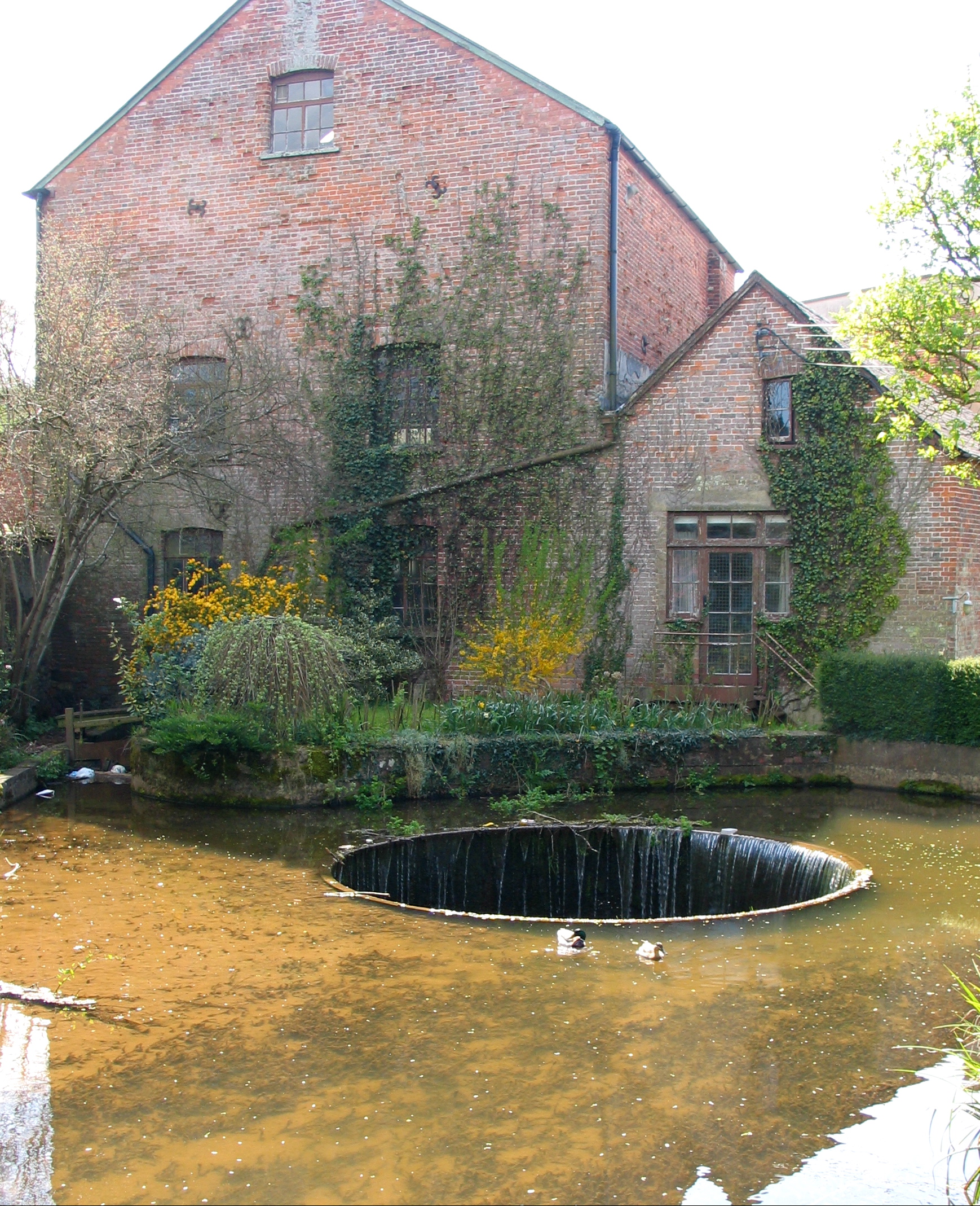
Tumbling Weir

The Tumbling Weir is a circular weir in the town of Ottery St. Mary, Devon, England that allows water from a leat or man-made stream to reach the River...

St Mary's Church, Ottery St Mary

St Mary's Church is a Grade I listed building, a parish church in the Church of England in Ottery St Mary, Devon. The church is part of "Churches Together...

Ottery St Mary

Ottery St Mary, known as "Ottery", is a town and civil parish in the East Devon district of Devon, England, on the River Otter, about 10 miles (16 km)...

Nearby Amenities

Located within 500m of 50.756279,-3.3056379
Power: pole
Lat/Long: 50.7561981/-3.3040789
Power: pole
Lat/Long: 50.7566898/-3.3048798
Power: pole
Lat/Long: 50.7597739/-3.3081887
Power: pole
Lat/Long: 50.7548148/-3.3017681
Power: pole
Lat/Long: 50.7587261/-3.3070762
Power: pole
Lat/Long: 50.753997/-3.3003076
Power: pole
Lat/Long: 50.7577144/-3.3060189
Power: pole
Lat/Long: 50.7555522/-3.3029828
The data included in this document is from www.openstreetmap.org. The data is made available under ODbL.

Have you been to Coombelake?

Leave your review of Coombelake below (or comments, questions and feedback).