Poole Gorse
Wood, Forest in Cheshire
England
Poole Gorse

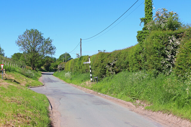
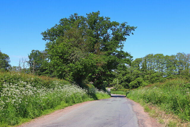
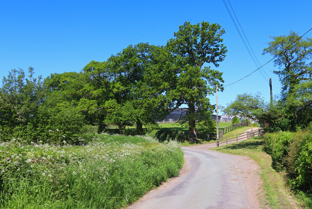
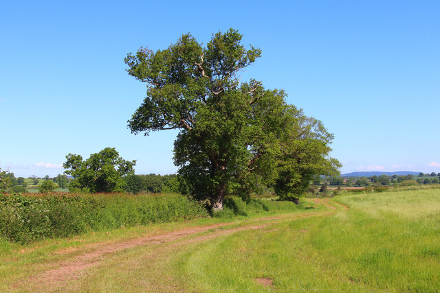
Poole Gorse is a picturesque woodland located in the county of Cheshire, England. Situated on the outskirts of the village of Poole, this charming forest covers an area of approximately 100 acres. It is part of the larger Delamere Forest, which is renowned for its natural beauty and abundant wildlife.
The forest is predominantly composed of broadleaf trees, such as oak, beech, and birch, which create a dense canopy overhead. This creates a peaceful and tranquil atmosphere, making it a popular destination for nature lovers and hikers alike.
Poole Gorse boasts several well-maintained walking trails that wind through the woodland, offering visitors the opportunity to explore the area and take in the stunning scenery. The paths vary in length and difficulty, catering to both casual strollers and avid adventurers.
Wildlife enthusiasts will be delighted by the diverse array of animals that call Poole Gorse home. The forest is home to a variety of bird species, including woodpeckers, owls, and thrushes, making it a haven for birdwatchers. Additionally, deer, foxes, and rabbits can often be spotted roaming through the undergrowth.
The forest is well-equipped with amenities to ensure visitors have a comfortable and enjoyable experience. There are picnic areas and benches scattered throughout the woodland, providing a perfect spot to relax and enjoy a packed lunch amidst nature's splendor.
Overall, Poole Gorse in Cheshire is a captivating woodland that offers visitors a chance to immerse themselves in the beauty of nature. Whether it's for a leisurely stroll, birdwatching, or a family picnic, this serene forest is a true gem in the heart of Cheshire.
If you have any feedback on the listing, please let us know in the comments section below.
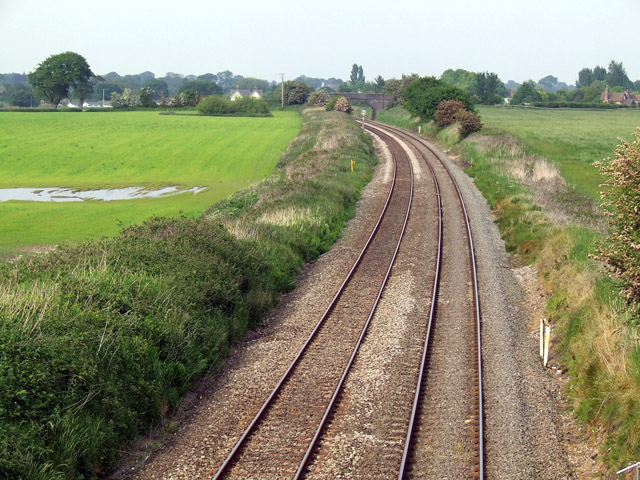
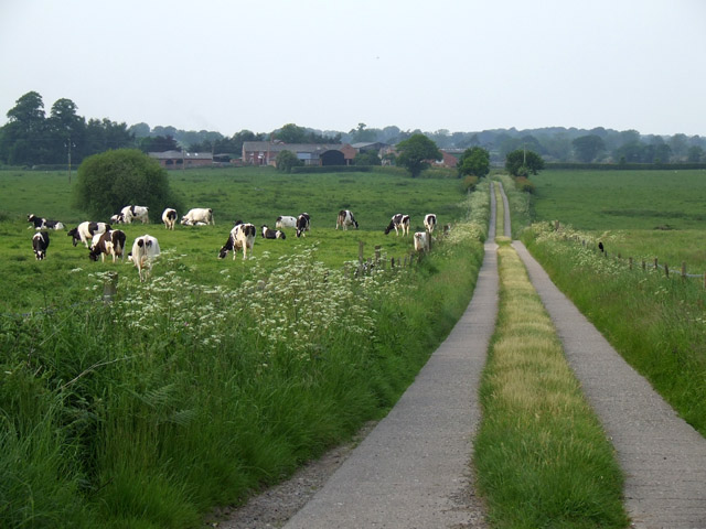
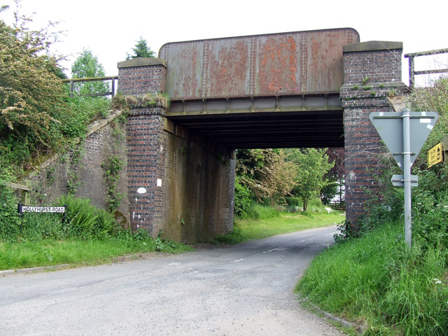
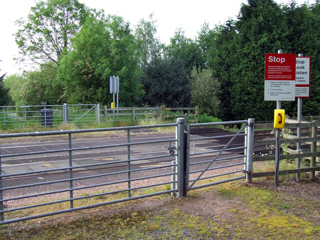
Poole Gorse Images
Images are sourced within 2km of 53.002178/-2.6212204 or Grid Reference SJ5845. Thanks to Geograph Open Source API. All images are credited.


Poole Gorse is located at Grid Ref: SJ5845 (Lat: 53.002178, Lng: -2.6212204)
Unitary Authority: Cheshire East
Police Authority: Cheshire
What 3 Words
///treaty.restored.stick. Near Whitchurch, Shropshire
Nearby Locations
Related Wikis

Brankelow Cottage
Brankelow Cottage, also known as Brankelow Folly and Brankelow House, is a folly on the Combermere Abbey estate, in Cheshire, England. It is listed at...

Combermere Abbey
Combermere Abbey is a former monastery, later a country house, near Burleydam, between Nantwich, Cheshire and Whitchurch in Shropshire, England, located...

Marbury, Cheshire
Marbury is a small village located at SJ560457 in the civil parish of Marbury and District, formerly Marbury cum Quoisley, within the unitary authority...

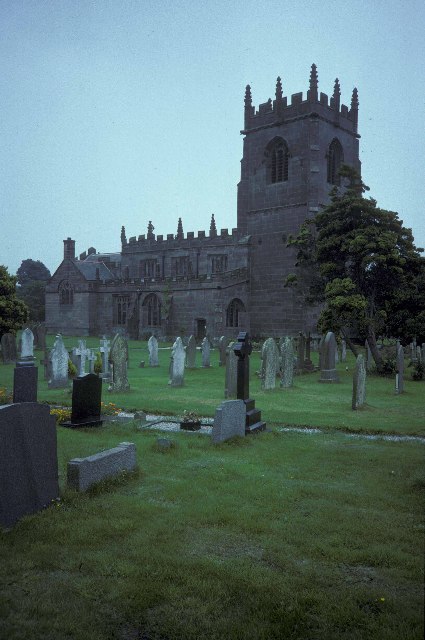
St Michael's Church, Marbury
St Michael's Church, also known as St Michael and All Angels, stands on a small rise overlooking Big Mere in the village of Marbury, Cheshire, England...

Newhall, Cheshire
Newhall is a village (at SJ609454) and civil parish in the unitary authority of Cheshire East and the ceremonial county of Cheshire, England. The village...
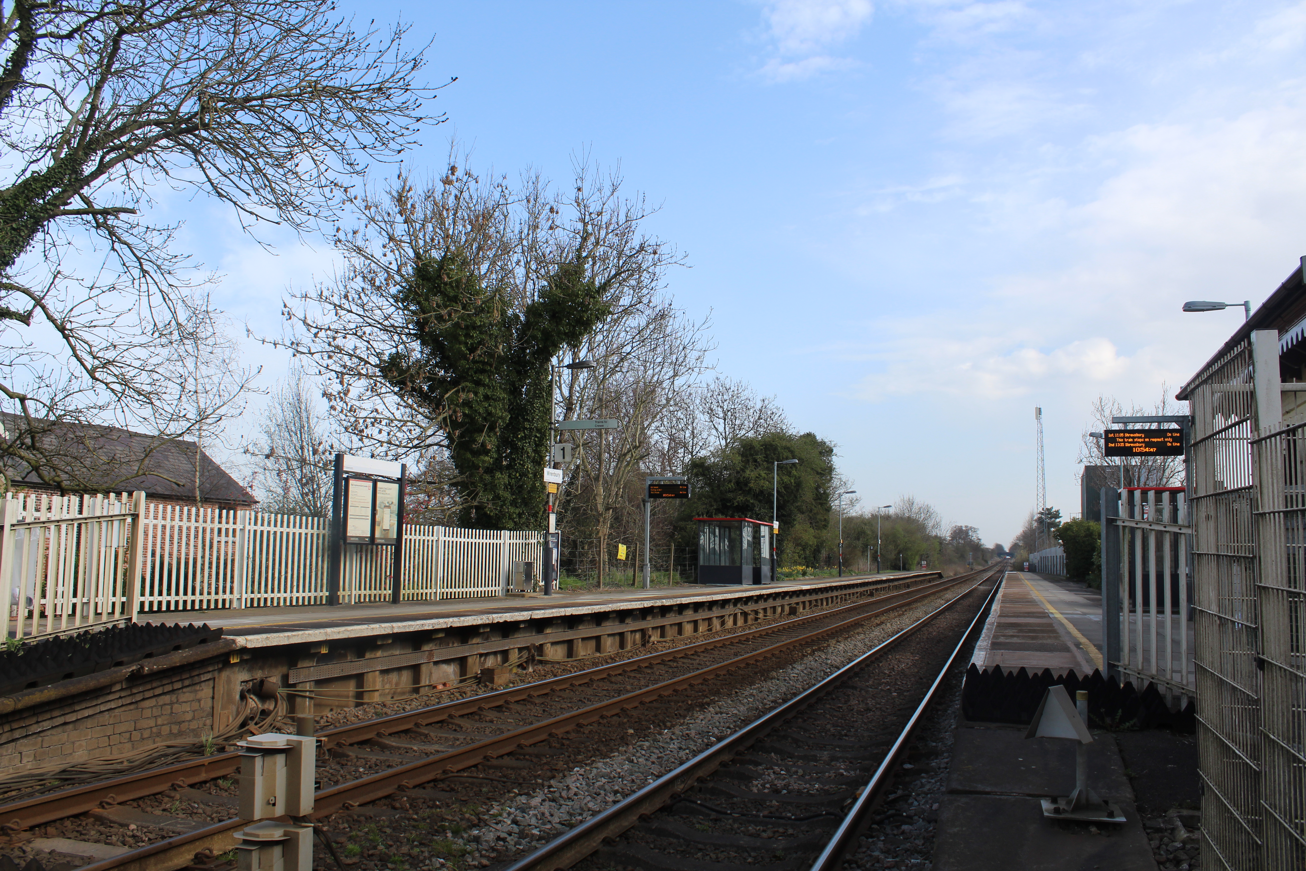
Wrenbury railway station
Wrenbury railway station serves the village of Wrenbury in Cheshire, England and is on the Welsh Marches Line 9 miles (14 km) south west of Crewe. It is...
Wrenbury-cum-Frith
Wrenbury-cum-Frith is a village and civil parish in the unitary authority of Cheshire East, and the ceremonial county of Cheshire, England. It lies on...

St Margaret's Church, Wrenbury
St Margaret's Church overlooks the village green of Wrenbury, Cheshire, England. The church is recorded in the National Heritage List for England as a...
Nearby Amenities
Located within 500m of 53.002178,-2.6212204Have you been to Poole Gorse?
Leave your review of Poole Gorse below (or comments, questions and feedback).