Addison's Plantation
Wood, Forest in Cumberland Carlisle
England
Addison's Plantation
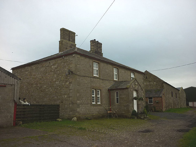
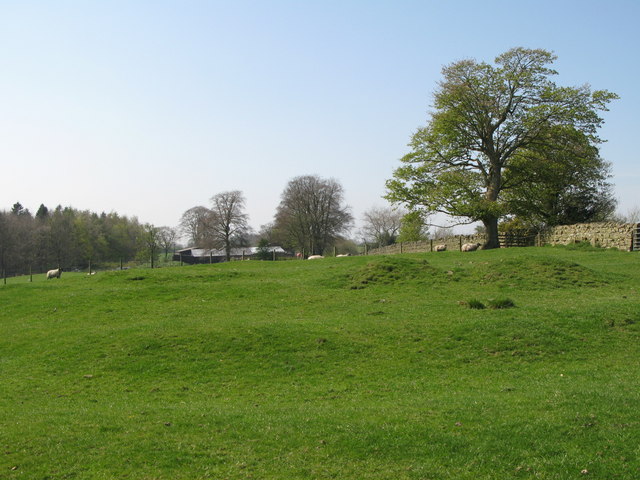
Addison's Plantation is a historic site located in Cumberland, a town in the Wood Forest region of England. The plantation dates back to the 18th century and is known for its significant role in the region's agricultural history.
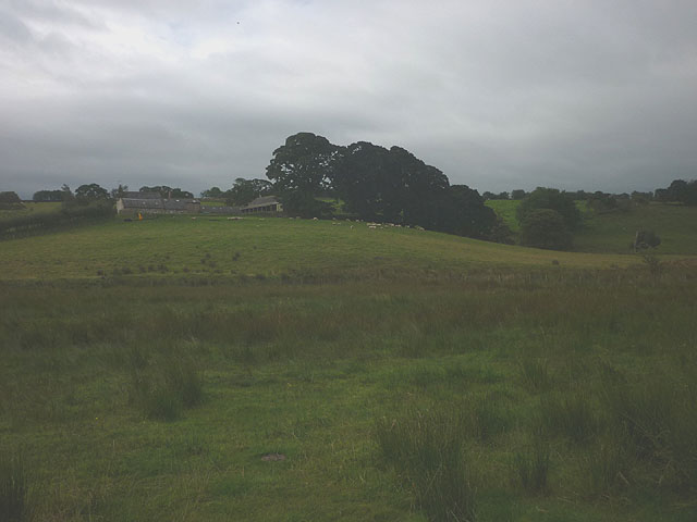
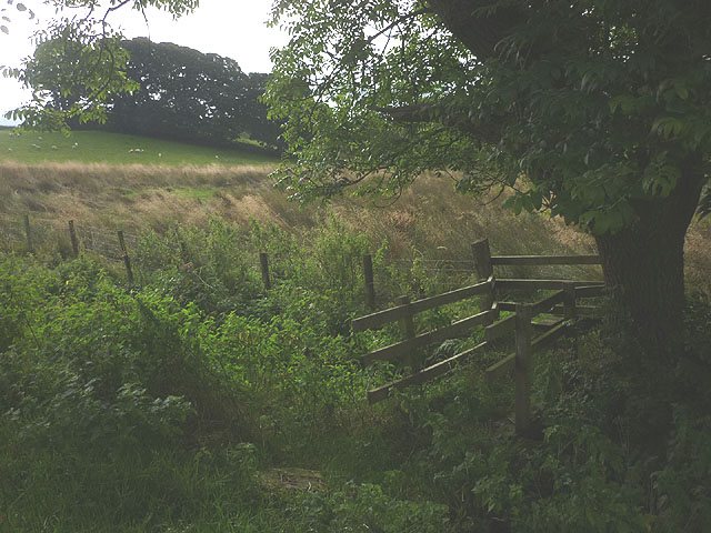
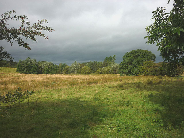
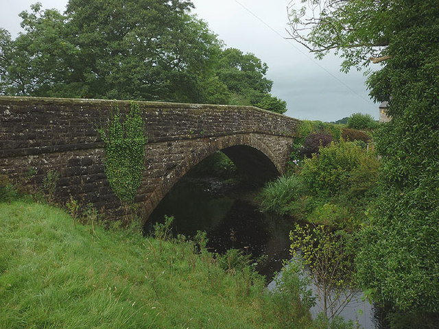
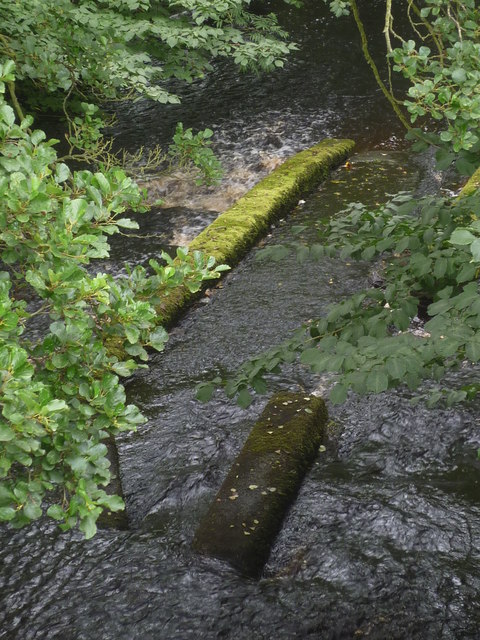
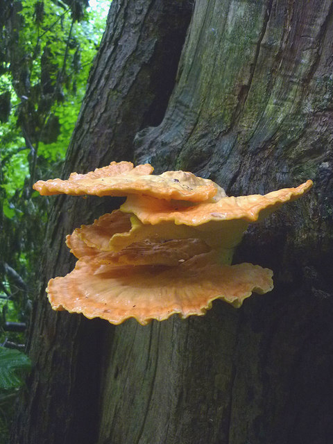
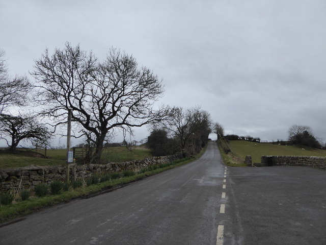
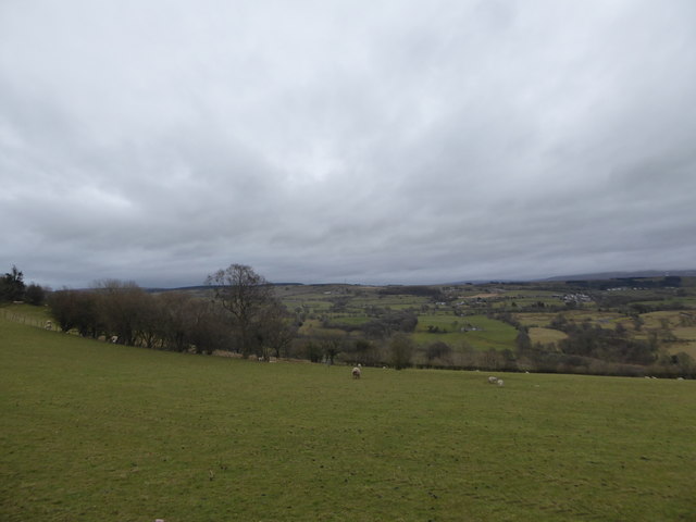
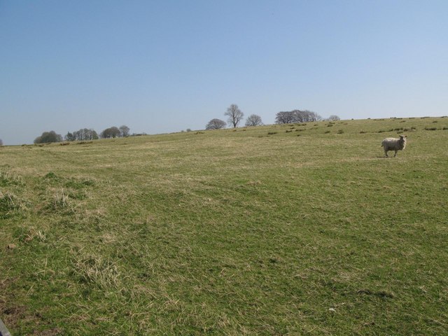
Covering an expansive area of lush greenery, Addison's Plantation encompasses a total of 500 acres of land. The plantation is home to a wide variety of flora and fauna, including towering oak and beech trees, and an array of wildflowers that bloom throughout the year. The dense forest provides a habitat for numerous bird species, making it a popular spot for birdwatching enthusiasts.
The plantation was initially established as a site for the cultivation of various crops, including wheat, barley, and potatoes. Over the years, it became renowned for its high-quality produce, attracting buyers from all over the region. The fertile soil and favorable climate of the Wood Forest region contributed to the plantation's success.
Today, Addison's Plantation serves as a recreational area, offering visitors a chance to explore its natural beauty through walking and cycling trails. The well-maintained paths allow visitors to navigate the plantation easily, while also providing opportunities to observe the diverse wildlife that inhabits the area.
Additionally, the plantation hosts educational programs and guided tours, where visitors can learn about the agricultural history of the region and the significance of Addison's Plantation. The site also features a visitor center that offers information on the plantation's history, as well as a gift shop where visitors can purchase locally produced goods.
Overall, Addison's Plantation stands as a testament to the region's agricultural heritage and continues to be a cherished destination for nature lovers and history enthusiasts alike.
If you have any feedback on the listing, please let us know in the comments section below.
Addison's Plantation Images
Images are sourced within 2km of 54.990116/-2.6515529 or Grid Reference NY5866. Thanks to Geograph Open Source API. All images are credited.
Addison's Plantation is located at Grid Ref: NY5866 (Lat: 54.990116, Lng: -2.6515529)
Administrative County: Cumbria
District: Carlisle
Police Authority: Cumbria
What 3 Words
///guarded.screen.cowboy. Near Brampton, Cumbria
Nearby Locations
Related Wikis
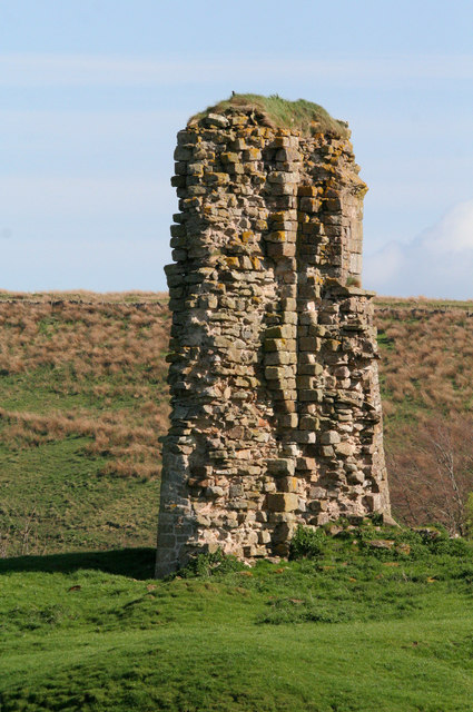
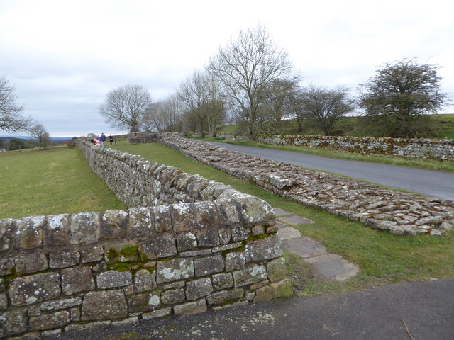
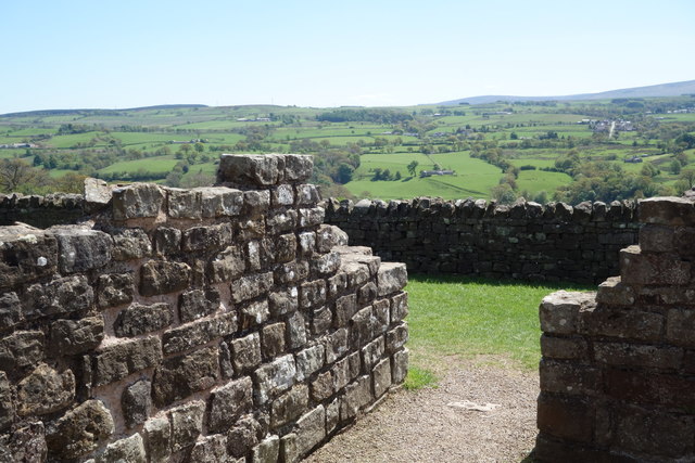
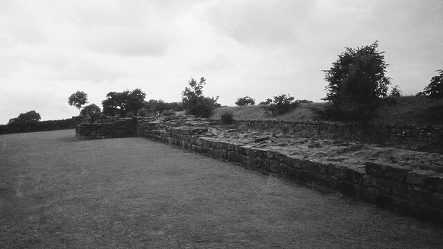
Triermain Castle
Triermain Castle was a castle near Brampton, Cumbria, England. Triermain, Cumbria (Trewermain, Treverman c 1200): 'homestead at the stone' (Welsh tre(f...
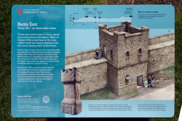
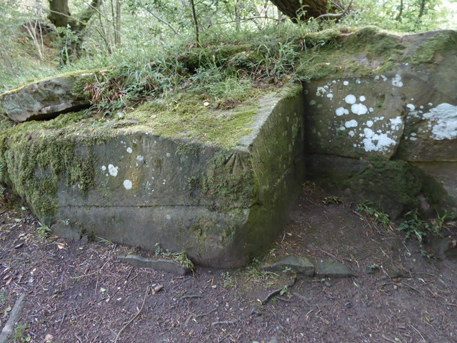
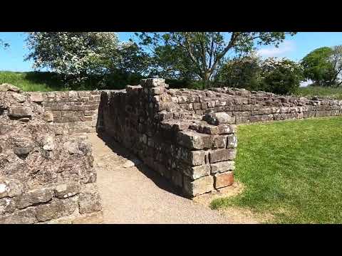
Leahill Turret, Hadrian's Wall
Leahill Turret is a typical example of one of the lookout towers located between the milecastles on Hadrian's Wall in Cumbria; located on the Lanercost...
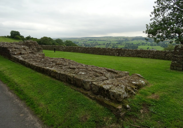
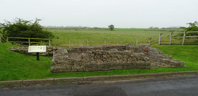
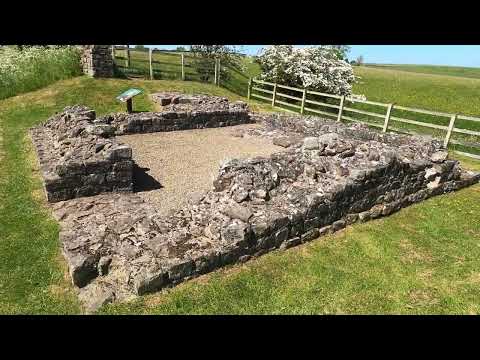
Milecastle 51
Milecastle 51 (Wall Bowers) was a milecastle on Hadrian's Wall (grid reference NY59306549). == Description == Milecastle 51 is west of Birdoswald fort...

Waterhead, Carlisle
Waterhead is a civil parish in Carlisle district, Cumbria, England. At the 2011 census it had a population of 130.The east and south boundaries of the...

Milecastle 52
Milecastle 52 (Bankshead) was a milecastle on Hadrian's Wall (grid reference NY57946490). == Description == Milecastle 52 is west of Birdoswald fort. It...
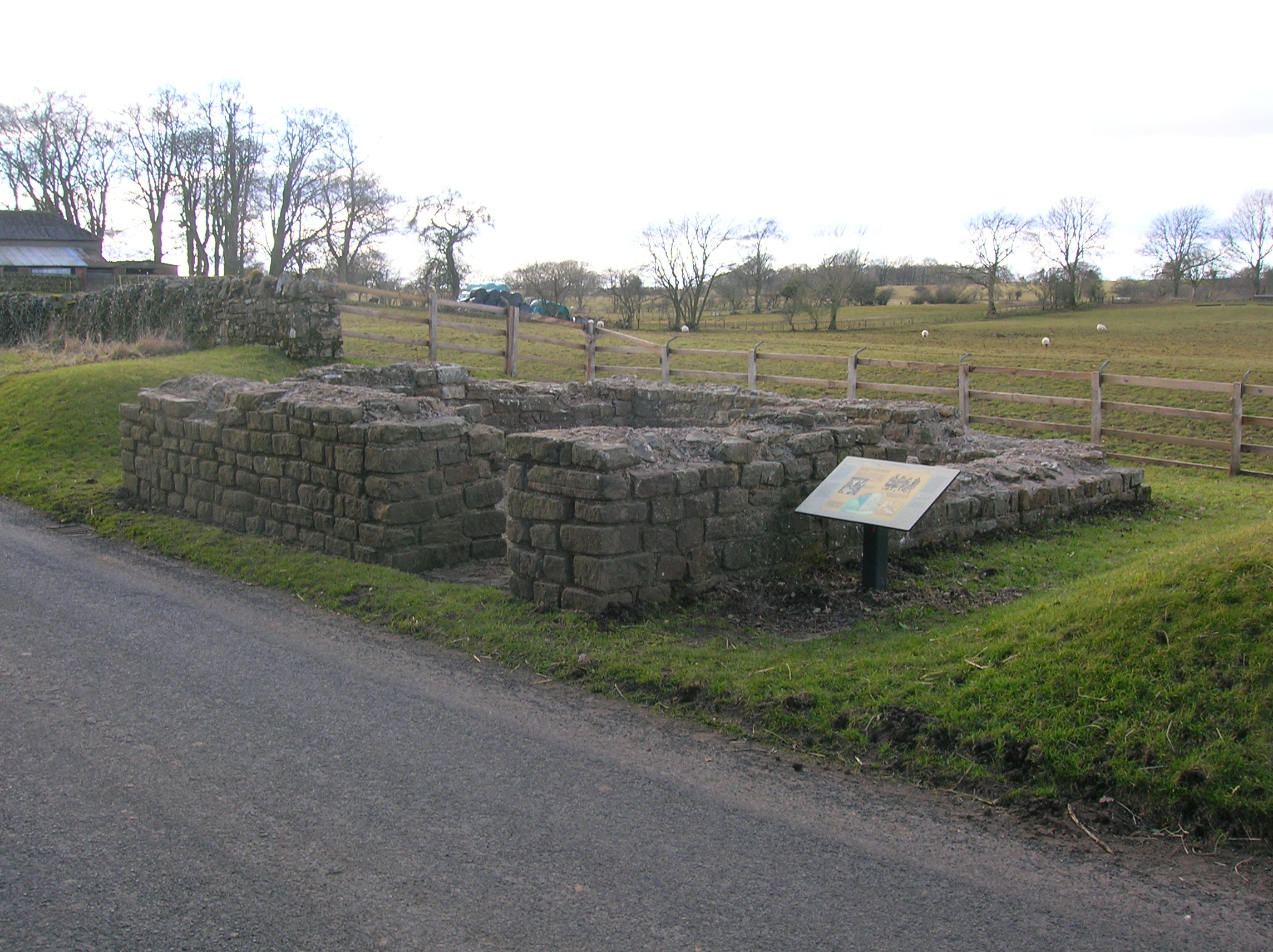
Pike Hill Signal Tower
Pike Hill Signal Tower was one of a number of signal stations that were built on high ground overlooking the line of the Roman Stanegate road in northern...

Banks, Cumbria
Banks is a village in Cumbria, England, astride the course of Hadrian's Wall, 3 mile (5 km) NE of the market town of Brampton. The historic Lanercost Priory...
Milecastle 50
Milecastle 50 (High House) was a milecastle on Hadrian's Wall (grid reference NY60676601). == Description == Milecastle 50 is west of Birdoswald fort....
Related Videos
Hadrian's Wall-Pike Hill Signal Tower+Banks East Turret #views #theconquerorchallenges #history
Snag 10% off your 1st marathon with my link! https://www.theconqueror.events/r/JC13020 Pike Hill Signal Tower is a Roman ...
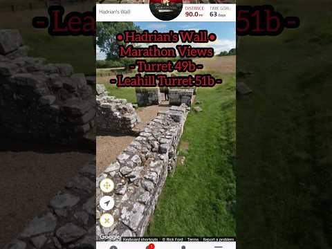
Hadrian's Wall - Turret 49b + Leahill Turret 51b #theconquerorchallenges #views #beauty #history
Snag 10% off your 1st marathon with my link! https://www.theconqueror.events/r/JC13020 The site of Roman turret 49B, part of ...
Banks East Turret Hadrian's Wall
Hadrian's Wall (Latin: Vallum Hadriani, also known as the Roman Wall, Picts' Wall, or Vallum Aelium in Latin), is a former ...
Hadrian's Wall Piper Sike Turret 51a
Hadrian's Wall (Latin: Vallum Hadriani, also known as the Roman Wall, Picts' Wall, or Vallum Aelium in Latin), is a former ...
Nearby Amenities
Located within 500m of 54.990116,-2.6515529Have you been to Addison's Plantation?
Leave your review of Addison's Plantation below (or comments, questions and feedback).