Cookshill

Settlement in Staffordshire Staffordshire Moorlands

England

Cookshill

Park Hall, Pine Forest
Park Hall, Pine Forest Credit: Brian Deegan

Cookshill is a small village located in the county of Staffordshire, England. Situated approximately 6 miles south of the town of Stoke-on-Trent, it falls within the Staffordshire Moorlands district. The village is nestled amidst picturesque countryside, offering residents and visitors a tranquil and scenic environment.

Cookshill is a predominantly residential area with a close-knit community. The village features a mix of traditional stone-built houses, cottages, and modern residences, providing a diverse range of housing options. The area is renowned for its peaceful atmosphere, making it an ideal place for those seeking a quiet and idyllic lifestyle.

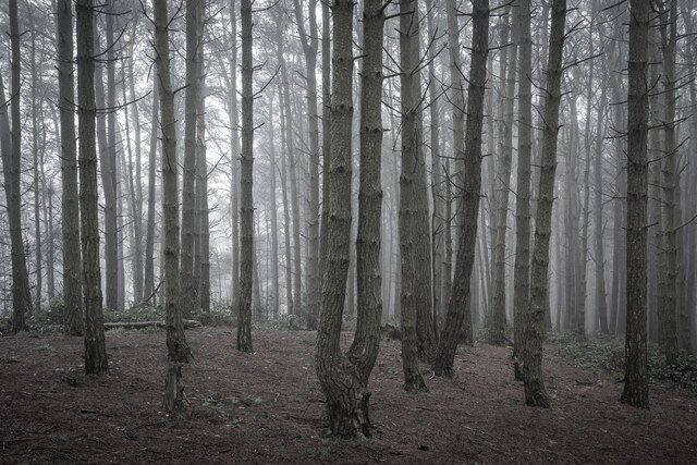
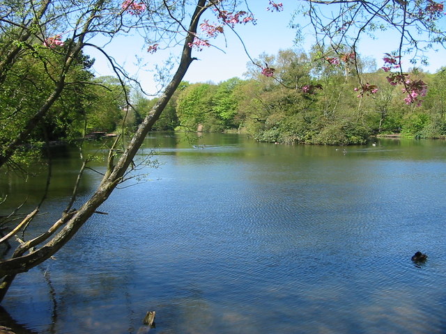
While Cookshill is primarily a residential village, it is conveniently located near several amenities. The nearby town of Stoke-on-Trent offers a wide range of shopping facilities, supermarkets, restaurants, and entertainment options. The village also benefits from its proximity to the beautiful Staffordshire Moorlands countryside, providing ample opportunities for outdoor activities such as hiking, cycling, and nature walks.

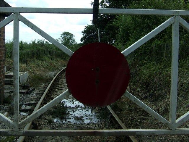
Historically, Cookshill was known for its coal mining industry, which played a significant role in the local economy. However, the decline of the industry led to a shift towards a more diverse economic landscape, with many residents now commuting to nearby towns for employment.

Overall, Cookshill offers a peaceful and scenic village lifestyle, coupled with convenient access to nearby amenities and natural attractions. Its charming setting and close community make it an attractive place to live for those seeking a quieter pace of life in the Staffordshire countryside.

If you have any feedback on the listing, please let us know in the comments section below.
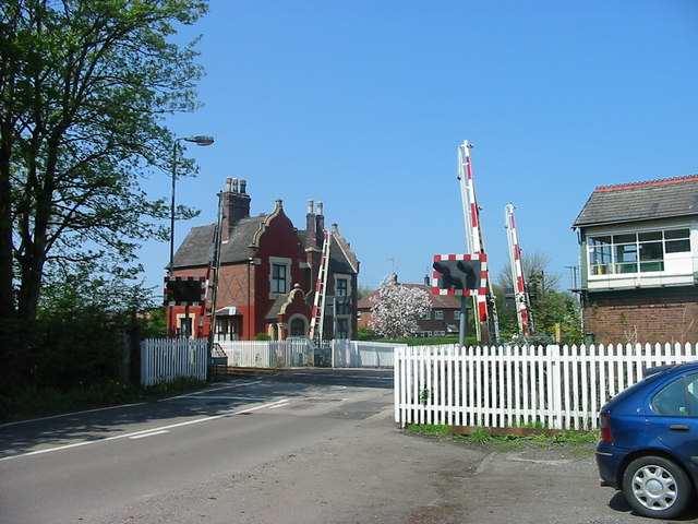
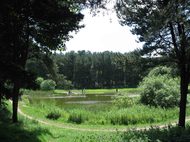
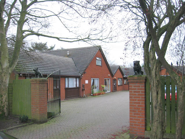
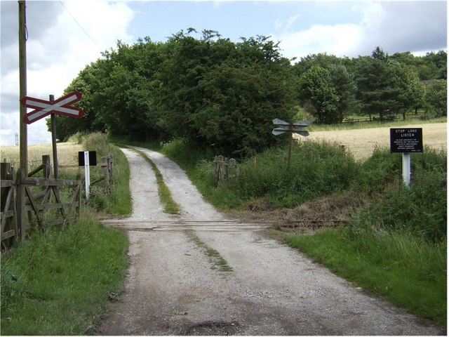
Cookshill Images

Images are sourced within 2km of 52.987171/-2.080556 or Grid Reference SJ9443. Thanks to Geograph Open Source API. All images are credited.

Park Hall, Pine Forest
Car or Boat, Caverswall Quarry
FlyUnder The Meir Underpass, on the A50 at Stoke. Constructed in 1998, it eased considerably the congestion at this notorious bottleneck.
FlyUnder
The Meir Underpass, on the A50 at Stoke. Constructed in 1998, it eased considerably the congestion at this notorious bottleneck.
Weston Coyney Once in open country this peaceful pool is now a feature of a modern housing estate.
Weston Coyney
Once in open country this peaceful pool is now a feature of a modern housing estate.
Caverswall Village Situated on the outskirts of Stoke on Trent Caverswall is a quiet village centred around this square and village stocks.
Caverswall Village
Situated on the outskirts of Stoke on Trent Caverswall is a quiet village centred around this square and village stocks.
St Peter's Church, Caverswall Built approx. 350 years ago.
St Peter's Church, Caverswall
Built approx. 350 years ago.
Cookshill The Auctioneers Arms, Cookshill near Stoke on Trent.
Cookshill
The Auctioneers Arms, Cookshill near Stoke on Trent.
Caverswall Lane Crossing Modern crossing gates on the Stoke - Derby railway line. The distinctive architecture of the old North Staffordshire Railway can be seen in the crossing keepers house beyond.
Caverswall Lane Crossing
Modern crossing gates on the Stoke - Derby railway line. The distinctive architecture of the old North Staffordshire Railway can be seen in the crossing keepers house beyond.
Weston Coyney Park Hall, great place to walk among the trees
Weston Coyney
Park Hall, great place to walk among the trees
"Fieldway" Care Home, Blythe Bridge
St. Andrew's Church, Weston Coney Built: 1984 
Architect: Andrew Capper 
Patron: Dean and Chapter of Lichfield 

St Andrew's Church Centre, 375 Weston Road, Weston Coyney
St. Andrew's Church, Weston Coney
Built: 1984 Architect: Andrew Capper Patron: Dean and Chapter of Lichfield St Andrew's Church Centre, 375 Weston Road, Weston Coyney
Farm Crossing on the Foxfield Steam Railway The Foxfield Railway was built in 1892-1893 to provide a link to the national railway network for the Foxfield Colliery. It is now a preserved steam railway run by the Foxfield Light Railway Society.
Farm Crossing on the Foxfield Steam Railway
The Foxfield Railway was built in 1892-1893 to provide a link to the national railway network for the Foxfield Colliery. It is now a preserved steam railway run by the Foxfield Light Railway Society.
Crossing Gate on the Foxfield Steam Railway The Foxfield Railway was built in 1892-1893 to provide a link to the national railway network for the Foxfield Colliery. It is now a preserved steam railway run by the Foxfield Light Railway Society.
Crossing Gate on the Foxfield Steam Railway
The Foxfield Railway was built in 1892-1893 to provide a link to the national railway network for the Foxfield Colliery. It is now a preserved steam railway run by the Foxfield Light Railway Society.
Foxfield Railway south of Caverswall Road crossing The railway was built in 1892-3 to connect Foxfield colliery to the outside world. The colliery closed in 1965. The railway is now operated by enthusiasts most weekends May to October.
Foxfield Railway south of Caverswall Road crossing
The railway was built in 1892-3 to connect Foxfield colliery to the outside world. The colliery closed in 1965. The railway is now operated by enthusiasts most weekends May to October.
Level crossing on the Foxfield Railway The preserved Foxfield Railway crosses the Caverswall Road near Creswellford Farm.
Level crossing on the Foxfield Railway
The preserved Foxfield Railway crosses the Caverswall Road near Creswellford Farm.
Tickhill Lane near Cressford Farm
Creswellford Farm
Creswellford Farm
Kennels on Handley Banks You can also see the finger post for a public footpath by the gate on the right.
Kennels on Handley Banks
You can also see the finger post for a public footpath by the gate on the right.
Show me another place!

Cookshill is located at Grid Ref: SJ9443 (Lat: 52.987171, Lng: -2.080556)

Administrative County: Staffordshire

District: Staffordshire Moorlands

Police Authority: Staffordshire

What 3 Words

///blackbird.cherub.wriggle. Near Longton, Staffordshire

Nearby Locations

Cookshill

Related Wikis

Cookshill

Cookshill is a small village in the civil parish of Caverswall, Staffordshire, England, near to Weston Coyney. == References ==

Caverswall

Caverswall is a village and parish in Staffordshire, to the south west of Staffordshire Moorlands. In the middle of the 19th century there were about 1500...

Caverswall Castle

Caverswall Castle is a privately owned early-17th-century English mansion built in a castellar style upon the foundations and within the walls of a 13th...

Weston Coyney

Weston Coyney is a suburb of the City of Stoke-on-Trent in Staffordshire. It lies on the south eastern edge of the city and borders the neighbouring Staffordshire...

Foley Meir F.C.

Foley Meir Football Club is a football club based in Stoke-on-Trent, England. They are currently members of the Staffordshire County Senior League Premier...

Meir railway station

Meir railway station served the Meir area of Stoke-on-Trent, England. It was opened in 1894 by the North Staffordshire Railway on its line to Derby and...

Caverswall Road railway station

Caverswall Road railway station is a heritage railway station on the Foxfield Railway in Staffordshire. It serves as the centre of the railway's operations...

Foxfield Railway

The Foxfield Railway is a preserved standard gauge line located south east of Stoke-on-Trent. The line was built in 1893 to serve the colliery at Dilhorne...

Nearby Amenities

Located within 500m of 52.987171,-2.080556
Bus Stop
Auctioneers Arms PH
Naptan AtcoCode: 3800C805800
Naptan Bearing: SE
Naptan CommonName: Auctioneers Arms PH
Naptan Indicator: Opp
Naptan Landmark: Auctioneers Arms PH
Naptan PlusbusZoneRef: STOKEOT
Naptan Street: Caverswall Rd
Naptan Verified: no
Source: naptan_import
Lat/Long: 52.9880753/-2.0838684
Bus Stop
St Peters School
Naptan AtcoCode: 3800C890200
Naptan Bearing: SE
Naptan CommonName: St Peters School
Naptan Indicator: Adj
Naptan Landmark: St Peters School
Naptan PlusbusZoneRef: STOKEOT
Naptan Street: Caverswall Rd
Naptan Verified: no
Source: naptan_import
Lat/Long: 52.9842043/-2.0788263
Pub
Auctioneers Arms
Lat/Long: 52.987826/-2.0828244
Ford: yes
Lat/Long: 52.9857665/-2.0839186
Cookshill
Place: hamlet
Lat/Long: 52.9875001/-2.0816866
Barrier: stile
Stile: stepover
Lat/Long: 52.9872571/-2.0817129
Barrier: stile
Stile: stepover
Lat/Long: 52.9884724/-2.0792001
Green Farm
Industrial: slaughterhouse
Landuse: industrial
Lat/Long: 52.9893117/-2.0795805
Green Farm Shop
Shop: yes
Lat/Long: 52.9890942/-2.0800319
Bus Stop
Auctioneers Arms PH
Naptan AtcoCode: 3800C805801
Naptan Bearing: NW
Naptan CommonName: Auctioneers Arms PH
Naptan Indicator: Adj
Naptan Landmark: Auctioneers Arms PH
Naptan PlusbusZoneRef: STOKEOT
Naptan Street: Caverswall Road
Naptan Verified: no
Source: naptan_import
Lat/Long: 52.9880788/-2.0836263
Turning Loop
Lat/Long: 52.9877279/-2.0787014
The data included in this document is from www.openstreetmap.org. The data is made available under ODbL.

Have you been to Cookshill?

Leave your review of Cookshill below (or comments, questions and feedback).