Cooksey Green
Settlement in Worcestershire Wychavon
England
Cooksey Green
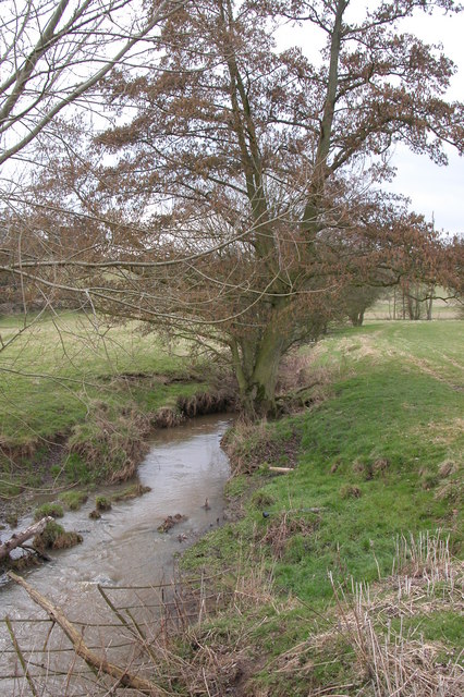
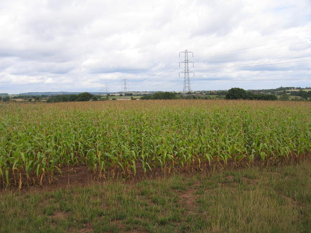
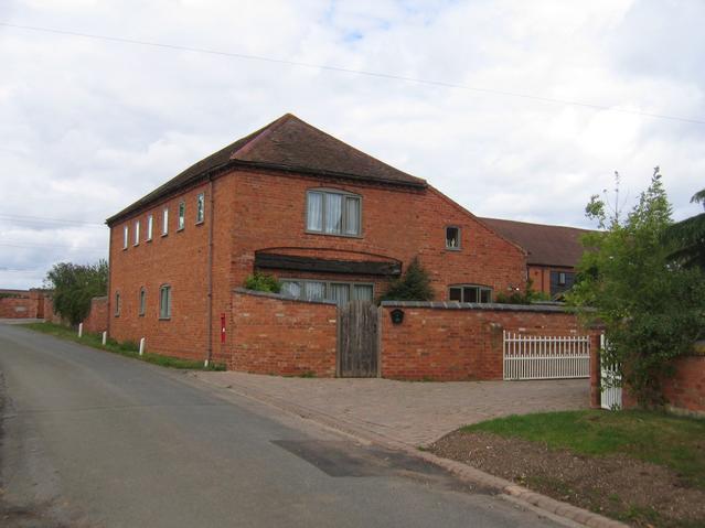
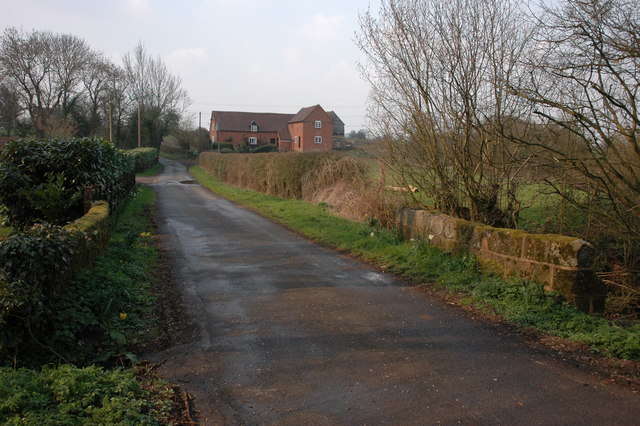
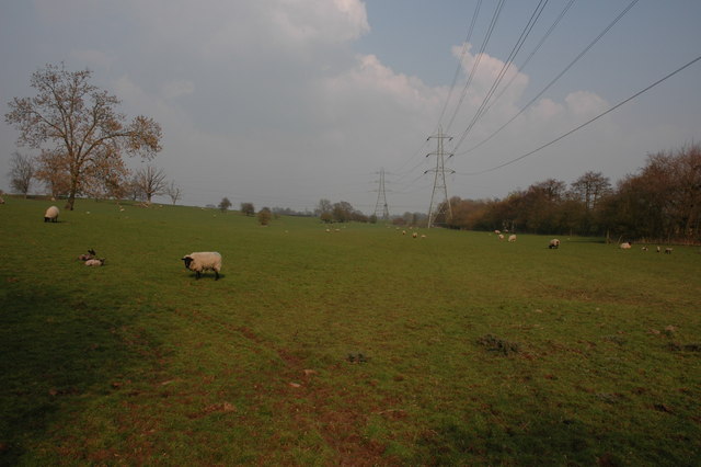
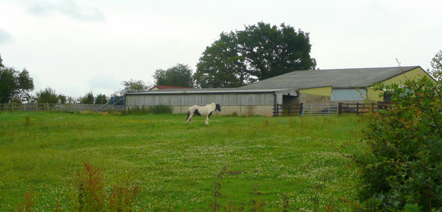
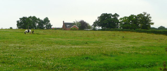
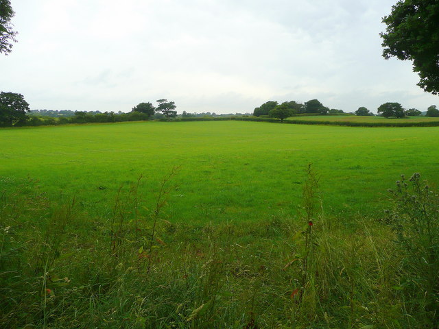
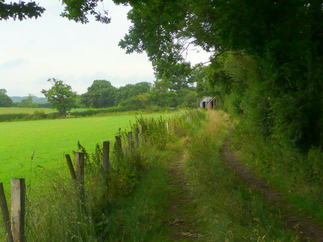
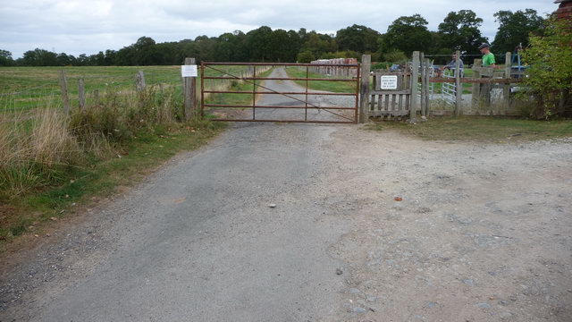
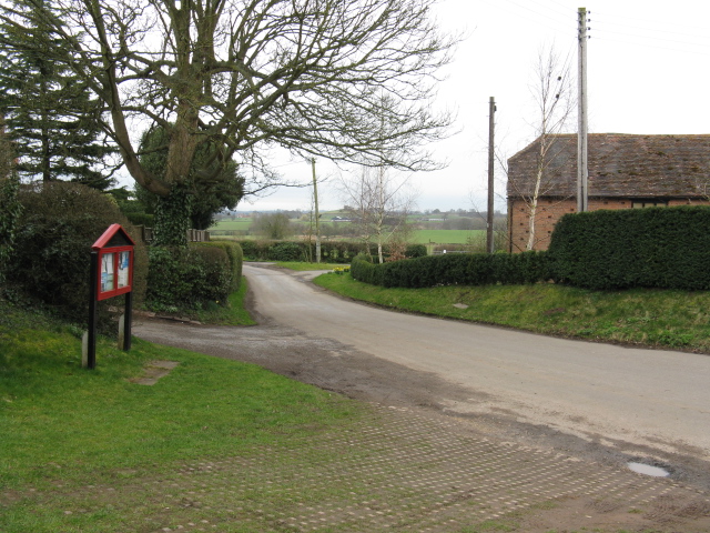
Cooksey Green is a small village located in the county of Worcestershire, England. Situated near the town of Bromsgrove, it is a peaceful and picturesque area surrounded by beautiful countryside. The village is characterized by its rural setting, with rolling hills, open fields, and a tranquil atmosphere.
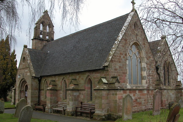
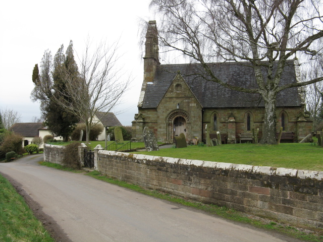
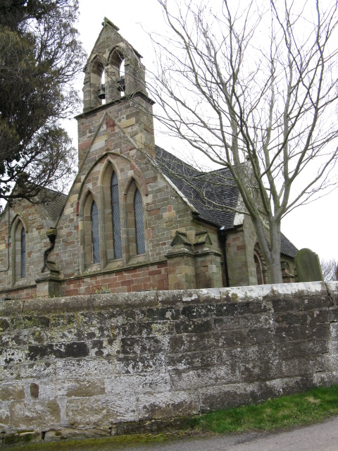
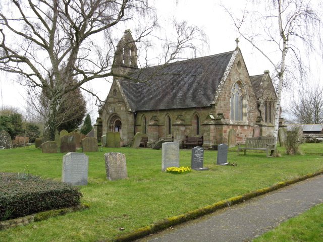
The village itself is relatively small, consisting of a handful of houses and a charming 16th-century church, St. Peter's Church. This historic building adds to the village's character and serves as a focal point for community events and religious gatherings.
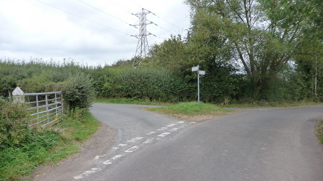
Despite its small size, Cooksey Green benefits from its close proximity to the nearby town of Bromsgrove, which provides residents with access to a range of amenities and services. This includes schools, medical facilities, shops, and leisure activities. The village is well-connected to the surrounding areas via road networks, allowing for easy commuting and travel.
The area is also known for its natural beauty, with numerous walking and cycling routes available for outdoor enthusiasts. Cooksey Green offers an idyllic setting for those seeking a peaceful and rural lifestyle, away from the hustle and bustle of city life.
Overall, Cooksey Green is a charming and quaint village in Worcestershire, offering a close-knit community, stunning landscapes, and a peaceful way of life.
If you have any feedback on the listing, please let us know in the comments section below.
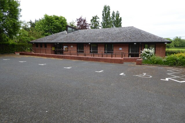
Cooksey Green Images
Images are sourced within 2km of 52.323934/-2.13789 or Grid Reference SO9069. Thanks to Geograph Open Source API. All images are credited.

Cooksey Green is located at Grid Ref: SO9069 (Lat: 52.323934, Lng: -2.13789)
Administrative County: Worcestershire
District: Wychavon
Police Authority: West Mercia
What 3 Words
///eternally.downhill.toys. Near Wychbold, Worcestershire
Nearby Locations
Related Wikis
Badge Court
Badge Court is an estate in Worcestershire, England. Originally known as Batchcott, the home's most famous occupant was Helena Wintour, daughter of Gunpowder...

Elmbridge, Worcestershire
Elmbridge is a small community, mainly clustered in a village and forms a civil parish in Worcestershire, England. == Geography == It occupies the top...

Rushock
Rushock is a village and civil parish in the Wyre Forest District of Worcestershire, England. At the 2001 census it had a population of 138. The grave...

Upton Warren
Upton Warren is a village and civil parish in the Wychavon district, in Worcestershire, England. The village is situated just off the A38 road between...

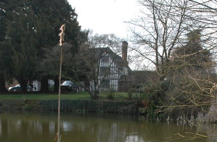
Grafton Manor
Grafton Manor (13 miles north-east of Worcester and 2 1/2 miles south-west of Bromsgrove, Worcestershire) was established before the Norman Conquest....

Elmley Lovett
Elmley Lovett in Worcestershire, England is a civil parish whose residents' homes are quite loosely clustered east of its Hartlebury Trading Estate, as...
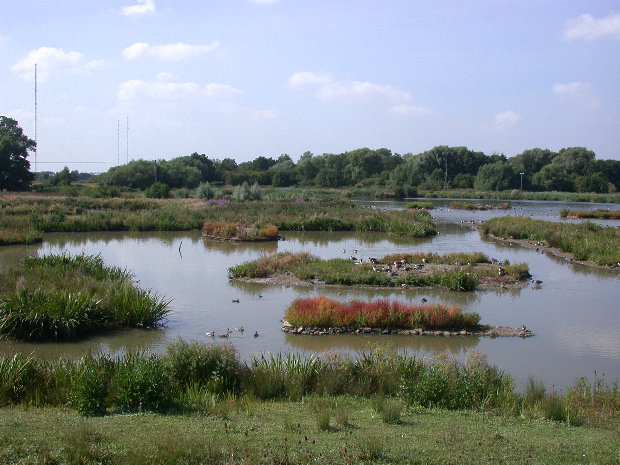
Christopher Cadbury Wetland Reserve
The Christopher Cadbury Wetland Reserve is a nature reserve of the Worcestershire Wildlife Trust. It is situated near Upton Warren, between Bromsgrove...

Droitwich Transmitting Station
The Droitwich transmitting station is a large broadcasting facility for long-wave and medium-wave transmissions, established in 1934 in the civil parish...
Nearby Amenities
Located within 500m of 52.323934,-2.13789Have you been to Cooksey Green?
Leave your review of Cooksey Green below (or comments, questions and feedback).