Kidsnape Wood

Wood, Forest in Lancashire Preston

England

Kidsnape Wood

Loud Bridge Road Heading away from Stoney Lane
Loud Bridge Road Credit: Chris Heaton

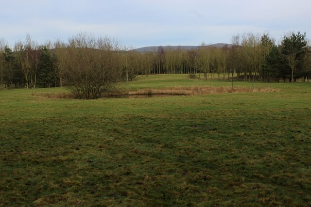
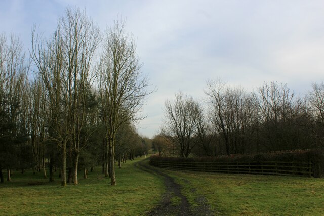
Kidsnape Wood is a stunning woodland located in Lancashire, England. Spanning over an area of approximately 100 acres, this enchanting forest is a popular destination for nature lovers, outdoor enthusiasts, and families seeking a peaceful retreat.

The wood boasts an impressive variety of tree species, including oak, beech, birch, and Scots pine, creating a diverse and vibrant ecosystem. The dense canopy allows only dappled sunlight to penetrate, casting a magical ambiance throughout the woodland. The forest floor is carpeted with a rich assortment of wildflowers, ferns, and mosses, adding to its natural beauty.

Several walking paths and trails wind their way through Kidsnape Wood, offering visitors the opportunity to explore its hidden gems. These paths are well-maintained and suitable for all ages and abilities, making it an ideal location for a leisurely stroll or a vigorous hike. Along the trails, visitors may encounter various wildlife, such as squirrels, rabbits, and a wide array of bird species.

The wood is also home to a small stream, meandering its way through the trees, contributing to a tranquil atmosphere. The sound of water trickling over rocks adds a soothing element to the experience, making Kidsnape Wood a perfect place for picnics, meditation, or simply enjoying the serenity of nature.

Overall, Kidsnape Wood in Lancashire offers a picturesque escape from the hustle and bustle of everyday life. Its natural beauty, diverse flora and fauna, and peaceful ambiance make it an enticing destination for those seeking a connection with nature.

If you have any feedback on the listing, please let us know in the comments section below.

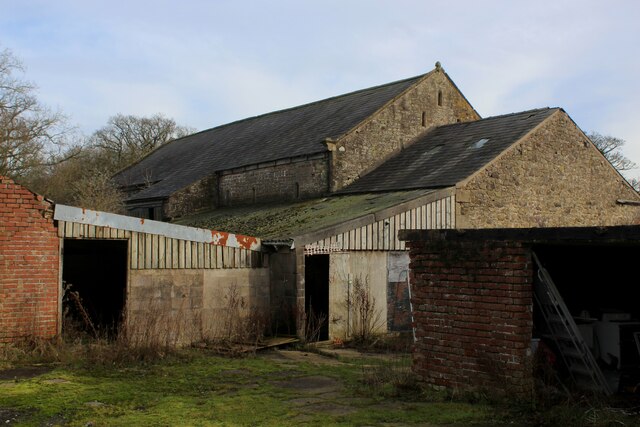
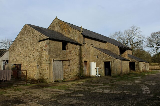
Kidsnape Wood Images

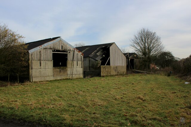
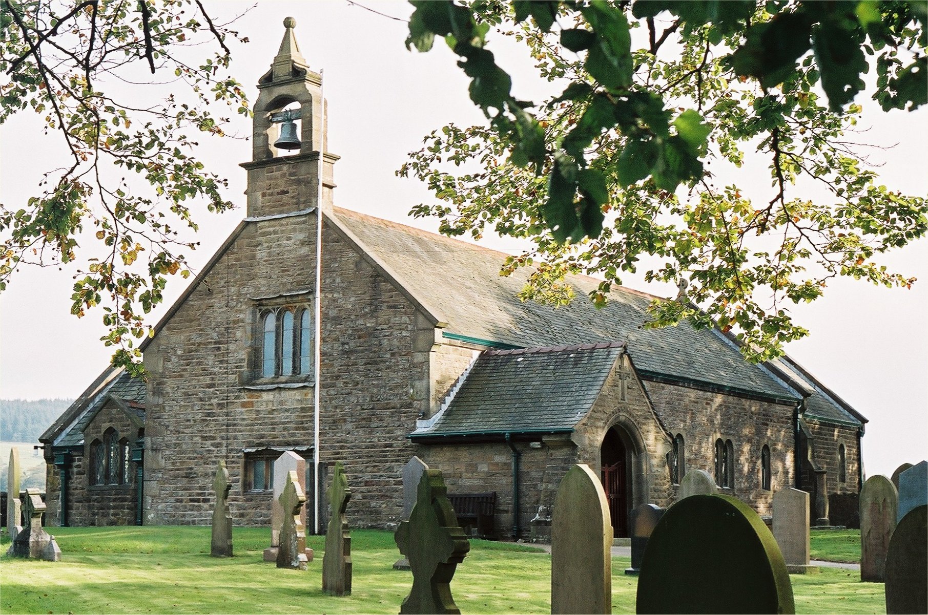
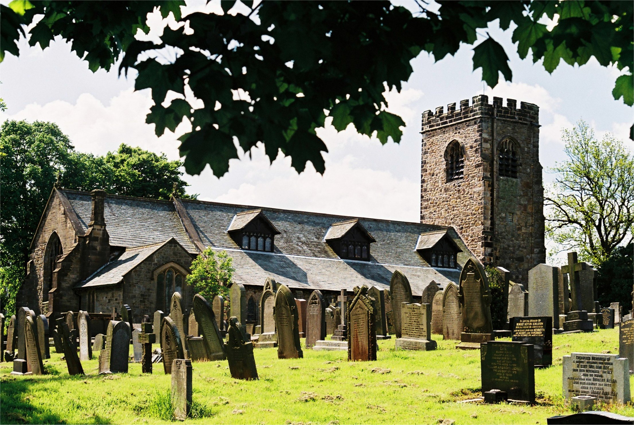
Images are sourced within 2km of 53.84786/-2.6416124 or Grid Reference SD5739. Thanks to Geograph Open Source API. All images are credited.

Loud Bridge Road Heading away from Stoney Lane
Loud Bridge Road
Heading away from Stoney Lane
Pasture off Stoney Lane
Approaching Barns Lane Bottom On Stoney Lane
Approaching Barns Lane Bottom
On Stoney Lane
Public Footpath heading North towards Barns Fold Farm The grass track follows the hedgerow towards Stoney Lane
Public Footpath heading North towards Barns Fold Farm
The grass track follows the hedgerow towards Stoney Lane
Bullsnape Hall Grade II Listed Building, which looks to have been recently spruced up.
The occupants, however, must endure the sight of an odd walker crossing the lawn around the side of the hall as a right of way exists on the property.
<a href="https://www.geograph.org.uk/photo/2843150">SD5740 : Bullsnape Hall</a>
Bullsnape Hall
Grade II Listed Building, which looks to have been recently spruced up. The occupants, however, must endure the sight of an odd walker crossing the lawn around the side of the hall as a right of way exists on the property. SD5740 : Bullsnape Hall
Approaching Bullsnape Hall from the South
Hill House Residence on Back Lane
Hill House
Residence on Back Lane
Approaching Hill House
View towards Beacon Fell As seen from Syke House Lane
View towards Beacon Fell
As seen from Syke House Lane
Outbuildings at Whinnyclough A public footpath wends its way through an array of farm outbuildings, many of which appear abandoned or boarded up.
The golf course next door has also been abandoned, and given over to sheep pasture at present
Outbuildings at Whinnyclough
A public footpath wends its way through an array of farm outbuildings, many of which appear abandoned or boarded up. The golf course next door has also been abandoned, and given over to sheep pasture at present
Long Barn at Whinnyclough The date of 1639 appears upon a door lintel on this building, although I cannot believe the entire structure dates from that time.
Most of the outbuildings appear abandoned, hereabouts, although this barn still seems to be active.
Long Barn at Whinnyclough
The date of 1639 appears upon a door lintel on this building, although I cannot believe the entire structure dates from that time. Most of the outbuildings appear abandoned, hereabouts, although this barn still seems to be active.
Fairway on the Abandoned Goosnargh Golf Course No longer the sound of drivers and irons striking a hard white ball. The course is now closed and abandoned, given over temporarily to sheep pasture.
There are rumoured to be plans to turn the whole complex into a holiday village with all the amenities.
<a href="https://www.geograph.org.uk/photo/113184">SD5639 : Goosnargh Golf Course</a>
Fairway on the Abandoned Goosnargh Golf Course
No longer the sound of drivers and irons striking a hard white ball. The course is now closed and abandoned, given over temporarily to sheep pasture. There are rumoured to be plans to turn the whole complex into a holiday village with all the amenities. SD5639 : Goosnargh Golf Course
Track on the Southern Boundary of Goosnargh Golf Course The track is heading for Whinnyclough - this section of the edge of the now abandoned Goosnargh Golf Course
Track on the Southern Boundary of Goosnargh Golf Course
The track is heading for Whinnyclough - this section of the edge of the now abandoned Goosnargh Golf Course
Abandoned Outbuildings on the Edge of Goosnargh Golf Course An air of neglect permeate the surroundings. The golf course abandoned to sheep, if temporarily. Many of the outbuildings at nearby Whinnyclough are also falling into dereliction and disrepair
Abandoned Outbuildings on the Edge of Goosnargh Golf Course
An air of neglect permeate the surroundings. The golf course abandoned to sheep, if temporarily. Many of the outbuildings at nearby Whinnyclough are also falling into dereliction and disrepair
Looking towards Willowdene Looking north towards the red brick dwelling of Willowdene on Inglewhite Road
Looking towards Willowdene
Looking north towards the red brick dwelling of Willowdene on Inglewhite Road
Back Lane to Whitechapel
Crossroads on Back Lane Horns Lane runs left with Stoney Lane to the right.
Crossroads on Back Lane
Horns Lane runs left with Stoney Lane to the right.
Horns Lane passes Moss Side Barn
Show me another place!

Kidsnape Wood is located at Grid Ref: SD5739 (Lat: 53.84786, Lng: -2.6416124)

Administrative County: Lancashire

District: Preston

Police Authority: Lancashire

What 3 Words

///rested.remotes.screeches. Near Longridge, Lancashire

Related Wikis

Ye Horns Inn

Ye Horns Inn is a restaurant and public house at Horns Lane in Goosnargh parish near Preston, Lancashire, England.Located near the Forest of Bowland, Ye...

Longridge Town F.C.

Longridge Town Football Club is a football club based in Longridge, Lancashire, England. Nicknamed the Ridge, they are currently members of the North West...

Whitechapel, Lancashire

Whitechapel is a tiny hamlet in the civil parish of Goosnargh in Lancashire, England. It lies on the border of the Forest of Bowland near the foot of Beacon...

St Mary's Church, Goosnargh

The Church of St Mary the Virgin is an Anglican church in Goosnargh, a village north of Preston in Lancashire, England. The church dates from the Middle...

Nearby Amenities

Located within 500m of 53.84786,-2.6416124
Pub
Ye Horns Inn
Addr City: Preston
Addr Hamlet: Goosnargh
Addr Postcode: PR3 2FJ
Addr Street: Horns Lane
Lat/Long: 53.8470627/-2.647314
Post Box
Lat/Long: 53.8469201/-2.6466671
The data included in this document is from www.openstreetmap.org. The data is made available under ODbL.

Have you been to Kidsnape Wood?

Leave your review of Kidsnape Wood below (or comments, questions and feedback).