Bullsnape Wood
Wood, Forest in Lancashire Preston
England
Bullsnape Wood

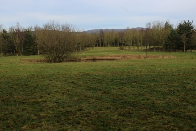
Bullsnape Wood is a picturesque woodland located in the county of Lancashire, England. Situated near the village of Knott End-on-Sea, this enchanting forest covers an area of approximately 50 acres. It is known for its rich biodiversity and captivating natural beauty, making it a popular destination for nature enthusiasts and hikers alike.
The wood is primarily composed of native broadleaf trees, such as oak, birch, and ash, which create a dense canopy that provides a habitat for a variety of flora and fauna. Bluebells and wild garlic carpet the forest floor in spring, creating a stunning spectacle of vibrant colors and fragrances. The wood is also home to a diverse range of wildlife, including deer, foxes, squirrels, and an assortment of bird species, making it an ideal spot for birdwatchers and animal lovers.
Tranquil walking trails wind their way through the wood, allowing visitors to explore the area at their own pace. These paths are well-maintained and offer stunning views of the surrounding countryside. Additionally, there are picnic areas scattered throughout the wood, providing the perfect opportunity for visitors to relax and enjoy a meal amidst nature's serene ambiance.
Bullsnape Wood is easily accessible, with ample parking available nearby. It is open to the public year-round, allowing visitors to experience the ever-changing beauty of the wood in different seasons. Whether it's the vibrant colors of autumn, the fresh greenery of summer, or the tranquility of a winter's day, Bullsnape Wood promises an immersive and rejuvenating experience for all who venture into its enchanting realm.
If you have any feedback on the listing, please let us know in the comments section below.
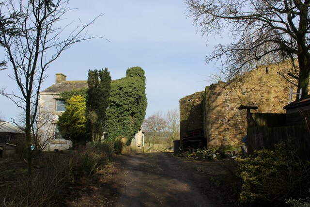
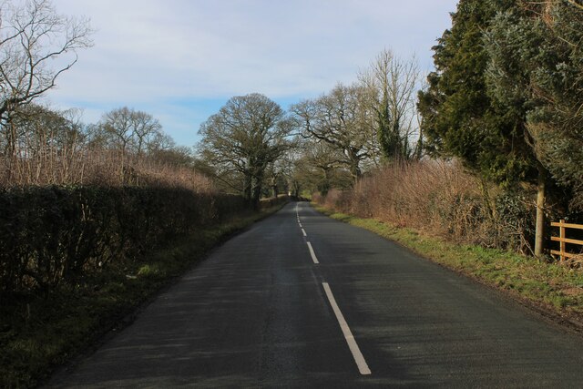
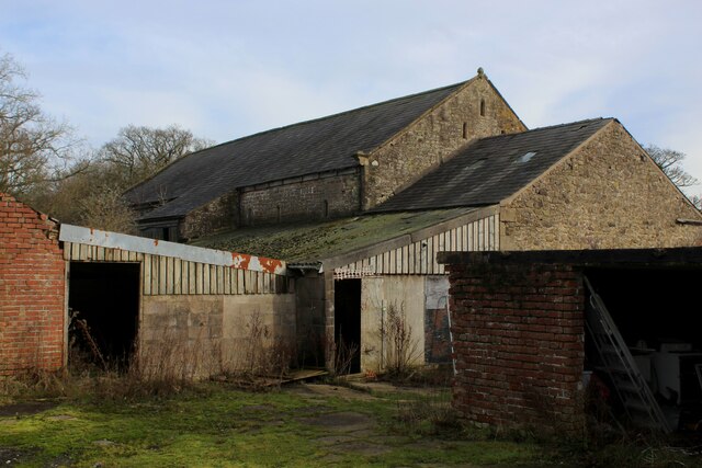
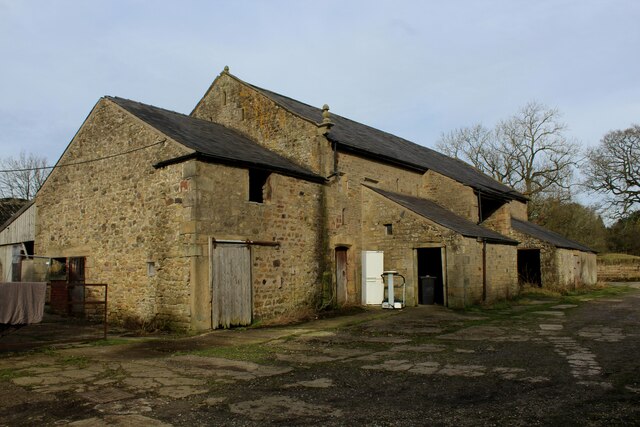
Bullsnape Wood Images
Images are sourced within 2km of 53.852749/-2.6499266 or Grid Reference SD5739. Thanks to Geograph Open Source API. All images are credited.


Bullsnape Wood is located at Grid Ref: SD5739 (Lat: 53.852749, Lng: -2.6499266)
Administrative County: Lancashire
District: Preston
Police Authority: Lancashire
What 3 Words
///oiled.lakeside.machine. Near Goosnargh, Lancashire
Nearby Locations
Related Wikis

Ye Horns Inn
Ye Horns Inn is a restaurant and public house at Horns Lane in Goosnargh parish near Preston, Lancashire, England.Located near the Forest of Bowland, Ye...
Whitechapel, Lancashire
Whitechapel is a tiny hamlet in the civil parish of Goosnargh in Lancashire, England. It lies on the border of the Forest of Bowland near the foot of Beacon...

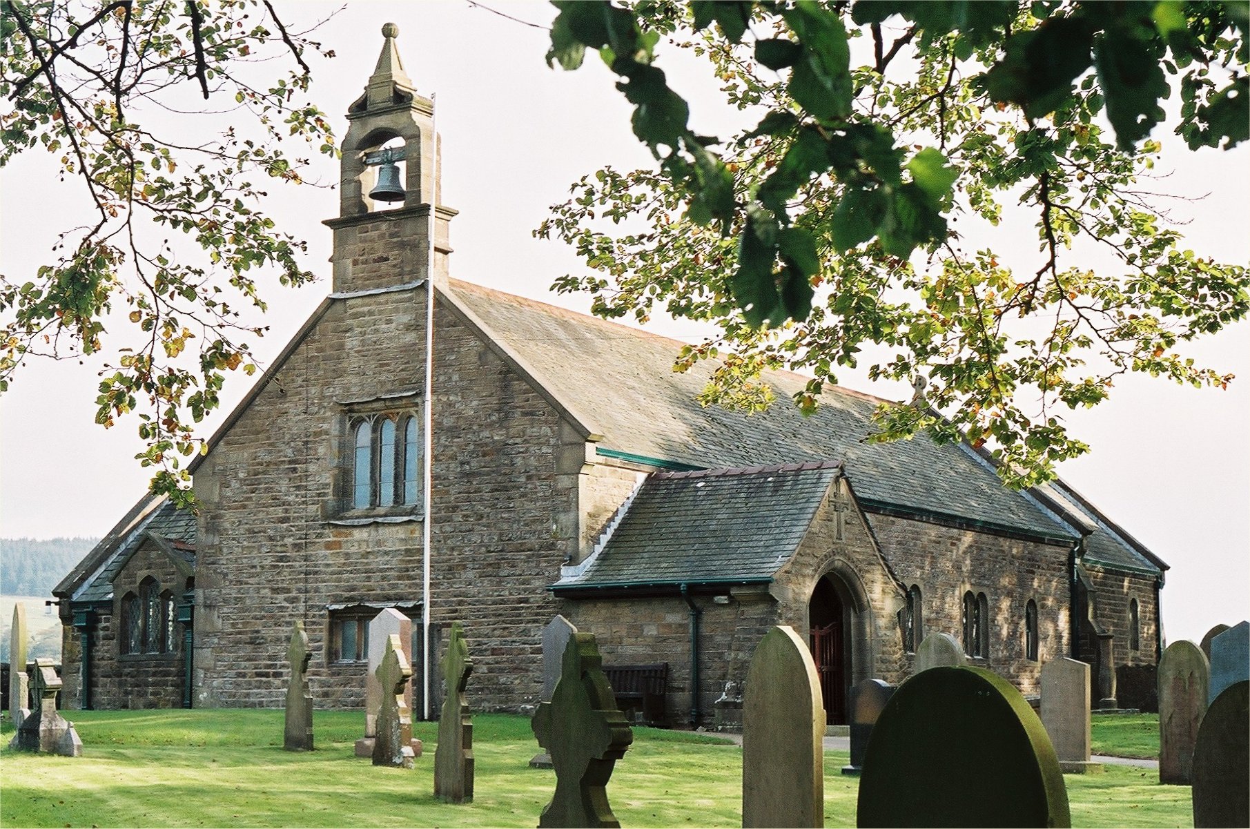
Inglewhite Congregational Church
Inglewhite Congregational Church is a church building located in the English village of Inglewhite, Lancashire. A Grade II listed building, it was constructed...
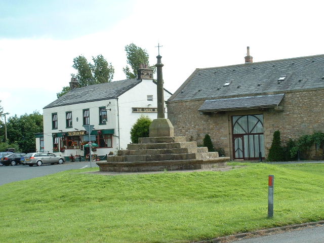
The Green Man at Inglewhite
The Green Man at Inglewhite is a public house in Inglewhite, Lancashire, England. The pub, which was established in 1809, has been owned since January...
Inglewhite
Inglewhite is a small village in the parish of Goosnargh in Lancashire, England. It lies at the intersection of the roads from Longridge to Garstang and...
Beacon Fell, Lancashire
Beacon Fell is a fell in the civil parish of Goosnargh in Lancashire, England. The high ground, which rises to 266 m (873 ft), has been a country park...

Longridge Town F.C.
Longridge Town Football Club is a football club based in Longridge, Lancashire, England. Nicknamed the Ridge, they are currently members of the North West...
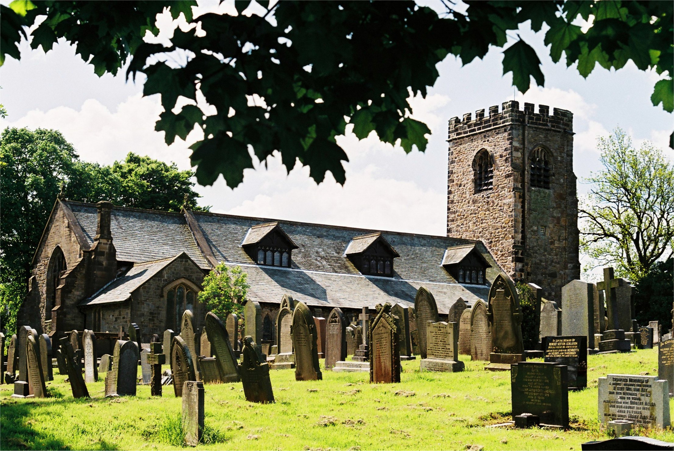
St Mary's Church, Goosnargh
The Church of St Mary the Virgin is an Anglican church in Goosnargh, a village north of Preston in Lancashire, England. The church dates from the Middle...
Have you been to Bullsnape Wood?
Leave your review of Bullsnape Wood below (or comments, questions and feedback).