Great Lambsquay Wood
Wood, Forest in Gloucestershire Forest of Dean
England
Great Lambsquay Wood
Great Lambsquay Wood is a picturesque forest located in the county of Gloucestershire, England. Covering an area of approximately 100 acres, this wood is a haven of natural beauty and tranquility. It is situated on the edge of the Cotswolds, offering stunning views of the surrounding countryside.
The wood is predominantly made up of broadleaf trees, including oak, beech, and ash, which provide a diverse and vibrant ecosystem. The dense canopy of the trees creates a cool and shaded environment, perfect for walking and exploring on hot summer days. The forest floor is covered with a rich carpet of ferns, bluebells, and wildflowers, creating a vibrant and colorful landscape.
Great Lambsquay Wood is home to a variety of wildlife, including deer, foxes, badgers, and a wide range of bird species. It is a popular spot for birdwatching, with species such as woodpeckers, owls, and buzzards frequently spotted amongst the treetops.
There are several walking trails that wind their way through the wood, allowing visitors to immerse themselves in the natural surroundings. These trails offer a chance to discover hidden glades, babbling brooks, and ancient ruins, adding a touch of mystery and history to the forest.
The wood is managed by a local conservation group, who work tirelessly to maintain its natural beauty and protect its wildlife. They organize regular guided walks and educational events, allowing visitors to learn more about the woodland and its inhabitants.
Overall, Great Lambsquay Wood is a stunning forest that offers a peaceful retreat from the hustle and bustle of everyday life. Its diverse flora and fauna, coupled with its scenic beauty, make it a must-visit destination for nature lovers and outdoor enthusiasts alike.
If you have any feedback on the listing, please let us know in the comments section below.
Great Lambsquay Wood Images
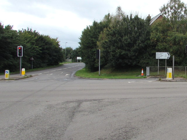
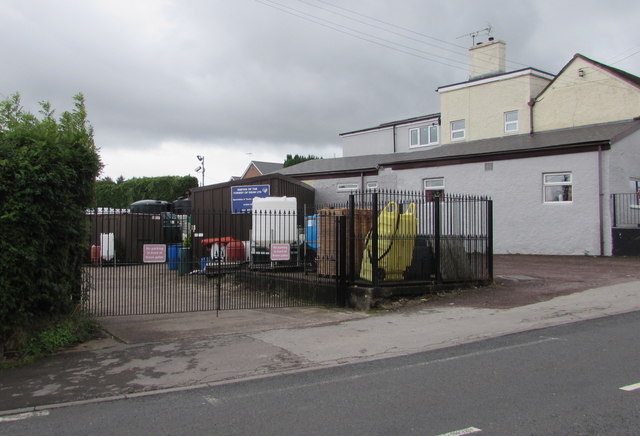
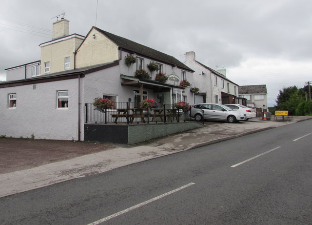
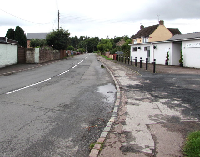
Images are sourced within 2km of 51.778483/-2.6141379 or Grid Reference SO5709. Thanks to Geograph Open Source API. All images are credited.


Great Lambsquay Wood is located at Grid Ref: SO5709 (Lat: 51.778483, Lng: -2.6141379)
Administrative County: Gloucestershire
District: Forest of Dean
Police Authority: Gloucestershire
What 3 Words
///shun.spellings.schematic. Near Coleford, Gloucestershire
Nearby Locations
Related Wikis

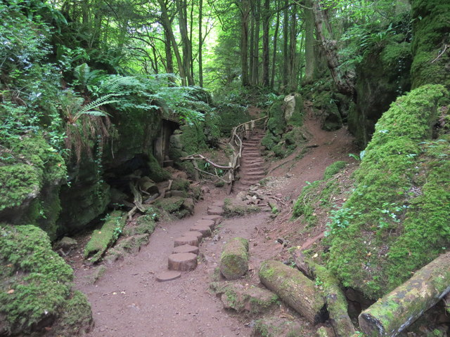
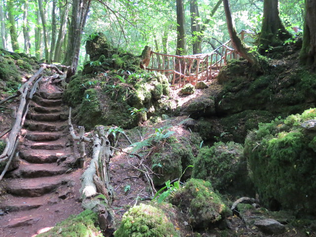
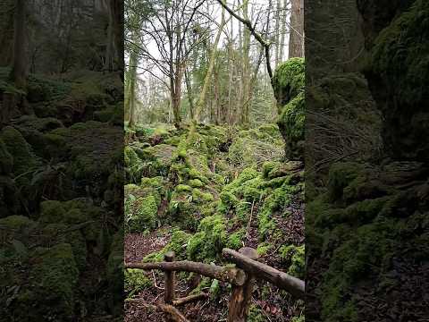
Puzzlewood
Puzzlewood (grid reference SO578092) is an ancient woodland site and tourist attraction, near Coleford in the Forest of Dean, Gloucestershire, England...

Old Bow and Old Ham Mines
Old Bow And Old Ham Mines (grid reference SO579088) is a 40.3-hectare (100-acre) biological Site of Special Scientific Interest in Gloucestershire, notified...

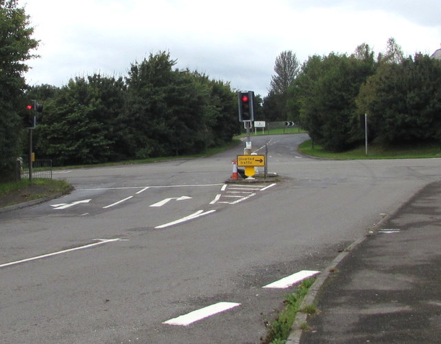
Perrygrove railway station
Perrygrove railway station is the home of the 15 in (381 mm) gauge Perrygrove Railway. The railway was opened in 1996 and is a heritage railway. There...
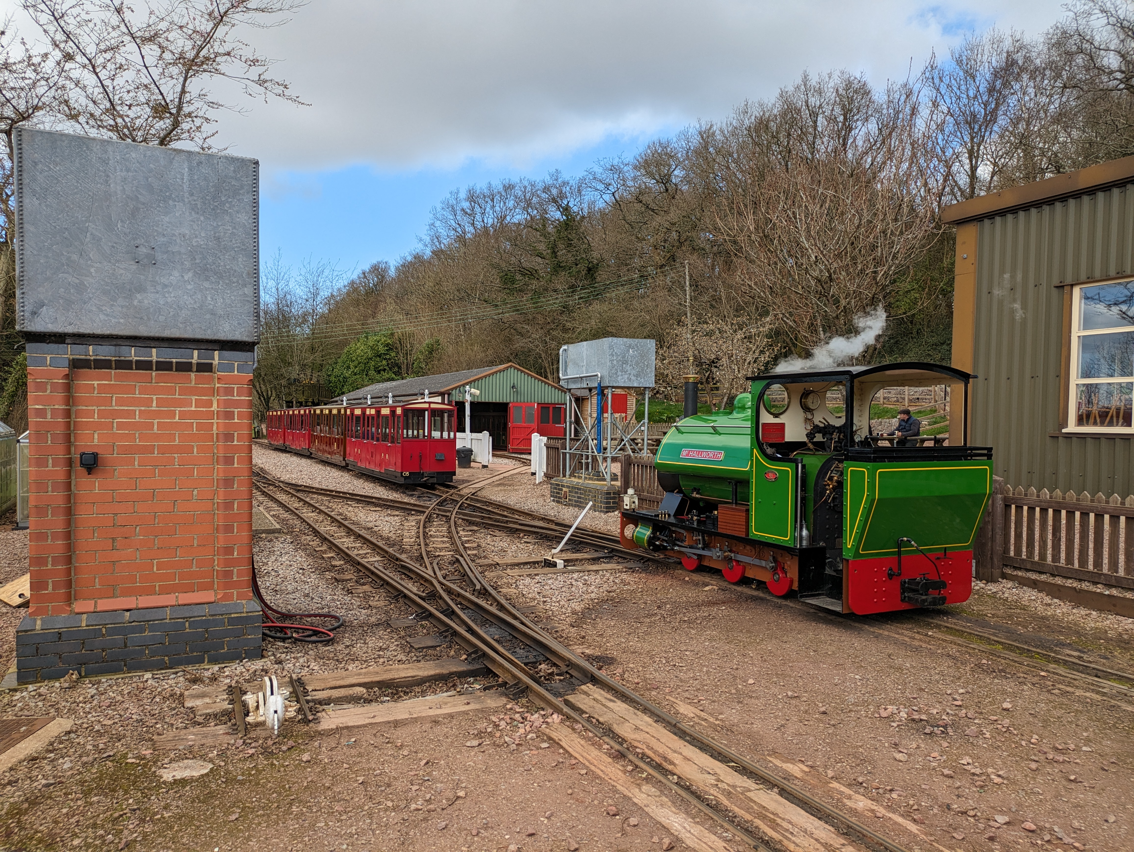
Perrygrove Railway
Perrygrove Railway is a minimum-gauge railway of 15 in (381 mm) gauge. It is located at Perrygrove Farm in the Forest of Dean, near Coleford, Gloucestershire...
Related Videos

Go get it! 😉
puzzlewoodfod #travel #europe #adventures #travelphotography #solotravel #goexplore #wonderfulplaces #travelbug ...

One of the oldest forest in UK that you must visit ! 🧚🌲 #outdoors #travel #adventures #puzzlewood
Puzzlewood is an ancient woodland located in the Forest of Dean, Gloucestershire, UK. It is renowned for its otherworldly and ...

Nearby Amenities
Located within 500m of 51.778483,-2.6141379Have you been to Great Lambsquay Wood?
Leave your review of Great Lambsquay Wood below (or comments, questions and feedback).