Breckness Court Wood

Wood, Forest in Gloucestershire Forest of Dean

England

Breckness Court Wood

B4228/Shophouse Road junction
B4228/Shophouse Road junction Credit: Colin Pyle

Breckness Court Wood is a captivating forest located in Gloucestershire, England. Spanning over a vast area, this woodland encompasses a diverse range of flora and fauna, creating an enchanting and serene environment for visitors to explore.

Covering approximately 200 acres, Breckness Court Wood is predominantly composed of deciduous trees, including oak, beech, and birch. The towering canopies of these majestic trees provide ample shade, casting dappled sunlight onto the forest floor. Bluebells, primroses, and wild garlic carpet the ground during spring, adding bursts of color and fragrance to the woodland.

The forest is crisscrossed by an extensive network of walking trails, allowing visitors to immerse themselves in the natural beauty of the area. These pathways wind through ancient woodland, revealing hidden clearings, babbling brooks, and moss-covered rocks along the way. The tranquil atmosphere and abundant wildlife make Breckness Court Wood a popular destination for hikers, nature enthusiasts, and photographers alike.

Within the forest, there is a designated conservation area that aims to protect and preserve the unique biodiversity of the region. This area is home to a variety of rare and endangered species, including the great crested newt and the lesser spotted woodpecker. Birdwatchers can spot a plethora of native and migratory birds, such as the Eurasian jay and the European robin.

Breckness Court Wood offers a peaceful retreat from the hustle and bustle of daily life, providing an opportunity to reconnect with nature and explore the wonders of Gloucestershire's woodlands.

If you have any feedback on the listing, please let us know in the comments section below.

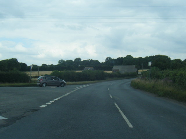
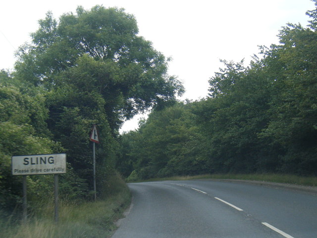
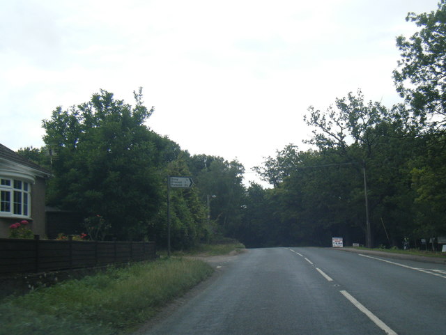
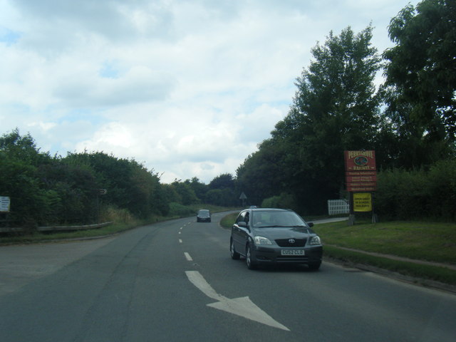
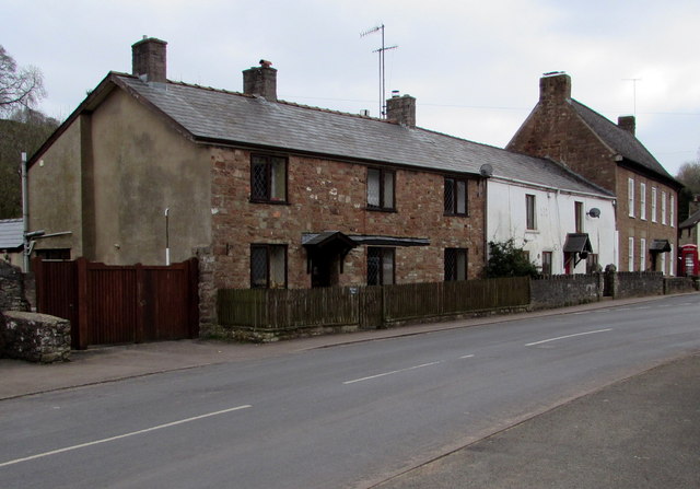
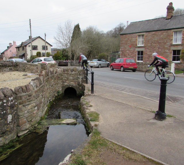
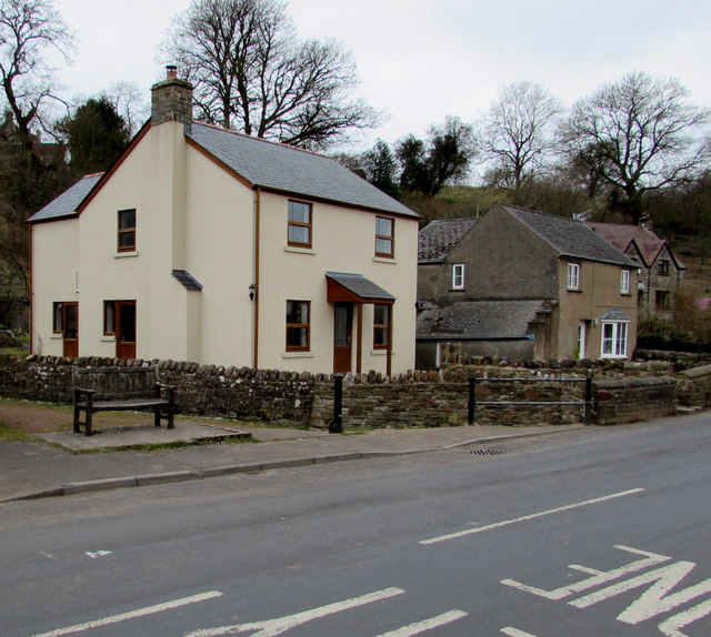
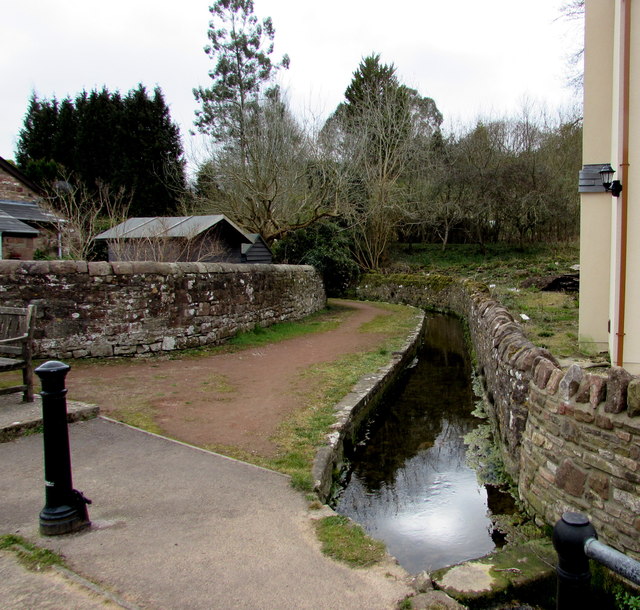
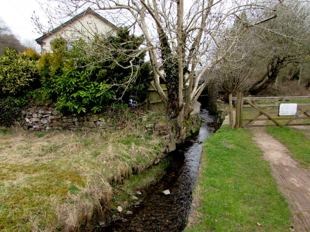
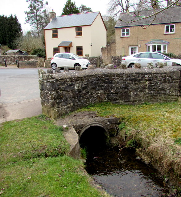
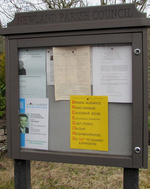
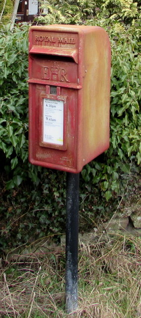
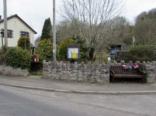
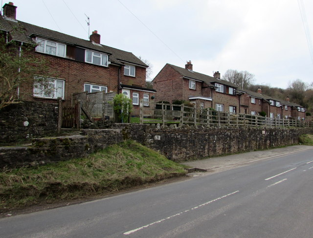
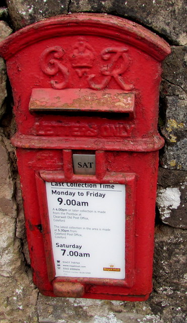
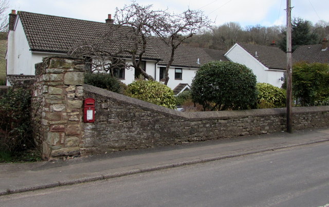
Breckness Court Wood Images

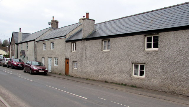
Images are sourced within 2km of 51.778394/-2.6207029 or Grid Reference SO5709. Thanks to Geograph Open Source API. All images are credited.

B4228/Shophouse Road junction
B4228 at Sling village boundary
B4228 at Oakwood Road junction
B4228 at Perrygrove
B4228 at Perrygrove
Towards the centre of Clearwell The red phonebox on the right is opposite this <a title="https://www.geograph.org.uk/photo/4400603" href="https://www.geograph.org.uk/photo/4400603">Link</a> medieval cross.
Towards the centre of Clearwell
The red phonebox on the right is opposite this Link medieval cross.
Cycling through Clearwell Two Sunday cyclists head away from the centre of the village.
Cycling through Clearwell
Two Sunday cyclists head away from the centre of the village.
Recently-built house in Clearwell Viewed in March 2015. The house on the left does not appear in a July 2009 Google Earth Street View.
Recently-built house in Clearwell
Viewed in March 2015. The house on the left does not appear in a July 2009 Google Earth Street View.
Valley Brook, Clearwell Here in an artificial channel past a wall.
Valley Brook, Clearwell
Here in an artificial channel past a wall.
Brook and gate, Clearwell Valley Brook at the edge of Brook Farm.
Brook and gate, Clearwell
Valley Brook at the edge of Brook Farm.
Valley Brook culvert, Clearwell The culvert is under the main road through the village.
Valley Brook culvert, Clearwell
The culvert is under the main road through the village.
Newland Parish Council noticeboard in Clearwell In March 2015, the yellow notice opposes a proposed Clearwell Quarry expansion by Breedons.
Newland Parish Council noticeboard in Clearwell
In March 2015, the yellow notice opposes a proposed Clearwell Quarry expansion by Breedons.
Queen Elizabeth II postbox in Clearwell Located here. <a title="https://www.geograph.org.uk/photo/4632978" href="https://www.geograph.org.uk/photo/4632978">Link</a>
Queen Elizabeth II postbox in Clearwell
Located here. Link
Postbox, noticeboard and bench in Clearwell On the north side of the main road through the village. The postbox is Elizabethan. <a title="https://www.geograph.org.uk/photo/4632977" href="https://www.geograph.org.uk/photo/4632977">Link</a>
Postbox, noticeboard and bench in Clearwell
On the north side of the main road through the village. The postbox is Elizabethan. Link
Wainland Place, Clearwell  Houses above the main road through the village.
Wainland Place, Clearwell
Houses above the main road through the village.
King George VI postbox in a Clearwell wall Located in the wall here. <a title="https://www.geograph.org.uk/photo/4632982" href="https://www.geograph.org.uk/photo/4632982">Link</a>
In March 2015, the notice shows that the last collection from this box 
is at 9am on Mondays to Fridays and as early as 7am on Saturday. 
In November 2008 <a title="https://www.geograph.org.uk/photo/1045700" href="https://www.geograph.org.uk/photo/1045700">Link</a> the times shown were 4.30pm and 9am. 
Royal Mail's idea of "service" has been to make collection times earlier
and earlier each day while deliveries of letters get later and later....
King George VI postbox in a Clearwell wall
Located in the wall here. Link In March 2015, the notice shows that the last collection from this box is at 9am on Mondays to Fridays and as early as 7am on Saturday. In November 2008 Link the times shown were 4.30pm and 9am. Royal Mail's idea of "service" has been to make collection times earlier and earlier each day while deliveries of letters get later and later....
King George VI postbox in Clearwell  <a title="https://www.geograph.org.uk/photo/4632981" href="https://www.geograph.org.uk/photo/4632981">Link</a> to a closer view.
King George VI postbox in Clearwell
Link to a closer view.
Grade II listed cottages in Clearwell Located near the corner of Pingry Lane and Stank Farm (ahead), the cottages 
probably date from the 16th century, later remodelled. Grade II listed in 1999.
Grade II listed cottages in Clearwell
Located near the corner of Pingry Lane and Stank Farm (ahead), the cottages probably date from the 16th century, later remodelled. Grade II listed in 1999.
Lambsquay Road, Clearwell Viewed from the entrance road to Clearwell Caves.
Lambsquay Road, Clearwell
Viewed from the entrance road to Clearwell Caves.
Show me another place!

Breckness Court Wood is located at Grid Ref: SO5709 (Lat: 51.778394, Lng: -2.6207029)

Administrative County: Gloucestershire

District: Forest of Dean

Police Authority: Gloucestershire

What 3 Words

///prance.hourglass.altitude. Near Coleford, Gloucestershire

Related Wikis

Puzzlewood

Puzzlewood (grid reference SO578092) is an ancient woodland site and tourist attraction, near Coleford in the Forest of Dean, Gloucestershire, England...

Old Bow and Old Ham Mines

Old Bow And Old Ham Mines (grid reference SO579088) is a 40.3-hectare (100-acre) biological Site of Special Scientific Interest in Gloucestershire, notified...
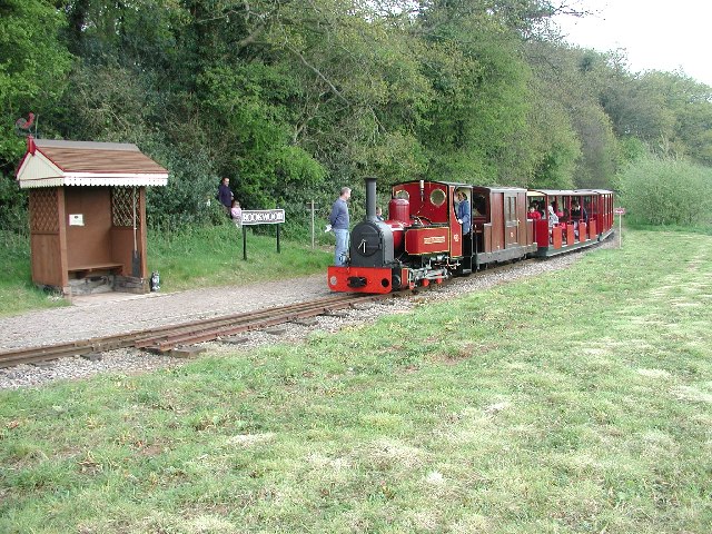
Perrygrove Railway

Perrygrove Railway is a minimum-gauge railway of 15 in (381 mm) gauge. It is located at Perrygrove Farm in the Forest of Dean, near Coleford, Gloucestershire...

Perrygrove railway station

Perrygrove railway station is the home of the 15 in (381 mm) gauge Perrygrove Railway. The railway was opened in 1996 and is a heritage railway. There...

Nearby Amenities

Located within 500m of 51.778394,-2.6207029
Bench
Lat/Long: 51.7795317/-2.6141887
Bench
Lat/Long: 51.7793556/-2.6143667
Bench
Lat/Long: 51.7787283/-2.615248
The data included in this document is from www.openstreetmap.org. The data is made available under ODbL.

Have you been to Breckness Court Wood?

Leave your review of Breckness Court Wood below (or comments, questions and feedback).