Court Wood

Wood, Forest in Gloucestershire Forest of Dean

England

Court Wood

River Wye viewed from Symonds Yat Rock The River Wye (Welsh: Afon Gwy) is the fifth-longest river in the UK, stretching some 215 kilometres from its source on Plynlimon in mid Wales to the Severn estuary. For much of its length the river forms part of the border between England and Wales. The Wye Valley (lower part) is an Area of Outstanding Natural Beauty. The Wye is important for nature conservation and recreation.
River Wye viewed from Symonds Yat Rock Credit: Mat Fascione

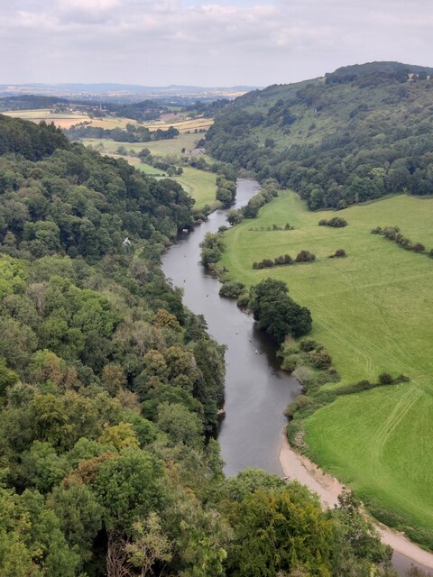
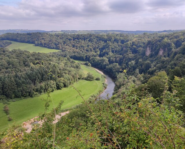
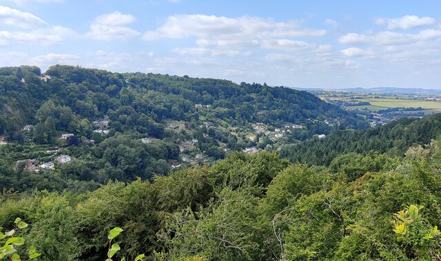
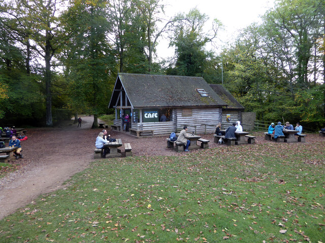
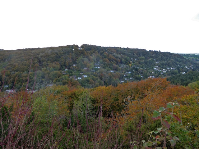
Court Wood is a picturesque woodland located in the county of Gloucestershire, England. Nestled in the heart of the Forest of Dean, this enchanting woodland covers an area of approximately 100 acres. It is a popular destination for nature enthusiasts, hikers, and birdwatchers alike.

The woodland is characterized by its dense canopy of mature trees, predominantly consisting of oak, beech, and ash. These towering trees provide a serene and tranquil atmosphere, offering a welcome escape from the hustle and bustle of everyday life. The forest floor is adorned with a carpet of vibrant wildflowers, creating a stunning display during the spring and summer months.

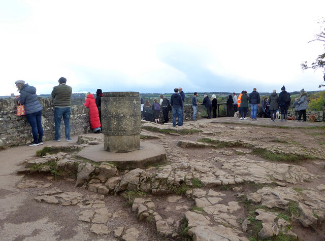
Court Wood is home to a diverse range of wildlife, making it a haven for nature lovers. Visitors may catch glimpses of deer, foxes, badgers, and a variety of bird species, including woodpeckers and owls. The tranquil atmosphere and abundance of wildlife make Court Wood an ideal spot for birdwatching and photography enthusiasts.

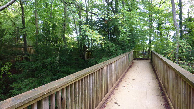
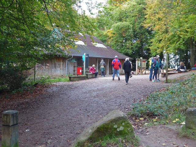
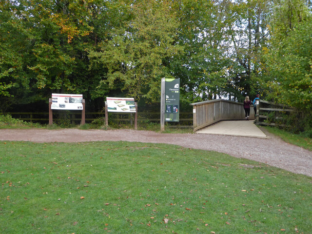
The woodland offers a network of well-maintained trails, allowing visitors to explore its beauty at their own pace. These paths wind through the forest, offering breathtaking views of the surrounding countryside. Additionally, the wood is intersected by a small stream, adding to its natural charm.

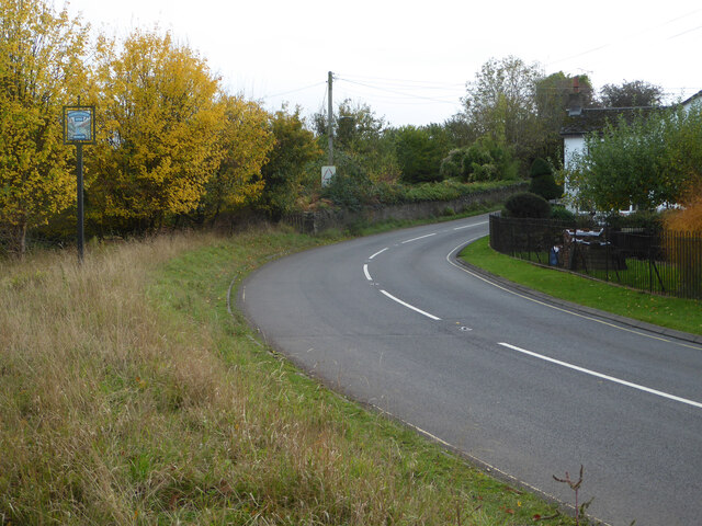
Court Wood is easily accessible, with ample parking facilities available nearby. Visitors can enjoy a peaceful day out in nature, immersing themselves in the beauty of the Forest of Dean and all that Court Wood has to offer.

If you have any feedback on the listing, please let us know in the comments section below.

Court Wood Images

Images are sourced within 2km of 51.839648/-2.6194987 or Grid Reference SO5715. Thanks to Geograph Open Source API. All images are credited.

River Wye viewed from Symonds Yat Rock The River Wye (Welsh: Afon Gwy) is the fifth-longest river in the UK, stretching some 215 kilometres from its source on Plynlimon in mid Wales to the Severn estuary. For much of its length the river forms part of the border between England and Wales. The Wye Valley (lower part) is an Area of Outstanding Natural Beauty. The Wye is important for nature conservation and recreation.
River Wye viewed from Symonds Yat Rock
The River Wye (Welsh: Afon Gwy) is the fifth-longest river in the UK, stretching some 215 kilometres from its source on Plynlimon in mid Wales to the Severn estuary. For much of its length the river forms part of the border between England and Wales. The Wye Valley (lower part) is an Area of Outstanding Natural Beauty. The Wye is important for nature conservation and recreation.
Symonds Yat West viewed from Symonds Yat Rock
Footbridge Near Symonds Yat Rock Viewpoint
Wye Valley from Symonds Yat Rock
Symonds Yat Rock viewpoint A toposcope is in the foreground.
Symonds Yat Rock viewpoint
A toposcope is in the foreground.
The River Wye from Symonds Yat Rock
Symonds Yat Rock Cafe
View from Symonds Yat Rock
The Old Post Office, Symonds Yat (East)
Toilets at Symonds Yat Rock car park
Road at Symonds Yat Rock The sign on the left proclaims Symonds Yat Rock with a representation of the view over the River Wye.
Road at Symonds Yat Rock
The sign on the left proclaims Symonds Yat Rock with a representation of the view over the River Wye.
River Wye from the alternative viewpoint There are two viewpoints looking over the River Wye at Symonds Yat Rock and this is billed as the 'alternative viewpoint'. Although also spectacular there are fewer view directions than at the main viewpoint.
River Wye from the alternative viewpoint
There are two viewpoints looking over the River Wye at Symonds Yat Rock and this is billed as the 'alternative viewpoint'. Although also spectacular there are fewer view directions than at the main viewpoint.
View from Symonds Yat Rock Over the River Wye below. The little dots in the fields are cattle. They could be heard lowing noisily.
View from Symonds Yat Rock
Over the River Wye below. The little dots in the fields are cattle. They could be heard lowing noisily.
Path to Symonds Yat Rock viewpoint At this point the path crosses a footbridge over the road
Path to Symonds Yat Rock viewpoint
At this point the path crosses a footbridge over the road
View at Hillersland
View at Hillersland
Santa Claus
Santa Claus
Show me another place!

Court Wood is located at Grid Ref: SO5715 (Lat: 51.839648, Lng: -2.6194987)

Administrative County: Gloucestershire

District: Forest of Dean

Police Authority: Gloucestershire

What 3 Words

///greeting.blinks.relishing. Near Whitchurch, Herefordshire

Nearby Locations

English Bicknor Court Wood

Related Wikis

English Bicknor

English Bicknor is a village and civil parish in the Forest of Dean district of west Gloucestershire, England. The 2011 Census recorded the population...

English Bicknor Castle

English Bicknor Castle was a castle in the village of English Bicknor in Gloucestershire, England. The castle was built in the 11th century as a motte...

Symonds Yat railway station

Symonds Yat railway station is a disused railway station on the Ross and Monmouth Railway constructed on the banks of the River Wye in Symonds Yat East...

Symonds Yat Rapids

Symonds Yat Rapids are a grade-2 man-made feature on the River Wye, near Symonds Yat on the Gloucestershire and Herefordshire border. They are most commonly...

Eastbach Court

Eastbach Court is a historic Grade II listed mansion in English Bicknor, Gloucestershire, England. == History == The house was built on a former messuage...

Brooks Head Grove

Brooks Head Grove (grid reference SO586145) is an 11.9-hectare (29-acre) biological Site of Special Scientific Interest in Gloucestershire, notified in...

Lydbrook Junction railway station

Lydbrook Junction railway station is a disused railway station in England opened by the Ross and Monmouth Railway in 1873, it remained open for 91 years...

Symonds Yat

Symonds Yat is a village in the Wye Valley and a popular tourist destination, straddling the River Wye in the English county of Herefordshire, close to...

Nearby Amenities

Located within 500m of 51.839648,-2.6194987
Barrier: swing_gate
Lat/Long: 51.8434035/-2.6220253
Ship Rock
Natural: rock
Source: OS_OpenData_StreetView
Lat/Long: 51.8378284/-2.6242767
Needle Rock
Natural: rock
Source: OS_OpenData_StreetView
Lat/Long: 51.8379516/-2.6215799
Barrier: kissing_gate
Ele: 139.275635
Lat/Long: 51.8393361/-2.6168539
Note: Blocked from here at time of visit by fallen trees
Lat/Long: 51.8367109/-2.6246289
Barrier: kissing_gate
Ele: 124.375366
Lat/Long: 51.8401812/-2.6143443
Barrier: kissing_gate
Ele: 132.065796
Lat/Long: 51.8401522/-2.6152832
Barrier: kissing_gate
Ele: 136.632080
Lat/Long: 51.8399136/-2.6160217
Barrier: stile
Source: survey
Lat/Long: 51.8366738/-2.6233593
Barrier: swing_gate
Lat/Long: 51.8400646/-2.6244265
Fixme: Need to re-survey to add more information. Commemorates boy who died in river.
Historic: memorial
Lat/Long: 51.8411359/-2.6239388
The data included in this document is from www.openstreetmap.org. The data is made available under ODbL.

Have you been to Court Wood?

Leave your review of Court Wood below (or comments, questions and feedback).