English Bicknor

Settlement in Gloucestershire Forest of Dean

England

English Bicknor

River Wye viewed from Symonds Yat Rock The River Wye (Welsh: Afon Gwy) is the fifth-longest river in the UK, stretching some 215 kilometres from its source on Plynlimon in mid Wales to the Severn estuary. For much of its length the river forms part of the border between England and Wales. The Wye Valley (lower part) is an Area of Outstanding Natural Beauty. The Wye is important for nature conservation and recreation.
River Wye viewed from Symonds Yat Rock Credit: Mat Fascione

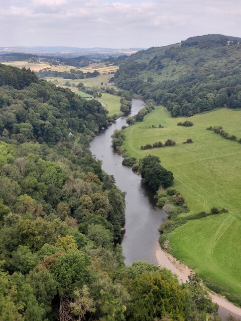
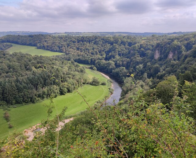
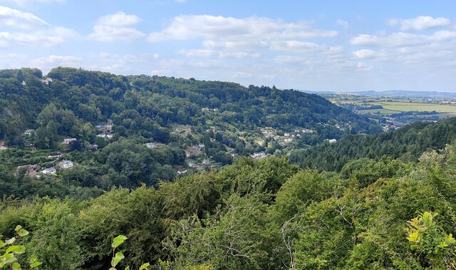
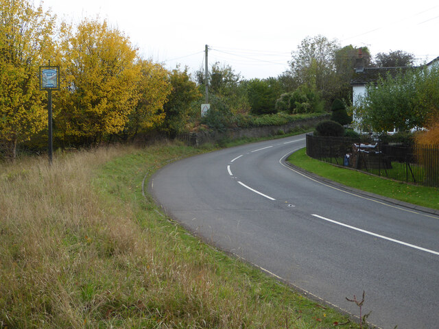
English Bicknor is a small village located in the Forest of Dean district of Gloucestershire, England. Situated on the western bank of the River Wye, it is nestled in a picturesque setting surrounded by lush countryside and dense woodland. The village lies approximately 5 miles southwest of the town of Coleford and is easily accessible via local roads.

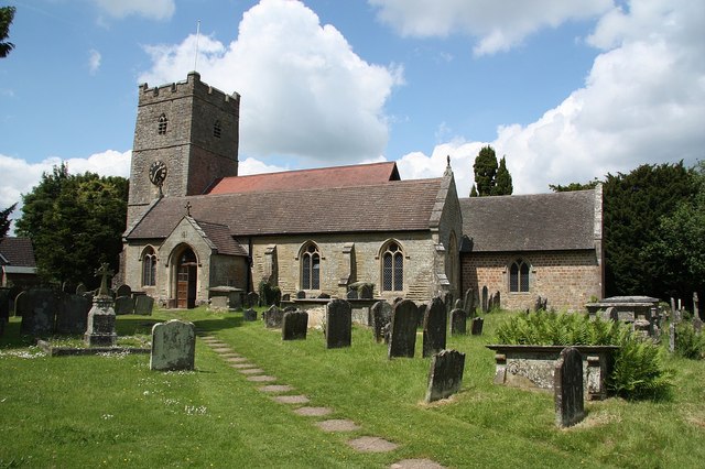
English Bicknor is known for its rich history, with evidence of human habitation dating back to the Roman era. The village is home to the remains of a medieval castle, Bicknor Court, which was built in the 12th century and served as a residence for several noble families throughout the centuries. Today, the ruins stand as a fascinating testament to the area's past, attracting history enthusiasts and visitors alike.

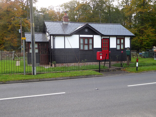
The village itself boasts a charming rural atmosphere, with traditional stone cottages lining its narrow streets. It is a close-knit community, with a small population of residents who take pride in maintaining the village's character and heritage.

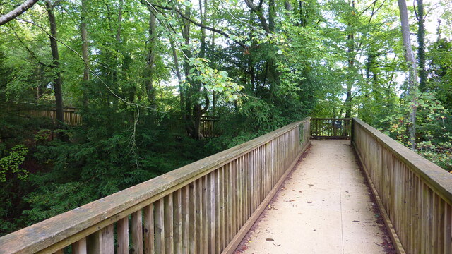
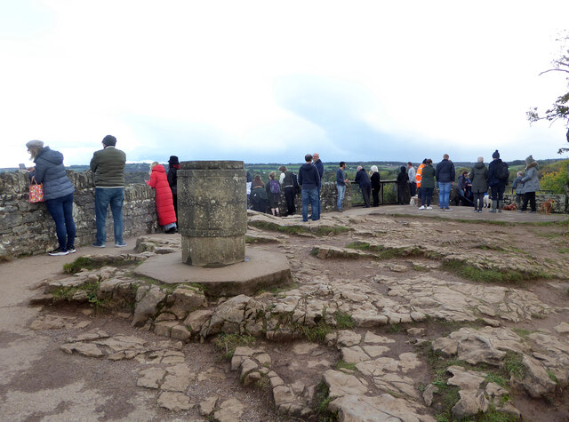
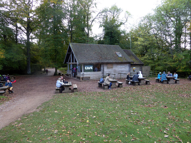
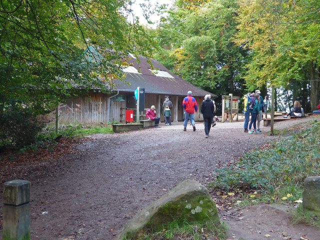
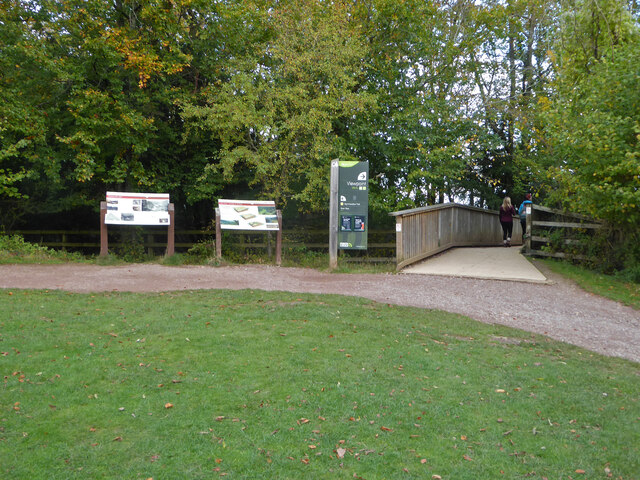
Surrounded by the natural beauty of the Forest of Dean, English Bicknor offers ample opportunities for outdoor activities. The area is known for its scenic walking trails, providing stunning views of the river and the surrounding woodlands. The nearby Wye Valley is also a popular spot for canoeing and kayaking, attracting water sports enthusiasts from far and wide.

In terms of amenities, English Bicknor has a community hall, providing a venue for local events and gatherings. However, for most everyday needs, residents typically rely on the nearby towns and villages in the region.

Overall, English Bicknor is a delightful village that combines a rich historical heritage with a tranquil rural setting, making it an idyllic destination for those seeking a peaceful retreat amidst the beauty of the Forest of Dean.

If you have any feedback on the listing, please let us know in the comments section below.

English Bicknor Images

Images are sourced within 2km of 51.833922/-2.611364 or Grid Reference SO5715. Thanks to Geograph Open Source API. All images are credited.

River Wye viewed from Symonds Yat Rock The River Wye (Welsh: Afon Gwy) is the fifth-longest river in the UK, stretching some 215 kilometres from its source on Plynlimon in mid Wales to the Severn estuary. For much of its length the river forms part of the border between England and Wales. The Wye Valley (lower part) is an Area of Outstanding Natural Beauty. The Wye is important for nature conservation and recreation.
River Wye viewed from Symonds Yat Rock
The River Wye (Welsh: Afon Gwy) is the fifth-longest river in the UK, stretching some 215 kilometres from its source on Plynlimon in mid Wales to the Severn estuary. For much of its length the river forms part of the border between England and Wales. The Wye Valley (lower part) is an Area of Outstanding Natural Beauty. The Wye is important for nature conservation and recreation.
Symonds Yat West viewed from Symonds Yat Rock
Footbridge Near Symonds Yat Rock Viewpoint
Wye Valley from Symonds Yat Rock
Symonds Yat Rock viewpoint A toposcope is in the foreground.
Symonds Yat Rock viewpoint
A toposcope is in the foreground.
The River Wye from Symonds Yat Rock
Symonds Yat Rock Cafe
The Old Post Office, Symonds Yat (East)
Toilets at Symonds Yat Rock car park
Road at Symonds Yat Rock The sign on the left proclaims Symonds Yat Rock with a representation of the view over the River Wye.
Road at Symonds Yat Rock
The sign on the left proclaims Symonds Yat Rock with a representation of the view over the River Wye.
River Wye from the alternative viewpoint There are two viewpoints looking over the River Wye at Symonds Yat Rock and this is billed as the 'alternative viewpoint'. Although also spectacular there are fewer view directions than at the main viewpoint.
River Wye from the alternative viewpoint
There are two viewpoints looking over the River Wye at Symonds Yat Rock and this is billed as the 'alternative viewpoint'. Although also spectacular there are fewer view directions than at the main viewpoint.
View from Symonds Yat Rock Over the River Wye below. The little dots in the fields are cattle. They could be heard lowing noisily.
View from Symonds Yat Rock
Over the River Wye below. The little dots in the fields are cattle. They could be heard lowing noisily.
Path to Symonds Yat Rock viewpoint At this point the path crosses a footbridge over the road
Path to Symonds Yat Rock viewpoint
At this point the path crosses a footbridge over the road
Forest clearing
Forest clearing
Ruined farm building
Path and gate
Path and gate
Show me another place!

English Bicknor is located at Grid Ref: SO5715 (Lat: 51.833922, Lng: -2.611364)

Administrative County: Gloucestershire

District: Forest of Dean

Police Authority: Gloucestershire

What 3 Words

///lipstick.dust.snowballs. Near Lydbrook, Gloucestershire

Nearby Locations

Court Wood English Bicknor

Related Wikis

English Bicknor

English Bicknor is a village and civil parish in the Forest of Dean district of west Gloucestershire, England. The 2011 Census recorded the population...

English Bicknor Castle

English Bicknor Castle was a castle in the village of English Bicknor in Gloucestershire, England. The castle was built in the 11th century as a motte...

Eastbach Court

Eastbach Court is a historic Grade II listed mansion in English Bicknor, Gloucestershire, England. == History == The house was built on a former messuage...

Brooks Head Grove

Brooks Head Grove (grid reference SO586145) is an 11.9-hectare (29-acre) biological Site of Special Scientific Interest in Gloucestershire, notified in...

Nearby Amenities

Located within 500m of 51.833922,-2.611364
Bus Stop
Larksfield
Bus: yes
Naptan AtcoCode: 1600GLA06429
Naptan Bearing: S
Naptan CommonName: Larksfield
Naptan Indicator: Opp
Naptan NaptanCode: glogptgw
Naptan Street: Ross Road
Naptan Verified: no
Public Transport: platform
Source: naptan_import
Lat/Long: 51.8361732/-2.6105893
Bus Stop
Smithy Close
Naptan AtcoCode: 1600GLF413
Naptan Bearing: S
Naptan CommonName: Smithy Close
Naptan Indicator: Opp
Naptan NaptanCode: gloadtpt
Naptan Street: Ross Rd
Naptan Verified: no
Source: naptan_import
Lat/Long: 51.8330664/-2.6111147
Bus Stop
Smithy Close
Naptan AtcoCode: 1600GLF414
Naptan Bearing: N
Naptan CommonName: Smithy Close
Naptan NaptanCode: gloadtpj
Naptan Street: Ross Rd
Naptan Verified: no
Source: naptan_import
Lat/Long: 51.8329926/-2.6113386
Source: os_opendata_streetview
Lat/Long: 51.8334671/-2.612107
Power: pole
Lat/Long: 51.8358023/-2.6102617
Power: pole
Lat/Long: 51.8360575/-2.6093819
Power: pole
Lat/Long: 51.837395/-2.6073568
Power: pole
Lat/Long: 51.836457/-2.6080113
Post Box
Post Box Type: lamp
Lat/Long: 51.8330386/-2.6111023
Man Made: village_sign
Lat/Long: 51.832899/-2.6113426
Public Bookcase
Booth: K6
Disused Amenity: telephone
Man Made: telephone_box
Public Bookcase Type: phone_box
Lat/Long: 51.8328394/-2.6114264
Bench
Lat/Long: 51.8329674/-2.6113433
Advertising: board
Lat/Long: 51.8330654/-2.6110989
Recycling
Recycling Type: centre
Lat/Long: 51.832598/-2.6113952
Defibrillator
Defibrillator Location: outside English Bicknor Village Hall - facing car park exit
Emergency: defibrillator
Indoor: no
Lat/Long: 51.8325168/-2.6114906
The data included in this document is from www.openstreetmap.org. The data is made available under ODbL.

Have you been to English Bicknor?

Leave your review of English Bicknor below (or comments, questions and feedback).