Arbirlot

Settlement in Angus

Scotland

Arbirlot

Balcathie and Grassy Field
Balcathie and Grassy Field Credit: Dominic Dawn Harry and Jacob Paterson

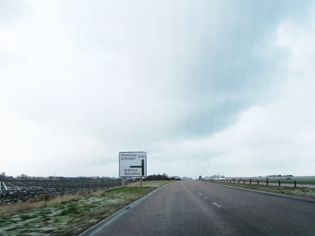
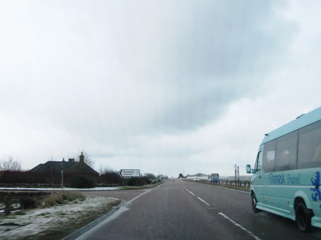
Arbirlot is a small village located in the Angus region of Scotland. Situated about 5 miles west of Arbroath, this rural community is nestled in the picturesque countryside, offering stunning views of the surrounding hills and farmland.

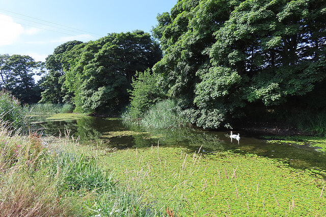
The village is known for its rich history, with evidence of human settlement dating back to prehistoric times. The name "Arbirlot" is derived from the Gaelic word "Aber-Luth," meaning "the mouth of the muddy burn." This refers to the nearby Arbirlot Burn, which flows through the village.

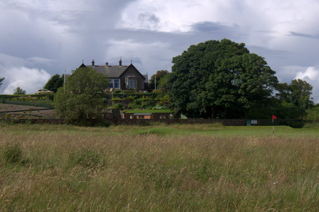
Arbirlot is home to a tight-knit community, with a population of around 500 residents. The village boasts a charming mix of traditional stone-built houses and more modern properties. The heart of Arbirlot is its historic church, which dates back to the 12th century. The church, dedicated to St. Ternan, is a notable landmark and a focal point for the community.

Despite its small size, Arbirlot has a strong sense of community spirit. The village hosts various events throughout the year, including summer fairs and festive celebrations. There are also local amenities such as a primary school, a village hall, and a pub, providing a hub for social gatherings.

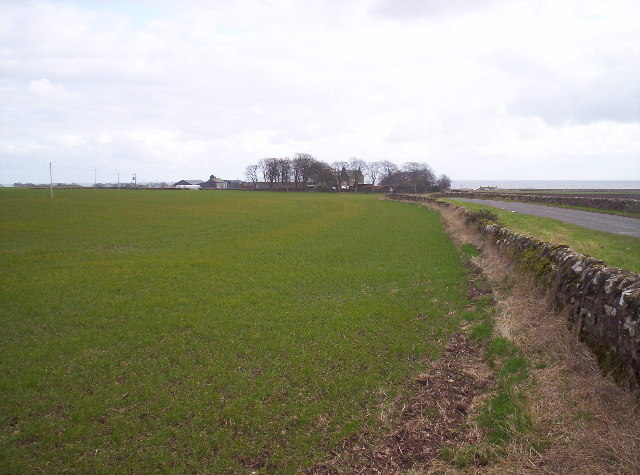
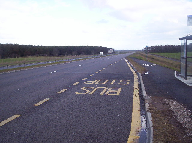
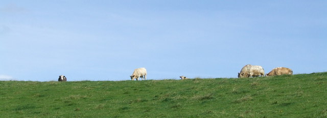
For outdoor enthusiasts, Arbirlot offers plenty of opportunities to explore the beautiful Angus countryside. The surrounding area is dotted with walking trails and cycling routes, allowing visitors to immerse themselves in the breathtaking scenery.

In conclusion, Arbirlot is a quaint village in Angus, Scotland, with a rich history, a close-knit community, and stunning natural surroundings. It is a place where residents and visitors alike can enjoy the beauty of rural Scotland and experience the warmth of a small village community.

If you have any feedback on the listing, please let us know in the comments section below.
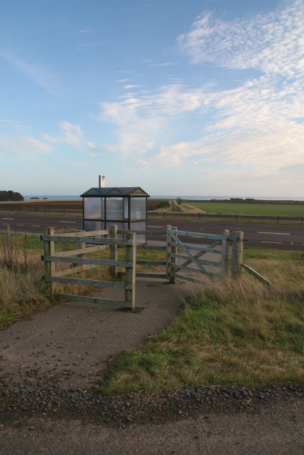
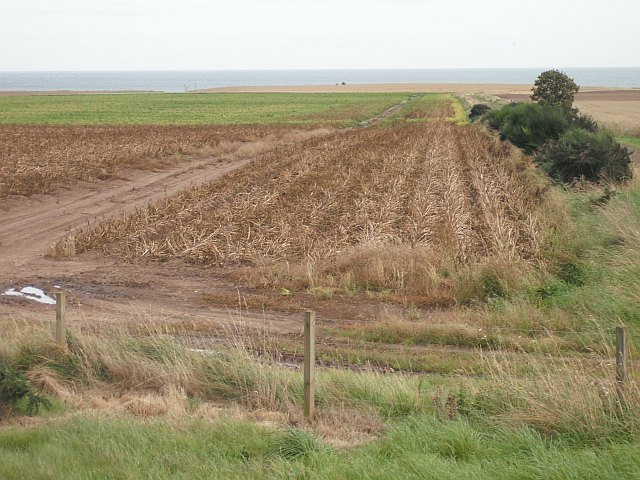
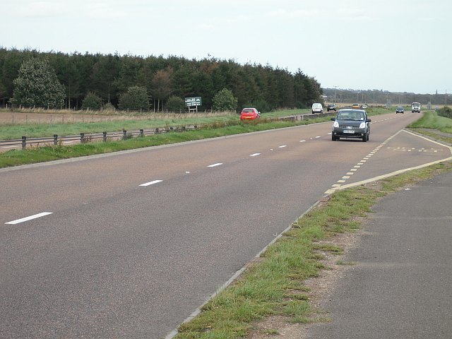
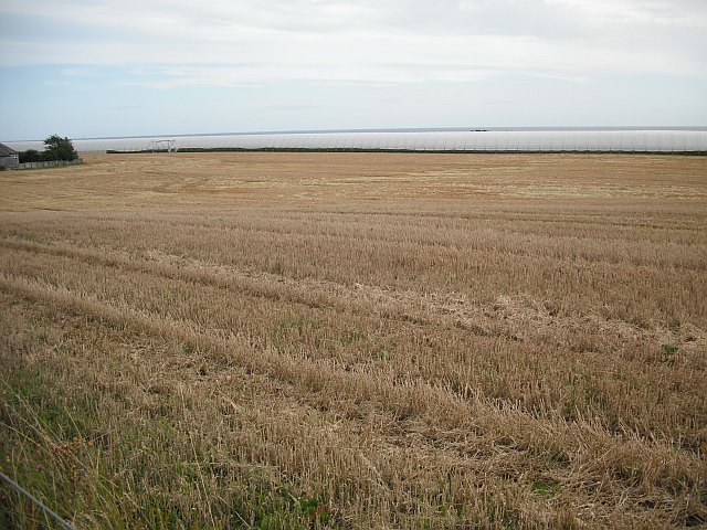
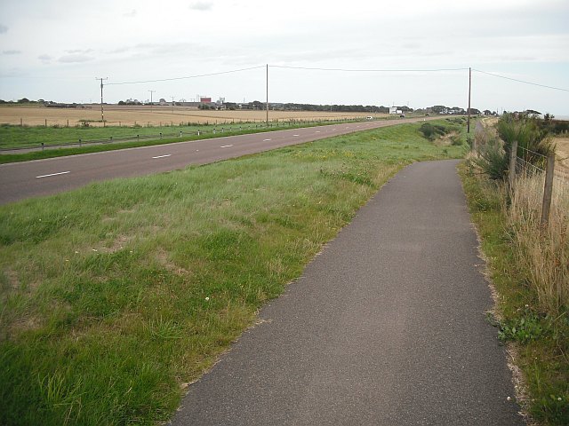
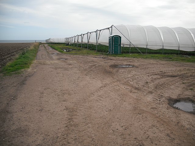
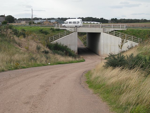
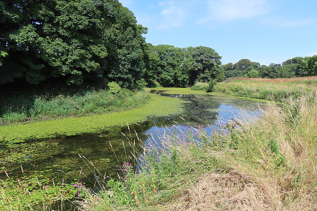
Arbirlot Images

Images are sourced within 2km of 56.554656/-2.651207 or Grid Reference NO6040. Thanks to Geograph Open Source API. All images are credited.

Balcathie and Grassy Field
Bus Stop on the New A92 Arbroath to Dundee Dual Carriageway
Scabious At the edge of the path.
Scabious
At the edge of the path.
Cows on the horizon The nature trail cuts across several fields at this point. As you can see they have cows in them.
Cows on the horizon
The nature trail cuts across several fields at this point. As you can see they have cows in them.
Bus shelter on A92
Bus shelter on A92
Potato field, Nether Kelly The leaves have been killed off by spraying with sulphuric acid prior to harvest.
Potato field, Nether Kelly
The leaves have been killed off by spraying with sulphuric acid prior to harvest.
A92, Three Mile Wood Dundee - Arbroath road, now a dual carriageway.
A92, Three Mile Wood
Dundee - Arbroath road, now a dual carriageway.
Stubble by Balcathie Stubble field beside the A92 with some polytunnels in the background.
Stubble by Balcathie
Stubble field beside the A92 with some polytunnels in the background.
Cycle path beside the A92 Purpose built path beside the newly widened A92.
Cycle path beside the A92
Purpose built path beside the newly widened A92.
Polytunnels, Elliot Tunnels that sheltered soft fruit. On the left there is a potato field which has been treated with sulphuric acid to kill off the leaves.
Polytunnels, Elliot
Tunnels that sheltered soft fruit. On the left there is a potato field which has been treated with sulphuric acid to kill off the leaves.
Underpass, Balcathie Underpass linking farmland on either side of the A92.
Underpass, Balcathie
Underpass linking farmland on either side of the A92.
Elliot Mill Dam The dam used to provide power for mills at Kelly, where there was also a bleachfield.
Elliot Mill Dam
The dam used to provide power for mills at Kelly, where there was also a bleachfield.
Elliot Mill Dam The dam used to provide power for mills at Kelly, where there was also a bleachfield. Much of the pond is now covered by <a href="https://www.geograph.org.uk/photo/7246933">NO6139 : Fringed Water-lily (Nymphoides peltatus)</a>, which is scarce in Scotland.
Elliot Mill Dam
The dam used to provide power for mills at Kelly, where there was also a bleachfield. Much of the pond is now covered by NO6139 : Fringed Water-lily (Nymphoides peltatus), which is scarce in Scotland.
Mute Swan (Cygnus olor) Reflected in the dark water of Elliot Mill Dam.
Mute Swan (Cygnus olor)
Reflected in the dark water of Elliot Mill Dam.
Fringed Water-lily (Nymphoides peltatus) An introduced species, unusual in Scotland, but increasing its range.
Fringed Water-lily (Nymphoides peltatus)
An introduced species, unusual in Scotland, but increasing its range.
House beside Arbroath Artisans Golf Course The building appears to be a B&B.
House beside Arbroath Artisans Golf Course
The building appears to be a B&B.
A92 eastbound
A92 eastbound
A92 eastbound
A92 eastbound
Show me another place!

Arbirlot is located at Grid Ref: NO6040 (Lat: 56.554656, Lng: -2.651207)

Unitary Authority: Angus

Police Authority: Tayside

What 3 Words

///complains.argued.crashing. Near Arbroath, Angus

Nearby Locations

Arbirlot Kelly Castle

Related Wikis

Arbirlot

Arbirlot (Gaelic: Obar Eilid) is a village in a rural parish of the same name in Angus, Scotland. The current name is usually presumed to be a contraction...

Arbirlot railway station

Arbirlot railway station served the village of Arbirlot in the Scottish county of Angus. The station was served by a branch line, the Carmyllie Railway...

Cuthlie railway station

Cuthlie railway station served the area near Cuthlie Farm in Cuthlie, Angus, Scotland from 1900 to 1965 on the Carmyllie Railway. == History == The station...

Elliot, Angus

Elliot is a coastal hamlet in the county of Angus, Scotland, on the westernmost edge of Arbroath on the A92 road. The Elliot Water reaches the North Sea...

Elliot Junction railway station

Elliot Junction railway station served the hamlet of Elliot, Angus, Scotland from 1866 to 1967 on the Dundee and Arbroath Railway. == History == The station...

Elliot Junction rail accident

The Elliot Junction rail accident occurred on 28 December[b] 1906 at Elliot Junction in Forfarshire (now Angus), Scotland. An express hit the rear of a...

Elliot Water

The Elliot Water is a minor river in Angus, Scotland. The Elliot rises near West Hills in Carmyllie and flows through the parish and village of Arbirlot...

Hospital of St John the Baptist, Arbroath

The Hospital of St John the Baptist, at Arbroath, Scotland, was founded in the early 14th century by the monastic community at Arbroath Abbey. The exact...

Nearby Amenities

Located within 500m of 56.554656,-2.651207
Bus Stop
Kellie Castle Lodge
Alt Name: Grahamston Cottages
Naptan AltCommonName: Grahamston Cottages
Naptan AtcoCode: 6490IM1197
Naptan Bearing: NW
Naptan BusStopType: CUS
Naptan CommonName: Kellie Castle Lodge
Naptan Indicator: opp
Naptan NaptanCode: 26424598
Naptan Street: Unclassified Road
Naptan Verified: no
Source: naptan_import
Lat/Long: 56.5507642/-2.6497009
Bus Stop
Kellie Castle Lodge
Alt Name: Grahamston Cottages
Local Ref: AT
Naptan AltCommonName: Grahamston Cottages
Naptan AtcoCode: 6490IM1198
Naptan Bearing: SE
Naptan BusStopType: CUS
Naptan CommonName: Kellie Castle Lodge
Naptan Indicator: at
Naptan NaptanCode: 26424623
Naptan Street: Unclassified Road
Naptan Verified: no
Source: naptan_import
Lat/Long: 56.5509719/-2.649493
Bus Stop
Kirk
Naptan AtcoCode: 6490IM692
Naptan Bearing: W
Naptan BusStopType: CUS
Naptan CommonName: Kirk
Naptan Indicator: opp
Naptan Landmark: Arbirlot Kirk
Naptan NaptanCode: 26423253
Naptan Street: Arbroath Road
Naptan Verified: no
Source: naptan_import
Lat/Long: 56.5548307/-2.6503562
Bus Stop
Kirk
Local Ref: AT
Naptan AtcoCode: 6490IM693
Naptan Bearing: E
Naptan BusStopType: CUS
Naptan CommonName: Kirk
Naptan Indicator: at
Naptan Landmark: Arbirlot Kirk
Naptan NaptanCode: 26423252
Naptan Street: Arbroath Road
Naptan Verified: no
Source: naptan_import
Lat/Long: 56.5546699/-2.6501745
Arbirlot
Alt Name: Kirkton of Arbirlot
Name Gd: Obar Eilid
Old Name: Aberelliot
Place: village
Source: OS OpenData StreetView
Wikidata: Q4784709
Wikipedia: en:Arbirlot
Lat/Long: 56.5555576/-2.6497707
Design: barrel
Power: tower
Lat/Long: 56.5579975/-2.6562475
Post Box
Operator: Royal Mail
Lat/Long: 56.5555236/-2.6494704
Arbirlot Falls
Alt Name: Arbirlot Waterfall
Height: 7
Waterway: waterfall
Lat/Long: 56.5548094/-2.6500548
Arbirlot
Traffic Sign: city_limit
Traffic Sign Direction: forward
Lat/Long: 56.5545469/-2.6508381
Arbirlot
Traffic Sign: city_limit
Traffic Sign Direction: backward
Lat/Long: 56.5556529/-2.6445893
Power: pole
Lat/Long: 56.5504488/-2.6535094
Power: pole
Lat/Long: 56.5515813/-2.6526243
Power: pole
Lat/Long: 56.5524225/-2.651951
Power: pole
Lat/Long: 56.5529532/-2.6499367
Power: pole
Lat/Long: 56.5540117/-2.6458731
Power: pole
Lat/Long: 56.5544153/-2.6443309
Power: pole
Lat/Long: 56.5523494/-2.6516827
Power: pole
Lat/Long: 56.5520431/-2.6508784
Power: pole
Lat/Long: 56.551439/-2.6502926
Power: pole
Lat/Long: 56.5509564/-2.6498083
Power: pole
Lat/Long: 56.5506704/-2.6493327
Power: pole
Lat/Long: 56.551713/-2.6490905
Power: pole
Lat/Long: 56.5519823/-2.6479274
Power: pole
Lat/Long: 56.5522671/-2.6467514
Power: pole
Lat/Long: 56.5526014/-2.645505
Power: pole
Lat/Long: 56.5588793/-2.6493143
Power: pole
Lat/Long: 56.5587649/-2.6504169
Power: pole
Lat/Long: 56.5586649/-2.6514524
Power: pole
Lat/Long: 56.5579786/-2.6497899
Power: pole
Lat/Long: 56.5574198/-2.6496299
Power: pole
Lat/Long: 56.5567276/-2.6498505
Power: pole
Lat/Long: 56.5564333/-2.6499434
Power: pole
Lat/Long: 56.5585719/-2.6524966
Power: pole
Lat/Long: 56.5585112/-2.6525615
Power: pole
Lat/Long: 56.5577344/-2.6525658
Power: pole
Lat/Long: 56.5571244/-2.6525896
Power: pole
Lat/Long: 56.5563797/-2.6526155
Power: pole
Lat/Long: 56.5556732/-2.6526566
Power: pole
Lat/Long: 56.5555909/-2.6526588
Power: pole
Lat/Long: 56.5549559/-2.6526523
Power: pole
Lat/Long: 56.5543518/-2.6526804
Power: pole
Lat/Long: 56.553588/-2.6526782
Power: pole
Lat/Long: 56.5542088/-2.6513984
Power: pole
Lat/Long: 56.552804/-2.6527474
Power: pole
Lat/Long: 56.5526562/-2.6537289
Power: pole
Lat/Long: 56.5525096/-2.6548726
Power: pole
Lat/Long: 56.5523559/-2.6560422
Power: pole
Lat/Long: 56.5522058/-2.6572312
The data included in this document is from www.openstreetmap.org. The data is made available under ODbL.

Have you been to Arbirlot?

Leave your review of Arbirlot below (or comments, questions and feedback).