Kelly Castle
Heritage Site in Angus
Scotland
Kelly Castle
Kelly Castle, located in Angus, Scotland, is a magnificent heritage site that stands as a testament to the region's rich history and architectural beauty. Situated on a hill overlooking the picturesque countryside, the castle dates back to the 15th century and has played a significant role in Scotland's past.
The castle's distinctive feature is its imposing tower house, which was built by the Ogilvy family, one of Scotland's most influential noble families. Its impressive size and sturdy construction reflect the defensive purpose it served during turbulent times. Over the centuries, various additions and alterations have been made to the castle, resulting in a unique blend of architectural styles.
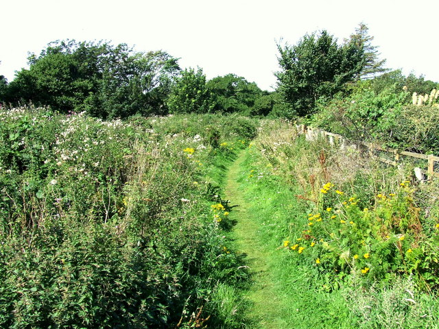
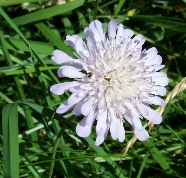
Visitors to Kelly Castle can explore its well-preserved interiors, which showcase a range of period furniture, paintings, and artifacts. The Great Hall, with its grand fireplace and intricate woodwork, provides a glimpse into the opulence of the past. The castle's gardens are equally captivating, with manicured lawns, vibrant flower beds, and ancient trees that create a serene and enchanting atmosphere.
Kelly Castle is also known for its historical significance. It was involved in several pivotal events, including the Jacobite uprisings of the 18th century. The castle's strategic location made it a coveted stronghold, and its owners played active roles in shaping Scottish history.
Today, Kelly Castle is open to the public, allowing visitors to immerse themselves in Scotland's fascinating past. Its well-preserved architecture, stunning surroundings, and rich historical connections make it a must-visit destination for history enthusiasts and anyone seeking to experience the grandeur of ancient Scotland.
If you have any feedback on the listing, please let us know in the comments section below.
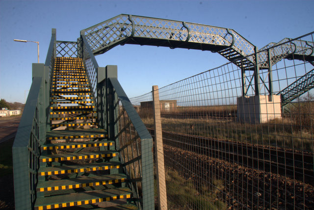
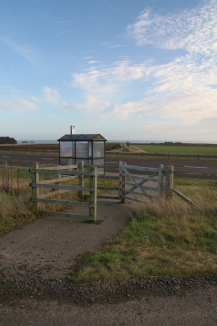
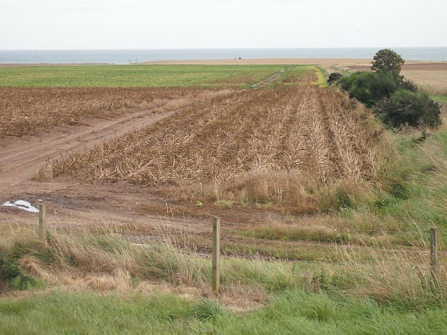
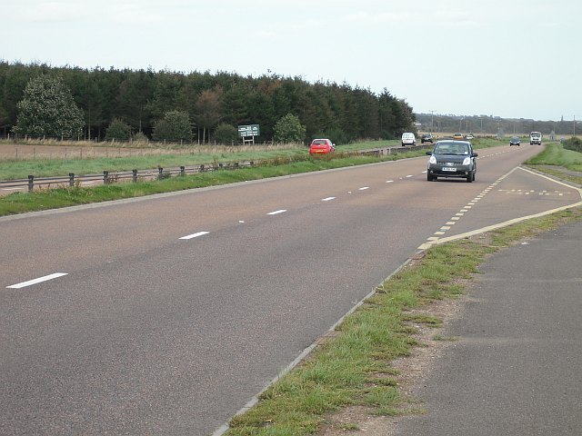
Kelly Castle Images
Images are sourced within 2km of 56.555/-2.642 or Grid Reference NO6040. Thanks to Geograph Open Source API. All images are credited.
Kelly Castle is located at Grid Ref: NO6040 (Lat: 56.555, Lng: -2.642)
Unitary Authority: Angus
Police Authority: Tayside
What 3 Words
///sparkle.darkens.exotic. Near Arbroath, Angus
Nearby Locations
Related Wikis

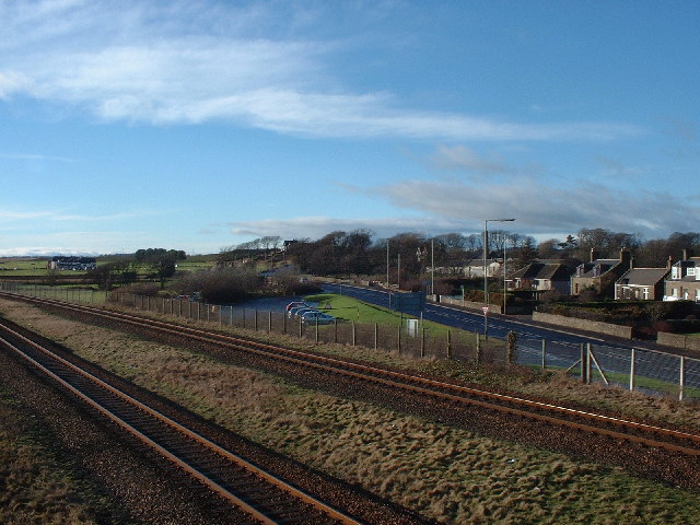
Arbirlot railway station
Arbirlot railway station served the village of Arbirlot in the Scottish county of Angus. The station was served by a branch line, the Carmyllie Railway...

Arbirlot
Arbirlot (Gaelic: Obar Eilid) is a village in a rural parish of the same name in Angus, Scotland. The current name is usually presumed to be a contraction...

Cuthlie railway station
Cuthlie railway station served the area near Cuthlie Farm in Cuthlie, Angus, Scotland from 1900 to 1965 on the Carmyllie Railway. == History == The station...

Elliot, Angus
Elliot is a coastal hamlet in the county of Angus, Scotland, on the westernmost edge of Arbroath on the A92 road. The Elliot Water reaches the North Sea...

Elliot Junction railway station
Elliot Junction railway station served the hamlet of Elliot, Angus, Scotland from 1866 to 1967 on the Dundee and Arbroath Railway. == History == The station...
Elliot Junction rail accident
The Elliot Junction rail accident occurred on 28 December[b] 1906 at Elliot Junction in Forfarshire (now Angus), Scotland. An express hit the rear of a...

Hospital of St John the Baptist, Arbroath
The Hospital of St John the Baptist, at Arbroath, Scotland, was founded in the early 14th century by the monastic community at Arbroath Abbey. The exact...

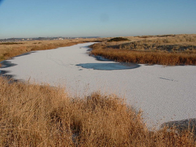
Elliot Water
The Elliot Water is a minor river in Angus, Scotland. The Elliot rises near West Hills in Carmyllie and flows through the parish and village of Arbirlot...
Nearby Amenities
Located within 500m of 56.555,-2.642Have you been to Kelly Castle?
Leave your review of Kelly Castle below (or comments, questions and feedback).