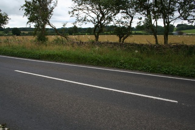
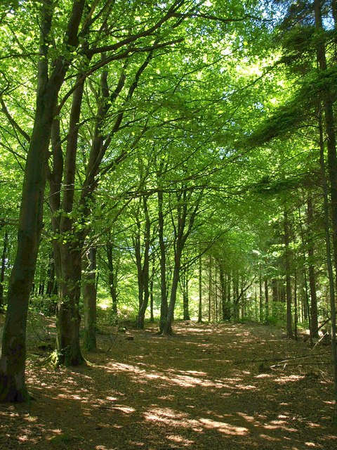
Ash Plantation
Wood, Forest in Somerset Mendip
England
Ash Plantation

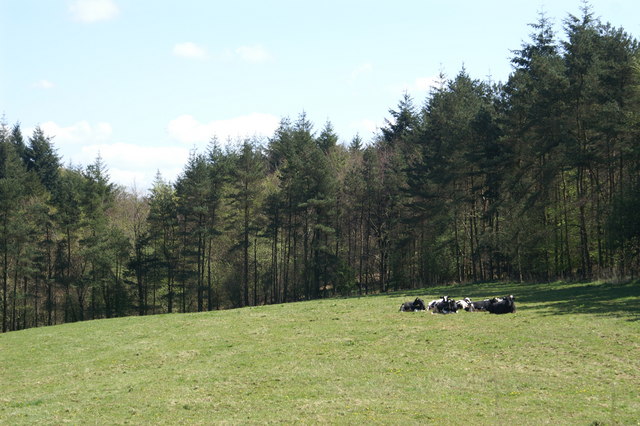
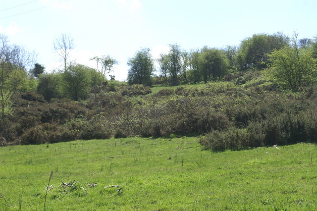
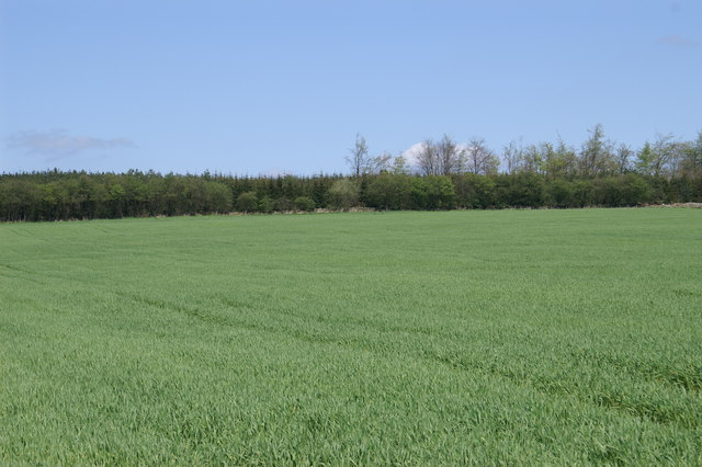
Ash Plantation is a verdant woodland located in Somerset, England. Stretching across a vast area of land, this plantation is characterized by its dense growth of ash trees, which dominate the landscape and give the area its name. The plantation is a testament to the natural beauty and biodiversity of the region.
The ash trees found in this woodland are known for their tall, slender trunks and feathery, light green leaves. These trees create a serene and peaceful ambiance within the forest, providing shade and shelter for a variety of flora and fauna. The rich soil and favorable climate of Somerset contribute to the lush growth of this plantation.
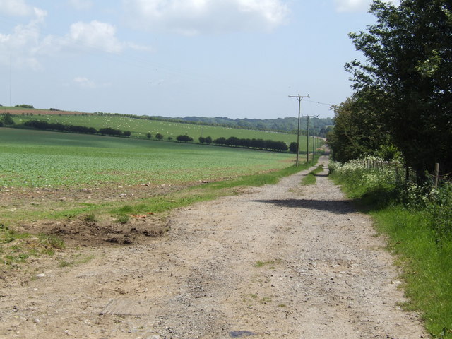
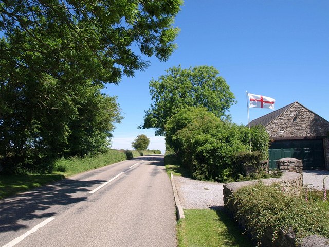
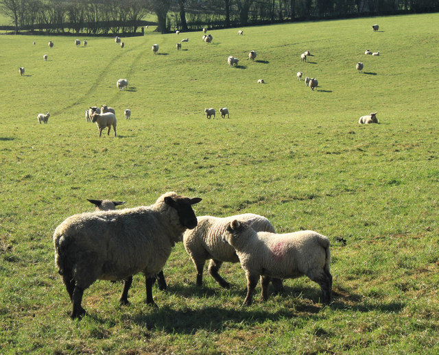
Ash Plantation offers a range of recreational activities for visitors. The well-maintained trails winding through the forest provide an excellent opportunity for hiking and nature walks, allowing visitors to immerse themselves in the tranquility of the surroundings. The plantation also serves as a habitat for a diverse range of wildlife, including various bird species, small mammals, and insects, making it an ideal spot for birdwatching and wildlife enthusiasts.
This woodland is not only a haven for nature lovers but also plays a crucial role in environmental conservation. The ash trees in the plantation contribute to air purification by absorbing carbon dioxide and releasing oxygen, helping to combat climate change.
Ash Plantation is a testament to the beauty and ecological value of woodlands in Somerset. Whether one seeks a peaceful retreat or a chance to connect with nature, this plantation offers an enchanting and enriching experience for all who visit.
If you have any feedback on the listing, please let us know in the comments section below.
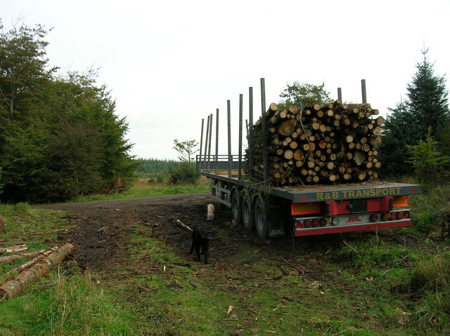
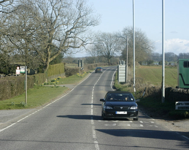
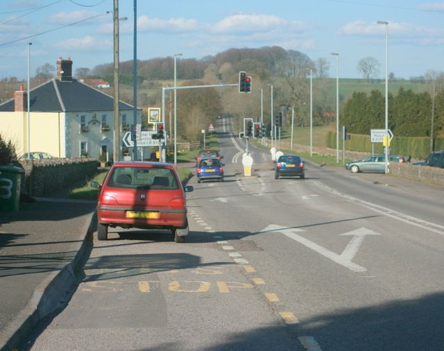
Ash Plantation Images
Images are sourced within 2km of 51.249615/-2.6180964 or Grid Reference ST5650. Thanks to Geograph Open Source API. All images are credited.

Ash Plantation is located at Grid Ref: ST5650 (Lat: 51.249615, Lng: -2.6180964)
Administrative County: Somerset
District: Mendip
Police Authority: Avon and Somerset
What 3 Words
///linen.themes.scribbled. Near Mendip, Somerset
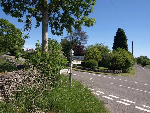
Nearby Locations
Related Wikis

Drove Cottage Henge
Drove Cottage Henge (sometimes called Hunter's Lodge Henge) is a scheduled monument in the Priddy parish of Somerset, England. It is located 370 metres...
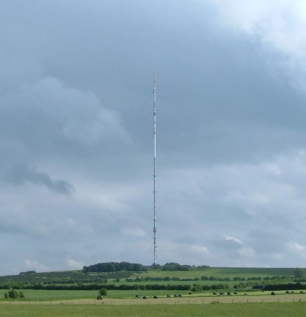
Mendip transmitting station
The Mendip transmitting station is a broadcasting and telecommunications facility on the summit of Pen Hill, part of the Mendip Hills range in Somerset...

Pen Hill
Pen Hill forms part of the Mendip Hills plateau in Somerset, England. The hill is located in St Cuthbert Out civil parish in Mendip district. The name...
Attborough Swallet
Attborough Swallet (also known as Red Quar Swallet) is a cave in Chewton Mendip in Somerset, England. It is unusual for a cave on the Mendip Hills in that...

Stock Hill
Stock Hill (grid reference ST5551) is a Forestry Commission plantation on the Mendip Hills, Somerset, England. It lies to the south of the B3135 which...
Hunter's Hole
Hunter's Hole (or Hunters' Hole) is a cave in the Mendip Hills in Somerset, England. It is behind a pub, known as the Hunters Lodge Inn just outside Priddy...
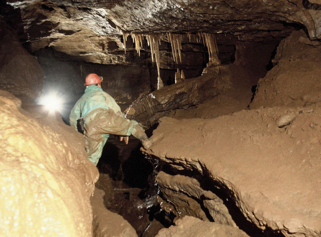
St Cuthbert's Swallet
St Cuthbert's Swallet is the second longest, and most complex, cave on the Mendip Hills, in Somerset, England. It forms a major part of the Priddy Caves...

Priddy Pools
Priddy Pools (grid reference ST545510) is a 52.7-hectare (130-acre) geological Site of Special Scientific Interest at Priddy in the Mendip Hills, Somerset...
Have you been to Ash Plantation?
Leave your review of Ash Plantation below (or comments, questions and feedback).