Mendip Hills
Range Of Mountains, Range Of Hills in Somerset Mendip
England
Mendip Hills
The Mendip Hills, located in Somerset, England, is a range of hills renowned for their natural beauty and rich geological history. Stretching over 30 miles from Frome in the south to Weston-super-Mare in the north, the Mendip Hills are classified as both a range of mountains and a range of hills, with elevations reaching up to 1,000 feet.
Composed mainly of limestone, the hills are characterized by their distinct karst topography, featuring numerous caves, sinkholes, and underground rivers. The most famous of these caves is Cheddar Gorge, a spectacular natural feature attracting tourists from all over the world. The hills are also home to an abundance of wildlife and plant species, including rare orchids, beautiful butterflies, and rare bats.
The Mendip Hills have a rich cultural heritage, with evidence of human occupation dating back thousands of years. The area is dotted with ancient monuments, such as burial mounds and standing stones, showcasing its historical significance. In addition, the hills have been a site of mining activity since Roman times, with lead, zinc, and limestone being extracted.
Today, the Mendip Hills are a popular destination for outdoor enthusiasts, offering a wide range of activities such as hiking, mountain biking, rock climbing, and caving. The area is crisscrossed with footpaths and trails, providing stunning views of the surrounding countryside. Furthermore, the hills are a designated Area of Outstanding Natural Beauty, ensuring their protection and conservation for future generations to enjoy.
In conclusion, the Mendip Hills in Somerset are a picturesque and geologically fascinating range of mountains and hills, offering a blend of natural beauty, cultural heritage, and outdoor recreational opportunities.
If you have any feedback on the listing, please let us know in the comments section below.
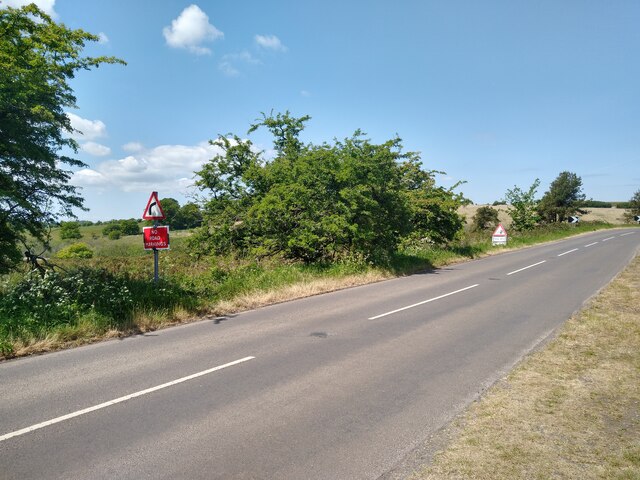
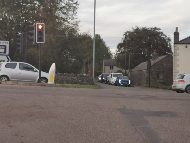
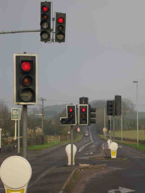
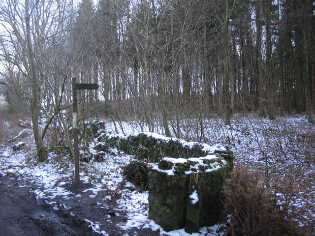
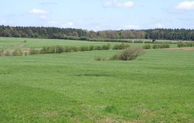
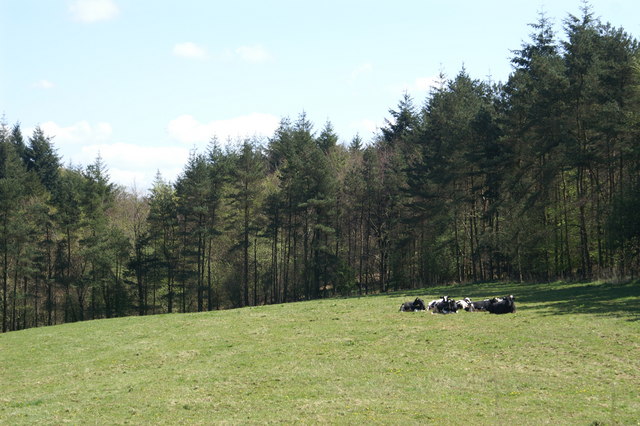
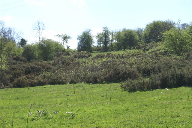
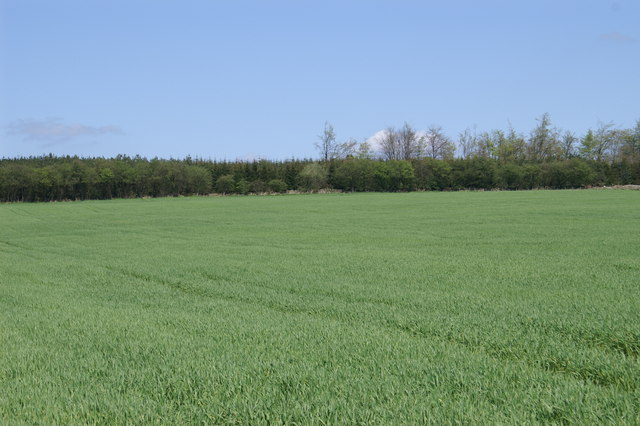
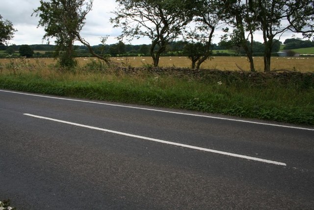
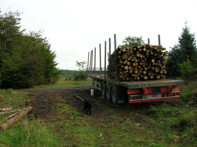
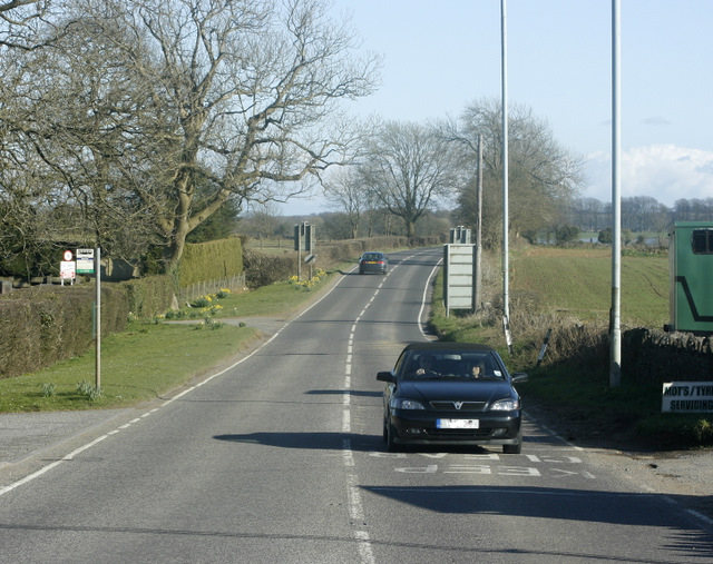
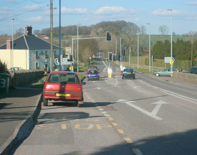
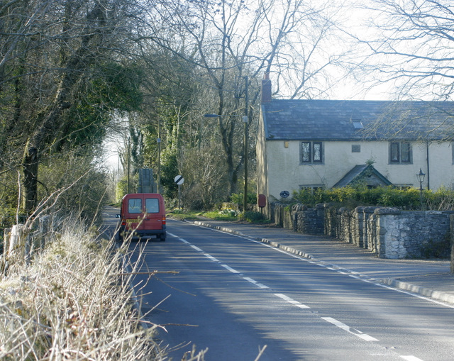
Mendip Hills Images
Images are sourced within 2km of 51.25319/-2.6254092 or Grid Reference ST5650. Thanks to Geograph Open Source API. All images are credited.


Mendip Hills is located at Grid Ref: ST5650 (Lat: 51.25319, Lng: -2.6254092)
Administrative County: Somerset
District: Mendip
Police Authority: Avon and Somerset
What 3 Words
///animates.undivided.servers. Near Mendip, Somerset
Nearby Locations
Related Wikis

Drove Cottage Henge
Drove Cottage Henge (sometimes called Hunter's Lodge Henge) is a scheduled monument in the Priddy parish of Somerset, England. It is located 370 metres...
Attborough Swallet
Attborough Swallet (also known as Red Quar Swallet) is a cave in Chewton Mendip in Somerset, England. It is unusual for a cave on the Mendip Hills in that...

Stock Hill
Stock Hill (grid reference ST5551) is a Forestry Commission plantation on the Mendip Hills, Somerset, England. It lies to the south of the B3135 which...
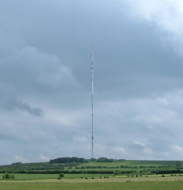
Mendip transmitting station
The Mendip transmitting station is a broadcasting and telecommunications facility on the summit of Pen Hill, part of the Mendip Hills range in Somerset...

Pen Hill
Pen Hill forms part of the Mendip Hills plateau in Somerset, England. The hill is located in St Cuthbert Out civil parish in Mendip district. The name...
Hunter's Hole
Hunter's Hole (or Hunters' Hole) is a cave in the Mendip Hills in Somerset, England. It is behind a pub, known as the Hunters Lodge Inn just outside Priddy...

Priddy Mineries
Priddy Mineries (grid reference ST547515) is a nature reserve previously run by the Somerset Wildlife Trust. It is in the village of Priddy, on the Mendip...

Priddy Pools
Priddy Pools (grid reference ST545510) is a 52.7-hectare (130-acre) geological Site of Special Scientific Interest at Priddy in the Mendip Hills, Somerset...
Have you been to Mendip Hills?
Leave your review of Mendip Hills below (or comments, questions and feedback).