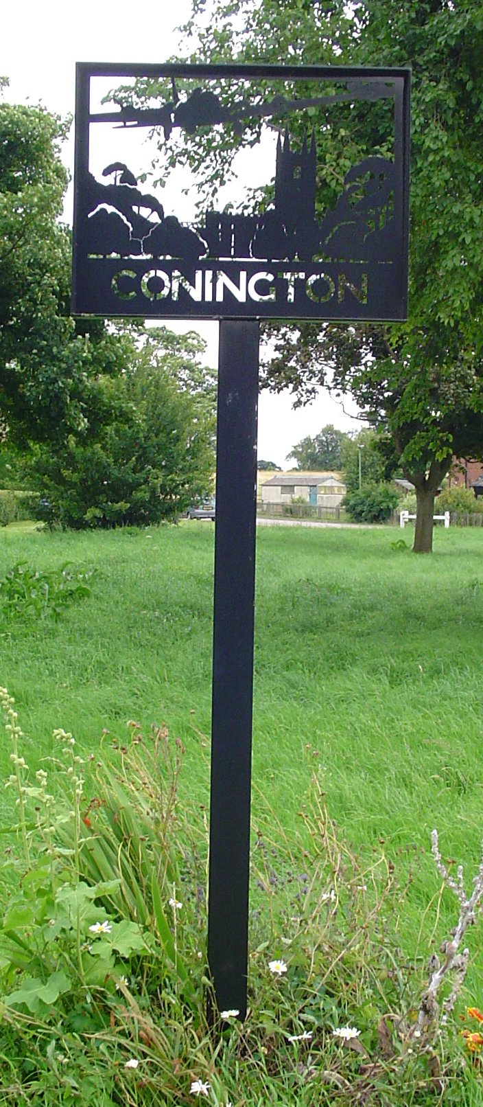
Conington

Settlement in Huntingdonshire Huntingdonshire

England

Conington

Cyclists on the B1043 One of several groups I encountered in a very short space of time.
Cyclists on the B1043 Credit: Jonathan Thacker

Conington is a small village located in the county of Huntingdonshire, in the eastern part of England. Situated approximately 10 miles south of Peterborough, Conington is a picturesque village with a population of around 200 residents.

The village is known for its rural charm and beautiful countryside surroundings. It is characterized by a mix of traditional thatched cottages and more modern houses, giving it a unique and appealing aesthetic. The village is also home to a historic church, St. Mary's, which dates back to the 12th century and is renowned for its stunning architecture.

Conington is well-connected to nearby towns and cities, with convenient road access to major transport routes such as the A1 and A14. This makes it an ideal location for commuters who work in Peterborough or other nearby urban centers.

Despite its small size, the village has a strong sense of community and offers a range of amenities for its residents. These include a village hall, a primary school, and a local pub where locals can gather and socialize. The surrounding countryside provides ample opportunities for outdoor activities such as walking, cycling, and horse riding.

Overall, Conington is a tranquil and idyllic village that offers a peaceful respite from the hustle and bustle of city life. Its charming architecture, strong community spirit, and proximity to major transport links make it an attractive place to live for those seeking a rural lifestyle with easy access to urban amenities.

If you have any feedback on the listing, please let us know in the comments section below.
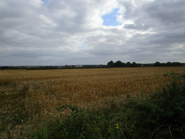
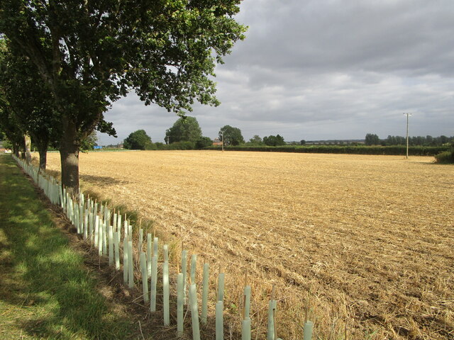
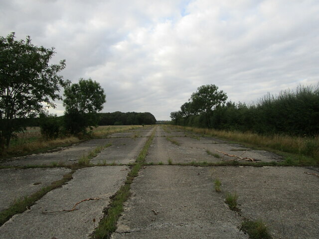
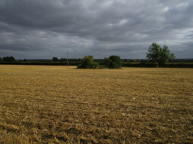
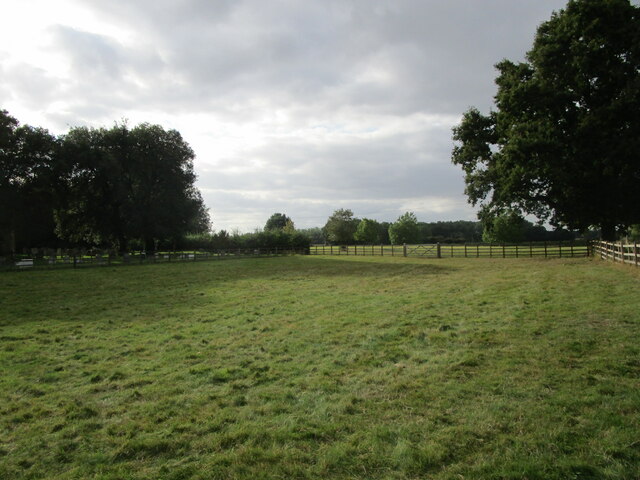
Conington Images

Images are sourced within 2km of 52.458247/-0.270636 or Grid Reference TL1785. Thanks to Geograph Open Source API. All images are credited.

Cyclists on the B1043 One of several groups I encountered in a very short space of time.
Cyclists on the B1043
One of several groups I encountered in a very short space of time.
Wheat field off Cook's Lane
Stubble field and new hedge Near Bruce's Castle Farm.
Several hundred metres of new hedging has been planted in this area.
Stubble field and new hedge
Near Bruce's Castle Farm. Several hundred metres of new hedging has been planted in this area.
Stubble field near Ivy Farm Looking towards the East Coast Main Line.
Stubble field near Ivy Farm
Looking towards the East Coast Main Line.
Gates to Conington House and footpath to the church Probably date from the early seventeenth century.
Gates to Conington House and footpath to the church
Probably date from the early seventeenth century.
Isolated barn, Conington A footpath between the village and church runs alongside on the right.
Isolated barn, Conington
A footpath between the village and church runs alongside on the right.
Woodland north of Conington
Former taxiway, RAF Glatton RAF Glatton opened as a USAF base in 1943. It closed in 1948 <span class="nowrap"><a title="https://en.wikipedia.org/wiki/RAF_Glatton" rel="nofollow ugc noopener" href="https://en.wikipedia.org/wiki/RAF_Glatton">Link</a><img style="margin-left:2px;" alt="External link" title="External link - shift click to open in new window" src="https://s1.geograph.org.uk/img/external.png" width="10" height="10"/></span>
Despite its short life it has had a major impact on the surroundings of Conington with many roads clearly having originally been part of the base. Concrete beneath the tarmac is the giveaway.
Former taxiway, RAF Glatton
RAF Glatton opened as a USAF base in 1943. It closed in 1948 LinkExternal link Despite its short life it has had a major impact on the surroundings of Conington with many roads clearly having originally been part of the base. Concrete beneath the tarmac is the giveaway.
Tree lined track off Glatton Lane Not a public right of way.
Tree lined track off Glatton Lane
Not a public right of way.
All Saints, Conington The bell tower bathed in evening sunlight, just after finished a 3 hour peal on the bells here.
All Saints, Conington
The bell tower bathed in evening sunlight, just after finished a 3 hour peal on the bells here.
All Saints, Conington  My favourite church judging by how many photos I've taken of this place over the years plus the many I added to this site 8 odd years ago!

14th Century building with memorials inside dedicated to the Cotton family who rebuilt it in 1500.
All Saints, Conington
My favourite church judging by how many photos I've taken of this place over the years plus the many I added to this site 8 odd years ago! 14th Century building with memorials inside dedicated to the Cotton family who rebuilt it in 1500.
Conington, All Saints
Stubble field near Bruce's Castle Farm The bushes in the field hide a small pond.
Stubble field near Bruce's Castle Farm
The bushes in the field hide a small pond.
Harrowed field and small plantation near Bruce's Castle Farm
Crease Road and Bruce's Castle Farm New hedges have been planted alongside the road.
Crease Road and Bruce's Castle Farm
New hedges have been planted alongside the road.
Lane near Ivy Farm Looking towards Ivy Farm.
Lane near Ivy Farm
Looking towards Ivy Farm.
War memorial, Conington
Grass field at Conington
Show me another place!

Conington is located at Grid Ref: TL1785 (Lat: 52.458247, Lng: -0.270636)

Administrative County: Cambridgeshire

District: Huntingdonshire

Police Authority: Cambridgeshire

What 3 Words

///doctors.gobblers.piglet. Near Sawtry, Cambridgeshire

Nearby Locations

Conington Palmer's Grove

Related Wikis

Conington, Huntingdonshire

Conington (Conington All Saints, or "Conington-juxta-Petriburg") is an English village and civil parish in the Cambridgeshire district of Huntingdonshire...

All Saints Church, Conington

All Saints Church is a redundant Anglican church in the village of Conington in the Huntingdonshire district of Cambridgeshire, England. It is recorded...

Conington Castle

Conington Castle was a 16th-century house in Conington, Huntingdonshire, England, built for Sir Robert Cotton. It was demolished in 1956 by the then owner...

RAF Glatton

Royal Air Force Glatton or more simply RAF Glatton is a former Royal Air Force station located 10 miles (16 km) north of Huntingdon, Cambridgeshire, England...

Peterborough Business Airport

Peterborough Business Airport (ICAO: EGSF) is a privately owned airfield in the English county of Cambridgeshire near the villages of Holme and Conington...

Church of All Saints, Sawtry

Church of All Saints is a Grade II listed building located in Sawtry, a village in Huntingdonshire, Cambridgeshire, England. It became a listed building...

Middle Level Navigations

The Middle Level Navigations are a network of waterways in England, primarily used for land drainage, which lie in The Fens between the Rivers Nene and...

Sawtry

Sawtry () is a village and civil parish in Cambridgeshire, England. Sawtry lies approximately 8 miles (13 km) north of Huntingdon. Sawtry is situated within...

Nearby Amenities

Located within 500m of 52.458247,-0.270636
Bus Stop
Bruces Close
Bus: yes
Naptan AtcoCode: 0500HCONN002
Naptan Bearing: E
Naptan BusStopType: CUS
Naptan CommonName: Bruces Close
Naptan Indicator: near
Naptan Landmark: Bruces Close
Naptan NaptanCode: cmbdmwaw
Naptan ShortCommonName: Bruces Close
Naptan Street: Church Road
Naptan Verified: no
Public Transport: platform
Source: naptan_import
Lat/Long: 52.4584005/-0.2716396
Bus Stop
Bruces Close
Bus: yes
Naptan AtcoCode: 0500HCONN004
Naptan Bearing: W
Naptan BusStopType: CUS
Naptan CommonName: Bruces Close
Naptan Indicator: opp
Naptan Landmark: Bruces Close
Naptan NaptanCode: cmbdmwdg
Naptan ShortCommonName: Bruces Close
Naptan Street: Church Road
Naptan Verified: no
Public Transport: platform
Source: naptan_import
Lat/Long: 52.458319/-0.2716563
Post Box
Post Box Design: type_m
Post Box Type: lamp
Ref: PE7 176
Royal Cypher: EIIR
Royal Cypher Wikidata: Q33102113
Lat/Long: 52.458393/-0.271407
Barrier: stile
Lat/Long: 52.458114/-0.2673222
War Memorial
Historic: memorial
Lat/Long: 52.4581836/-0.264523
Conington
Place: hamlet
Lat/Long: 52.4603927/-0.2687146
Power: pole
Lat/Long: 52.4561027/-0.2741671
Power: pole
Lat/Long: 52.4582029/-0.2774557
Power: pole
Lat/Long: 52.457639/-0.2768736
Power: pole
Lat/Long: 52.4590675/-0.2778204
Power: pole
Lat/Long: 52.4562825/-0.2755807
Power: transformer
Lat/Long: 52.4558607/-0.2726436
Power: pole
Lat/Long: 52.4569853/-0.276254
Power: pole
Lat/Long: 52.4583417/-0.2775764
Power: pole
Lat/Long: 52.4608391/-0.2685963
Power: pole
Lat/Long: 52.4603814/-0.2698409
Power: pole
Lat/Long: 52.4612813/-0.2673636
Power: pole
Lat/Long: 52.4595006/-0.2722064
Power: pole
Lat/Long: 52.4591044/-0.2729618
Barrier: yes
Lat/Long: 52.4558031/-0.2714709
Power: pole
Lat/Long: 52.45995/-0.2709994
Man Made: mast
Lat/Long: 52.4559101/-0.271368
Power: transformer
Lat/Long: 52.4606021/-0.2660268
Power: transformer
Lat/Long: 52.4613668/-0.2665149
Power: transformer
Lat/Long: 52.4598438/-0.2655601
Power: transformer
Lat/Long: 52.4586948/-0.2649539
Power: transformer
Lat/Long: 52.4590739/-0.2634545
Power: transformer
Lat/Long: 52.4593028/-0.2652704
Power: pole
Lat/Long: 52.4555779/-0.2763537
Power: pole
Lat/Long: 52.45881/-0.274386
Power: pole
Lat/Long: 52.4585918/-0.2755432
Power: pole
Lat/Long: 52.4583949/-0.2764927
Power: pole
Lat/Long: 52.4588958/-0.2739583
The data included in this document is from www.openstreetmap.org. The data is made available under ODbL.

Have you been to Conington?

Leave your review of Conington below (or comments, questions and feedback).