Blanche Wood

Wood, Forest in Lancashire Chorley

England

Blanche Wood

Back Lane Bridge, M6
Back Lane Bridge, M6 Credit: Alpin Stewart

Blanche Wood is a small village located in the county of Lancashire, England. Nestled in the heart of the Forest of Bowland, it is known for its picturesque landscapes and abundant greenery. The village is situated on the banks of the River Hodder, offering breathtaking views of the surrounding woodland and countryside.

Blanche Wood is a relatively secluded and peaceful village, making it an ideal destination for those seeking a tranquil retreat. The area is primarily residential, with a close-knit community that values its natural surroundings. The village is characterized by charming traditional cottages, many of which date back several centuries.

Nature lovers will find plenty to explore in Blanche Wood. The Forest of Bowland is a designated Area of Outstanding Natural Beauty, known for its diverse wildlife and extensive network of walking trails. Visitors can take leisurely strolls along the riverbank or venture deeper into the forest, immersing themselves in its serene atmosphere.

Although small in size, Blanche Wood offers a range of amenities for residents and visitors. There is a local pub, The Woodland Inn, where one can enjoy a pint of ale and a hearty meal. Additionally, the village has a community center that hosts various events and activities throughout the year, fostering a sense of community spirit.

Blanche Wood is a hidden gem in Lancashire, offering a peaceful escape from the hustle and bustle of city life. With its natural beauty and warm community atmosphere, it is a place that truly embodies the charm of the English countryside.

If you have any feedback on the listing, please let us know in the comments section below.
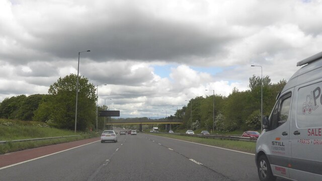
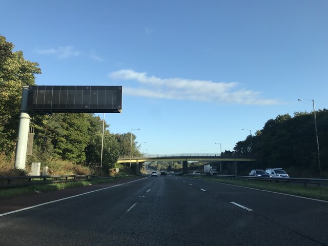
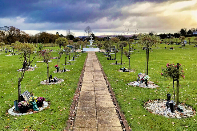
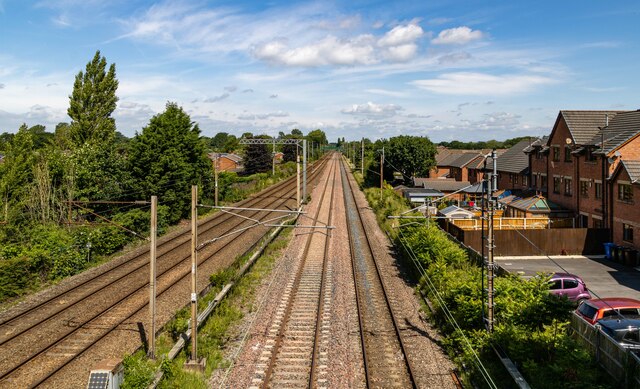
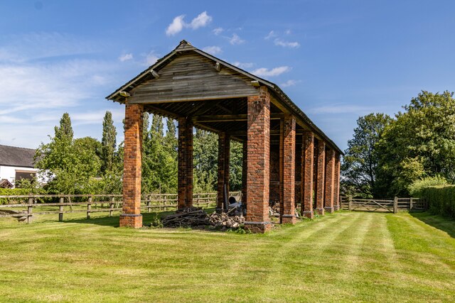
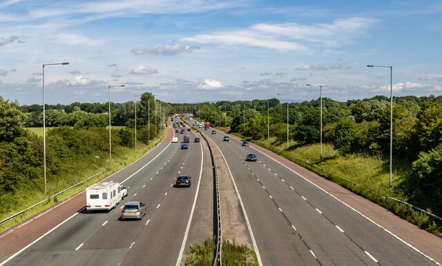
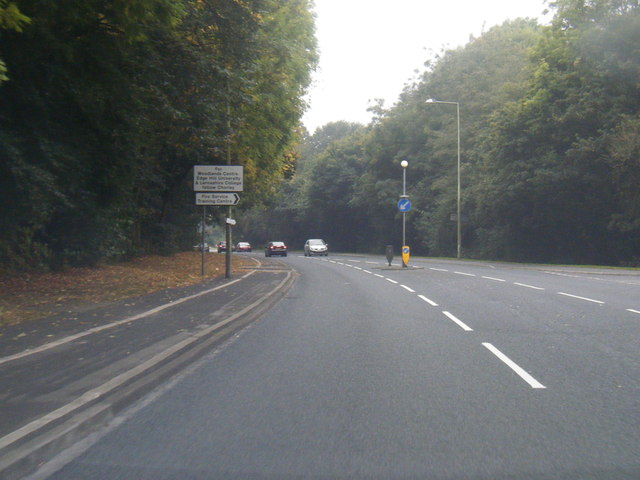
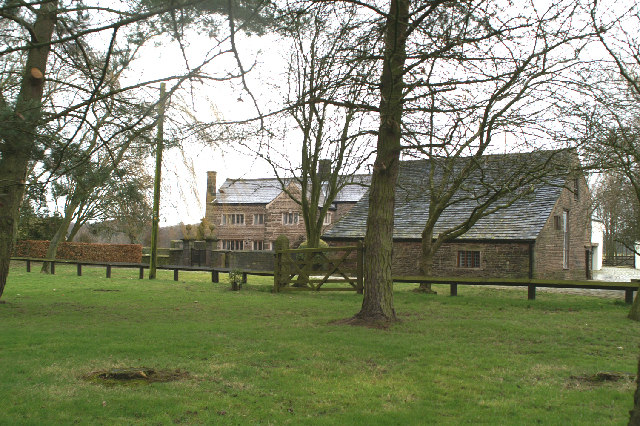
Blanche Wood Images

Images are sourced within 2km of 53.650631/-2.6648015 or Grid Reference SD5617. Thanks to Geograph Open Source API. All images are credited.

Back Lane Bridge, M6
Matrix board - northbound M6
Dawber's Lane - northbound M6
Charnock Richard Crematorium Memorial garden
Memorial Garden, Charnock Richard Crematorium
Astley Hall The render had just been removed from the brickwork
Astley Hall
The render had just been removed from the brickwork
The Courtyard Formed by the stable block to Astley Hall and Astley Farm
The Courtyard
Formed by the stable block to Astley Hall and Astley Farm
Devonshire Road, Chorley This is the view towards the junction with St Thomas's Road where the road has been resurfaced recently with new markings that look very bright in the June sunshine.
Devonshire Road, Chorley
This is the view towards the junction with St Thomas's Road where the road has been resurfaced recently with new markings that look very bright in the June sunshine.
Southport Road, Chorley With a curious dearth of traffic and badly faded road markings, this scene looks as though it could have been taken sometime before about 1960 - all it needs is a man in overalls and a flat cap cycling towards the photographer on a vintage bicycle. This is in fact a stretch of the A581 leading west of Chorley town centre.
Southport Road, Chorley
With a curious dearth of traffic and badly faded road markings, this scene looks as though it could have been taken sometime before about 1960 - all it needs is a man in overalls and a flat cap cycling towards the photographer on a vintage bicycle. This is in fact a stretch of the A581 leading west of Chorley town centre.
M6 Motorway The A581, Dawber's Lane, crossing the M6 motorway.
M6 Motorway
The A581, Dawber's Lane, crossing the M6 motorway.
West Coast Main Line WCML at Euxton.
West Coast Main Line
WCML at Euxton.
Bolton Green Farm Barn at Bolton Green Farm.
Bolton Green Farm
Barn at Bolton Green Farm.
M6 Motorway
M6 Motorway
Butterworth Brow
Butterworth Brow
B5252 New roundabout on the B5252, Yarrow Valley Way.
B5252
New roundabout on the B5252, Yarrow Valley Way.
Big Wood Weir and dam at the lake in Big Wood.
Big Wood
Weir and dam at the lake in Big Wood.
Old Milepost by the A49, Preston Road, Charnock Richard Parish Cast iron post by the A49, in parish of CHARNOCK RICHARD (CHORLEY District), was Preston Road, 100m East of Yew Tree Villas (approx SD 5489 1545), now moved to cross roads of Preston Road, Church Lane and Brook Lane. Wigan fan iron casting, erected by the Wigan & Preston (south of Yarrow) turnpike trust in the 19th century. An earlier photograph can be found here <a title="https://www.geograph.org.uk/photo/6044350" href="https://www.geograph.org.uk/photo/6044350">Link</a>.

Inscription reads:-
CHARNOCK - RICHARD
7 MILES TO WIGAN
10 MILES TO PRESTON
1837
Maker:-
HAIGH FOUNDRY

Milestone Society National ID: LA_WGPS07.
Old Milepost by the A49, Preston Road, Charnock Richard Parish
Cast iron post by the A49, in parish of CHARNOCK RICHARD (CHORLEY District), was Preston Road, 100m East of Yew Tree Villas (approx SD 5489 1545), now moved to cross roads of Preston Road, Church Lane and Brook Lane. Wigan fan iron casting, erected by the Wigan & Preston (south of Yarrow) turnpike trust in the 19th century. An earlier photograph can be found here Link. Inscription reads:- CHARNOCK - RICHARD 7 MILES TO WIGAN 10 MILES TO PRESTON 1837 Maker:- HAIGH FOUNDRY Milestone Society National ID: LA_WGPS07.
B5252 West Way
B5252 West Way
Show me another place!

Blanche Wood is located at Grid Ref: SD5617 (Lat: 53.650631, Lng: -2.6648015)

Administrative County: Lancashire

District: Chorley

Police Authority: Lancashire

What 3 Words

///rooms.food.clip. Near Euxton, Lancashire

Related Wikis

River Chor

The River Chor is a largely culverted stream in the Lancashire town of Chorley. Its name was back-formed from "Chorley". The source of the river is in...

Bolton Green

Bolton Green is a village in the Borough of Chorley, Lancashire, England. Bolton Green Hall farmhouse is a Grade II* listed building dating from 1612....

Chorley Rural District

Chorley Rural District was a rural district in the administrative county of Lancashire, England from 1894 to 1974. The district was created by the Local...

Lancashire College

Lancashire Adult Learning is an adult education college located in Lancashire, England . Courses offered by the college are aimed primarily at adult learners...

Euxton Balshaw Lane railway station

Euxton Balshaw Lane is one of two railway stations situated in Euxton , Lancashire, England. It is a local station on the West Coast Main Line on the stretch...

Euxton Hall Chapel

Euxton Hall Chapel is situated in the village of Euxton, Lancashire, England. It was designed by architect E. W. Pugin (1834–1875), and built in 1866...

Parklands High School, Chorley

Parklands High School is a coeducational secondary school with academy status located in Chorley, Lancashire, England. The school has been judged "good...

Euxton

Euxton ( EKS-tən) is a village and civil parish of the Borough of Chorley, in Lancashire, England. The population of the civil parish as taken at the 2011...

Nearby Amenities

Located within 500m of 53.650631,-2.6648015
Barrier: kissing_gate
Foot: yes
Maxwidth: 1
Lat/Long: 53.646541/-2.6678807
Barrier: stile
Bicycle: dismount
Foot: designated
Horse: no
Motor Vehicle: no
Lat/Long: 53.6502474/-2.6627862
Log Jik
Craft: sawmill
Source: survey;Mapillary
Wheelchair: no
Lat/Long: 53.6514154/-2.6615211
Barrier: stile
Foot: yes
Material: metal
Source: survey
Stile: stepover
Lat/Long: 53.650613/-2.6615305
Barrier: kissing_gate
Foot: designated
Motor Vehicle: no
Lat/Long: 53.6506317/-2.6618578
Yarrow Farm
Place: farm
Lat/Long: 53.6468542/-2.6613629
Barrier: stile
Bicycle: dismount
Foot: designated
Horse: no
Material: steel
Motor Vehicle: no
Lat/Long: 53.6502617/-2.6627117
Ford: yes
Lat/Long: 53.6502354/-2.6627492
The data included in this document is from www.openstreetmap.org. The data is made available under ODbL.

Have you been to Blanche Wood?

Leave your review of Blanche Wood below (or comments, questions and feedback).