Higher Green Wood
Wood, Forest in Lancashire South Ribble
England
Higher Green Wood
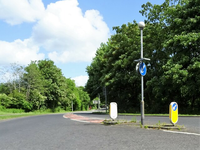
Higher Green Wood is a densely wooded area located in Lancashire, England. Covering an expansive area, the wood is characterized by its lush green landscape, towering trees, and abundant wildlife. It is an integral part of the local ecosystem and holds great ecological importance.
The wood boasts a variety of tree species, including oak, beech, birch, and ash, creating a diverse and rich habitat for numerous plant and animal species. The dense canopy provides a cool and shaded environment, making it an ideal habitat for woodland birds, such as woodpeckers, thrushes, and owls. The forest floor is covered with a thick layer of leaf litter, supporting a wide range of plant species, including wildflowers, ferns, and mosses.
Higher Green Wood is a popular destination for nature enthusiasts, hikers, and birdwatchers. Various trails wind through the wood, allowing visitors to explore its beauty and observe the wildlife. The tranquil atmosphere and peaceful surroundings make it an ideal place for relaxation and connection with nature.
The wood is managed by the local authorities, who strive to maintain its natural balance and preserve its biodiversity. Conservation efforts include the removal of invasive species, controlled burning, and sustainable logging practices.
Overall, Higher Green Wood is a cherished natural treasure in Lancashire, offering a sanctuary for wildlife and a haven for those seeking solace in nature. Its lush forests and diverse ecosystems make it a must-visit destination for anyone interested in the beauty and wonder of the natural world.
If you have any feedback on the listing, please let us know in the comments section below.
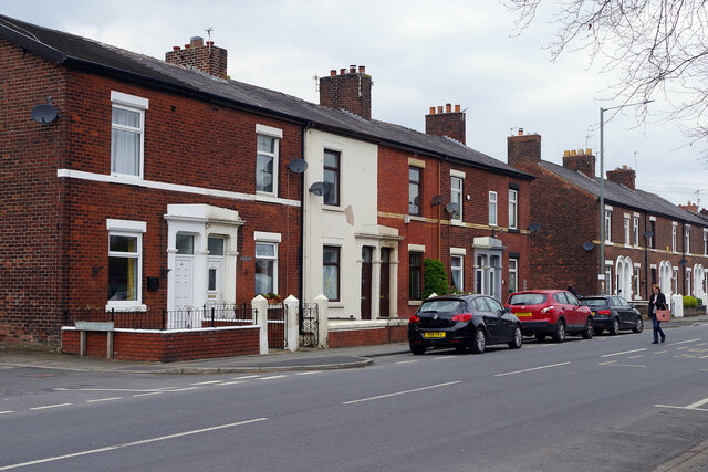
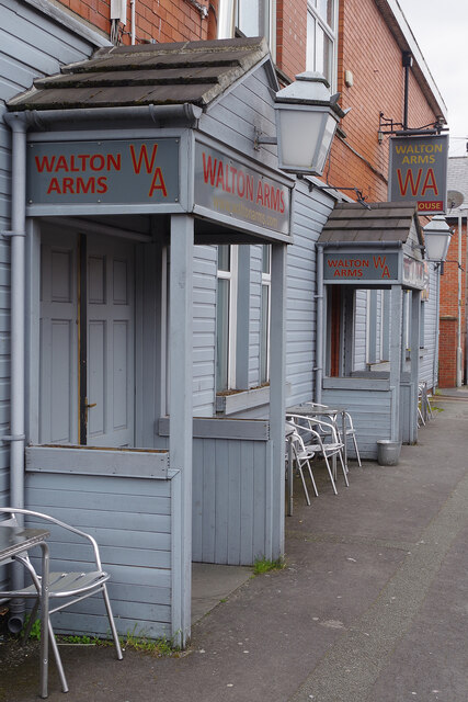
Higher Green Wood Images
Images are sourced within 2km of 53.719941/-2.6661976 or Grid Reference SD5625. Thanks to Geograph Open Source API. All images are credited.


Higher Green Wood is located at Grid Ref: SD5625 (Lat: 53.719941, Lng: -2.6661976)
Administrative County: Lancashire
District: South Ribble
Police Authority: Lancashire
What 3 Words
///items.bits.tens. Near Clayton-le-Woods, Lancashire
Nearby Locations
Related Wikis

Battle of Bamber Bridge
The Battle of Bamber Bridge is the name given to an outbreak of racial violence involving American soldiers stationed in the village of Bamber Bridge,...
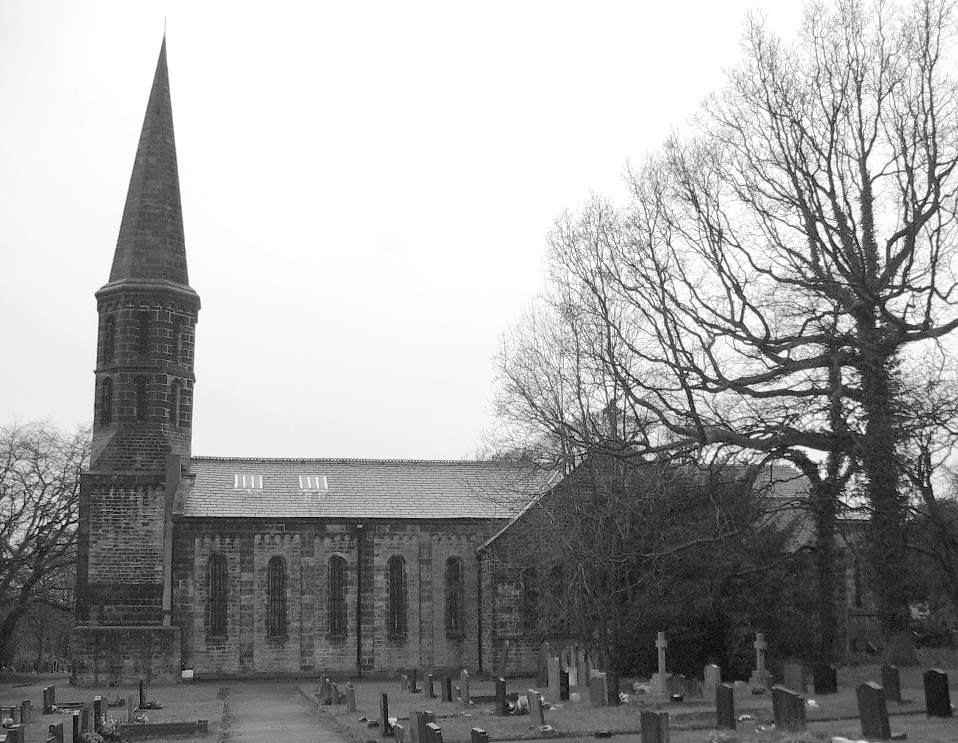
St Saviour's Church, Cuerden
St Saviour's Church is in the village of Cuerden, Lancashire, England. It is an active Anglican parish church in the deanery of Leyland, the archdeaconry...

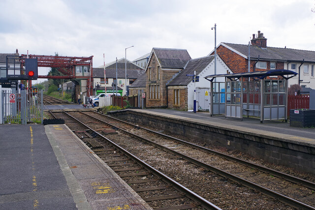
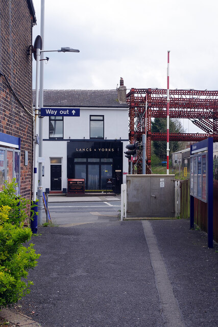
Bamber Bridge railway station
Bamber Bridge railway station serves the village of Bamber Bridge in Lancashire, England. It is situated on the East Lancashire Line and is managed by...

Bamber Bridge F.C.
Bamber Bridge Football Club is a football club based in Bamber Bridge, near Preston, Lancashire, England. They are currently members of the Northern Premier...
Nearby Amenities
Located within 500m of 53.719941,-2.6661976Have you been to Higher Green Wood?
Leave your review of Higher Green Wood below (or comments, questions and feedback).