Crowsnest Wood

Wood, Forest in Gloucestershire Forest of Dean

England

Crowsnest Wood

Newland Almshouses With the magnificent cross in the foreground
Newland Almshouses Credit: Deborah Tilley

Crowsnest Wood is a picturesque woodland located in Gloucestershire, England. Situated near the village of Crowsnest, it covers an area of approximately 150 acres. The wood is a popular destination for nature enthusiasts and hikers due to its tranquil atmosphere and diverse wildlife.

The wood features a variety of tree species, including oak, beech, and birch, which create a dense canopy, providing shelter for numerous bird species like woodpeckers, thrushes, and owls. The forest floor is covered in a thick carpet of ferns, bluebells, and wildflowers, adding to the wood's natural beauty.

There are several well-maintained walking trails that wind through the wood, offering visitors the chance to explore its hidden treasures. These trails are suitable for all levels of hikers, with options for both short leisurely walks and longer, more challenging routes. Along the paths, visitors can admire breathtaking vistas, babbling brooks, and occasional wildlife sightings.

Crowsnest Wood is also known for its historical significance. It is believed to have been a part of the ancient Forest of Dean and has remnants of charcoal platforms and iron ore pits, indicating past industrial activity. The wood's rich history and natural beauty make it an ideal destination for those with an interest in both heritage and nature.

Facilities in the area include a small car park, picnic areas, and informative signage providing visitors with insights into the wood's history and ecology. Crowsnest Wood offers a peaceful retreat for nature lovers and history enthusiasts alike, inviting them to immerse themselves in its enchanting surroundings.

If you have any feedback on the listing, please let us know in the comments section below.

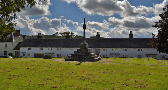
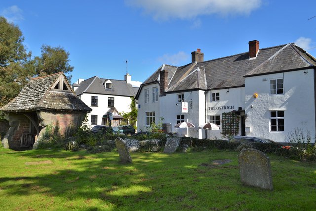
Crowsnest Wood Images

Images are sourced within 2km of 51.796754/-2.6375439 or Grid Reference SO5611. Thanks to Geograph Open Source API. All images are credited.

Newland Almshouses With the magnificent cross in the foreground
Newland Almshouses
With the magnificent cross in the foreground
The Ostrich, Newland An ancient inn from the 17th century. Many of the occupants of the centuries old graves opposite could well have drunk there!
The Ostrich, Newland
An ancient inn from the 17th century. Many of the occupants of the centuries old graves opposite could well have drunk there!
Newland Parish Church The 'cathedral of the forest'
Newland Parish Church
The 'cathedral of the forest'
Junction of Tufthorn Avenue and Old Station Way, Coleford The sign alongside the B4228 Old Station Way on the right shows ½ (mile) to the town centre, 
7 to Monmouth, 13 to Ross-on-Wye and 21 to Gloucester.
Junction of Tufthorn Avenue and Old Station Way, Coleford
The sign alongside the B4228 Old Station Way on the right shows ½ (mile) to the town centre, 7 to Monmouth, 13 to Ross-on-Wye and 21 to Gloucester.
Foundation stone at the Lucozade Ribena Suntory factory Dr Vernon Charley (1906-76) was born in Blakeney <a href="https://www.geograph.org.uk/gridref/SO6707">SO6707</a> and studied Chemistry at Bristol University.  Whilst working at the university's agriculture and horticulture research station at Long Ashton, he was regularly "borrowed" by the neighbouring soft drinks company H W Carter & Co.  For them he developed the blackcurrant cordial launched as Ribena in 1938.  He was probably instrumental in the choice of Coleford, in his native forest, as the site of Carter's new factory for Ribena after World War Two.  H W Carter was bought by the Beecham group in 1955, subsequently becoming part of GlaxoSmithKline who sold the brand to Suntory of Japan in 2013.  The site still makes Ribena and now Lucozade too.

Vernon Charley was a Baptist lay preacher, organist and often a source of spontaneous fun to those around him.  One of his two children was my mother, Gillian (1934-2017).
Foundation stone at the Lucozade Ribena Suntory factory
Dr Vernon Charley (1906-76) was born in Blakeney SO6707 and studied Chemistry at Bristol University. Whilst working at the university's agriculture and horticulture research station at Long Ashton, he was regularly "borrowed" by the neighbouring soft drinks company H W Carter & Co. For them he developed the blackcurrant cordial launched as Ribena in 1938. He was probably instrumental in the choice of Coleford, in his native forest, as the site of Carter's new factory for Ribena after World War Two. H W Carter was bought by the Beecham group in 1955, subsequently becoming part of GlaxoSmithKline who sold the brand to Suntory of Japan in 2013. The site still makes Ribena and now Lucozade too. Vernon Charley was a Baptist lay preacher, organist and often a source of spontaneous fun to those around him. One of his two children was my mother, Gillian (1934-2017).
Way north out of Newland
Newland churchyard, south side Newland was a failed mediaeval new borough and the way houses face formally on to the churchyard is a remnant of its planning.  The south side, Almshouses Road seen here, is the most formal and also partly screens the grandest view.  The Lecturage on the left, the Jones Almshouses to the right.
Newland churchyard, south side
Newland was a failed mediaeval new borough and the way houses face formally on to the churchyard is a remnant of its planning. The south side, Almshouses Road seen here, is the most formal and also partly screens the grandest view. The Lecturage on the left, the Jones Almshouses to the right.
Newland looking south Past Birchamp Cottage and the Ostrich Inn to the Dower House, most of this range faces the churchyard from the east.
Newland looking south
Past Birchamp Cottage and the Ostrich Inn to the Dower House, most of this range faces the churchyard from the east.
Cottages on the north side of Newland churchyard
Almshouse Road from the churchyard of All Saints, Newland
Churchyard cross at Newland
The Dower House. Newland
All Saints' church, Newland Known as the "cathedral of the Forest"; a large and imposing mediaeval church much restored by William White in the 1860s.
All Saints' church, Newland
Known as the "cathedral of the Forest"; a large and imposing mediaeval church much restored by William White in the 1860s.
Communion rail in All Saints, Newland
The tower of All Saints Church, Newland The tower of All Saints Church, Newland, and Newland House viewed from the south-west.
The tower of All Saints Church, Newland
The tower of All Saints Church, Newland, and Newland House viewed from the south-west.
Newland church Newland church is dedicated to All Saints and is known as the 'Cathedral of the Forest'.  The church dates from circa 1216 and contains a number of memorial tombes with effigies.  The church is Grade I listed, see: <span class="nowrap"><a title="https://historicengland.org.uk/listing/the-list/list-entry/1212955" rel="nofollow ugc noopener" href="https://historicengland.org.uk/listing/the-list/list-entry/1212955">Link</a><img style="margin-left:2px;" alt="External link" title="External link - shift click to open in new window" src="https://s1.geograph.org.uk/img/external.png" width="10" height="10"/></span>
Newland church
Newland church is dedicated to All Saints and is known as the 'Cathedral of the Forest'. The church dates from circa 1216 and contains a number of memorial tombes with effigies. The church is Grade I listed, see: LinkExternal link
Cross, Newland churchyard A medieval cross in Newland churchyard restored in the memory of Margaret Birt in 1864.
Cross, Newland churchyard
A medieval cross in Newland churchyard restored in the memory of Margaret Birt in 1864.
Cross, Newland churchyard A medieval cross in Newland churchyard restored in the memory of Margaret Birt in 1864.
Cross, Newland churchyard
A medieval cross in Newland churchyard restored in the memory of Margaret Birt in 1864.
Show me another place!

Crowsnest Wood is located at Grid Ref: SO5611 (Lat: 51.796754, Lng: -2.6375439)

Administrative County: Gloucestershire

District: Forest of Dean

Police Authority: Gloucestershire

What 3 Words

///choppy.connects.disengage. Near Coleford, Gloucestershire

Related Wikis

Dingle Wood

Dingle Wood (grid reference SO562115) is a 9.95-hectare (24.6-acre) biological Site of Special Scientific Interest in Gloucestershire, notified in 1972...

Stowfield quarry

Stowfield quarry is a quarry in the Forest of Dean about 2 km south of Staunton, near Coleford, Gloucestershire, England. == References ==

Whitecliff Quarry

Whitecliff Quarry was a quarry in the Forest of Dean, Gloucestershire, England. It was served by the Coleford Railway from 1883 to 1917 and the Severn...

Newland railway station

Newland railway station, also known as Cherry Orchard railway station, served the village of Newland, Gloucestershire, England, from 1883 to 1917 on the...

Related Videos

Forest Holiday Vlog Forest of Dean

A Forest Holiday vlog in the forest of dean. With everything that has happened with lockdown and travel bans etc, I decided to ...

Forest Holidays - Forest of Dean - Dec 2020 - Travel and Day 1

Welcome to out first vlog. We were meant to be going to Disneyland Paris, however this was cancelled due to COVID-19 so we ...

Spring time in the Wye Valley

TBR walk on 20th Match 2022 led by Kelly.

Nearby Amenities

Located within 500m of 51.796754,-2.6375439
Bus Stop
Greenacres
Bus: yes
Naptan AtcoCode: 1600GL4129
Naptan Bearing: SW
Naptan BusStopType: CUS
Naptan CommonName: Greenacres
Naptan NaptanCode: gloadjpw
Naptan Street: Scowles Rd
Naptan Verified: no
Public Transport: platform
Source: naptan_import
Lat/Long: 51.7956535/-2.6368974
Bus Stop
Greenacres
Bus: yes
Naptan AtcoCode: 1600GL4130
Naptan Bearing: NE
Naptan BusStopType: CUS
Naptan CommonName: Greenacres
Naptan Indicator: Opp
Naptan NaptanCode: gloadjpt
Naptan Street: Scowles Rd
Naptan Verified: no
Public Transport: platform
Source: naptan_import
Lat/Long: 51.7956701/-2.6371441
Give Way
Direction: backward
Lat/Long: 51.7930201/-2.6415341
The data included in this document is from www.openstreetmap.org. The data is made available under ODbL.

Have you been to Crowsnest Wood?

Leave your review of Crowsnest Wood below (or comments, questions and feedback).