Wigan Lodge Wood
Wood, Forest in Lancashire South Ribble
England
Wigan Lodge Wood

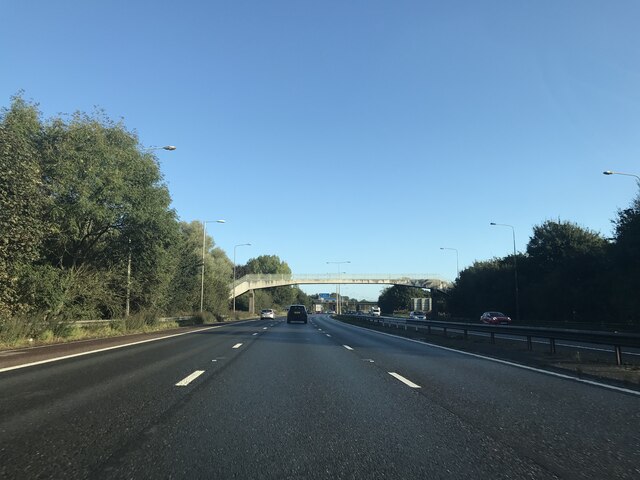
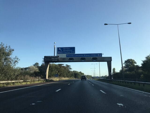
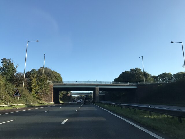
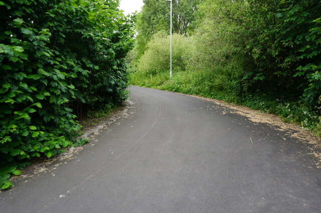
Wigan Lodge Wood is a picturesque woodland area located in Lancashire, England. Covering an area of approximately 50 hectares, this woodland is a haven of natural beauty and tranquility. It is situated near the town of Wigan, just a short distance from the M6 motorway.
The wood is predominantly made up of deciduous trees including oak, ash, beech, and birch, creating a diverse and vibrant ecosystem. The forest floor is covered with a rich carpet of wildflowers, ferns, and mosses, providing a habitat for a variety of small mammals, birds, and insects.
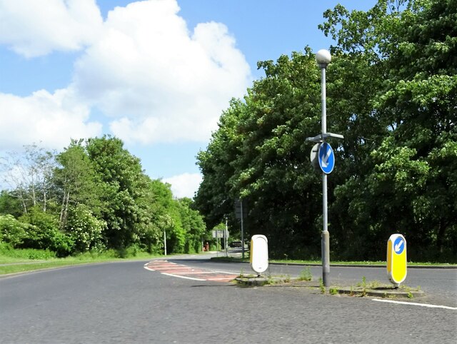
Wigan Lodge Wood is a popular destination for nature lovers and outdoor enthusiasts. It offers several walking trails and paths, allowing visitors to explore the wood at their leisure. The woodland is easily accessible and has ample parking facilities for visitors.
The wood also holds historical significance, as it is believed to have been a hunting ground for the local aristocracy in the past. Remnants of ancient structures and artefacts have been discovered in the area, adding to its cultural value.
In addition to its natural beauty, Wigan Lodge Wood is also a valuable resource for the local community. It provides a peaceful retreat for residents, offering opportunities for recreation, exercise, and education. Local schools often organize field trips to the wood, allowing children to learn about nature and the environment.
Overall, Wigan Lodge Wood is a cherished natural asset, offering a serene escape from the hustle and bustle of everyday life. Its diverse flora and fauna, combined with its accessibility and historical significance, make it a beloved destination for both locals and tourists alike.
If you have any feedback on the listing, please let us know in the comments section below.
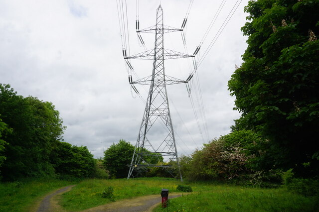
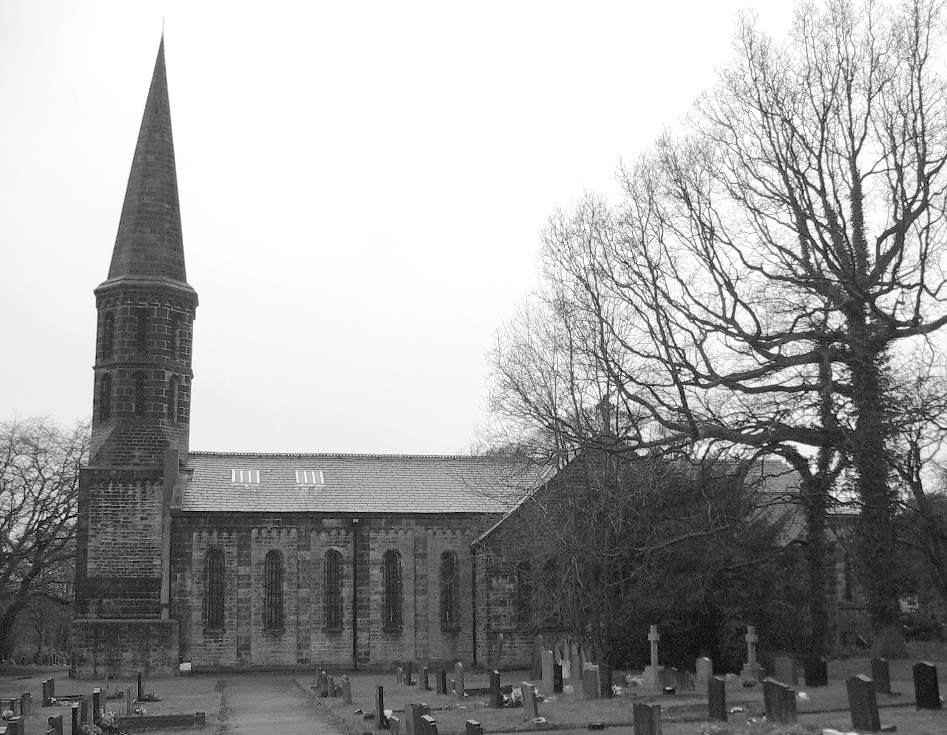
Wigan Lodge Wood Images
Images are sourced within 2km of 53.713821/-2.6676918 or Grid Reference SD5624. Thanks to Geograph Open Source API. All images are credited.


Wigan Lodge Wood is located at Grid Ref: SD5624 (Lat: 53.713821, Lng: -2.6676918)
Administrative County: Lancashire
District: South Ribble
Police Authority: Lancashire
What 3 Words
///ports.chase.tuned. Near Clayton-le-Woods, Lancashire
Related Wikis

Cuerden Hall
Cuerden Hall is a country mansion in the village of Cuerden near Preston, Lancashire, England. It is a Grade II* listed building. The Hall was formerly...
St Saviour's Church, Cuerden
St Saviour's Church is in the village of Cuerden, Lancashire, England. It is an active Anglican parish church in the deanery of Leyland, the archdeaconry...

Battle of Bamber Bridge
The Battle of Bamber Bridge is the name given to an outbreak of racial violence involving American soldiers stationed in the village of Bamber Bridge,...
Cuerden
Cuerden is a village and civil parish of the Borough of Chorley, in Lancashire, England. It is situated between Bamber Bridge and Leyland, and had a population...

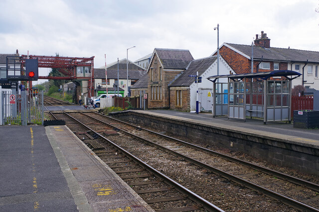
Bamber Bridge railway station
Bamber Bridge railway station serves the village of Bamber Bridge in Lancashire, England. It is situated on the East Lancashire Line and is managed by...

Bamber Bridge F.C.
Bamber Bridge Football Club is a football club based in Bamber Bridge, near Preston, Lancashire, England. They are currently members of the Northern Premier...
Blackburn Rovers W.F.C.
Blackburn Rovers Women Football Club is a women's football club based in Bamber Bridge, Lancashire, England, that competes in the Women’s Championship...

Bamber Bridge
Bamber Bridge is a large village in Lancashire, England, 3 miles (5 km) south-east of Preston, in the borough of South Ribble. The name derives from the...
Nearby Amenities
Located within 500m of 53.713821,-2.6676918Have you been to Wigan Lodge Wood?
Leave your review of Wigan Lodge Wood below (or comments, questions and feedback).