Wigan Lodge Wood
Wood, Forest in Lancashire Chorley
England
Wigan Lodge Wood

Wigan Lodge Wood is a magnificent woodland located in Lancashire, England. Covering an area of approximately 100 acres, it is a haven for nature enthusiasts and a popular destination for outdoor activities. The wood is situated near the town of Wigan, just a short distance from the bustling city of Manchester.
This ancient woodland is characterized by its diverse range of flora and fauna. Towering oak, beech, and birch trees dominate the landscape, creating a dense canopy that provides shade and shelter for a variety of wildlife. The forest floor is adorned with a beautiful carpet of bluebells and wildflowers during the spring months, adding to the charm of the wood.
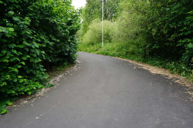
Wigan Lodge Wood offers an array of recreational opportunities for visitors. There are several well-maintained walking trails that wind through the wood, allowing visitors to explore its hidden treasures. Birdwatchers will be delighted to spot numerous species of birds, including woodpeckers, owls, and songbirds.
The wood also boasts a small lake, where visitors can enjoy fishing or simply relax and take in the serene surroundings. The tranquil atmosphere of Wigan Lodge Wood makes it an ideal location for picnics and family outings.
In addition to its natural beauty, the wood has a rich history. It is rumored to have been a hiding place for local bandits during the 17th century, adding an air of mystery to the already enchanting woodland.
Wigan Lodge Wood is a true gem of Lancashire, offering a peaceful retreat from the hustle and bustle of everyday life. Whether you are a nature lover, history enthusiast, or simply seeking a tranquil escape, this woodland is a must-visit destination.
If you have any feedback on the listing, please let us know in the comments section below.
Wigan Lodge Wood Images
Images are sourced within 2km of 53.711518/-2.6680189 or Grid Reference SD5624. Thanks to Geograph Open Source API. All images are credited.


Wigan Lodge Wood is located at Grid Ref: SD5624 (Lat: 53.711518, Lng: -2.6680189)
Administrative County: Lancashire
District: Chorley
Police Authority: Lancashire
What 3 Words
///lots.glee.secure. Near Clayton-le-Woods, Lancashire
Related Wikis

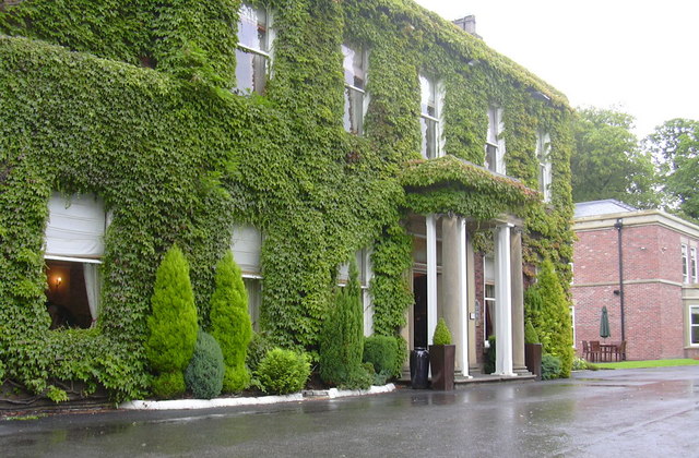
Cuerden Hall
Cuerden Hall is a country mansion in the village of Cuerden near Preston, Lancashire, England. It is a Grade II* listed building. The Hall was formerly...
Cuerden
Cuerden is a village and civil parish of the Borough of Chorley, in Lancashire, England. It is situated between Bamber Bridge and Leyland, and had a population...
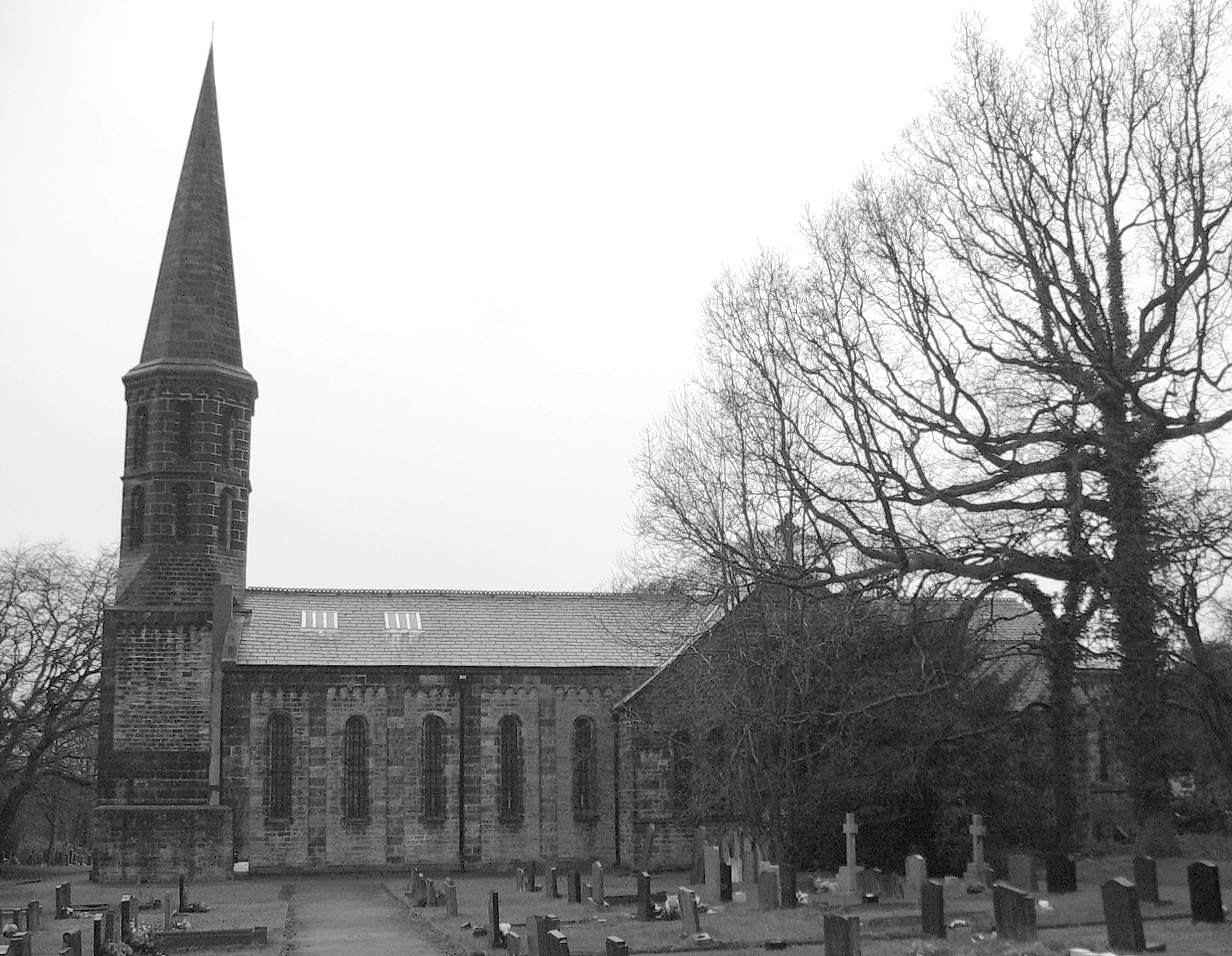
St Saviour's Church, Cuerden
St Saviour's Church is in the village of Cuerden, Lancashire, England. It is an active Anglican parish church in the deanery of Leyland, the archdeaconry...

Battle of Bamber Bridge
The Battle of Bamber Bridge is the name given to an outbreak of racial violence involving American soldiers stationed in the village of Bamber Bridge,...
Farington
Farington is a village and civil parish in the South Ribble local government district of Lancashire, England. The population of the civil parish at the...

Central Lancashire
Central Lancashire is an area of Lancashire, England. == Central Lancashire New Town == Central Lancashire New Town was the largest of the post-war English...

Clayton-le-Woods
Clayton-le-Woods (Commonly shortened to Clayton) is a large village and civil parish of the Borough of Chorley, in Lancashire, England. According to the...

Bamber Bridge railway station
Bamber Bridge railway station serves the village of Bamber Bridge in Lancashire, England. It is situated on the East Lancashire Line and is managed by...
Nearby Amenities
Located within 500m of 53.711518,-2.6680189Have you been to Wigan Lodge Wood?
Leave your review of Wigan Lodge Wood below (or comments, questions and feedback).