Elnup Wood
Wood, Forest in Lancashire
England
Elnup Wood

Elnup Wood is a picturesque woodland located in Lancashire, England. Situated near the village of Wood, it covers an area of approximately 30 acres. The wood is known for its natural beauty, diverse flora and fauna, and tranquil atmosphere.
Elnup Wood is primarily composed of broadleaf trees, including oak, beech, and birch, which provide a dense canopy that filters sunlight and creates a cool, shaded environment. The woodland floor is covered in a carpet of wildflowers, such as bluebells and wood anemones, which bloom in the spring, adding vibrant colors to the landscape.
The wood is home to a variety of wildlife, including deer, foxes, badgers, and a wide array of bird species. Birdwatchers can expect to spot woodpeckers, buzzards, and owls amongst the treetops. The wood also contains a small pond, attracting amphibians like frogs and newts.
Elnup Wood is a popular destination for nature enthusiasts, walkers, and photographers. Several well-marked trails wind through the wood, allowing visitors to explore its beauty at their own pace. The peaceful environment offers a respite from the hustle and bustle of everyday life, making it an ideal spot for relaxation and contemplation.
The wood is managed by a local conservation group, which ensures that the delicate ecosystem is protected and maintained. Visitors are encouraged to respect the natural environment and adhere to any guidelines or restrictions in place to preserve the woodland's beauty for future generations.
If you have any feedback on the listing, please let us know in the comments section below.
Elnup Wood Images
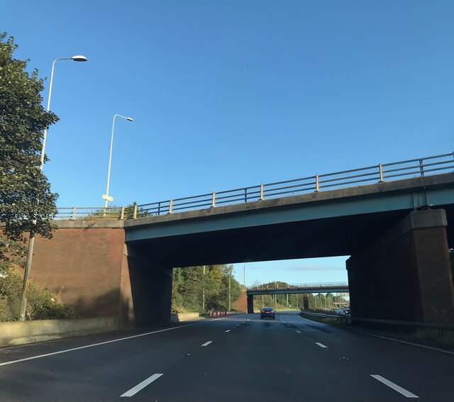
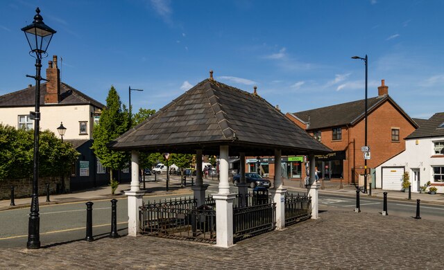
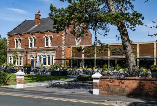
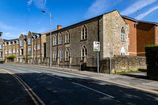
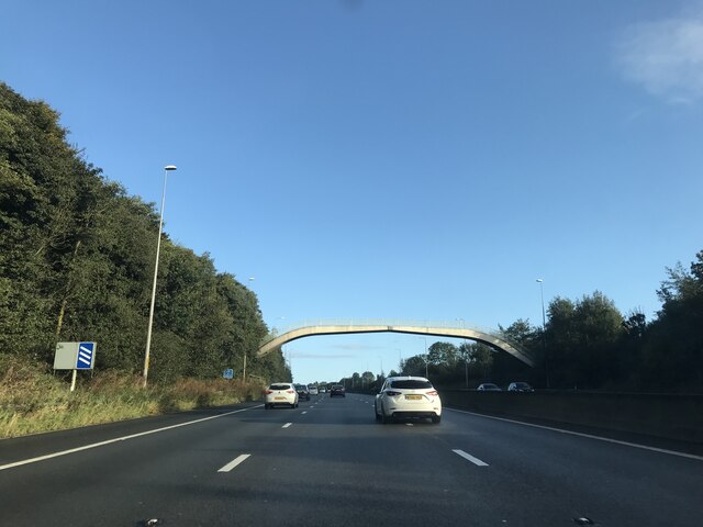
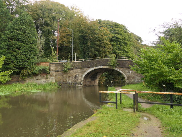
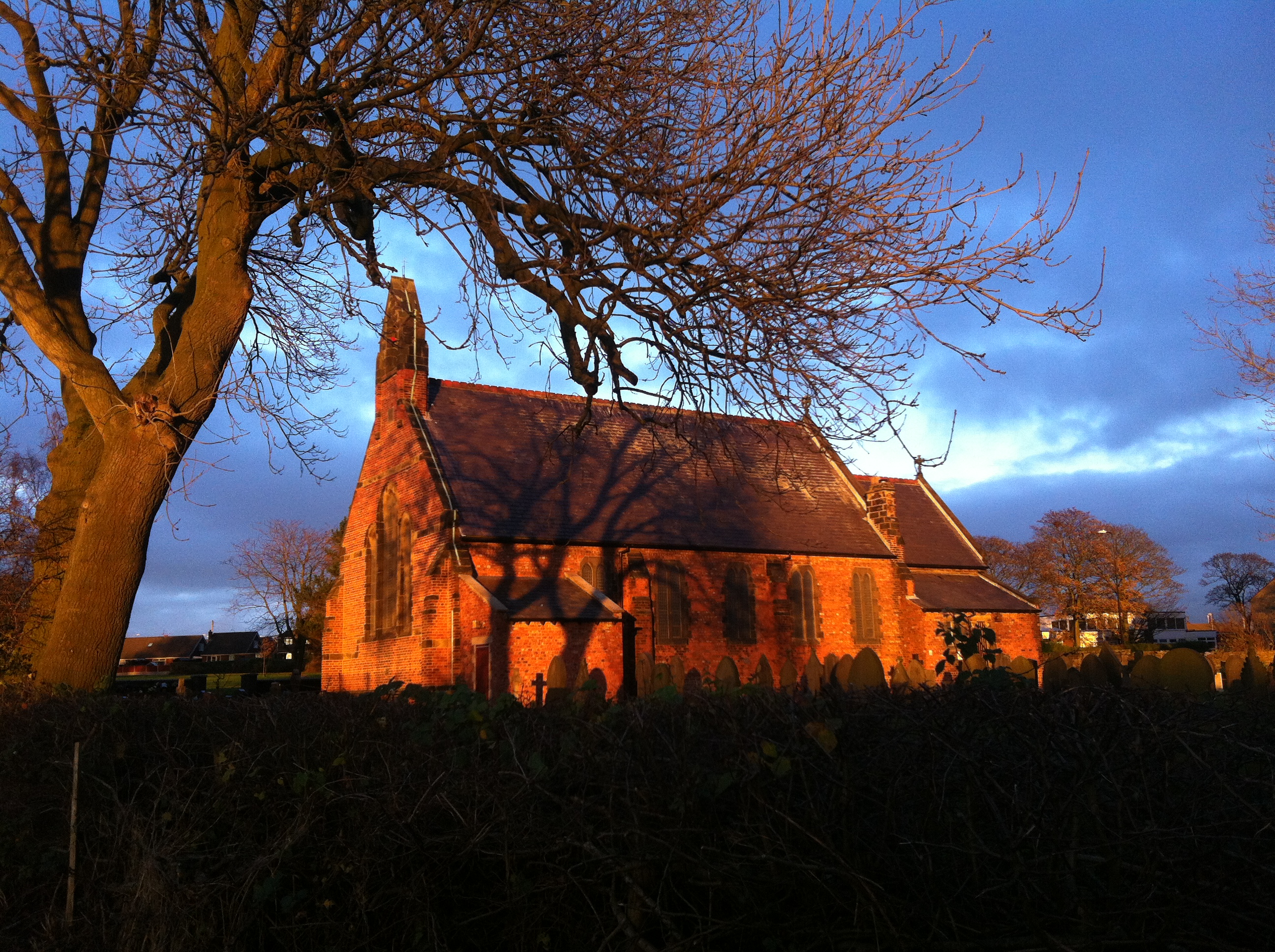
Images are sourced within 2km of 53.57358/-2.6795995 or Grid Reference SD5508. Thanks to Geograph Open Source API. All images are credited.


Elnup Wood is located at Grid Ref: SD5508 (Lat: 53.57358, Lng: -2.6795995)
Unitary Authority: Wigan
Police Authority: Greater Manchester
What 3 Words
///generally.scream.warnings. Near Shevington, Manchester
Nearby Locations
Related Wikis
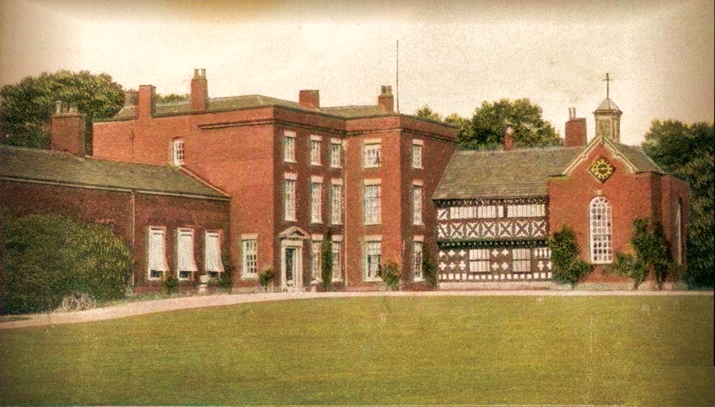
Standish Hall
Standish Hall was an estate and country house, built in 1573, owned by the Standish family in the south-west of Standish, Wigan. No standing structures...
Shevington
Shevington is a village and civil parish within the Metropolitan Borough of Wigan, Greater Manchester, England. The population of the Wigan ward called...
Shevington High School
Shevington High School is a coeducational secondary school located in Shevington in the Metropolitan Borough of Wigan in Greater Manchester, England.It...
Standish, Greater Manchester
Standish is a village in the Metropolitan Borough of Wigan, Greater Manchester, England. Within the boundaries of the historic county of Lancashire, it...
Nearby Amenities
Located within 500m of 53.57358,-2.6795995Have you been to Elnup Wood?
Leave your review of Elnup Wood below (or comments, questions and feedback).