Compton Abdale

Settlement in Gloucestershire Cotswold

England

Compton Abdale

The A40 heading west near Hazleton
The A40 heading west near Hazleton Credit: Steve Daniels

Compton Abdale is a small village located in the county of Gloucestershire, England. Situated in the heart of the Cotswolds, it is nestled amongst picturesque rolling hills and offers a tranquil and idyllic setting for its residents and visitors alike.

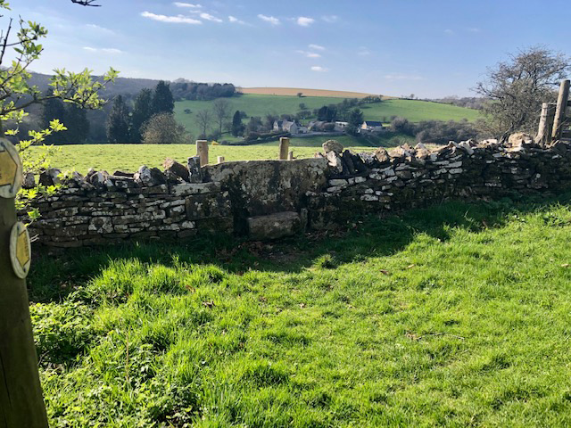
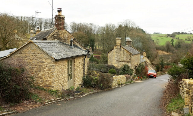
The village is characterized by its charming stone cottages, many of which date back to the 17th and 18th centuries, showcasing the architectural heritage of the region. Compton Abdale is surrounded by lush green meadows, dotted with grazing sheep, providing a quintessential English countryside experience.

Although small in size, the village boasts a strong sense of community, with a close-knit population that actively participates in local events and initiatives. The village church, St. Oswald's, is a focal point of the community and holds regular services and events throughout the year.

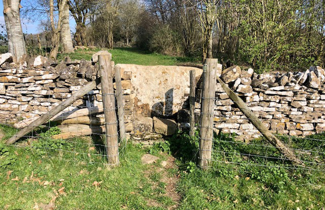
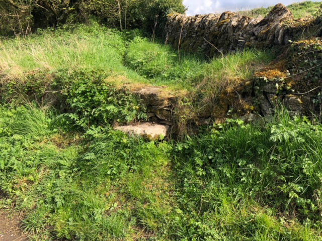
Compton Abdale is also renowned for its natural beauty and is a haven for outdoor enthusiasts. The village is crisscrossed by a network of footpaths and bridleways, offering ample opportunities for walking, hiking, and horse riding. The nearby Cotswold Way, a long-distance trail, allows visitors to explore the stunning surrounding landscapes.

While Compton Abdale may lack the amenities of larger towns, it benefits from its proximity to nearby settlements such as Cheltenham and Cirencester, where residents can access a wider range of services and facilities.

Overall, Compton Abdale is a charming and picturesque village, perfect for those seeking a peaceful and rural retreat amidst the beauty of the Cotswolds.

If you have any feedback on the listing, please let us know in the comments section below.

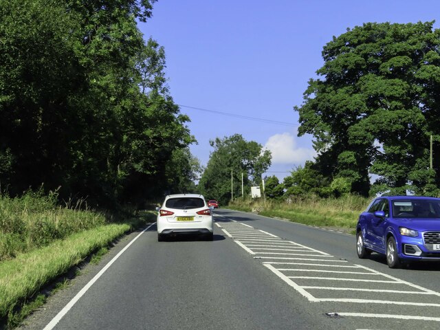
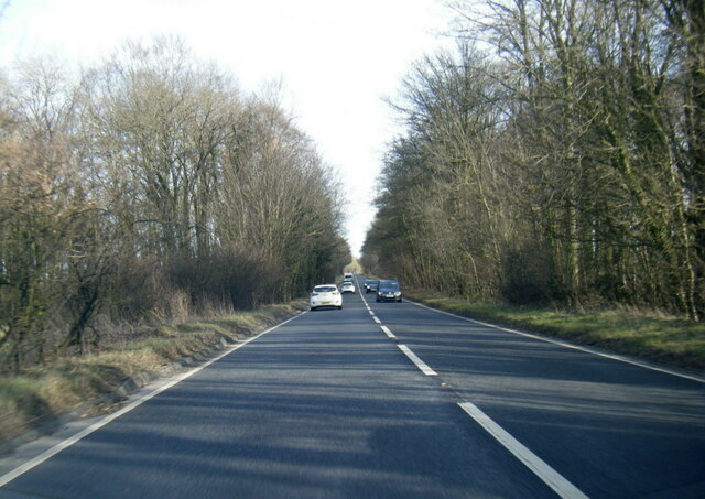
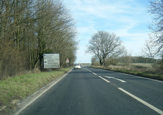
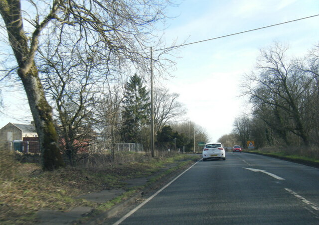
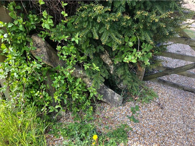
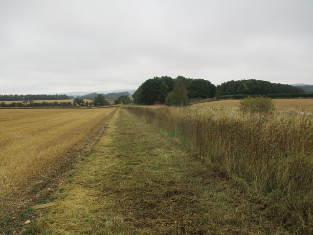
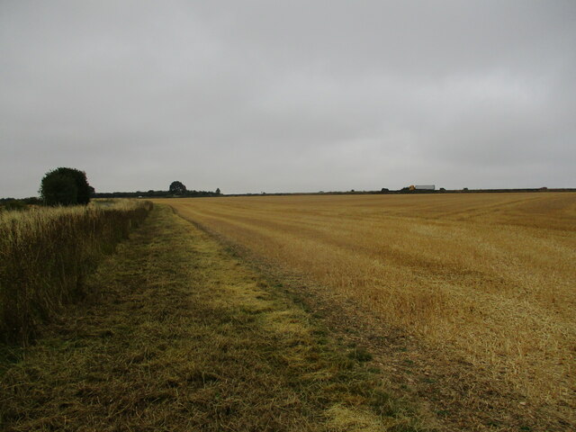
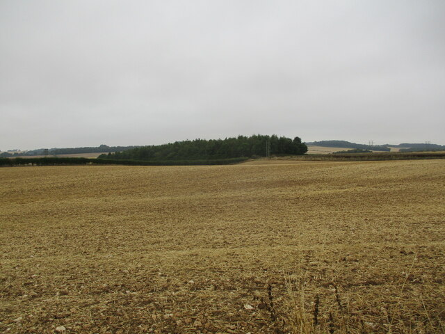
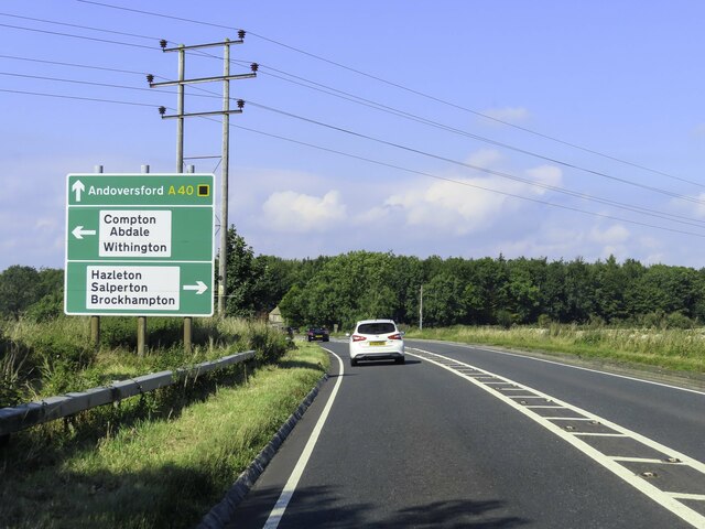
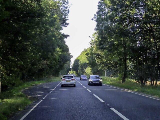
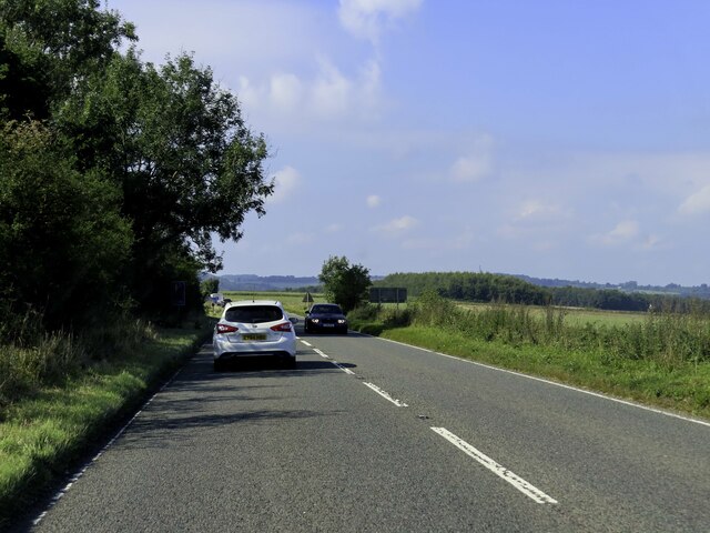
Compton Abdale Images

Images are sourced within 2km of 51.847806/-1.913547 or Grid Reference SP0616. Thanks to Geograph Open Source API. All images are credited.

The A40 heading west near Hazleton
A40 near Codrington Plantation
A40 north of Compton Abdale
A40 at Garniche Farm
Stone Stile, Compton Abdale To the left of a gate on Gloucestershire footpath KCN4, adjacent to Brentwood Farm. Not much left of the "Fallen Idle". The property to the right (Wheelhouse) has similar slabs that might have come from the original stile.
Stone Stile, Compton Abdale
To the left of a gate on Gloucestershire footpath KCN4, adjacent to Brentwood Farm. Not much left of the "Fallen Idle". The property to the right (Wheelhouse) has similar slabs that might have come from the original stile.
Stubble field near Shipton Oliffe
Stubble field near Shipton Oliffe Traffic on the A40 can be seen in the distance.
Stubble field near Shipton Oliffe
Traffic on the A40 can be seen in the distance.
Stubble field near Shipton Oliffe
Road sign by the A40
Lay-by next to the A40 heading west
The A40 heading west
Stone Stile, Compton Abdale On Gloucestershire footpaths KCN2 & KCN2, NW of the village. This view looks West from a wooded area, the view back is <a href="https://www.geograph.org.uk/photo/7288114">SP0516 : Stone Stile, Compton Abdale</a>.
Stone Stile, Compton Abdale
On Gloucestershire footpaths KCN2 & KCN2, NW of the village. This view looks West from a wooded area, the view back is SP0516 : Stone Stile, Compton Abdale.
Stone Stile, Compton Abdale On Gloucestershire footpaths KCN2 & KCN2, NW of the village. This view looks NE into a wooded area, the view out is <a href="https://www.geograph.org.uk/photo/7288113">SP0516 : Stone Stile, Compton Abdale</a>.
Stone Stile, Compton Abdale
On Gloucestershire footpaths KCN2 & KCN2, NW of the village. This view looks NE into a wooded area, the view out is SP0516 : Stone Stile, Compton Abdale.
Stone Stile, Compton Abdale Not on a registered footpath, opposite South Wold Farm.
Stone Stile, Compton Abdale
Not on a registered footpath, opposite South Wold Farm.
Cottages, Compton Abdale This attractive hamlet of Cotswold stone cottages is up the hill from the village centre.
Cottages, Compton Abdale
This attractive hamlet of Cotswold stone cottages is up the hill from the village centre.
Corn mill, Compton Abdale "Former barn/corn mill, now house and open-fronted store. Late C18- mid C19 ... Mill ceased production in late 1940's or early 1950's" <span class="nowrap"><a title="https://historicengland.org.uk/listing/the-list/list-entry/1153482?section=official-list-entry" rel="nofollow ugc noopener" href="https://historicengland.org.uk/listing/the-list/list-entry/1153482?section=official-list-entry">Link</a><img style="margin-left:2px;" alt="External link" title="External link - shift click to open in new window" src="https://s1.geograph.org.uk/img/external.png" width="10" height="10"/></span> .
Corn mill, Compton Abdale
"Former barn/corn mill, now house and open-fronted store. Late C18- mid C19 ... Mill ceased production in late 1940's or early 1950's" LinkExternal link .
Path, Compton Abdale Compton Abdale footpath 4 descends to meet the lane east of the village centre. On the extreme left is <a href="https://www.geograph.org.uk/photo/7390838">SP0616 : Corn mill, Compton Abdale</a>.
Path, Compton Abdale
Compton Abdale footpath 4 descends to meet the lane east of the village centre. On the extreme left is SP0616 : Corn mill, Compton Abdale.
Show me another place!

Compton Abdale is located at Grid Ref: SP0616 (Lat: 51.847806, Lng: -1.913547)

Administrative County: Gloucestershire

District: Cotswold

Police Authority: Gloucestershire

What 3 Words

///tidying.broth.swooning. Near Westfield, Gloucestershire

Related Wikis

Compton Abdale

Compton Abdale is a small village in Gloucestershire, England on the Roman "White Way" which ran North from Cirencester ("Corinium.") The village lies...

Hazleton, Gloucestershire

Hazleton or Haselton is a village and civil parish in the Cotswold District of Gloucestershire, England. The population of the civil parish in the 2011...

Hazleton Abbey

Hazleton Abbey was an abbey at Hazleton in Gloucestershire, England. It was formed in the 12th century. Monks from Kingswood Abbey bought the land after...

Chedworth Nature Reserve

Chedworth Nature Reserve (grid reference SP048143) is a 6-hectare (15-acre) nature reserve in Gloucestershire. The site is listed in the 'Cotswold District...

Withington railway station (Gloucestershire)

Withington railway station was on the Midland and South Western Junction Railway serving the village of Withington in Gloucestershire. The station opened...

Shipton, Gloucestershire

The twin villages of Shipton Oliffe and Shipton Solars are situated just 7 miles (11 km) from Cheltenham. The River Coln, just a small stream at this point...

Church of St Oswald, Shipton Oliffe

The Anglican Church of St Oswald at Shipton Oliffe in Shipton in the Cotswold District of Gloucestershire, England was built in the 12th century. It is...

Church of St Michael, Withington

The Anglican Church of St Michael at Withington in the Cotswold District of Gloucestershire, England was built in the 12th century. It is a grade I listed...

Nearby Amenities

Located within 500m of 51.847806,-1.913547
Compton Abdale
Is In: Gloucestershire, England, UK
Place: village
Lat/Long: 51.8485455/-1.9141273
Bus Stop
Pike Hill Rise
Bus: yes
Naptan AtcoCode: 1600GL1427
Naptan Bearing: SW
Naptan CommonName: Pike Hill Rise
Naptan NaptanCode: glogatwp
Naptan Street: White Way
Naptan Verified: no
Public Transport: platform
Source: naptan_import
Lat/Long: 51.8510212/-1.9096522
Bus Stop
Pike Hill Rise
Bus: yes
Naptan AtcoCode: 1600GL1428
Naptan Bearing: NE
Naptan CommonName: Pike Hill Rise
Naptan Indicator: Opp
Naptan NaptanCode: glogatwm
Naptan Street: White Way
Naptan Verified: no
Public Transport: platform
Source: naptan_import
Lat/Long: 51.851201/-1.9096664
Bus Stop
St Oswald's Church
Bus: yes
Naptan AtcoCode: 1600GLC567
Naptan Bearing: SW
Naptan CommonName: St Oswald's Church
Naptan Indicator: Opp
Naptan NaptanCode: glogatpj
Naptan Street: White Way
Naptan Verified: no
Public Transport: platform
Source: naptan_import
Lat/Long: 51.8480927/-1.9131423
Bus Stop
St Oswald's Church
Bus: yes
Naptan AtcoCode: 1600GLC568
Naptan Bearing: NE
Naptan CommonName: St Oswald's Church
Naptan NaptanCode: glogatpt
Naptan Street: White Way
Naptan Verified: no
Public Transport: platform
Source: naptan_import
Lat/Long: 51.8482904/-1.9130838
HE Ref: 1341080
Description: CHEST TOMB
Historic: tomb
Lat/Long: 51.8478637/-1.914916
HE Ref: 1089881
Description: CROCODILE WATER SPOUT
Historic: yes
Listed Status: Grade II
Lat/Long: 51.8475589/-1.9135489
HE Ref: 1153462
Description: JOSIAH DYER MONUMENT
Historic: tomb
Lat/Long: 51.8478442/-1.9148556
HE Ref: 1089880
Description: JOHN WILSON MONUMENT
Historic: tomb
Lat/Long: 51.8478261/-1.9148653
Telephone
Defibrillator
Booth: K6
Covered: booth
Defibrillator Location: inside old red phone box, White Way, Compton Abdale
Emergency: defibrillator
Man Made: telephone_box
Lat/Long: 51.8482081/-1.9130267
Crossing
Lat/Long: 51.8480493/-1.9112914
The data included in this document is from www.openstreetmap.org. The data is made available under ODbL.

Have you been to Compton Abdale?

Leave your review of Compton Abdale below (or comments, questions and feedback).