Compton Abdale
Civil Parish in Gloucestershire Cotswold
England
Compton Abdale
Compton Abdale is a civil parish located in the Cotswold District of Gloucestershire, England. It is a small, rural village situated in the picturesque Cotswold hills, approximately 10 miles southeast of Cheltenham. The parish encompasses an area of about 1.5 square miles and is home to a population of around 150 residents.
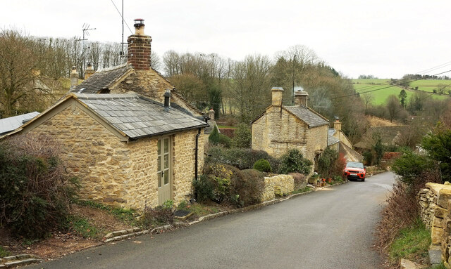
The village itself is characterized by its charming, traditional Cotswold stone buildings, which give it a quintessential English countryside feel. Compton Abdale is surrounded by rolling hills and beautiful countryside, making it an ideal location for outdoor enthusiasts and nature lovers. The village is nestled in a valley, with the River Coln running through its heart, adding to its scenic beauty.
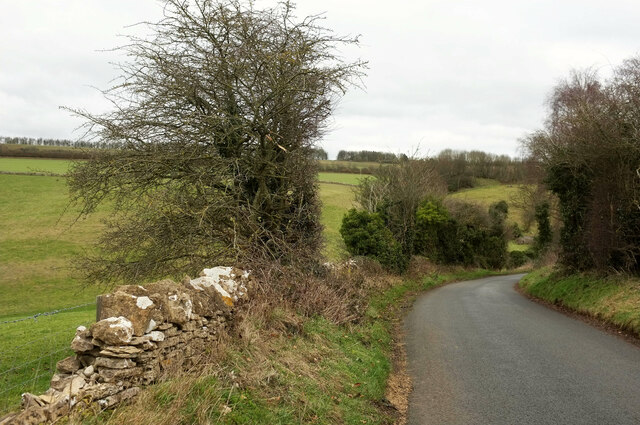
The parish is primarily agricultural, with farming being the predominant industry. The fertile land and favorable climate make it suitable for various types of farming, including livestock and arable farming. The village is also known for its picturesque walking trails, which attract tourists and locals alike.
Compton Abdale is a close-knit community, with a small village church, St. Oswald's, serving as the focal point. The church dates back to the 12th century and is a significant historical and architectural landmark.
While Compton Abdale is a tranquil and serene village, it benefits from its proximity to larger towns and cities. Cheltenham, with its shopping, dining, and cultural amenities, is just a short drive away, providing residents with easy access to urban amenities while still enjoying the tranquility of village life.
If you have any feedback on the listing, please let us know in the comments section below.
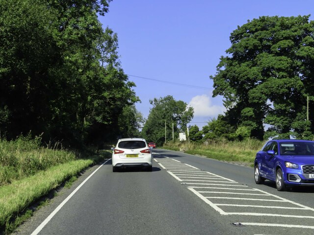
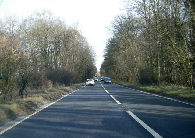
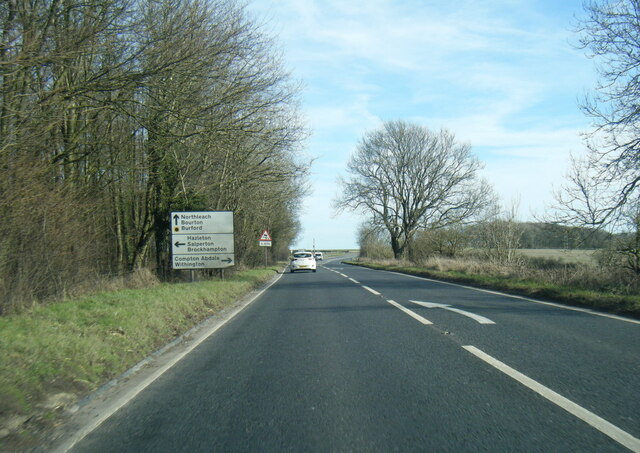
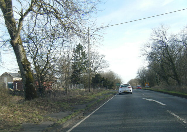
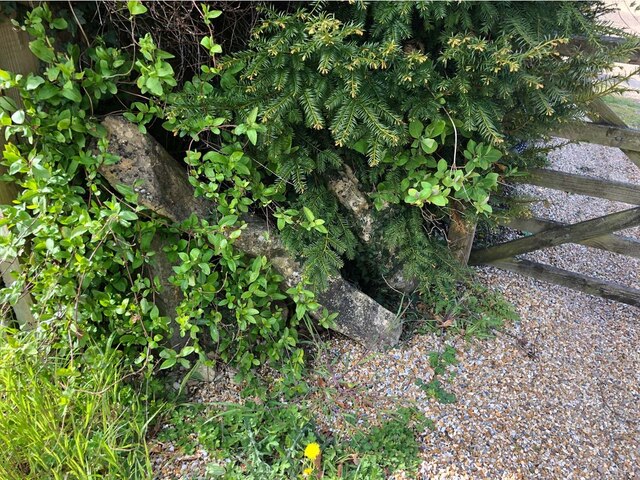
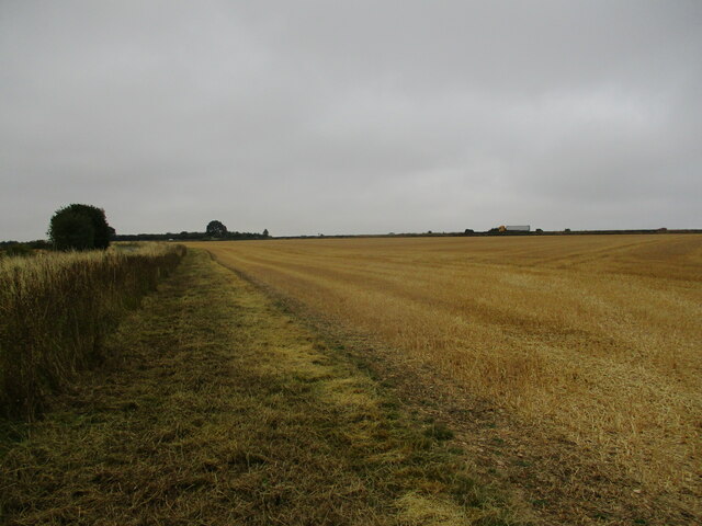
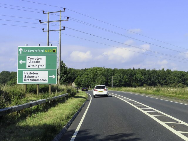
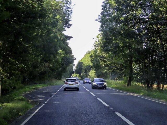
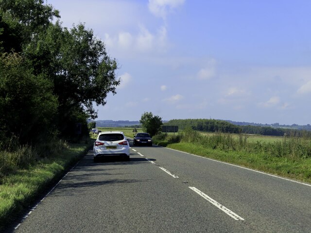
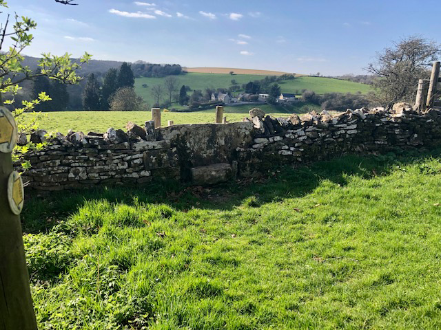
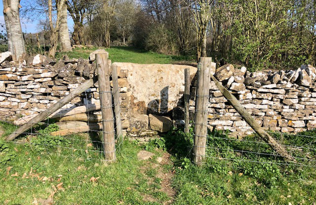
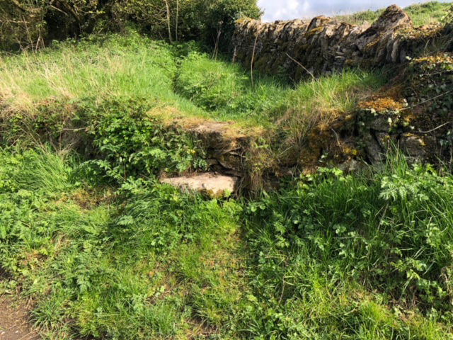
Compton Abdale Images
Images are sourced within 2km of 51.845379/-1.913711 or Grid Reference SP0616. Thanks to Geograph Open Source API. All images are credited.


Compton Abdale is located at Grid Ref: SP0616 (Lat: 51.845379, Lng: -1.913711)
Administrative County: Gloucestershire
District: Cotswold
Police Authority: Gloucestershire
What 3 Words
///cried.still.variation. Near Westfield, Gloucestershire
Nearby Locations
Related Wikis

Compton Abdale
Compton Abdale is a small village in Gloucestershire, England on the Roman "White Way" which ran North from Cirencester ("Corinium.") The village lies...

Chedworth Nature Reserve
Chedworth Nature Reserve (grid reference SP048143) is a 6-hectare (15-acre) nature reserve in Gloucestershire. The site is listed in the 'Cotswold District...

Hazleton, Gloucestershire
Hazleton or Haselton is a village and civil parish in the Cotswold District of Gloucestershire, England. The population of the civil parish in the 2011...

Hazleton Abbey
Hazleton Abbey was an abbey at Hazleton in Gloucestershire, England. It was formed in the 12th century. Monks from Kingswood Abbey bought the land after...

Withington railway station (Gloucestershire)
Withington railway station was on the Midland and South Western Junction Railway serving the village of Withington in Gloucestershire. The station opened...
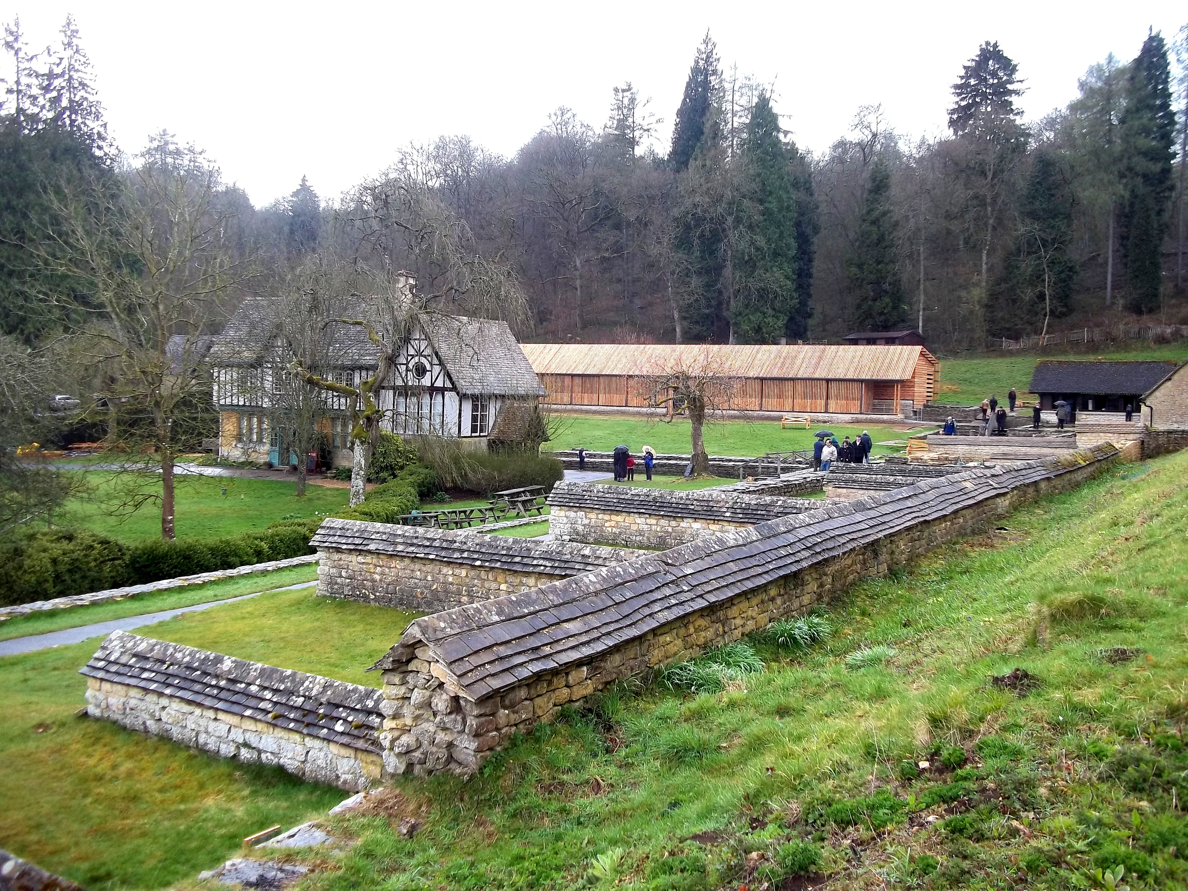
Chedworth Roman Villa
Chedworth Roman Villa is located near Chedworth, Gloucestershire, England and is a scheduled monument. It is one of the largest and most elaborate Roman...
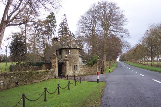
Stowell Park
Stowell Park Estate is a 6,000-acre (24 km2) historic agricultural and sporting estate in the Cotswold Hills, Gloucestershire, England. The estate includes...

Church of St Michael, Withington
The Anglican Church of St Michael at Withington in the Cotswold District of Gloucestershire, England was built in the 12th century. It is a grade I listed...
Nearby Amenities
Located within 500m of 51.845379,-1.913711Have you been to Compton Abdale?
Leave your review of Compton Abdale below (or comments, questions and feedback).