Abbey Wood

Wood, Forest in Westmorland Eden

England

Abbey Wood

Main Street (A6), Shap Looking north-westward.
Main Street (A6), Shap Credit: Peter Wood

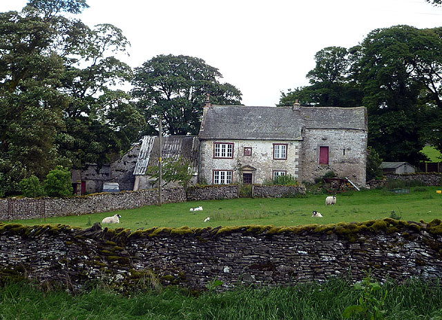
Abbey Wood, Westmorland, also known as Wood or Forest, is a small village located in the county of Cumbria, England. It is situated in the picturesque Lake District National Park, surrounded by rolling hills and lush green forests. The village is nestled between the towns of Kendal and Penrith, providing easy access to amenities and services.

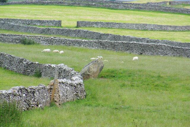
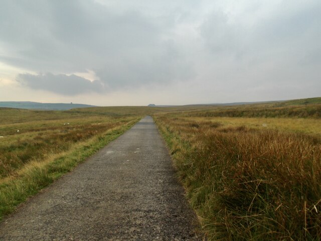
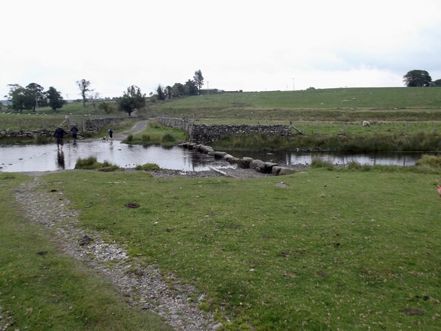
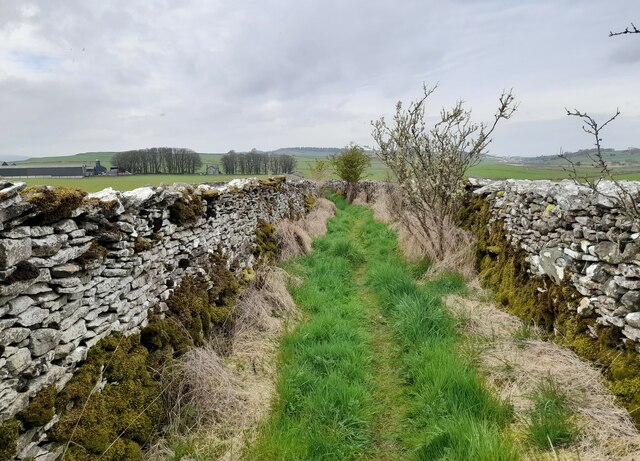
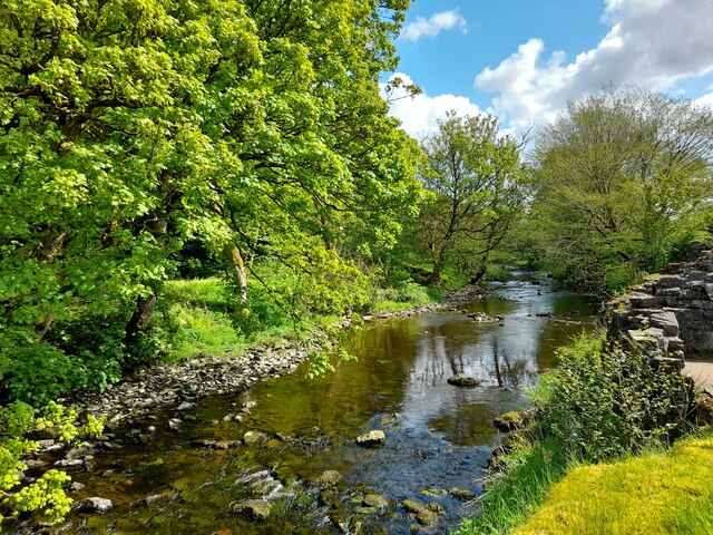
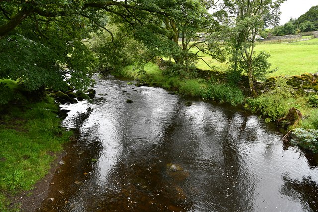
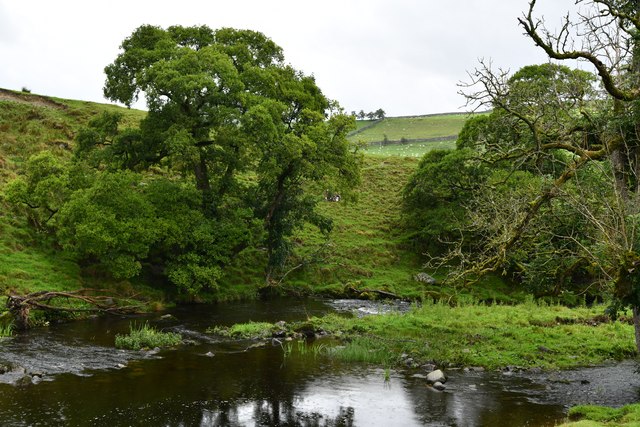
Abbey Wood is renowned for its natural beauty and tranquility. The area is abundant in woodlands, with dense forests of oak, beech, and pine trees. These woodlands offer a perfect setting for leisurely walks, cycling, and birdwatching. The village is also home to several nature reserves and wildlife sanctuaries, showcasing the diverse flora and fauna of the region.

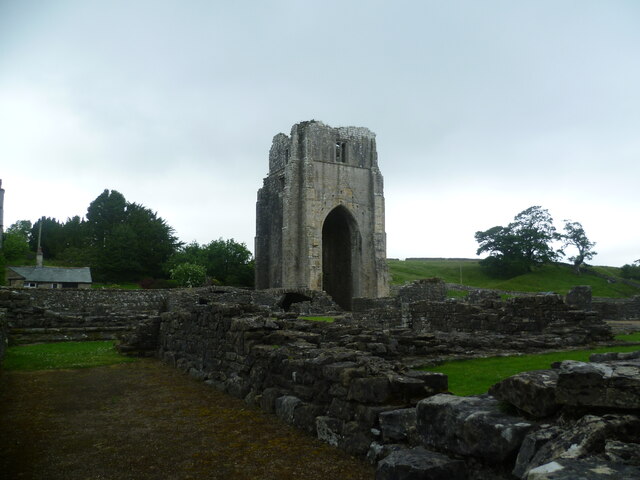
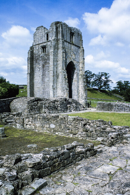
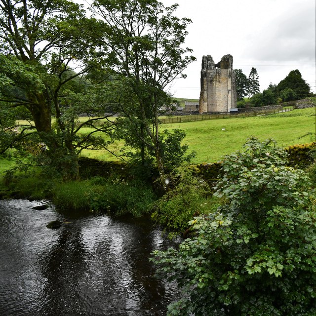
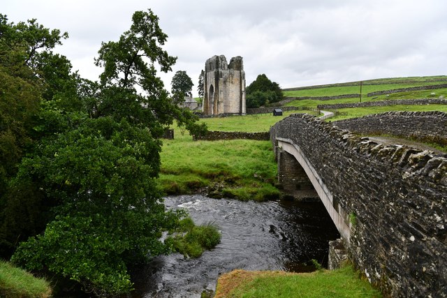
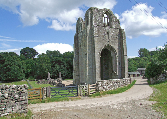
Historically, Abbey Wood is known for its connection to the medieval period. The remains of a Cistercian abbey, which dates back to the 12th century, can be found in the village. The abbey was a significant religious site and played a crucial role in the local community. Today, visitors can explore the ruins and learn about the abbey's history through guided tours and informational displays.

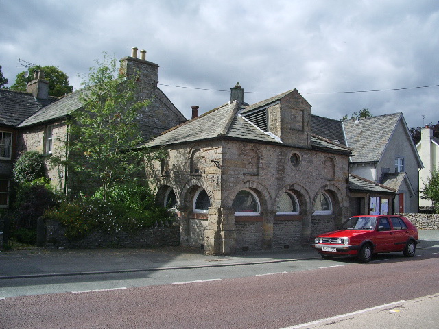
Abbey Wood offers a peaceful and idyllic lifestyle, attracting residents and tourists seeking a rural retreat. The village has a close-knit community, with a handful of local amenities, including a village hall, a church, and a small convenience store. For more extensive shopping and dining options, nearby towns provide a wider range of facilities.

In conclusion, Abbey Wood, Westmorland, is a charming village nestled in the heart of the Lake District National Park. With its stunning natural surroundings, historical significance, and welcoming community, it offers a delightful escape for those seeking a tranquil countryside experience.

If you have any feedback on the listing, please let us know in the comments section below.
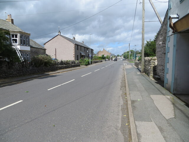
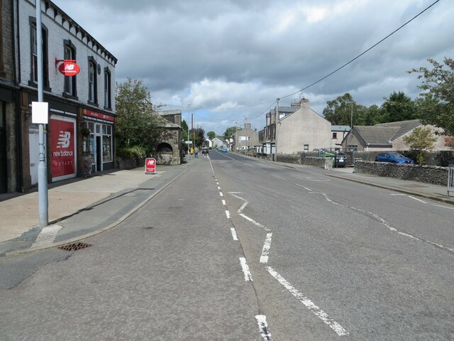
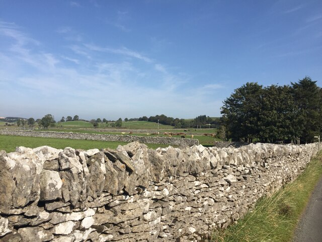
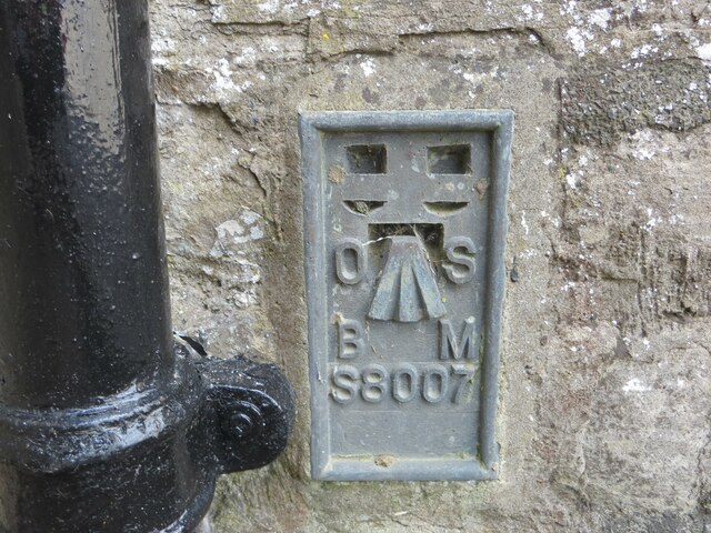
Abbey Wood Images

Images are sourced within 2km of 54.529986/-2.698594 or Grid Reference NY5415. Thanks to Geograph Open Source API. All images are credited.

Main Street (A6), Shap Looking north-westward.
Main Street (A6), Shap
Looking north-westward.
Main Street (A6), Shap Looking north-westward.
Main Street (A6), Shap
Looking north-westward.
Drystone walls, Shap This one on Keld Lane, on the way to Shep Abbery
Drystone walls, Shap
This one on Keld Lane, on the way to Shep Abbery
Ordnance Survey Flush Bracket S8007 This bracket can be found on the wall of the Library building in Shap.
The recorded details give a height of 254.0234 metres above sea level.
For more details see : <span class="nowrap"><a title="https://www.bench-marks.org.uk/bm816" rel="nofollow ugc noopener" href="https://www.bench-marks.org.uk/bm816">Link</a><img style="margin-left:2px;" alt="External link" title="External link - shift click to open in new window" src="https://s1.geograph.org.uk/img/external.png" width="10" height="10"/></span>
Ordnance Survey Flush Bracket S8007
This bracket can be found on the wall of the Library building in Shap. The recorded details give a height of 254.0234 metres above sea level. For more details see : LinkExternal link
Aspers Field Stone Viewed from the Goggleby Stone part of the Shap Stone Alignment
Aspers Field Stone
Viewed from the Goggleby Stone part of the Shap Stone Alignment
Shap Abbey, West Tower Viewed from across the cloister remains
Shap Abbey, West Tower
Viewed from across the cloister remains
Post Box at Shap CA10 45D. Royal Mail list this box as 'Greyhound Inn'.
Post Box at Shap
CA10 45D. Royal Mail list this box as 'Greyhound Inn'.
Southward path on Ralfland Forest A well marked path on the map but rather vague on the ground
Southward path on Ralfland Forest
A well marked path on the map but rather vague on the ground
The water board road
Stepping stones on the River Lowther The grid line runs right through the crossing. The large stones look easy to use but are slippery when wet as I discovered to my discomfort.
Stepping stones on the River Lowther
The grid line runs right through the crossing. The large stones look easy to use but are slippery when wet as I discovered to my discomfort.
West tower at Shap Abbey The substantial remains of the West tower at the Premonstratensian Abbey at Shap. The view is from the south-east over ruined walls and the grass of the cloister.
West tower at Shap Abbey
The substantial remains of the West tower at the Premonstratensian Abbey at Shap. The view is from the south-east over ruined walls and the grass of the cloister.
Footpath near Shap Footpath near Shap.
Footpath near Shap
Footpath near Shap.
The Goggleby Stone Viewed from the east and looking towards the hills above Haweswater.
The Goggleby Stone
Viewed from the east and looking towards the hills above Haweswater.
River Lowther By the ruins of Shap Abbey.
River Lowther
By the ruins of Shap Abbey.
Shap Rural: River Lowther from Abbey Bridge
Shap Rural: Shap Abbey from Abbey Bridge
Shap Rural: Shap Abbey
Show me another place!

Abbey Wood is located at Grid Ref: NY5415 (Lat: 54.529986, Lng: -2.698594)

Administrative County: Cumbria

District: Eden

Police Authority: Cumbria

What 3 Words

///wicket.tweezers.trumped. Near Shap, Cumbria

Nearby Locations

Abbey Wood Skirtgill Wood

Related Wikis

Shap Abbey

Shap Abbey was a religious house of the Premonstratensian order of Canons regular situated on the western bank of the River Lowther in the civil parish...

Keld, Cumbria

Keld (or Keilde) is a hamlet in the English county of Cumbria. It lies within the civil parish of Shap. On the banks of the River Lowther it is a mile...

Shap

Shap is a village and civil parish located among fells and isolated dales in Westmorland and Furness, Cumbria, England. The village is in the historic...

Shap railway station

Shap railway station served the village of Shap, Westmorland (now in Cumbria), England for over 120 years. == Operations == The station was situated on...

Shap Stone Avenue

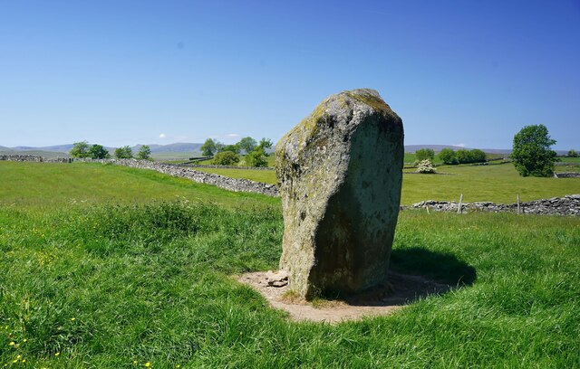
The Shap Stone Avenue (an unofficial name) is a megalithic complex near Shap in Cumbria, England, comprising stone circles, a two-mile avenue (actually...

Bomby

Bomby is a village in Cumbria, England. Bomby village consists only of one farm house. The farm is mostly known for its specific potatoes, the Kind Edward...

Shap Rural

Shap Rural is a very large, but sparsely populated, civil parish in the Eden district of Cumbria in England, covering part of the Lake District National...

Hardendale

Hardendale is a hamlet in the parish of Shap Rural in the Eden District, in the county of Cumbria, England, near Shap and junction 39 of the M6 motorway...

Nearby Amenities

Located within 500m of 54.529986,-2.698594
Access: yes
Barrier: cattle_grid
Foot: yes
Source: survey
Lat/Long: 54.5320049/-2.6964266
Barrier: stile
Foot: yes
Lat/Long: 54.53119/-2.7013632
Barrier: stile
Foot: yes
Lat/Long: 54.5320504/-2.6964402
Shap Abbey
Place: farm
Lat/Long: 54.5299042/-2.6997067
Abbey Park
Place: locality
Lat/Long: 54.5255796/-2.6982771
Private Road
Information: sign
Tourism: information
Lat/Long: 54.5312729/-2.7001129
Abbey Visitors Car Park
Information: sign
Tourism: information
Lat/Long: 54.5313473/-2.7001798
Power: pole
Lat/Long: 54.5342873/-2.6990554
Power: pole
Lat/Long: 54.534031/-2.6981466
Power: pole
Lat/Long: 54.533767/-2.6972431
Power: pole
Lat/Long: 54.5334173/-2.6960323
Power: pole
Lat/Long: 54.5327326/-2.6955893
Power: pole
Lat/Long: 54.5320557/-2.6951812
Power: pole
Lat/Long: 54.5311685/-2.6946066
Power: pole
Lat/Long: 54.5302618/-2.6940482
Power: pole
Lat/Long: 54.5293286/-2.6934736
Power: pole
Lat/Long: 54.5284063/-2.6928749
Power: pole
Lat/Long: 54.527875/-2.692542
Power: pole
Lat/Long: 54.5278929/-2.6941542
Power: pole
Lat/Long: 54.5278968/-2.6954698
Power: pole
Lat/Long: 54.5281983/-2.6969263
Power: pole
Lat/Long: 54.5285403/-2.6985829
Power: pole
Lat/Long: 54.5292406/-2.6994326
Power: pole
Lat/Long: 54.529634/-2.6999374
Power: pole
Lat/Long: 54.5299822/-2.7003723
The data included in this document is from www.openstreetmap.org. The data is made available under ODbL.

Have you been to Abbey Wood?

Leave your review of Abbey Wood below (or comments, questions and feedback).