Skirtgill Wood
Wood, Forest in Westmorland Eden
England
Skirtgill Wood
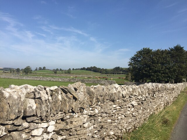
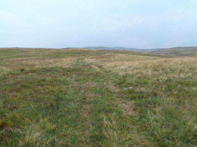
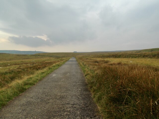
Skirtgill Wood is a picturesque woodland located in the county of Westmorland, nestled in the northwestern region of England. Spread across a sprawling area, this enchanting forest is renowned for its natural beauty and diverse range of flora and fauna.
The wood is characterized by its dense canopy of towering trees, predominantly consisting of oak, beech, and ash. The lush undergrowth is adorned with an array of vibrant wildflowers, creating a vibrant tapestry of colors throughout the seasons. The forest floor is carpeted with a rich layer of moss, providing a soft cushioning underfoot.
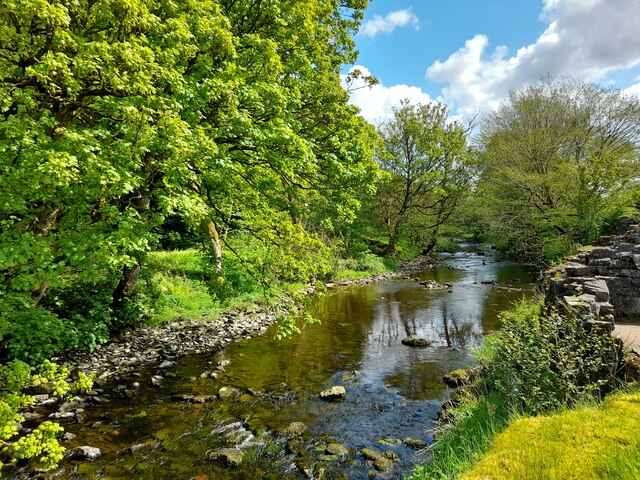
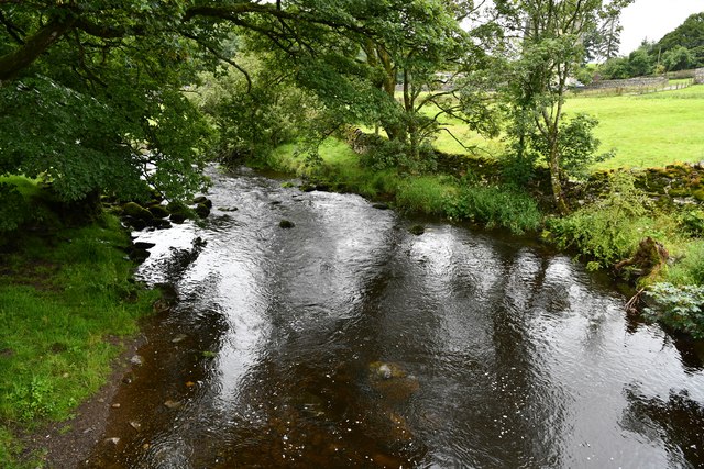
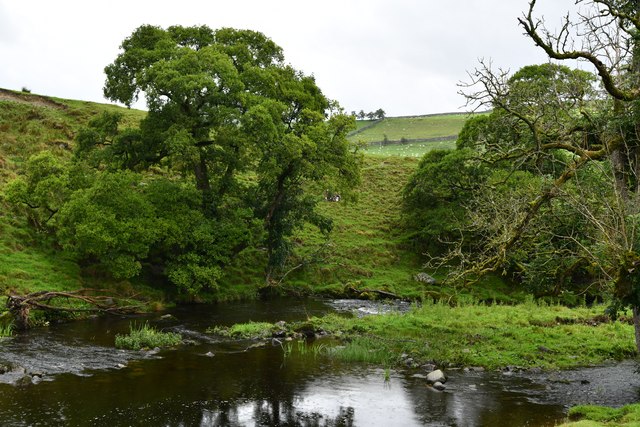
Skirtgill Wood is intersected by a gentle stream, which meanders through the heart of the woodland. The soothing sound of trickling water adds to the tranquility of the surroundings, creating a peaceful ambiance that attracts nature enthusiasts and hikers alike.
The forest is home to a diverse range of wildlife, including deer, foxes, badgers, and a variety of bird species. Observing these creatures in their natural habitat is a common sight for visitors who explore the network of walking trails that wind through the woods.
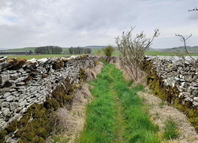
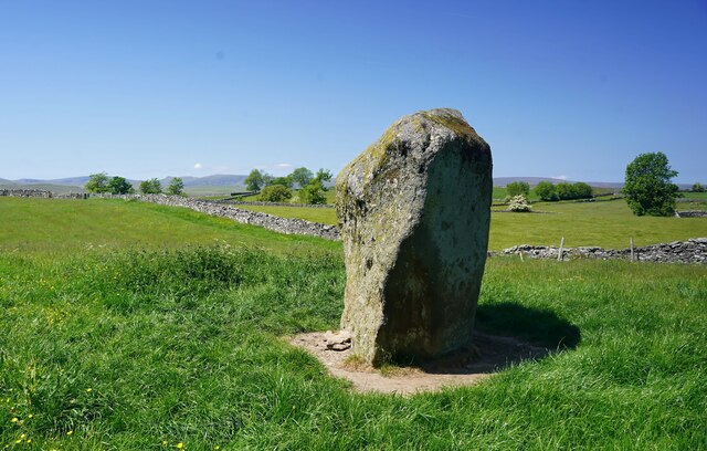
Skirtgill Wood also holds historical significance, with remnants of an ancient stone circle still visible within its boundaries. This archaeological site provides a glimpse into the rich history of the area and adds an element of intrigue to the woodland experience.
Overall, Skirtgill Wood in Westmorland offers a captivating blend of natural beauty, biodiversity, and historical charm, making it a must-visit destination for nature lovers and those seeking a peaceful retreat amidst the splendor of the English countryside.
If you have any feedback on the listing, please let us know in the comments section below.
Skirtgill Wood Images
Images are sourced within 2km of 54.535824/-2.7053547 or Grid Reference NY5415. Thanks to Geograph Open Source API. All images are credited.


Skirtgill Wood is located at Grid Ref: NY5415 (Lat: 54.535824, Lng: -2.7053547)
Administrative County: Cumbria
District: Eden
Police Authority: Cumbria
What 3 Words
///film.chilling.essential. Near Shap, Cumbria
Nearby Locations
Related Wikis

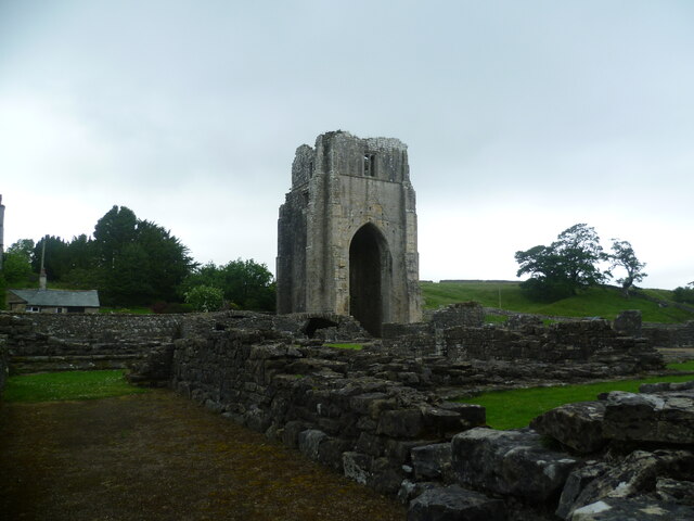
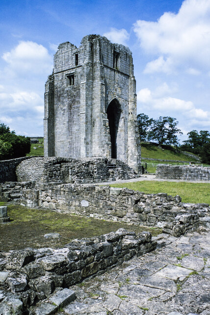
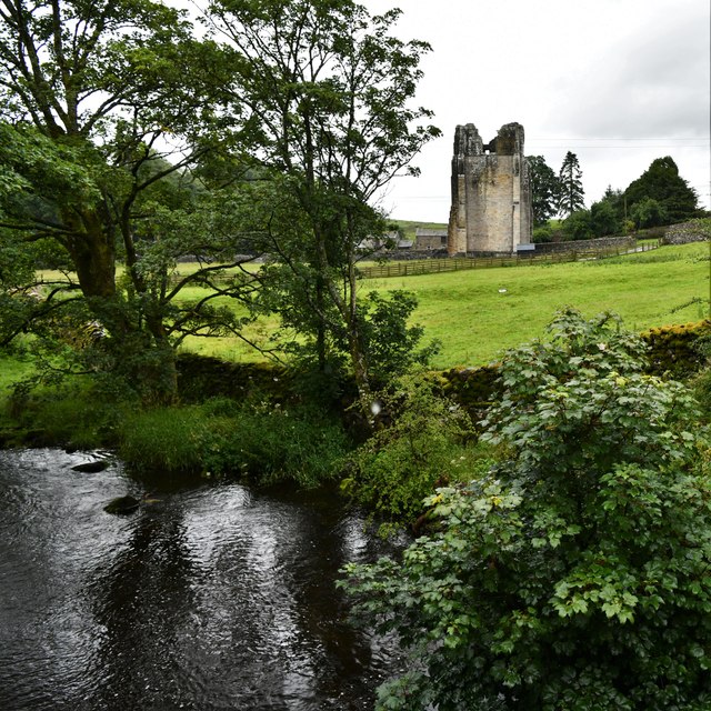
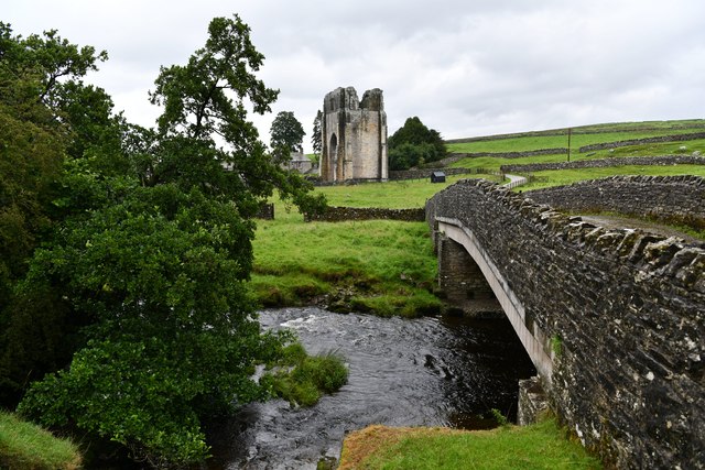
Shap Abbey
Shap Abbey was a religious house of the Premonstratensian order of Canons regular situated on the western bank of the River Lowther in the civil parish...

Keld, Cumbria
Keld (or Keilde) is a hamlet in the English county of Cumbria. It lies within the civil parish of Shap. On the banks of the River Lowther it is a mile...
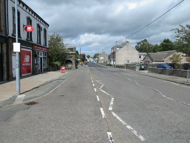
Shap
Shap is a village and civil parish located among fells and isolated dales in Westmorland and Furness, Cumbria, England. The village is in the historic...

Bomby
Bomby is a village in Cumbria, England. Bomby village consists only of one farm house. The farm is mostly known for its specific potatoes, the Kind Edward...
Shap railway station
Shap railway station served the village of Shap, Westmorland (now in Cumbria), England for over 120 years. == Operations == The station was situated on...

Bampton Grange
Bampton Grange is a village in Cumbria, England. Haweswater Beck arises as a stream discharge from Haweswater Reservoir and flows eastward, just north...

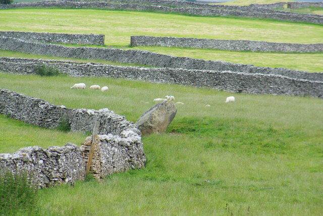
Shap Stone Avenue
The Shap Stone Avenue (an unofficial name) is a megalithic complex near Shap in Cumbria, England, comprising stone circles, a two-mile avenue (actually...

Haweswater Beck
Haweswater Beck flows through Cumbria in England. It arises as a stream discharge from Haweswater Reservoir, at Gill Dubs, just east of the dam, and flows...
Nearby Amenities
Located within 500m of 54.535824,-2.7053547Have you been to Skirtgill Wood?
Leave your review of Skirtgill Wood below (or comments, questions and feedback).