Muddybrow Plantation

Wood, Forest in Westmorland South Lakeland

England

Muddybrow Plantation

Lay-by on the A6 Between Martclose Farm and Hollowgate Farm
Lay-by on the A6 Credit: Eirian Evans

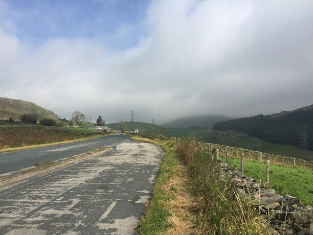
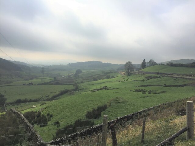
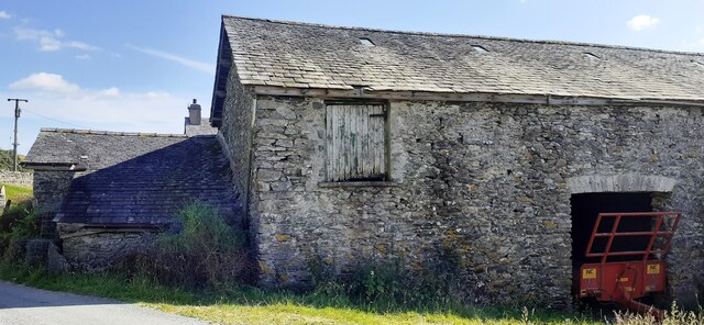
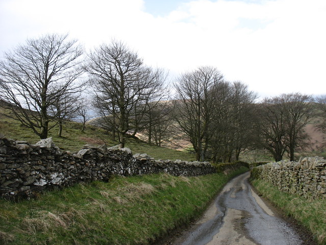
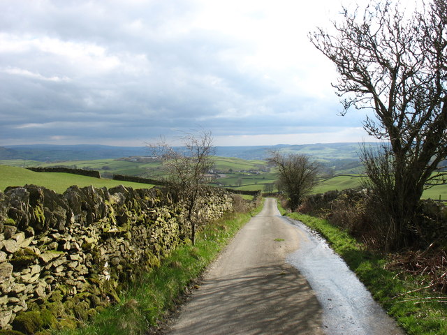
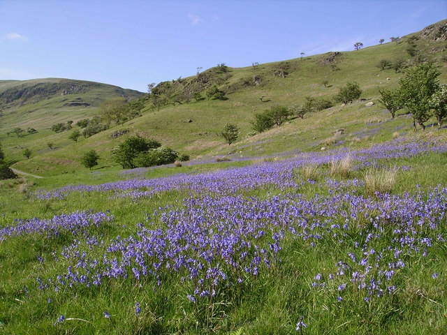
Muddybrow Plantation is a picturesque woodland located in Westmorland, a county in the northwest of England. Situated in the heart of the Lake District, this enchanting plantation is known for its stunning natural beauty and diverse range of flora and fauna.

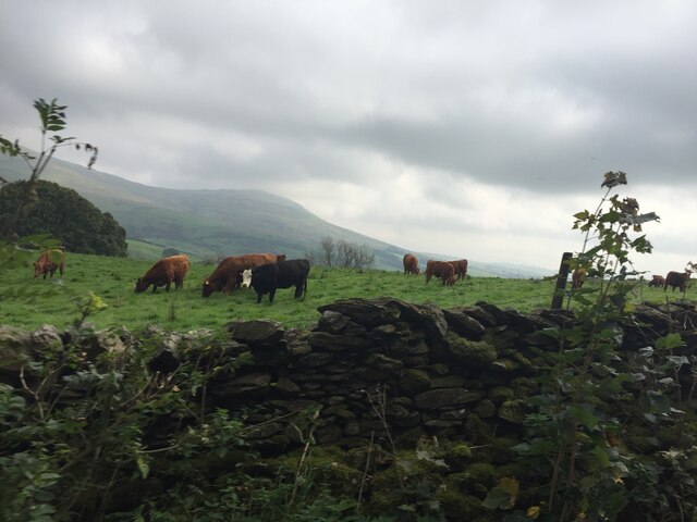
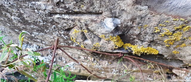
Covering an area of approximately 100 acres, Muddybrow Plantation is predominantly composed of deciduous trees, including oak, birch, and beech, creating a rich and vibrant woodland landscape. The plantation is characterized by its dense vegetation, which provides a haven for numerous species of birds, insects, and small mammals.

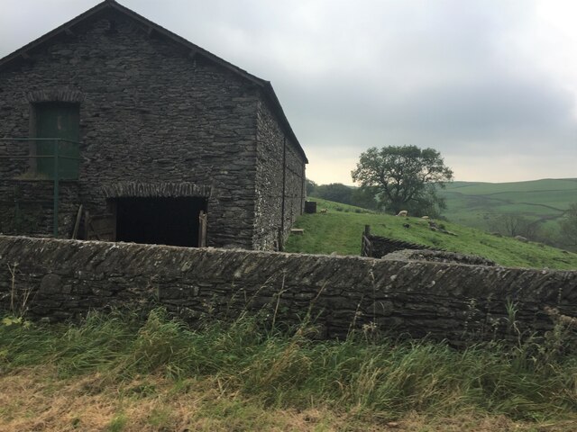
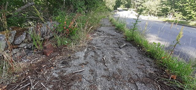
Visitors to Muddybrow Plantation can enjoy a variety of outdoor activities, such as hiking, nature walks, and birdwatching. The plantation boasts an extensive network of well-maintained trails, allowing visitors to explore the woodland and discover its hidden treasures. The peaceful atmosphere and tranquility of the plantation make it an ideal spot for those seeking solace and relaxation in nature.

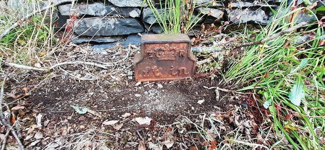
In addition to its natural beauty, Muddybrow Plantation also holds historical significance. The remains of an ancient settlement, dating back to the Roman period, can be found within the plantation. Archaeological finds, including pottery fragments and coins, have been unearthed, shedding light on the area's past.

Overall, Muddybrow Plantation is a captivating destination that offers visitors a chance to immerse themselves in the natural wonders of Westmorland's woodlands. Whether it be for exploration, wildlife observation, or historical interest, this enchanting plantation is sure to leave a lasting impression on all who visit.

If you have any feedback on the listing, please let us know in the comments section below.

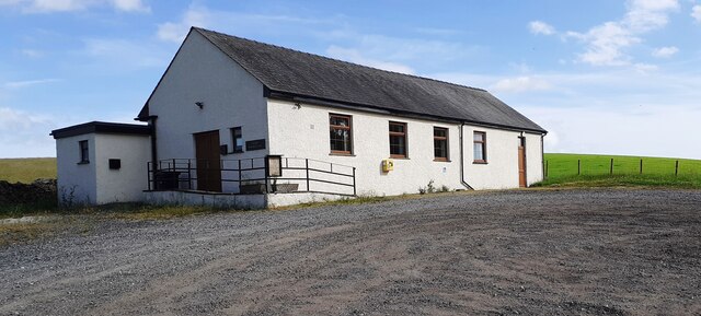
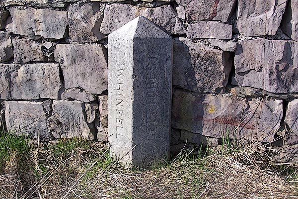
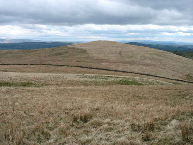
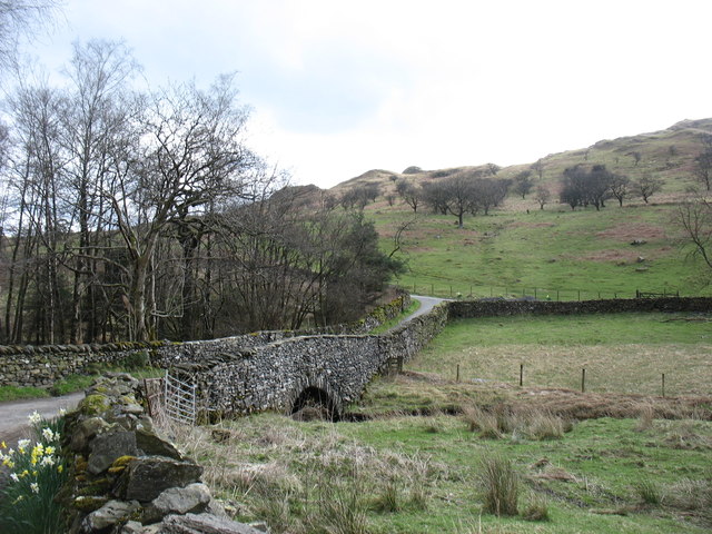
Muddybrow Plantation Images

Images are sourced within 2km of 54.406767/-2.6994706 or Grid Reference NY5401. Thanks to Geograph Open Source API. All images are credited.

Lay-by on the A6 Between Martclose Farm and Hollowgate Farm
Lay-by on the A6
Between Martclose Farm and Hollowgate Farm
Ashstead Beck valley Rough grazing up here
Ashstead Beck valley
Rough grazing up here
Stone barn at Forest Hall
Cattle grazing on rough pasture
Ashstead Beck beside rural road north of Whelpside Ordnance Survey documents indicate that a benchmark levelled at 154.171m above Newlyn Datum was verified in 1954 on a stone at the base of the wall (on the right hand side of the beck) its back face 2.4m from its left hand end
Ashstead Beck beside rural road north of Whelpside
Ordnance Survey documents indicate that a benchmark levelled at 154.171m above Newlyn Datum was verified in 1954 on a stone at the base of the wall (on the right hand side of the beck) its back face 2.4m from its left hand end
Benchmark on stone in wall on NE side of road NW of Harewood Ordnance Survey pivot benchmark levelled at 149.782m above Newlyn Datum verified 1954
Benchmark on stone in wall on NE side of road NW of Harewood
Ordnance Survey pivot benchmark levelled at 149.782m above Newlyn Datum verified 1954
Dry stone wall and gateway on NE side of rural road between Whelpside and Harewood There is an Ordnance Survey benchmark <a href="https://www.geograph.org.uk/photo/7233064">NY5500 : Benchmark on stone in wall on NE side of road NW of Harewood</a> on a light-coloured protruding stone near the base of the wall
Dry stone wall and gateway on NE side of rural road between Whelpside and Harewood
There is an Ordnance Survey benchmark NY5500 : Benchmark on stone in wall on NE side of road NW of Harewood on a light-coloured protruding stone near the base of the wall
Benchmark on barn at Whelpside Ordnance Survey cut mark levelled at 158.126m above Newlyn Datum verified 1954
Benchmark on barn at Whelpside
Ordnance Survey cut mark levelled at 158.126m above Newlyn Datum verified 1954
Farm buildings at Whelpside There is an Ordnance Survey benchmark <a href="https://www.geograph.org.uk/photo/7233223">NY5500 : Benchmark on barn at Whelpside</a> on the left hand side of the large barn at its near corner
Farm buildings at Whelpside
There is an Ordnance Survey benchmark NY5500 : Benchmark on barn at Whelpside on the left hand side of the large barn at its near corner
Edward VII GPO Cable marker on NW side of A6 at Low Jock Scar See <span class="nowrap"><a title="https://gpo-markers.derektp.co.uk/detail?post=635" rel="nofollow ugc noopener" href="https://gpo-markers.derektp.co.uk/detail?post=635">Link</a><img style="margin-left:2px;" alt="External link" title="External link - shift click to open in new window" src="https://s1.geograph.org.uk/img/external.png" width="10" height="10"/></span>
Edward VII GPO Cable marker on NW side of A6 at Low Jock Scar
See LinkExternal link
Looking NE along A6 towards Bannisdale Low Bridge There is a GPO cable marker <a href="https://www.geograph.org.uk/photo/7234157">NY5401 : Edward VII GPO Cable marker on NW side of A6 at Low Jock Scar</a> against the wall at the left hand side of the road
Looking NE along A6 towards Bannisdale Low Bridge
There is a GPO cable marker NY5401 : Edward VII GPO Cable marker on NW side of A6 at Low Jock Scar against the wall at the left hand side of the road
Selside Memorial Hall on SE side of A6
Old Boundary Marker on the A6 Parish Boundary Marker against a drystone wall on the northwest side of the A6 south of Hucks Bridge. Fawcett Forest parish became part of Selside and Fawcett Forest parish in 2020. See also <span class="nowrap"><a title="http://www.geog.port.ac.uk/webmap/thelakes/photos/bnk42.jpg" rel="nofollow ugc noopener" href="http://www.geog.port.ac.uk/webmap/thelakes/photos/bnk42.jpg">Link</a><img style="margin-left:2px;" alt="External link" title="External link - shift click to open in new window" src="https://s1.geograph.org.uk/img/external.png" width="10" height="10"/></span>. In 2009 the stone was reported to have been knocked over in a collision, see <span class="nowrap"><a title="https://www.lakesguides.co.uk/html/lgaz/LK13914.htm" rel="nofollow ugc noopener" href="https://www.lakesguides.co.uk/html/lgaz/LK13914.htm">Link</a><img style="margin-left:2px;" alt="External link" title="External link - shift click to open in new window" src="https://s1.geograph.org.uk/img/external.png" width="10" height="10"/></span>.

Milestone Society National ID: WE_KDSP08pb
Old Boundary Marker on the A6
Parish Boundary Marker against a drystone wall on the northwest side of the A6 south of Hucks Bridge. Fawcett Forest parish became part of Selside and Fawcett Forest parish in 2020. See also LinkExternal link. In 2009 the stone was reported to have been knocked over in a collision, see LinkExternal link. Milestone Society National ID: WE_KDSP08pb
Lamb Pasture The final hill on the Bannisdale Horseshoe.
Lamb Pasture
The final hill on the Bannisdale Horseshoe.
Dryhowe Bridge From here, there is just 2 kilometres of country lane to complete the Bannisdale Horseshoe.
Dryhowe Bridge
From here, there is just 2 kilometres of country lane to complete the Bannisdale Horseshoe.
The lane to Dryhowe At the end of the Bannisdale Horseshoe, one finishes with about 2 kilometres along this lane (but in the opposite direction). From Dryhowe Bridge there is a height gain of about 50 metres - not much, but unwelcome at the end of the day.
The lane to Dryhowe
At the end of the Bannisdale Horseshoe, one finishes with about 2 kilometres along this lane (but in the opposite direction). From Dryhowe Bridge there is a height gain of about 50 metres - not much, but unwelcome at the end of the day.
The lane from Dryhowe The end of the Bannisdale Horseshoe is now only a few minutes away.
The lane from Dryhowe
The end of the Bannisdale Horseshoe is now only a few minutes away.
The Plough Inn, Selside On the A6.
The Plough Inn, Selside
On the A6.
Show me another place!

Muddybrow Plantation is located at Grid Ref: NY5401 (Lat: 54.406767, Lng: -2.6994706)

Administrative County: Cumbria

District: South Lakeland

Police Authority: Cumbria

What 3 Words

///backed.relief.masterpiece. Near Burneside, Cumbria

Related Wikis

Fawcett Forest

Fawcett Forest is a former civil parish, now in the parish of Selside and Fawcett Forest, in the South Lakeland district of the English county of Cumbria...

Lowbridge Estate

The Lowbridge Estate is a country estate of approximately 2000 acres in the Lake District region of England that was in the continuous ownership of the...

Bannisdale Horseshoe

The Bannisdale Horseshoe is an upland area in Cumbria, England, near the eastern boundary of the Lake District National Park, surrounding the valley of...

Borrowdale, Westmorland

Borrowdale is a valley in the English Lake District. It is located in the county of Westmorland, and is sometimes referred to as Westmorland Borrowdale...

Nearby Amenities

Located within 500m of 54.406767,-2.6994706
Design: three-level
Power: tower
Lat/Long: 54.4070366/-2.6921755
Muddy Brow
Ele: 276
Natural: peak
Lat/Long: 54.4072394/-2.6995996
Forest Hall
Place: locality
Lat/Long: 54.40475/-2.6984266
Ele: 271
Natural: peak
Lat/Long: 54.4080376/-2.7015036
Information: guidepost
Tourism: information
Lat/Long: 54.405304/-2.7066065
Information: guidepost
Tourism: information
Lat/Long: 54.4045927/-2.6989684
Power: pole
Lat/Long: 54.4095876/-2.6939789
Power: pole
Lat/Long: 54.408724/-2.6935762
Power: pole
Lat/Long: 54.4078816/-2.6932222
Power: pole
Lat/Long: 54.4070506/-2.6928439
Power: pole
Lat/Long: 54.4042676/-2.6986578
Power: pole
Lat/Long: 54.4036894/-2.6981135
Power: pole
Lat/Long: 54.4029094/-2.6985699
Power: pole
Lat/Long: 54.4040928/-2.6968687
Power: pole
Lat/Long: 54.4050219/-2.6957167
Power: pole
Lat/Long: 54.4056143/-2.6949381
Power: pole
Lat/Long: 54.4063516/-2.6939642
The data included in this document is from www.openstreetmap.org. The data is made available under ODbL.

Have you been to Muddybrow Plantation?

Leave your review of Muddybrow Plantation below (or comments, questions and feedback).