Baldock Plantation

Wood, Forest in Westmorland South Lakeland

England

Baldock Plantation

Lay-by on the A6 Between Martclose Farm and Hollowgate Farm
Lay-by on the A6 Credit: Eirian Evans

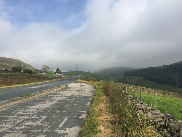
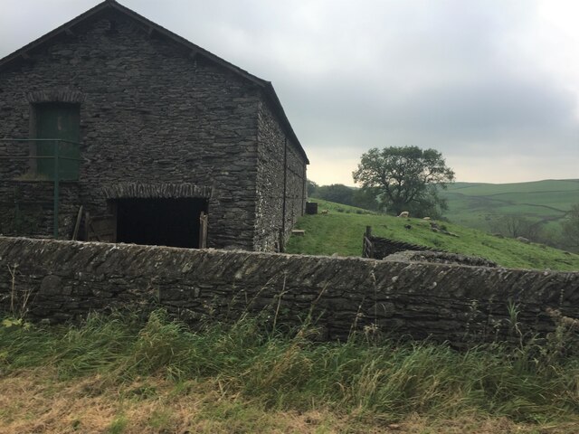
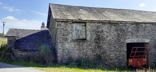
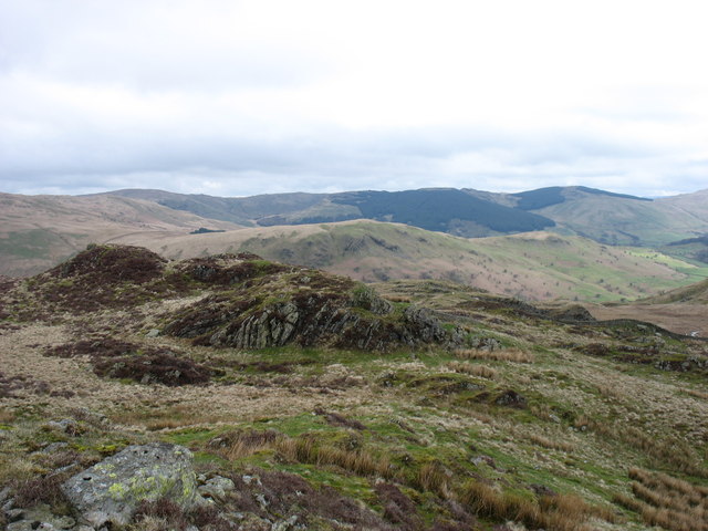
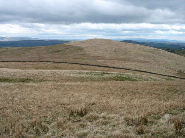
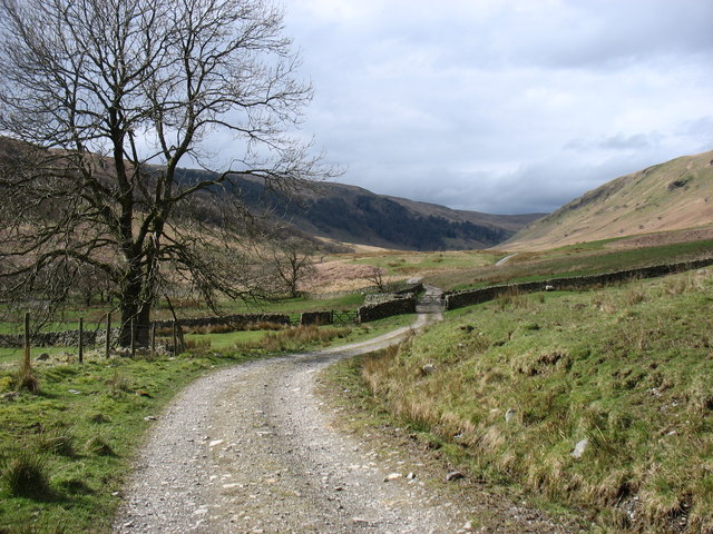
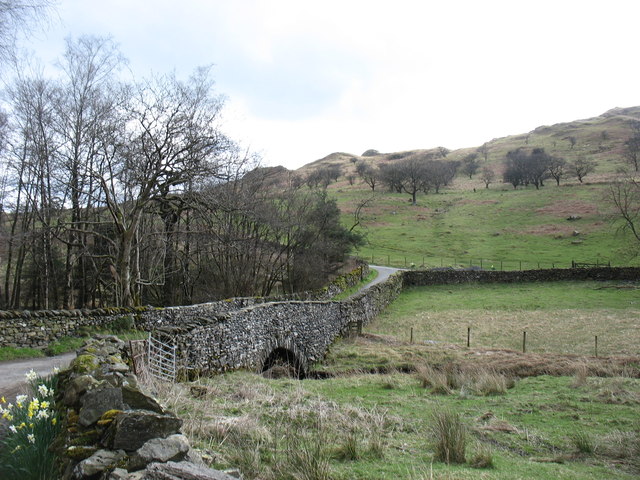
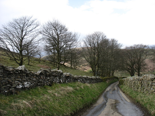
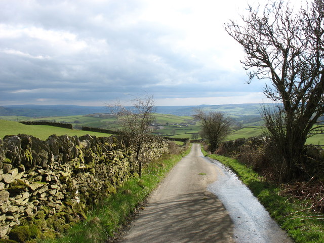
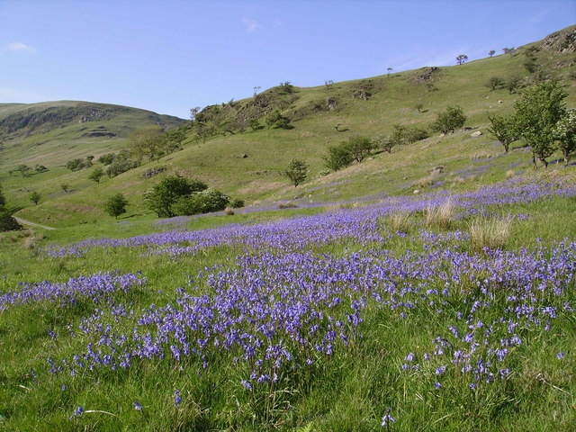
Baldock Plantation, located in Westmorland, is a picturesque wood and forest area that spans over a significant expanse of land. The plantation is known for its dense vegetation and diverse range of tree species, making it a haven for nature enthusiasts and wildlife alike.

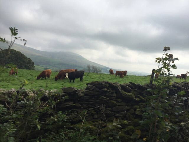
The woodland area of Baldock Plantation is characterized by its tall, mature trees that create a dense canopy, providing ample shade and shelter for various animals and plants. The forest floor is covered with leaf litter, creating a rich and fertile ground for the growth of ferns, mosses, and other undergrowth. This lush undergrowth not only adds to the aesthetic appeal of the plantation but also provides food and habitat for a variety of small mammals, birds, and insects.

The plantation is home to a wide range of tree species, including oak, beech, ash, and birch. These trees not only provide a beautiful landscape but also serve as an important carbon sink, absorbing carbon dioxide and releasing oxygen into the atmosphere. The diverse range of trees also contributes to the ecological balance of the area, supporting a wide variety of wildlife and plant species.

Visitors to Baldock Plantation can enjoy the tranquil surroundings, taking leisurely walks or engaging in activities such as bird watching or photography. The plantation offers a serene and peaceful environment, perfect for those seeking a break from the hustle and bustle of city life.

In conclusion, Baldock Plantation in Westmorland is a stunning wood and forest area that boasts a diverse range of vegetation, providing a habitat for numerous plant and animal species. Its natural beauty and peaceful atmosphere make it a popular destination for nature lovers and those seeking a tranquil escape.

If you have any feedback on the listing, please let us know in the comments section below.

Baldock Plantation Images

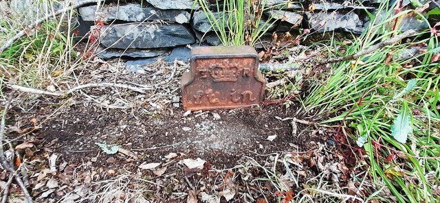
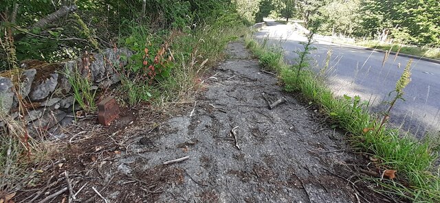
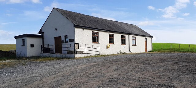
Images are sourced within 2km of 54.402712/-2.7090757 or Grid Reference NY5401. Thanks to Geograph Open Source API. All images are credited.

Lay-by on the A6 Between Martclose Farm and Hollowgate Farm
Lay-by on the A6
Between Martclose Farm and Hollowgate Farm
Stone barn at Forest Hall
Cattle grazing on rough pasture
Ashstead Beck beside rural road north of Whelpside Ordnance Survey documents indicate that a benchmark levelled at 154.171m above Newlyn Datum was verified in 1954 on a stone at the base of the wall (on the right hand side of the beck) its back face 2.4m from its left hand end
Ashstead Beck beside rural road north of Whelpside
Ordnance Survey documents indicate that a benchmark levelled at 154.171m above Newlyn Datum was verified in 1954 on a stone at the base of the wall (on the right hand side of the beck) its back face 2.4m from its left hand end
Benchmark on stone in wall on NE side of road NW of Harewood Ordnance Survey pivot benchmark levelled at 149.782m above Newlyn Datum verified 1954
Benchmark on stone in wall on NE side of road NW of Harewood
Ordnance Survey pivot benchmark levelled at 149.782m above Newlyn Datum verified 1954
Dry stone wall and gateway on NE side of rural road between Whelpside and Harewood There is an Ordnance Survey benchmark <a href="https://www.geograph.org.uk/photo/7233064">NY5500 : Benchmark on stone in wall on NE side of road NW of Harewood</a> on a light-coloured protruding stone near the base of the wall
Dry stone wall and gateway on NE side of rural road between Whelpside and Harewood
There is an Ordnance Survey benchmark NY5500 : Benchmark on stone in wall on NE side of road NW of Harewood on a light-coloured protruding stone near the base of the wall
Benchmark on barn at Whelpside Ordnance Survey cut mark levelled at 158.126m above Newlyn Datum verified 1954
Benchmark on barn at Whelpside
Ordnance Survey cut mark levelled at 158.126m above Newlyn Datum verified 1954
Farm buildings at Whelpside There is an Ordnance Survey benchmark <a href="https://www.geograph.org.uk/photo/7233223">NY5500 : Benchmark on barn at Whelpside</a> on the left hand side of the large barn at its near corner
Farm buildings at Whelpside
There is an Ordnance Survey benchmark NY5500 : Benchmark on barn at Whelpside on the left hand side of the large barn at its near corner
Edward VII GPO Cable marker on NW side of A6 at Low Jock Scar See <span class="nowrap"><a title="https://gpo-markers.derektp.co.uk/detail?post=635" rel="nofollow ugc noopener" href="https://gpo-markers.derektp.co.uk/detail?post=635">Link</a><img style="margin-left:2px;" alt="External link" title="External link - shift click to open in new window" src="https://s1.geograph.org.uk/img/external.png" width="10" height="10"/></span>
Edward VII GPO Cable marker on NW side of A6 at Low Jock Scar
See LinkExternal link
Looking NE along A6 towards Bannisdale Low Bridge There is a GPO cable marker <a href="https://www.geograph.org.uk/photo/7234157">NY5401 : Edward VII GPO Cable marker on NW side of A6 at Low Jock Scar</a> against the wall at the left hand side of the road
Looking NE along A6 towards Bannisdale Low Bridge
There is a GPO cable marker NY5401 : Edward VII GPO Cable marker on NW side of A6 at Low Jock Scar against the wall at the left hand side of the road
Selside Memorial Hall on SE side of A6
Bridleway above Mosergh Farm This is the start of the Bannisdale Horseshoe. Whiteside Pike, the first hill, is straight ahead.
Bridleway above Mosergh Farm
This is the start of the Bannisdale Horseshoe. Whiteside Pike, the first hill, is straight ahead.
The view from Whiteside Pike Whiteside Pike is the first hill on the Bannisdale Horseshoe.
The view from Whiteside Pike
Whiteside Pike is the first hill on the Bannisdale Horseshoe.
Lamb Pasture The final hill on the Bannisdale Horseshoe.
Lamb Pasture
The final hill on the Bannisdale Horseshoe.
The Bannisdale track Taken after descending from the Bannisdale Horseshoe.
The Bannisdale track
Taken after descending from the Bannisdale Horseshoe.
Dryhowe Bridge From here, there is just 2 kilometres of country lane to complete the Bannisdale Horseshoe.
Dryhowe Bridge
From here, there is just 2 kilometres of country lane to complete the Bannisdale Horseshoe.
The lane to Dryhowe At the end of the Bannisdale Horseshoe, one finishes with about 2 kilometres along this lane (but in the opposite direction). From Dryhowe Bridge there is a height gain of about 50 metres - not much, but unwelcome at the end of the day.
The lane to Dryhowe
At the end of the Bannisdale Horseshoe, one finishes with about 2 kilometres along this lane (but in the opposite direction). From Dryhowe Bridge there is a height gain of about 50 metres - not much, but unwelcome at the end of the day.
The lane from Dryhowe The end of the Bannisdale Horseshoe is now only a few minutes away.
The lane from Dryhowe
The end of the Bannisdale Horseshoe is now only a few minutes away.
Show me another place!

Baldock Plantation is located at Grid Ref: NY5401 (Lat: 54.402712, Lng: -2.7090757)

Administrative County: Cumbria

District: South Lakeland

Police Authority: Cumbria

What 3 Words

///milk.vintages.zipped. Near Burneside, Cumbria

Related Wikis

Fawcett Forest

Fawcett Forest is a former civil parish, now in the parish of Selside and Fawcett Forest, in the South Lakeland district of the English county of Cumbria...

Lowbridge Estate

The Lowbridge Estate is a country estate of approximately 2000 acres in the Lake District region of England that was in the continuous ownership of the...

Bannisdale Horseshoe

The Bannisdale Horseshoe is an upland area in Cumbria, England, near the eastern boundary of the Lake District National Park, surrounding the valley of...

Selside

Selside is a small village in rural Cumbria, England, about 6 miles (9.7 km) north of Kendal, close to the A6 road. It is now in the civil parish of Selside...

Garnett Bridge

Garnett Bridge is a hamlet in Cumbria, England, on the River Sprint. It is located three miles by foot southeast of Long Sleddale. It consists mainly of...

Whitwell and Selside

Whitwell and Selside is a former civil parish, now part of the parish of Selside and Fawcett Forest, in the Westmorland and Furness district, in the ceremonial...

Whinfell Beacon

Whinfell Beacon is a hill of 472 metres (1,549 ft) in South Lakeland, Cumbria, England, to the east of the Lake District. It is in the far east of the...

Whinfell

Whinfell is a civil parish in South Lakeland, Cumbria, England. It does not have a parish council but a parish meeting. The parish lies north east of Kendal...

Nearby Amenities

Located within 500m of 54.402712,-2.7090757
Jock Scar
Place: locality
Lat/Long: 54.4041533/-2.7064483
Information: guidepost
Tourism: information
Lat/Long: 54.405304/-2.7066065
Defibrillator
Defibrillator Location: outside Selside Village Hall
Emergency: defibrillator
Indoor: no
Lat/Long: 54.3982552/-2.7090099
Power: pole
Lat/Long: 54.399248/-2.7105467
Power: pole
Lat/Long: 54.3992779/-2.7114791
Power: pole
Lat/Long: 54.3993248/-2.7128849
Power: pole
Lat/Long: 54.3993617/-2.7140955
The data included in this document is from www.openstreetmap.org. The data is made available under ODbL.

Have you been to Baldock Plantation?

Leave your review of Baldock Plantation below (or comments, questions and feedback).