Bernithan Wood
Wood, Forest in Herefordshire
England
Bernithan Wood

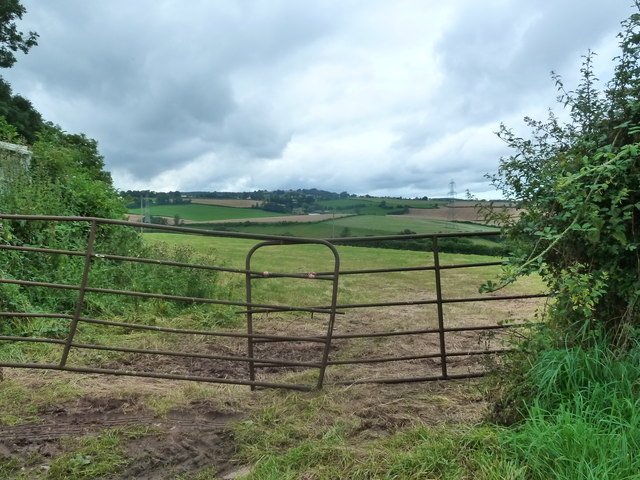
Bernithan Wood is a picturesque woodland located in the county of Herefordshire, England. Covering an area of approximately 200 acres, the wood is a haven for nature enthusiasts and offers a tranquil escape from the hustle and bustle of everyday life.
The wood is predominantly composed of native broadleaf trees, including oak, beech, and ash, which create a dense canopy and provide a habitat for a diverse range of wildlife. The forest floor is adorned with a carpet of bluebells in the spring, creating a mesmerizing sight for visitors.
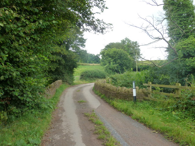
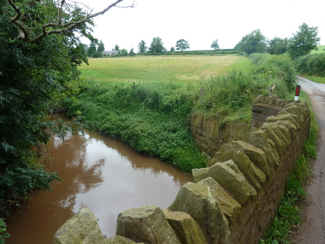
Bernithan Wood is crisscrossed with a network of well-maintained footpaths, making it a popular destination for walkers and hikers. The paths wind through the wood, leading visitors to hidden glades, babbling brooks, and ancient trees with gnarled branches.
As a designated Site of Special Scientific Interest (SSSI), the wood is carefully managed to preserve its natural beauty and protect its inhabitants. Birdwatchers flock to Bernithan Wood to catch a glimpse of rare species such as the lesser-spotted woodpecker and the pied flycatcher, while nature lovers can spot elusive mammals like badgers, foxes, and deer.
The wood also holds historical significance, with evidence of human activity dating back to the Iron Age. Archaeological remains, including a hillfort and ancient earthworks, can still be seen within the boundaries of the wood, offering a fascinating glimpse into the area's rich past.
Overall, Bernithan Wood is a captivating destination that showcases the beauty of Herefordshire's natural landscape, providing a peaceful retreat for visitors to immerse themselves in nature and explore its historical heritage.
If you have any feedback on the listing, please let us know in the comments section below.
Bernithan Wood Images
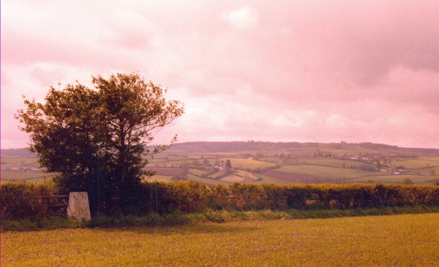
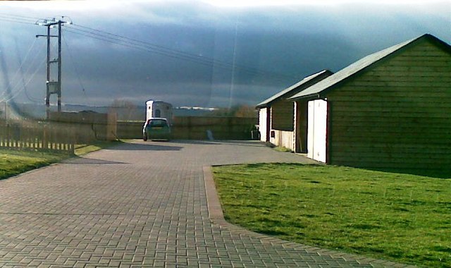
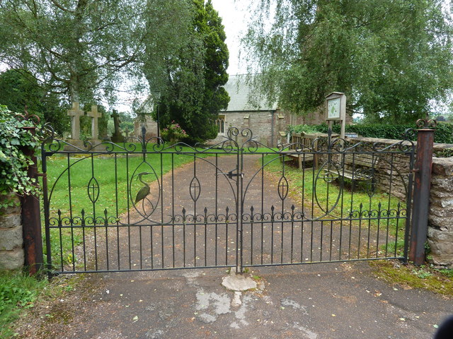
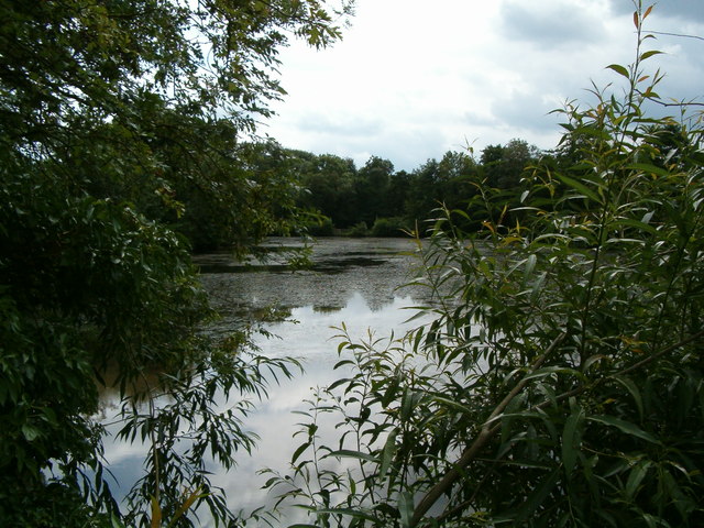
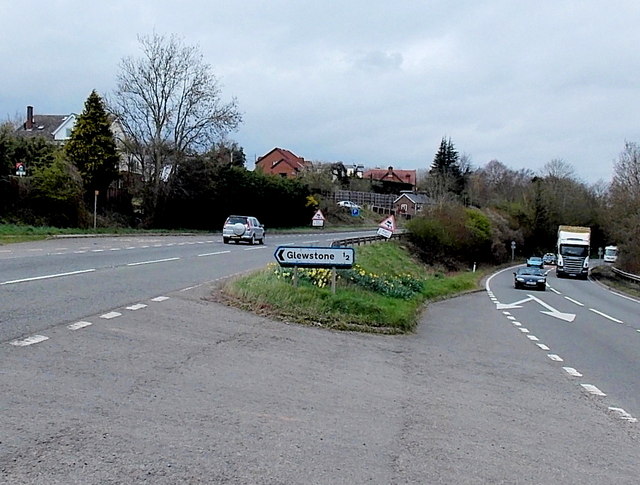
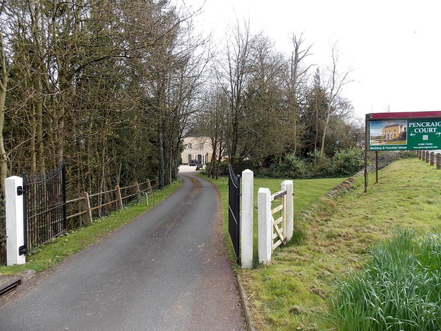
Images are sourced within 2km of 51.892084/-2.6607187 or Grid Reference SO5421. Thanks to Geograph Open Source API. All images are credited.


Bernithan Wood is located at Grid Ref: SO5421 (Lat: 51.892084, Lng: -2.6607187)
Unitary Authority: County of Herefordshire
Police Authority: West Mercia
What 3 Words
///spooned.affirming.swear. Near Marstow, Herefordshire
Nearby Locations
Related Wikis

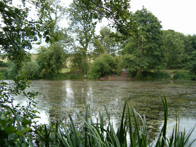
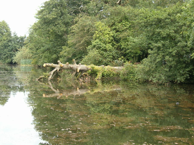
Redmire Pool
Redmire Pool is near Ross-on-Wye in Herefordshire, England. At only 3 acres (1.2 ha) in size it is considered by angling experts to be the home of carp...
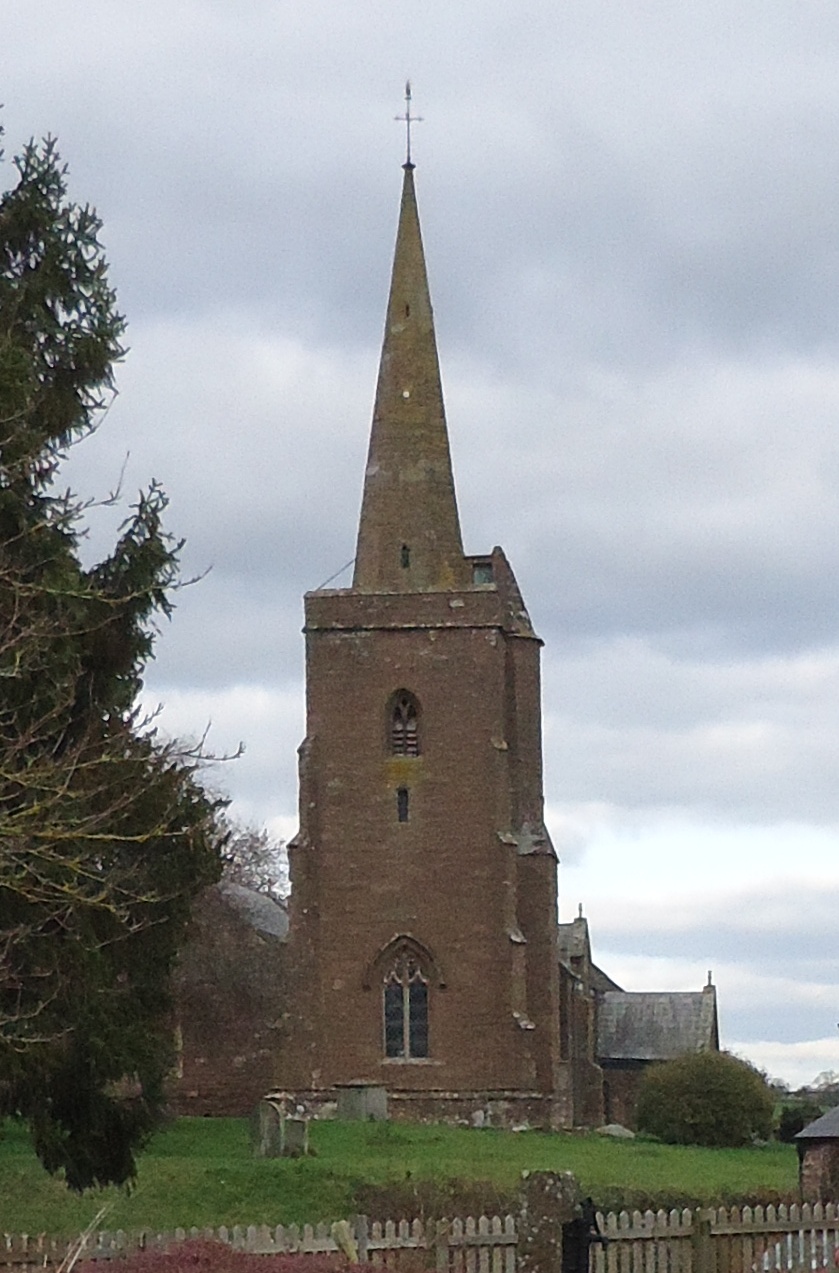
Church of St Deinst, Llangarron
The Church of St Deinst, Llangarron, Herefordshire is a church of the Diocese of Hereford, England. The church is dedicated to the Celtic saint Deiniol...
Llangarron
Llangarron is a small village and civil parish in southwest Herefordshire within 7 miles (11 km) of both Ross-on-Wye (Herefordshire, England) and Monmouth...

Glewstone Court Hotel
Glewstone Court, in the hamlet of Glewstone and the civil parish of Marstow in Herefordshire, England, is a building of historical significance listed...
Nearby Amenities
Located within 500m of 51.892084,-2.6607187Have you been to Bernithan Wood?
Leave your review of Bernithan Wood below (or comments, questions and feedback).