Otters Croft Wood
Wood, Forest in Lancashire
England
Otters Croft Wood

Otters Croft Wood is a picturesque woodland located in Lancashire, England. Covering an area of approximately 50 acres, it is a popular destination for nature enthusiasts and outdoor lovers. The wood is situated near the village of Croft and is easily accessible by both foot and car.
The woodland is characterized by its diverse range of flora and fauna, providing a habitat for various species of plants and animals. Ancient oak trees dominate the landscape, creating a dense canopy that filters the sunlight and casts a tranquil atmosphere throughout the wood. Bluebells, wild garlic, and wood anemones carpet the forest floor during the spring, adding a vibrant burst of color to the surroundings.
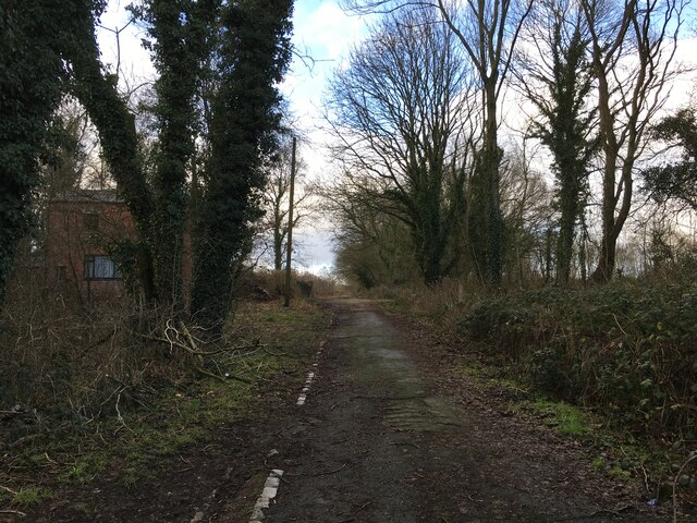
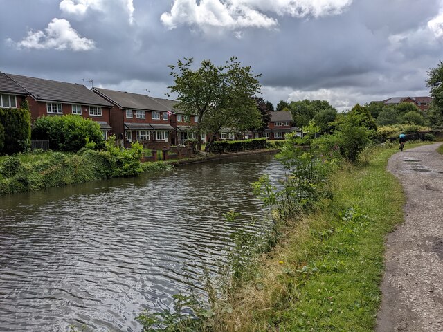
Several walking trails crisscross the wood, allowing visitors to explore its beauty at their own pace. These trails lead to a small stream that meanders through the heart of the woodland, providing a soothing soundtrack to the peaceful atmosphere. The stream is home to a population of otters, from which the wood derives its name. These playful creatures can occasionally be spotted by lucky visitors.
Otters Croft Wood is a haven for wildlife enthusiasts, with a variety of bird species including woodpeckers, nuthatches, and treecreepers. Red squirrels can also be spotted in the trees, adding to the charm of the wood.
In summary, Otters Croft Wood is a captivating woodland in Lancashire, offering visitors a chance to immerse themselves in nature's beauty. With its ancient oak trees, stunning wildflowers, and diverse wildlife, it is a haven for those seeking tranquility and a connection with the natural world.
If you have any feedback on the listing, please let us know in the comments section below.
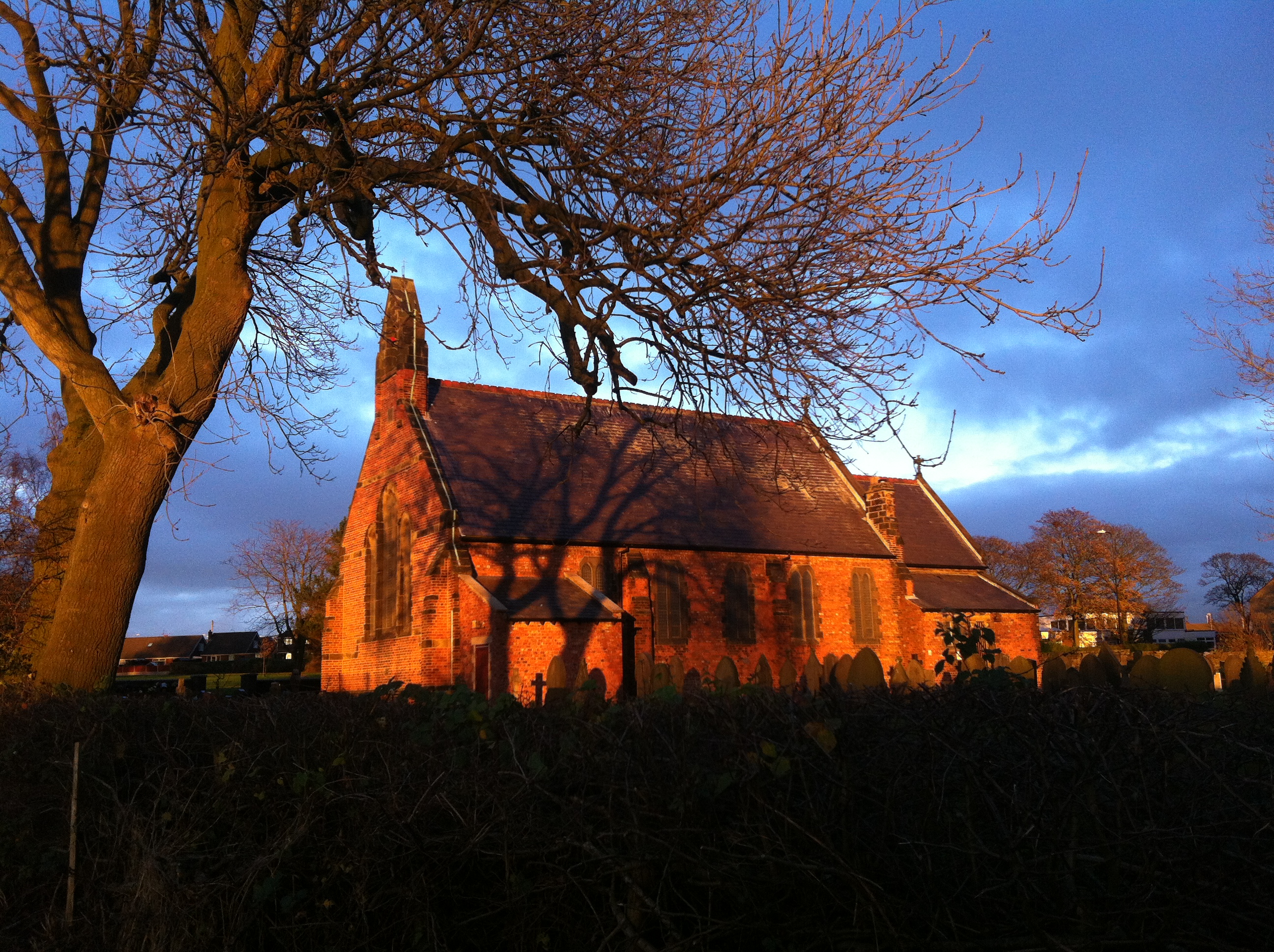
Otters Croft Wood Images
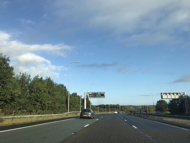
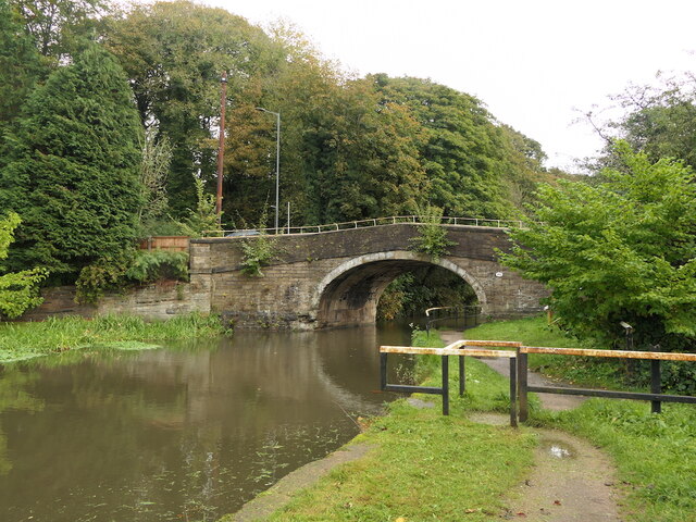
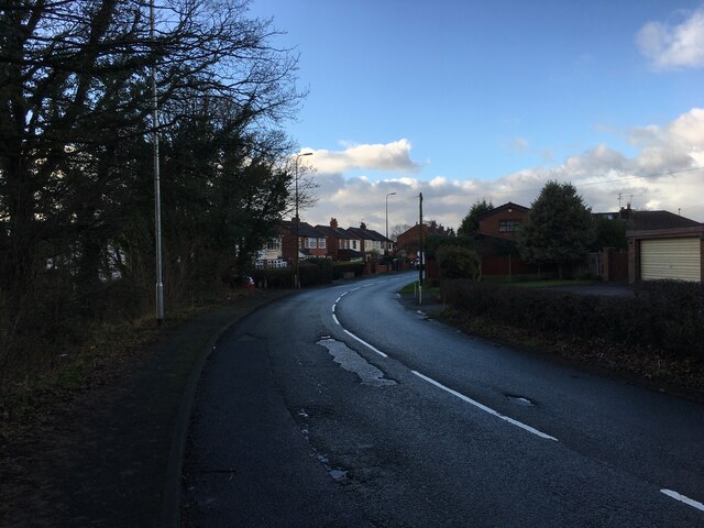
Images are sourced within 2km of 53.56262/-2.6864894 or Grid Reference SD5407. Thanks to Geograph Open Source API. All images are credited.


Otters Croft Wood is located at Grid Ref: SD5407 (Lat: 53.56262, Lng: -2.6864894)
Unitary Authority: Wigan
Police Authority: Greater Manchester
What 3 Words
///husky.skirting.perplexed. Near Shevington, Manchester
Nearby Locations
Related Wikis
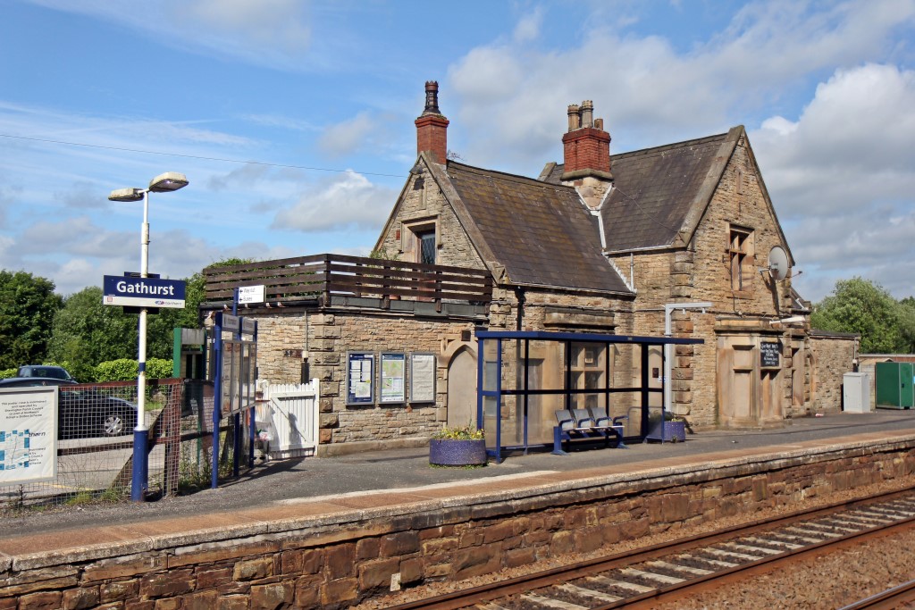
Gathurst railway station
Gathurst railway station is a two-platform railway station on the outskirts of the Metropolitan Borough of Wigan, Greater Manchester, England. The station...

Gathurst
Gathurst (, locally ) is the name given to a small section of the township of Shevington, a Civil Parish within the Metropolitan Borough of Wigan, Greater...
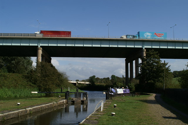
Gathurst Viaduct
Gathurst Viaduct carries the M6 motorway across the Douglas valley at Shevington, Wigan, Greater Manchester, England. The second largest bridge on the...
Shevington
Shevington is a village and civil parish within the Metropolitan Borough of Wigan, Greater Manchester, England. The population of the Wigan ward called...
Nearby Amenities
Located within 500m of 53.56262,-2.6864894Have you been to Otters Croft Wood?
Leave your review of Otters Croft Wood below (or comments, questions and feedback).