Apsey Green
Settlement in Suffolk East Suffolk
England
Apsey Green
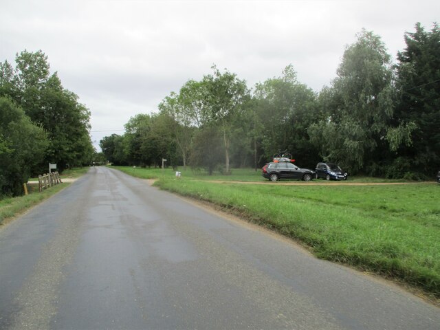
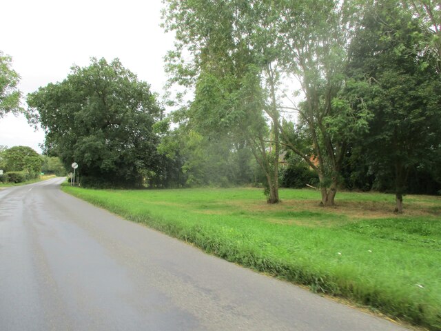
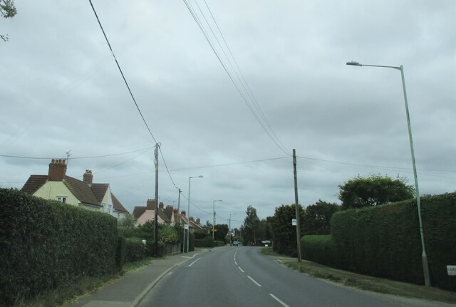
Apsey Green is a small village located in the county of Suffolk, England. Situated in the East of England region, it is part of the Mid Suffolk district. The village is nestled in a picturesque rural setting, surrounded by rolling countryside and fields, offering residents and visitors a tranquil and idyllic atmosphere.
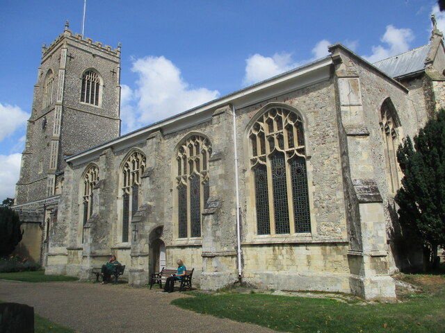
The exact origins of Apsey Green are not well-documented, but it is believed to have been established during the medieval period. Today, the village retains much of its historical charm, with several old and well-preserved buildings, including traditional thatched-roof cottages and a charming village church.
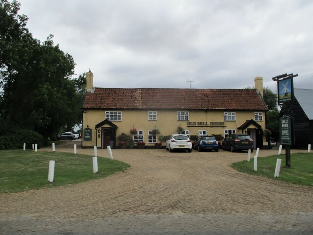
As a small village, Apsey Green has a close-knit community, with a population of approximately 200 residents. The village is well-served by amenities such as a local pub and a community hall, which host various events and gatherings throughout the year. The village also benefits from being in close proximity to larger towns, such as Stowmarket and Ipswich, which provide additional amenities and services.
Apsey Green offers an ideal location for those seeking a peaceful and rural lifestyle. The village is surrounded by beautiful countryside, offering ample opportunities for outdoor activities such as walking, cycling, and horse riding. The area is also known for its vibrant wildlife, with several nature reserves nearby, making it a haven for nature enthusiasts.
Overall, Apsey Green is a charming and tranquil village in Suffolk, offering residents and visitors a slice of rural English life with its picturesque setting and close-knit community.
If you have any feedback on the listing, please let us know in the comments section below.
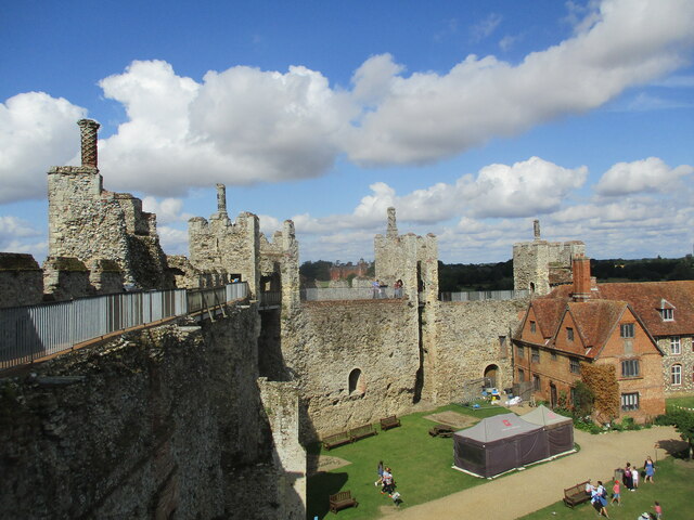
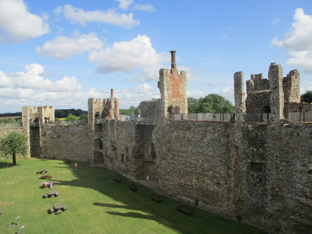
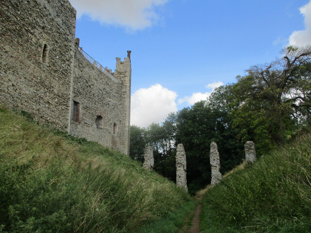
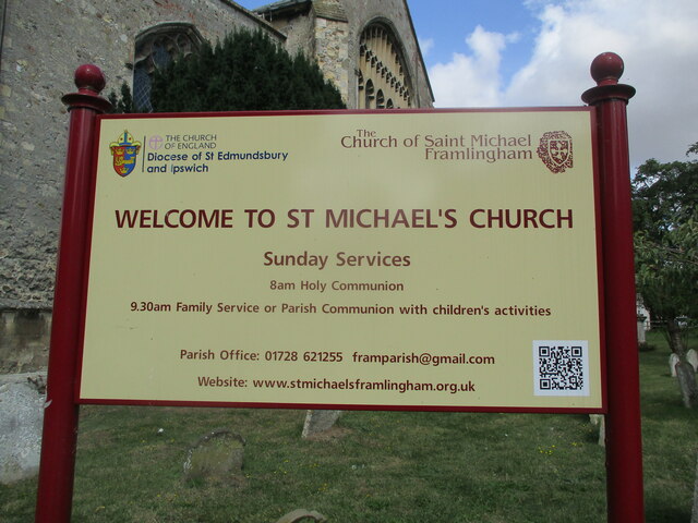
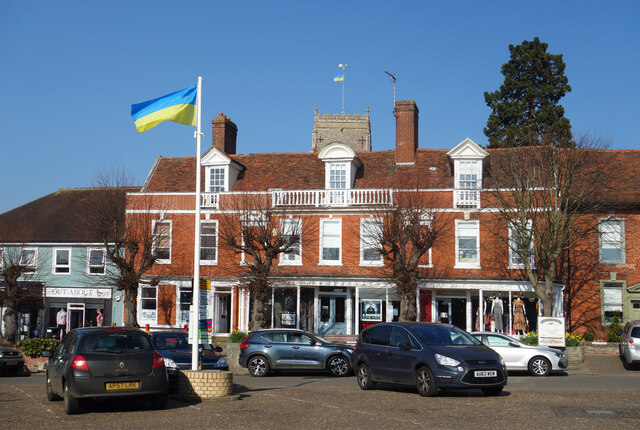
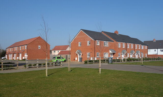
Apsey Green Images
Images are sourced within 2km of 52.221357/1.324216 or Grid Reference TM2763. Thanks to Geograph Open Source API. All images are credited.
Apsey Green is located at Grid Ref: TM2763 (Lat: 52.221357, Lng: 1.324216)
Administrative County: Suffolk
District: East Suffolk
Police Authority: Suffolk
What 3 Words
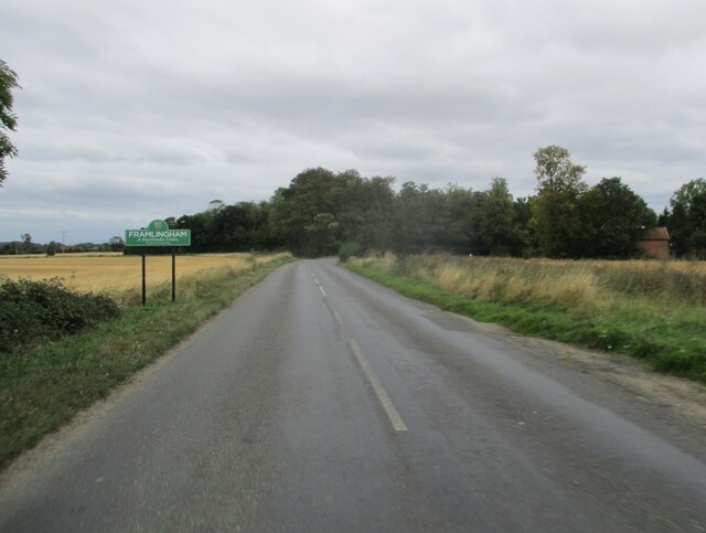
///lovely.strutting.trading. Near Framlingham, Suffolk
Nearby Locations
Related Wikis

Apsey Green
Apsey Green is a hamlet in Suffolk, England. == External links == Media related to Apsey Green at Wikimedia Commons

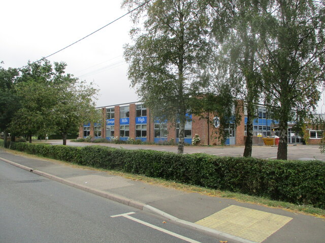
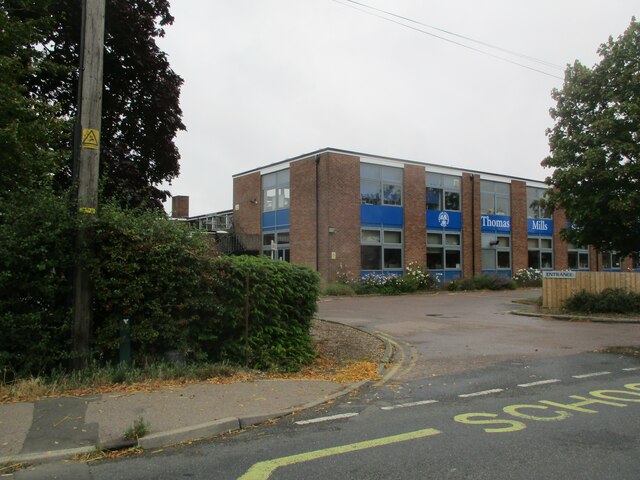
Thomas Mills High School
Thomas Mills High School is a co-educational secondary school and sixth form with academy status in Framlingham, Suffolk, England. The current headteacher...
Loes Hundred
Loes was a hundred of Suffolk, with an area of 31,321 acres (126.75 km2).Loes Hundred was long and thin in shape, around 15 miles (24 km) long and between...

Sir Robert Hitcham's Almshouses
Sir Robert Hitcham's Almshouses are grade II* listed almshouses in New Road, Framlingham, Suffolk, England. They were built in 1654 under the will of Sir...
Nearby Amenities
Located within 500m of 52.221357,1.324216Have you been to Apsey Green?
Leave your review of Apsey Green below (or comments, questions and feedback).