Birkrigg Park Wood
Wood, Forest in Westmorland South Lakeland
England
Birkrigg Park Wood

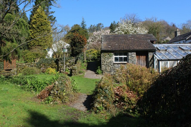
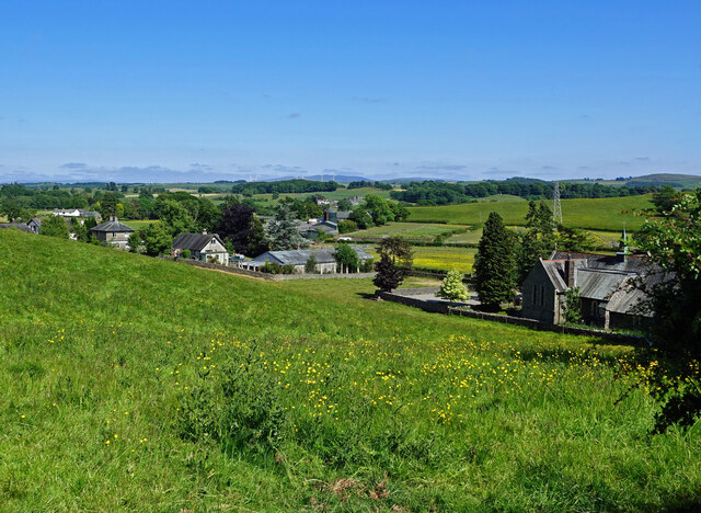
Birkrigg Park Wood is a picturesque woodland located in the county of Westmorland, England. Covering an area of approximately 30 hectares, it is situated on the eastern shore of the scenic Morecambe Bay. The woodland is part of the larger Birkrigg Common, an area renowned for its natural beauty and archaeological significance.
The wood is predominantly composed of native broadleaf trees such as oak, ash, and birch, which create a diverse and vibrant ecosystem. The canopy of the wood provides shade and shelter for a variety of plant species, including bluebells, wood sorrel, and wild garlic, which thrive in the damp and rich soil.
Visitors to Birkrigg Park Wood can enjoy a peaceful and tranquil environment, perfect for walking, birdwatching, and nature photography. The woodland is home to numerous bird species, including great spotted woodpeckers, tawny owls, and nuthatches, making it a haven for bird enthusiasts. Additionally, the wood is frequented by small mammals like squirrels, voles, and bats.
One of the highlights of Birkrigg Park Wood is its historical significance. The wood is located near the Birkrigg stone circle, a Bronze Age monument consisting of two concentric stone rings. This ancient site adds an air of mystery and intrigue to the wood, attracting archaeology enthusiasts and history buffs.
Overall, Birkrigg Park Wood offers a captivating blend of natural beauty, biodiversity, and historical importance. Its accessibility and stunning surroundings make it a popular destination for both locals and tourists seeking a peaceful retreat amidst the splendor of Westmorland.
If you have any feedback on the listing, please let us know in the comments section below.
Birkrigg Park Wood Images
Images are sourced within 2km of 54.276596/-2.7083054 or Grid Reference SD5387. Thanks to Geograph Open Source API. All images are credited.


Birkrigg Park Wood is located at Grid Ref: SD5387 (Lat: 54.276596, Lng: -2.7083054)
Administrative County: Cumbria
District: South Lakeland
Police Authority: Cumbria
What 3 Words
///mimes.defaults.zoomed. Near Kendal, Cumbria
Nearby Locations
Related Wikis

Halfpenny, Cumbria
Halfpenny is a hamlet in the civil parish of Stainton, in the South Lakeland district, in the county of Cumbria, England. It is located roughly two and...
Barrows Green, Cumbria
Barrows Green is a village in Cumbria, England. == External links == Media related to Barrows Green, Cumbria at Wikimedia Commons

Crosscrake
Crosscrake is a village in Cumbria, just off the M6 Junction 36 in North West of England. It is located just South of Kendal on the A6, between the villages/hamlets...
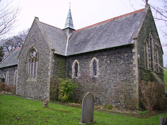
St Thomas' Church, Crosscrake
St Thomas' Church is in the village of Crosscrake, Cumbria, England. It is an active Anglican parish church in the Deanery of Kendal, the Archdeaconry...
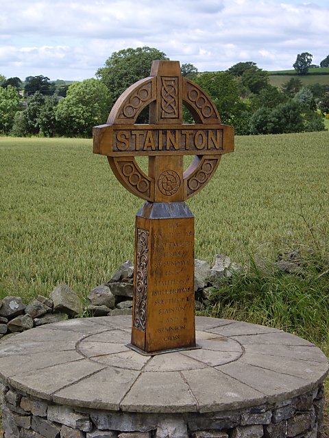
Stainton, south Cumbria
Stainton is a village and a civil parish in the Westmorland and Furness district of Cumbria, England. It is near the village of Sedgwick and the town of...

Lakeland Maze Farm Park
Lakeland Maze Farm Park is an outdoor attraction and maze located near Kendal in England, UK. == History == The first maze was created in 2005. In 2021...
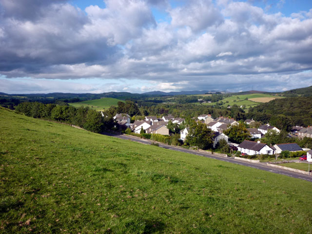
Endmoor
Endmoor is a small village within Cumbria, England, situated close to the A65 road. It is about 5 miles (8 km) from Kendal, just south of Oxenholme, and...
Preston Richard
Preston Richard is a civil parish in South Lakeland, Cumbria, England. It includes the village of Endmoor, and the hamlets of Crooklands, Birkrigg Park...
Related Videos

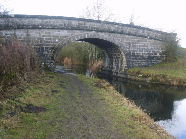
Family walk from Endmoor to Stainton Aqueduct
A lovely short and relatively flat walk from Endmoor to the Stainton Aqueduct via Crooklands and along the banks of the Lancaster ...
Caravans For Sale at Gatebeck Holiday Park
Here's a snapshot of what Gatebeck Holiday Park can offer you and your family. Its semi woodland location is just on the outskirts ...

Summiteer Crag Rocket 30L Rucksack - Official Demo
Ethan Thomas talks through his Summiteer Crag Rocket 30L Pack. The Crag Rocket is a no nonsense technical climber's pack.
church in stainton
Join this channel to get access to Amazing perks Emogis Badges Videos and more: ...
Nearby Amenities
Located within 500m of 54.276596,-2.7083054Have you been to Birkrigg Park Wood?
Leave your review of Birkrigg Park Wood below (or comments, questions and feedback).