Stang Wood
Wood, Forest in Westmorland South Lakeland
England
Stang Wood
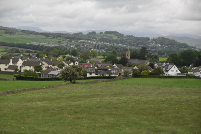
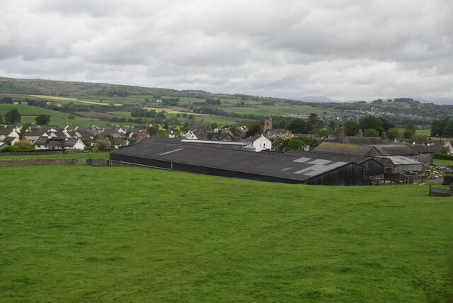
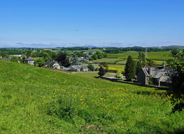
Stang Wood, located in Westmorland, is a picturesque forest nestled amidst the stunning countryside of England's Lake District National Park. Covering an area of approximately xx square kilometers, this enchanting woodland is a haven for nature enthusiasts and a popular destination for hikers, birdwatchers, and outdoor adventurers.
Stang Wood is characterized by its dense vegetation, primarily consisting of a diverse range of native tree species such as oak, ash, birch, and beech, which create a lush and vibrant canopy. The forest floor is adorned with an array of wildflowers, ferns, and mosses, adding to the area’s natural beauty.
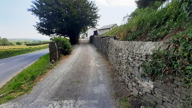
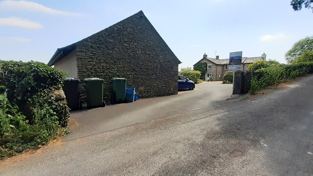
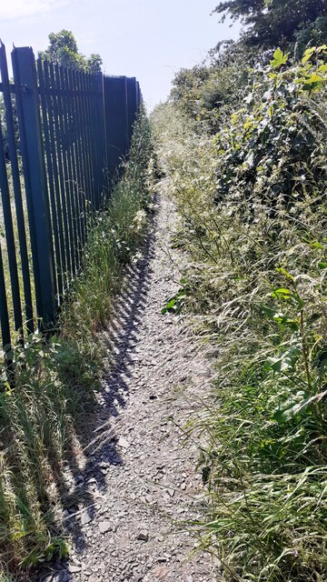
The woodland is crisscrossed by a network of walking trails, allowing visitors to explore its enchanting corners at their own pace. These well-maintained paths lead adventurers through towering trees, across babbling brooks, and up gentle slopes, offering breathtaking vistas of the surrounding countryside.
Stang Wood is also home to a rich variety of wildlife, including deer, foxes, badgers, and numerous bird species. Birdwatchers will be delighted to spot woodpeckers, owls, and buzzards among the leafy branches.
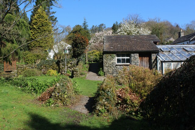
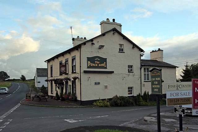
The forest’s tranquil atmosphere and natural beauty make it an ideal spot for a peaceful picnic or a relaxing day out with family and friends. Visitors looking to extend their stay can find nearby campsites and accommodations, ensuring a truly immersive experience in the heart of nature.
With its idyllic scenery, diverse flora and fauna, and a range of recreational activities, Stang Wood is a must-visit destination for both nature enthusiasts and those seeking a tranquil escape in Westmorland.
If you have any feedback on the listing, please let us know in the comments section below.
Stang Wood Images
Images are sourced within 2km of 54.284452/-2.7097305 or Grid Reference SD5387. Thanks to Geograph Open Source API. All images are credited.


Stang Wood is located at Grid Ref: SD5387 (Lat: 54.284452, Lng: -2.7097305)
Administrative County: Cumbria
District: South Lakeland
Police Authority: Cumbria
What 3 Words
///saved.snooze.noted. Near Kendal, Cumbria
Nearby Locations
Related Wikis

Halfpenny, Cumbria
Halfpenny is a hamlet in the civil parish of Stainton, in the South Lakeland district, in the county of Cumbria, England. It is located roughly two and...
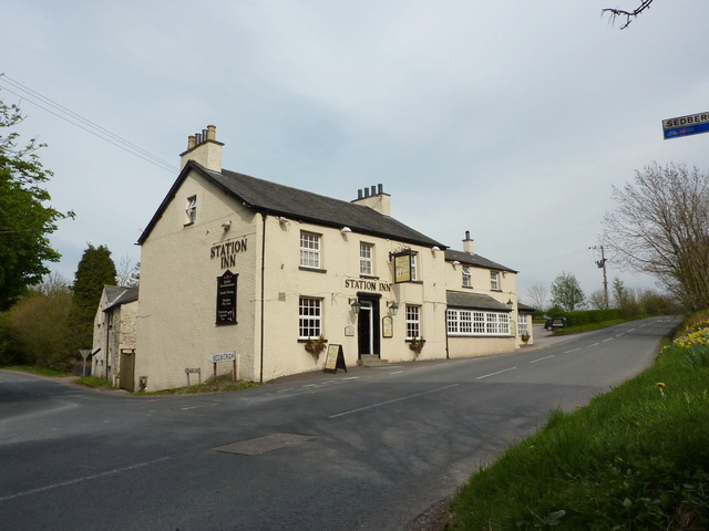
Barrows Green, Cumbria
Barrows Green is a village in Cumbria, England. == External links == Media related to Barrows Green, Cumbria at Wikimedia Commons

Crosscrake
Crosscrake is a village in Cumbria, just off the M6 Junction 36 in North West of England. It is located just South of Kendal on the A6, between the villages/hamlets...
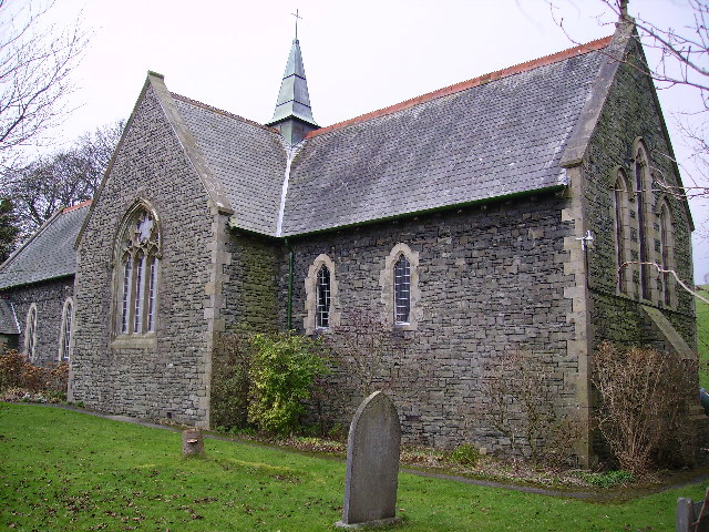
St Thomas' Church, Crosscrake
St Thomas' Church is in the village of Crosscrake, Cumbria, England. It is an active Anglican parish church in the Deanery of Kendal, the Archdeaconry...

Middleshaw, Cumbria
Middleshaw is a hamlet on the B6254 road, near the village of Old Hutton, in the civil parish of Old Hutton and Holmescales, in the South Lakeland district...
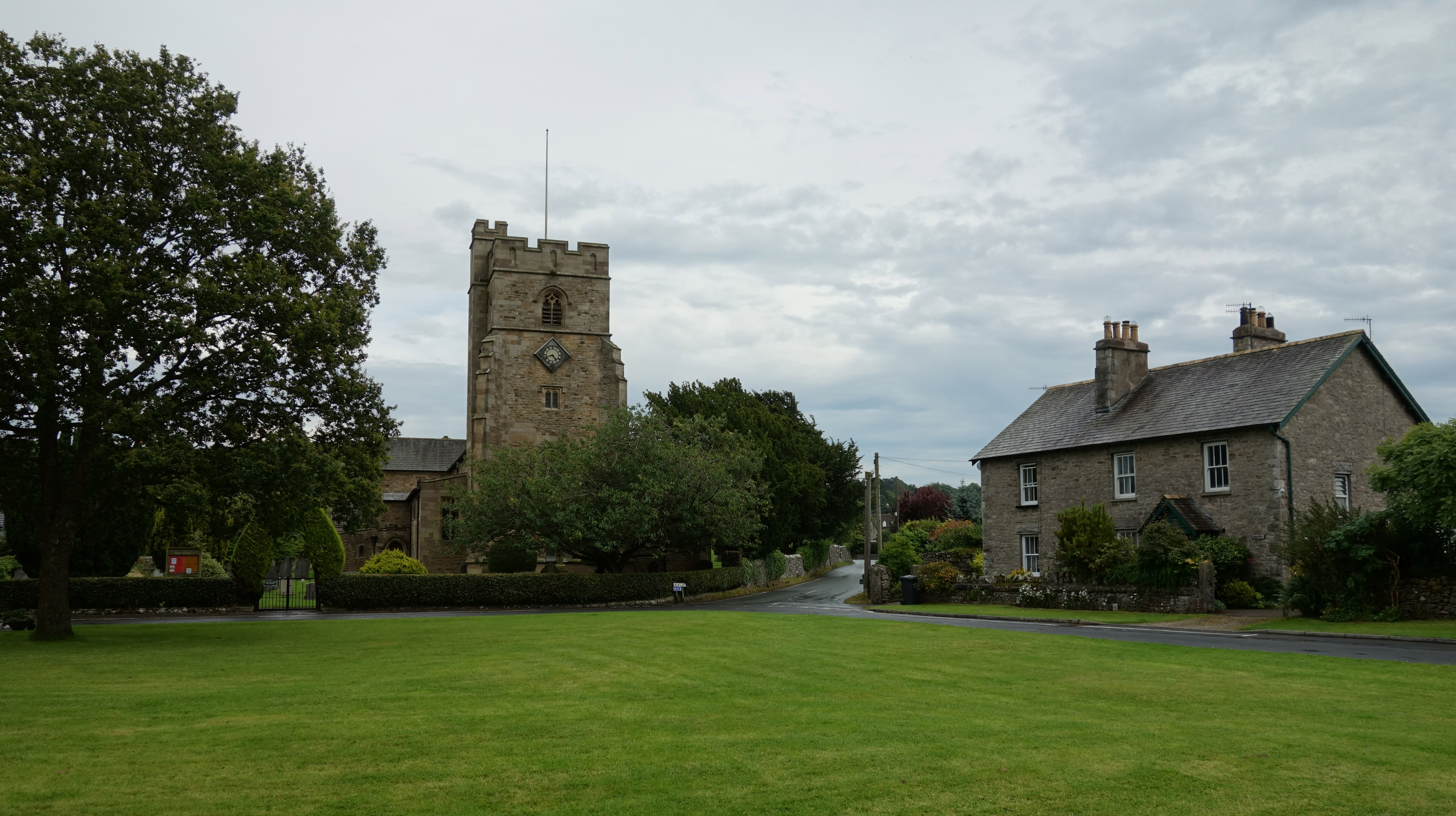
Oxenholme
Oxenholme is a village in England just south of the town of Kendal, with which it has begun to merge. It is best known for Oxenholme Lake District railway...

Old Hutton
Old Hutton is a village in South Lakeland, Cumbria, England. It is in the civil parish of Old Hutton and Holmescales In the 2001 census the parish had...
Natland
Natland is a village and civil parish about two miles (3 km) south of Kendal in the South Lakeland district of Cumbria, England, close to the village of...
Nearby Amenities
Located within 500m of 54.284452,-2.7097305Have you been to Stang Wood?
Leave your review of Stang Wood below (or comments, questions and feedback).