Gonder Lane Wood

Wood, Forest in Lancashire Wyre

England

Gonder Lane Wood

Farmland near Brockmill
Farmland near Brockmill Credit: Steven Brown

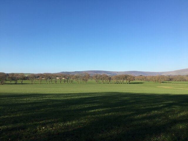
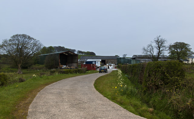
Gonder Lane Wood, located in Lancashire, England, is a picturesque woodland area encompassing approximately 100 acres. It is known for its natural beauty and diverse range of flora and fauna. The wood is situated near the village of Wood, surrounded by open fields and farmland.

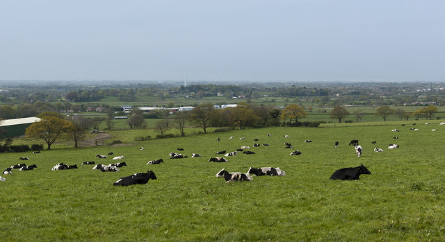
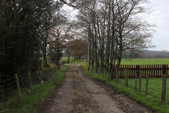
The woodland itself is predominantly composed of broadleaf trees, including oak, beech, and ash, which create a dense canopy overhead. This provides a habitat for various woodland creatures such as badgers, foxes, and squirrels. The forest floor is adorned with a carpet of bluebells in the spring, creating a stunning display of color.

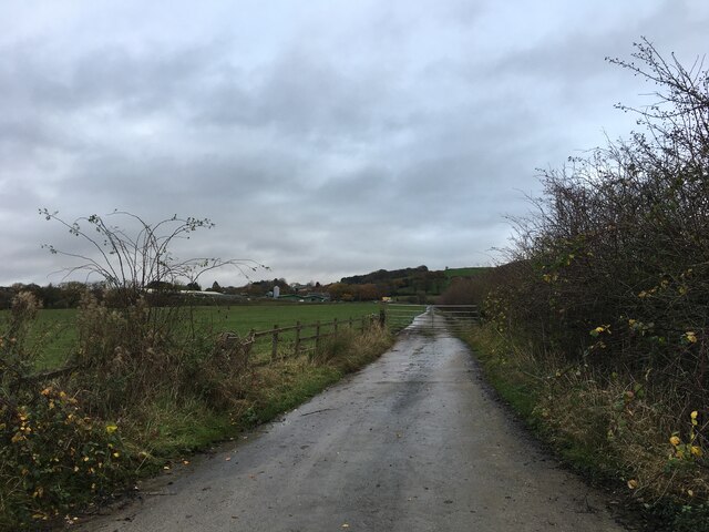
Gonder Lane Wood is a popular destination for nature enthusiasts and walkers who enjoy exploring its well-maintained footpaths. A network of trails winds through the wood, allowing visitors to immerse themselves in its tranquility and observe the wildlife. The wood also features a picnic area, providing a perfect spot for families and friends to enjoy a leisurely outdoor meal.

Managed by the local authorities, Gonder Lane Wood is carefully preserved to protect its ecological significance. It is a designated site of special scientific interest due to the presence of rare plant species and the diversity of its woodland ecosystem.

Whether it’s a peaceful stroll through its shaded pathways, a picnic in the company of nature, or an opportunity to spot wildlife, Gonder Lane Wood offers a truly enchanting experience for all who visit.

If you have any feedback on the listing, please let us know in the comments section below.

Gonder Lane Wood Images

Images are sourced within 2km of 53.886409/-2.7102404 or Grid Reference SD5343. Thanks to Geograph Open Source API. All images are credited.

Farmland near Brockmill
Gated road to Stirzaker House Farm
Old Bridge Marker on Sandholme Bridge, Barnacre with Bonds parish Bridge Marker inscribed in the parapet of Sandholme Bridge, River Calder, on the east side of Sandholme Lane. Barnacre with Bonds parish. Grade II Listed details <span class="nowrap"><a title="https://historicengland.org.uk/listing/the-list/list-entry/1072909" rel="nofollow ugc noopener" href="https://historicengland.org.uk/listing/the-list/list-entry/1072909">Link</a><img style="margin-left:2px;" alt="External link" title="External link - shift click to open in new window" src="https://s1.geograph.org.uk/img/external.png" width="10" height="10"/></span>. See also <a title="https://www.geograph.org.uk/photo/482909" href="https://www.geograph.org.uk/photo/482909">Link</a>.

Milestone Society National ID: LA_BERN02br
Old Bridge Marker on Sandholme Bridge, Barnacre with Bonds parish
Bridge Marker inscribed in the parapet of Sandholme Bridge, River Calder, on the east side of Sandholme Lane. Barnacre with Bonds parish. Grade II Listed details LinkExternal link. See also Link. Milestone Society National ID: LA_BERN02br
River Brock at Higher Brock Bridge Looking North-west from the parapet of the bridge with the water approaching bankfull stage on another rainy day in a very wet winter.
River Brock at Higher Brock Bridge
Looking North-west from the parapet of the bridge with the water approaching bankfull stage on another rainy day in a very wet winter.
A pasture on Eccles Farm The cows are not expecting rain, they're just resting their legs
A pasture on Eccles Farm
The cows are not expecting rain, they're just resting their legs
Butt Hill - access to Cobble Hey Farm & Gardens
Bleasedale Lane On the left of the road is Black Wood.
Bleasedale Lane
On the left of the road is Black Wood.
Higher Brock Bridge
Higher Brock Bridge
The ghost of the River Brock The accidental play of light on the river stones and boulders has created in this shot the figure of a man in flat cap seated bottom right looking down to the right.
The ghost of the River Brock
The accidental play of light on the river stones and boulders has created in this shot the figure of a man in flat cap seated bottom right looking down to the right.
The River Brock
The River Brock
Higher Brock Bridge The water level is very low after the long dry spell.
Higher Brock Bridge
The water level is very low after the long dry spell.
Snape Rake Lane Footpath and track to the River Brock
Snape Rake Lane
Footpath and track to the River Brock
A dry stone wall as the field boundary Huds Brook Plantation at the end
A dry stone wall as the field boundary
Huds Brook Plantation at the end
White Lee Lane descending towards Lickhurst Brook
In the Valley of the River Brock (1)
In the Valley of the River Brock (2)
Track outside Holling Shears Farm Adopted by a public footpath, heading west towards the River Brock
Track outside Holling Shears Farm
Adopted by a public footpath, heading west towards the River Brock
Woodland on Bleasdale Lane
Show me another place!

Gonder Lane Wood is located at Grid Ref: SD5343 (Lat: 53.886409, Lng: -2.7102404)

Administrative County: Lancashire

District: Wyre

Police Authority: Lancashire

What 3 Words

///improve.photos.squabbles. Near Catterall, Lancashire

Related Wikis

Claughton, Wyre

Claughton ( KLY-tən) is a sparse village and civil parish in the county of Lancashire in the north of England, in the Borough of Wyre. The population of...

Calder Vale

Calder Vale is an English village, located on the edge of the Forest of Bowland in Lancashire. It lies on the River Calder in a deep valley with only...

Garstang and Catterall railway station

Garstang and Catterall railway station served as the interchange between the Garstang and Knot-End Railway and the London and North Western Railway, in...

Barnacre-with-Bonds

Barnacre-with-Bonds is a civil parish in the Wyre district of Lancashire, England. According to the 2001 census it had a population of 1,751 increasing...

Nearby Amenities

Located within 500m of 53.886409,-2.7102404
Mill Banks Wood
Natural: wood
Source: OS OpenData StreetView
Lat/Long: 53.890092/-2.7143005
The data included in this document is from www.openstreetmap.org. The data is made available under ODbL.

Have you been to Gonder Lane Wood?

Leave your review of Gonder Lane Wood below (or comments, questions and feedback).