Gill Wood
Wood, Forest in Lancashire Lancaster
England
Gill Wood
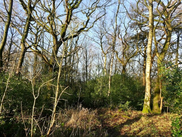
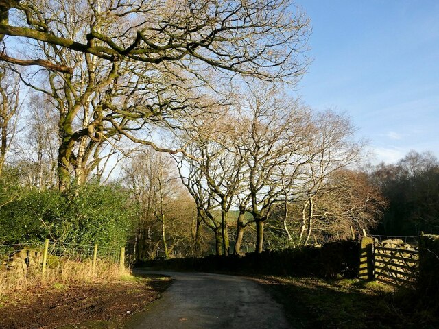
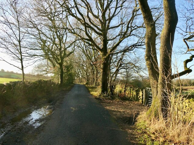
Gill Wood is a picturesque forest located in Lancashire, England. This enchanting wood is nestled within the idyllic countryside, offering breathtaking natural beauty and a tranquil atmosphere.
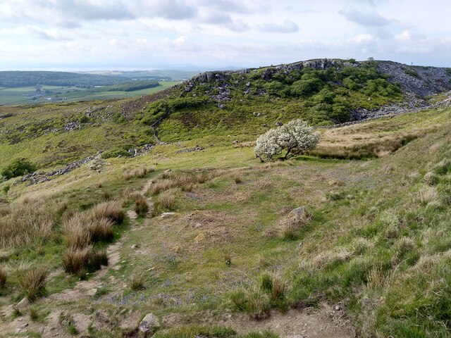
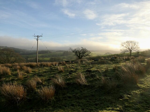
Covering a vast area, Gill Wood is home to a diverse range of plant and animal species. The lush greenery comprises a mixture of deciduous and evergreen trees, including oak, beech, and pine, creating a rich and vibrant ecosystem. The forest floor is carpeted with a variety of ferns, wildflowers, and moss, adding to the enchanting ambiance.
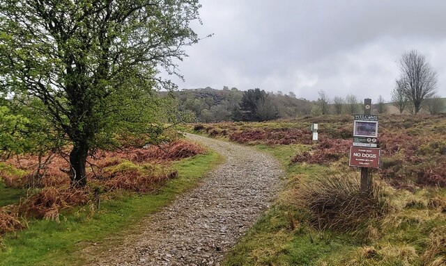
The wood is crisscrossed with a network of well-maintained walking trails, enabling visitors to explore its hidden treasures. These trails cater to all levels of fitness, from leisurely strolls to more challenging hikes. Along the way, hikers can discover babbling brooks, charming streams, and small waterfalls, enhancing the overall experience.
Gill Wood is a haven for wildlife enthusiasts, with abundant birdlife, including woodpeckers, owls, and warblers. The forest also provides a habitat for various mammals, such as deer, foxes, and badgers. Nature lovers can enjoy observing these creatures in their natural habitat, making Gill Wood an ideal spot for wildlife photography and birdwatching.
Visitors can also find designated picnic areas and benches throughout the wood, allowing for a peaceful break amidst nature. The forest is open year-round, with each season bringing its own unique beauty and charm. In autumn, the vibrant hues of red, orange, and yellow paint a stunning landscape, while spring showcases a carpet of colorful wildflowers.
Gill Wood is a true gem within Lancashire, offering visitors a serene escape from the bustling city life and a chance to immerse themselves in the wonders of nature.
If you have any feedback on the listing, please let us know in the comments section below.
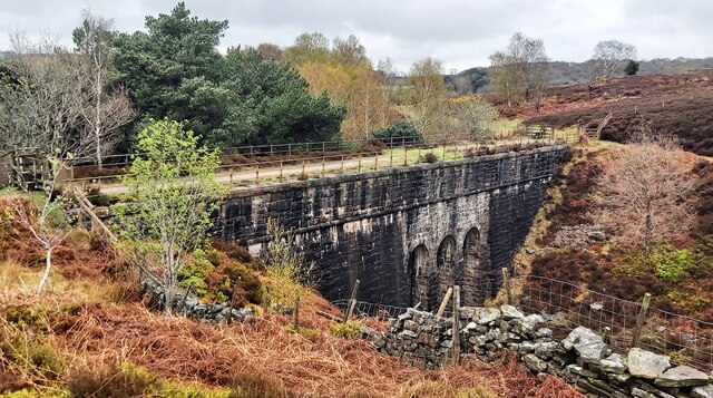
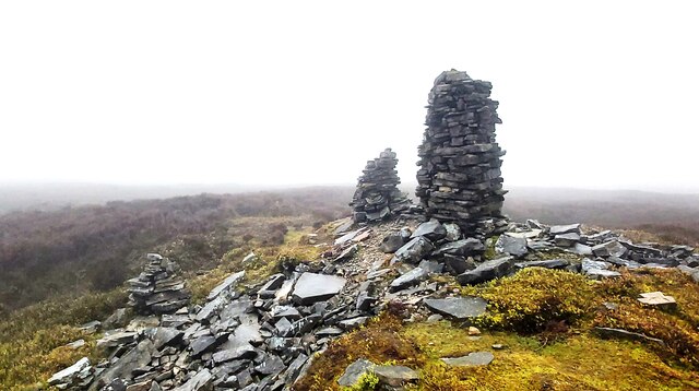
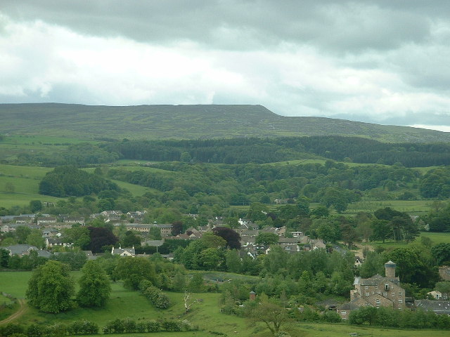
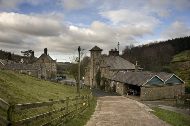
Gill Wood Images
Images are sourced within 2km of 54.044796/-2.7130462 or Grid Reference SD5361. Thanks to Geograph Open Source API. All images are credited.


Gill Wood is located at Grid Ref: SD5361 (Lat: 54.044796, Lng: -2.7130462)
Administrative County: Lancashire
District: Lancaster
Police Authority: Lancashire
What 3 Words
///routs.thundered.almost. Near Caton, Lancashire
Nearby Locations
Related Wikis

St Peter's Church, Quernmore
St Peter's Church is in the village of Quernmore, Lancashire, England. It is an active Anglican parish church in the deanery of Lancaster and Morecambe...

Clougha Pike
Clougha Pike ( KLUUF-ə) is a hill in the Forest of Bowland in Lancashire, England. From the west it looms over the Conder Valley, the city of Lancaster...

Quernmore Park
Quernmore Park Hall is a grade II* listed Georgian country house which stands in a 20-acre estate in the village of Quernmore, part of the City of Lancaster...

Quernmore
Quernmore (pronounced KWOR-mər) is a village and civil parish in the City of Lancaster in Lancashire, England. It is located about 3 miles (5 km) east...
Caton-with-Littledale
The civil parish of Caton-with-Littledale is situated in Lancashire, England, near the River Lune. The parish lies within the Forest of Bowland Area of...

Grit Fell
Grit Fell is a lonely hill between Clougha Pike and Ward's Stone in the Forest of Bowland in Lancashire, England. Covered by heather and large bogs, it...
Littledale Hall
Littledale Hall is a former country house in the civil parish of Caton-with-Littledale in Lancashire, England, some 10 miles (16 km) east of Lancaster...
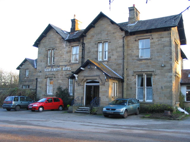
The Scarthwaite Hotel
The Scarthwaite Country House Hotel at Crook O’Lune near Caton in Lancashire is a house of historical significance. It was built in 1858 by Adam Hodgson...
Nearby Amenities
Located within 500m of 54.044796,-2.7130462Have you been to Gill Wood?
Leave your review of Gill Wood below (or comments, questions and feedback).