Alby Wood

Wood, Forest in Westmorland South Lakeland

England

Alby Wood

Cattle grazing near Holme Park Quarry
Cattle grazing near Holme Park Quarry Credit: Eirian Evans

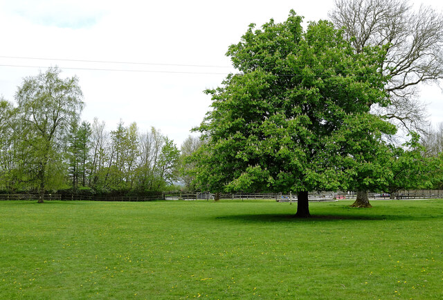
Alby Wood, located in the picturesque region of Westmorland in England, is a charming forest that captivates visitors with its natural beauty and serene atmosphere. Covering an area of approximately 100 acres, this woodland is home to a diverse range of flora and fauna, making it a haven for nature enthusiasts and wildlife lovers alike.

The predominant tree species found in Alby Wood are oak, beech, and birch, which create a dense canopy that provides a cool shade during the summer months. The forest floor is adorned with a carpet of wildflowers, such as bluebells and primroses, which adds a splash of vibrant colors to the surroundings.

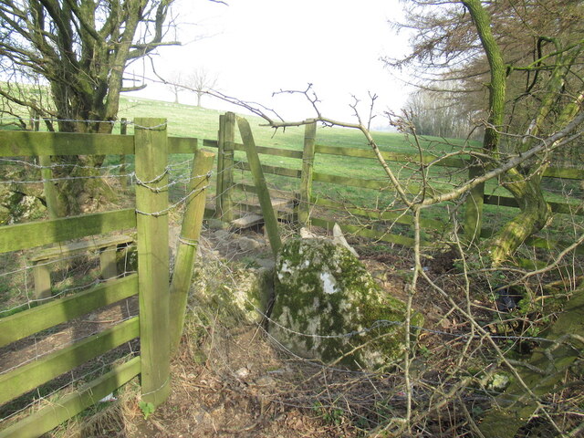
Alby Wood offers a network of well-maintained trails that wind through the forest, providing visitors with an opportunity to explore its hidden corners and discover its hidden treasures. Whether it's a leisurely stroll or an invigorating hike, the woodland caters to all levels of fitness and offers breathtaking views at every turn.

The forest is also a sanctuary for a variety of wildlife species, including deer, foxes, badgers, and a myriad of bird species. Birdwatchers will be delighted to spot woodpeckers, owls, and various migratory birds that use Alby Wood as a resting point during their journeys.

Alby Wood is not only a natural wonderland but also a place of historical significance. It is believed that the woodland has been in existence for centuries and has witnessed the changing landscapes and the passage of time.

In conclusion, Alby Wood in Westmorland is a magical destination that exudes tranquility and offers a chance to immerse oneself in nature's wonders. Its lush vegetation, diverse wildlife, and rich history make it a must-visit for anyone seeking a peaceful retreat in the heart of nature.

If you have any feedback on the listing, please let us know in the comments section below.
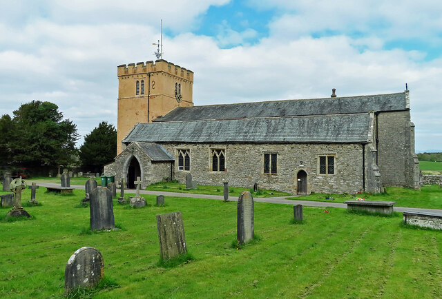
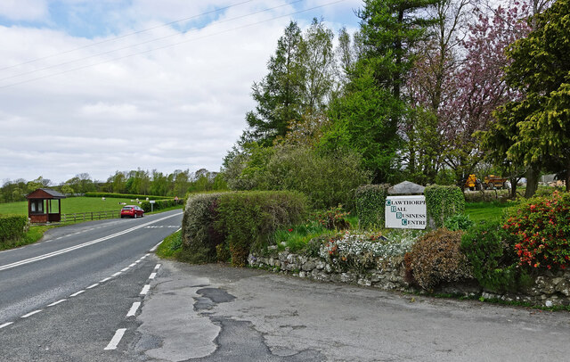
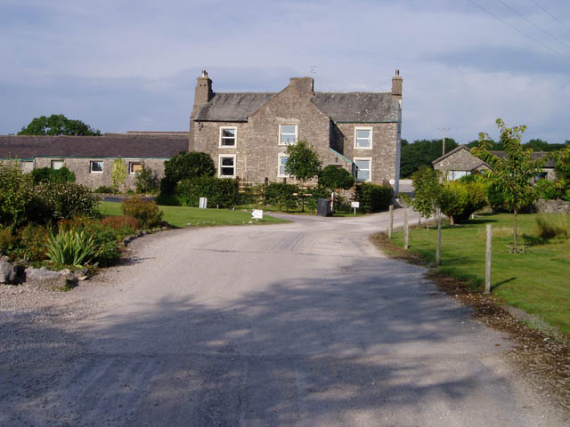
Alby Wood Images

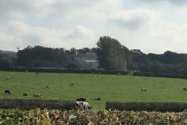
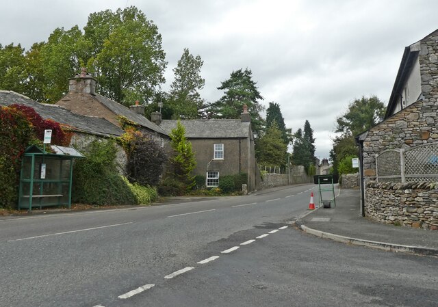
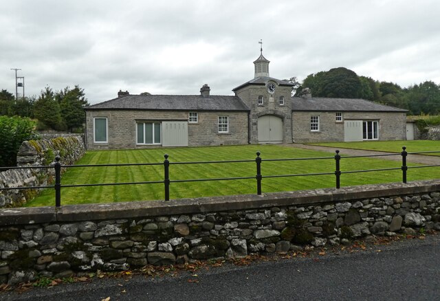
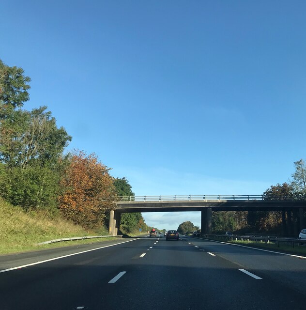
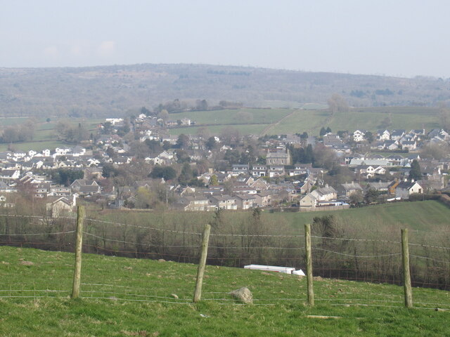
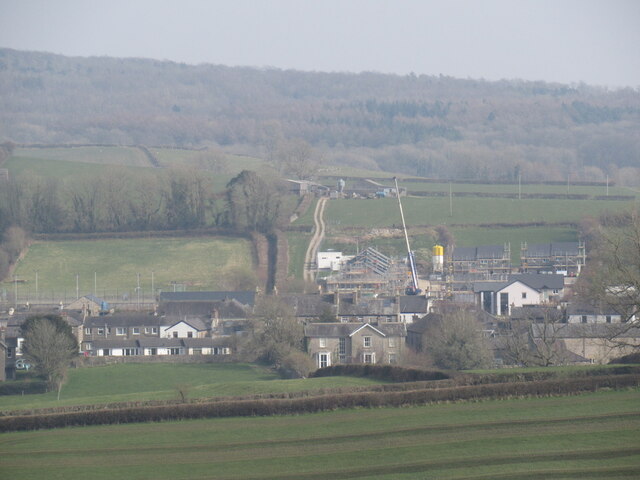
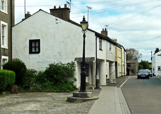
Images are sourced within 2km of 54.191349/-2.7175288 or Grid Reference SD5377. Thanks to Geograph Open Source API. All images are credited.

Cattle grazing near Holme Park Quarry
Turning for Burton-in-Kendal
Converted stable block, Home Farm
B6384 bridge  - M6 northbound
B6384 bridge - M6 northbound
Station Lane bridge  - M6 northbound
Station Lane bridge - M6 northbound
Holy Trinity Church Holme Holy Trinity Church Holme was originally built as a Chapel of Ease from St. James, Burton-in-Kendal in 1839, gaining independence in 1864. It has recently been refurbished to provide Church seating for 130, together with a new meeting room.
Set back across a stream parallel to the road, the church has a landscaped setting within the village. The same model as Casterton with original short chancel, limestone rubble walling and buttresses, and lancet windows linked by string course mouldings, here the tower has an embellished parapet and short pinnacles. The east lancet window sills were raised and the three stained glass panels re-fixed in the nave – but oddly, alternating in side and position, losing their relationship. However the east window by Alice Gordon (1930) is the reward. The west end of the nave has been screened off full height and sub-divided to create ground floor facilities and an upper room; never easy to do well, but here at least it is discrete and works to yield practical benefits.
Holy Trinity Church Holme
Holy Trinity Church Holme was originally built as a Chapel of Ease from St. James, Burton-in-Kendal in 1839, gaining independence in 1864. It has recently been refurbished to provide Church seating for 130, together with a new meeting room. Set back across a stream parallel to the road, the church has a landscaped setting within the village. The same model as Casterton with original short chancel, limestone rubble walling and buttresses, and lancet windows linked by string course mouldings, here the tower has an embellished parapet and short pinnacles. The east lancet window sills were raised and the three stained glass panels re-fixed in the nave – but oddly, alternating in side and position, losing their relationship. However the east window by Alice Gordon (1930) is the reward. The west end of the nave has been screened off full height and sub-divided to create ground floor facilities and an upper room; never easy to do well, but here at least it is discrete and works to yield practical benefits.
The Coach House At the junction of Main Road and Boon Town, dating back to the late 18th Century, the property was once the coach and animal house to the neighbouring manor house. It is Grade II listed. <span class="nowrap"><a title="https://historicengland.org.uk/listing/the-list/list-entry/1087315" rel="nofollow ugc noopener" href="https://historicengland.org.uk/listing/the-list/list-entry/1087315">Link</a><img style="margin-left:2px;" alt="External link" title="External link - shift click to open in new window" src="https://s1.geograph.org.uk/img/external.png" width="10" height="10"/></span>
The Coach House
At the junction of Main Road and Boon Town, dating back to the late 18th Century, the property was once the coach and animal house to the neighbouring manor house. It is Grade II listed. LinkExternal link
Moto Service Station, Burton-in-Kendal
Escape from the Services Stile at the back of Burton Services on the M6.  Handy for a journey break.
Escape from the Services
Stile at the back of Burton Services on the M6. Handy for a journey break.
Ashes, Hanging Hill There is a line of stones here, an old field boundary.
Ashes, Hanging Hill
There is a line of stones here, an old field boundary.
Burton-in-Kendal View from the summit of Hanging Hill with the M6 just about in shot.
Burton-in-Kendal
View from the summit of Hanging Hill with the M6 just about in shot.
House building, Burton-in-Kendal
Exit here for Burton-in-Kendal services Burton-in-Kendal services are accessible for northbound traffic on the M6.
Exit here for Burton-in-Kendal services
Burton-in-Kendal services are accessible for northbound traffic on the M6.
Commemorative lamp post in Burton-in-Kendal A plaque tells that the lamp post was erected to commemorate the marriage of H.R.H. Albert Edward, Prince of Wales, on the 10th day of March 1863. It doesn’t name his bride, who was Alexandra of Denmark.
Commemorative lamp post in Burton-in-Kendal
A plaque tells that the lamp post was erected to commemorate the marriage of H.R.H. Albert Edward, Prince of Wales, on the 10th day of March 1863. It doesn’t name his bride, who was Alexandra of Denmark.
18th century graveslab at St James A far-travelled young man for the 18th century. The inscription reads:
Here Resteth the Body of … …
Who was Born in the County of Galloway
North Britan, and died at this place
May 10th 1781 Aged 24 years.
18th century graveslab at St James
A far-travelled young man for the 18th century. The inscription reads: Here Resteth the Body of … … Who was Born in the County of Galloway North Britan, and died at this place May 10th 1781 Aged 24 years.
St James Churchyard An interesting building with some interesting old gravestones in the churchyard. Viewed in disappointing light conditions.
St James Churchyard
An interesting building with some interesting old gravestones in the churchyard. Viewed in disappointing light conditions.
Clawthorpe Hall Business Centre The former hotel and leisure complex has been converted into a centre with conference facilities and business suites.
Clawthorpe Hall Business Centre
The former hotel and leisure complex has been converted into a centre with conference facilities and business suites.
Footpath through Curwen Woods The first part of the walk goes through open parkland with mature trees.
Footpath through Curwen Woods
The first part of the walk goes through open parkland with mature trees.
Show me another place!

Alby Wood is located at Grid Ref: SD5377 (Lat: 54.191349, Lng: -2.7175288)

Administrative County: Cumbria

District: South Lakeland

Police Authority: Cumbria

What 3 Words

///gossiped.potions.innovator. Near Milnthorpe, Cumbria

Nearby Locations

Clawthorpe Alby Wood

Related Wikis

Nearby Amenities

Located within 500m of 54.191349,-2.7175288
Bus Stop
Clawthorpe Lodge
Bus: yes
Naptan AtcoCode: 090079104384
Naptan Bearing: N
Naptan CommonName: Clawthorpe Lodge
Naptan Indicator: opp
Naptan Landmark: Clawthorpe Hall
Naptan NaptanCode: cumdtgta
Naptan Street: A6070
Naptan Verified: no
Public Transport: platform
Shelter: yes
Source: naptan_import
Lat/Long: 54.1918213/-2.7210303
Bus Stop
Clawthorpe Hall
Bench: yes
Bin: yes
Bus: yes
Check Date Bin: 2023-06-03
Naptan AtcoCode: 090079104385
Naptan Bearing: S
Naptan BusStopType: MKD
Naptan CommonName: Clawthorpe Hall
Naptan Indicator: near
Naptan Landmark: Sunny Glen
Naptan LocalityCode: E0006185
Naptan NaptanCode: cumdtgtd
Naptan Street: A6070
Naptan Verified: yes
Public Transport: platform
Ref: cumdtgtd
Shelter: no
Source: naptan_import
Tactile Paving: no
Lat/Long: 54.1914691/-2.7201757
Post Box
Collection Times: Mo-Fr 16:15; Sa 11:00
Drive Through: no
Post Box Type: lamp
Ref: LA6 89
Lat/Long: 54.1915165/-2.7201023
Bus Stop
Bus: yes
Departures Board: no
Public Transport: platform
Shelter: no
Lat/Long: 54.1875302/-2.7185548
Barrier: stile
Stile: stepover
Lat/Long: 54.1911865/-2.7241277
Barrier: stile
Stile: stepover
Lat/Long: 54.1924948/-2.7238533
Barrier: kissing_gate
Lat/Long: 54.1937802/-2.7224681
Power: pole
Lat/Long: 54.1876988/-2.7206022
Power: pole
Lat/Long: 54.1879499/-2.7192906
Power: pole
Lat/Long: 54.1882418/-2.7177322
Power: pole
Lat/Long: 54.1884992/-2.7164072
Power: pole
Lat/Long: 54.1887189/-2.7151251
Power: pole
Lat/Long: 54.1894581/-2.7143526
Power: pole
Lat/Long: 54.1901219/-2.7136472
Power: pole
Lat/Long: 54.1910274/-2.7132019
Power: pole
Lat/Long: 54.1916818/-2.7128452
Power: pole
Lat/Long: 54.1926203/-2.7123946
Power: pole
Lat/Long: 54.1929985/-2.7113378
Give Way
Direction: forward
Lat/Long: 54.1926856/-2.7222082
Give Way
Direction: backward
Lat/Long: 54.1915838/-2.7203318
Clawthorpe Lodge
Bus: yes
Public Transport: stop_position
Lat/Long: 54.1918643/-2.7209688
Clawthorpe Hall
Bus: yes
Public Transport: stop_position
Lat/Long: 54.1914798/-2.7203109
Generator Method: photovoltaic
Generator Orientation: south_east
Generator Output Electricity: yes
Generator Solar Modules: 22
Generator Source: solar
Generator Type: solar_photovoltaic_panel
Location: roof
Power: generator
Lat/Long: 54.1929342/-2.7162981
Location Transition: yes
Material: wood
Power: pole
Lat/Long: 54.1915662/-2.7239614
Power: pole
Lat/Long: 54.1916354/-2.7224723
Power: pole
Lat/Long: 54.1916787/-2.7209906
Power: pole
Lat/Long: 54.1918213/-2.7202479
Power: pole
Lat/Long: 54.192124/-2.7187995
Power: pole
Lat/Long: 54.1926212/-2.7182859
Power: pole
Lat/Long: 54.1946993/-2.7160643
Fixme: Unfinished
Power: pole
Lat/Long: 54.1954975/-2.7151736
Material: wood
Power: pole
Lat/Long: 54.1914249/-2.7251649
Information: guidepost
Tourism: information
Lat/Long: 54.1925014/-2.7238137
Man Made: street_cabinet
Lat/Long: 54.1916843/-2.7249671
Man Made: monitoring_station
Lat/Long: 54.1916878/-2.7249572
Man Made: monitoring_station
Lat/Long: 54.1918492/-2.7249671
Information: guidepost
Tourism: information
Lat/Long: 54.1937644/-2.722488
Bench
Lat/Long: 54.191493/-2.720181
Waste Basket
Lat/Long: 54.1915089/-2.720189
The data included in this document is from www.openstreetmap.org. The data is made available under ODbL.

Have you been to Alby Wood?

Leave your review of Alby Wood below (or comments, questions and feedback).