Clawthorpe
Settlement in Westmorland South Lakeland
England
Clawthorpe
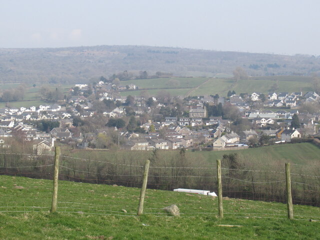
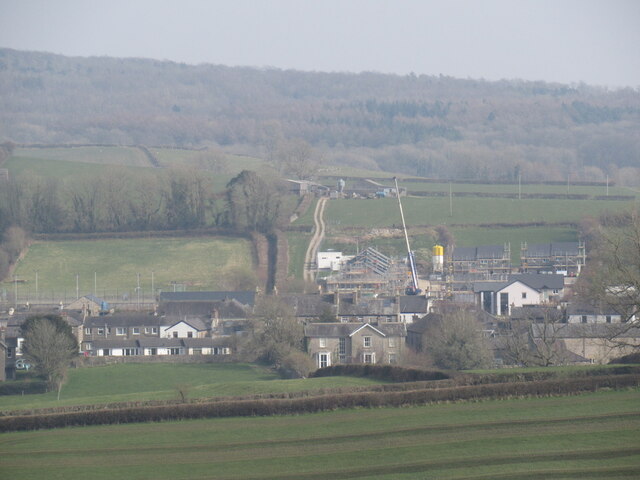
Clawthorpe is a small village located in the district of South Lakeland, within the historic county of Westmorland in northwest England. Situated on the eastern edge of the Lake District National Park, it lies approximately 5 miles south of Kendal and 15 miles northwest of Lancaster. The village is nestled amidst picturesque countryside, surrounded by rolling hills and verdant farmland.
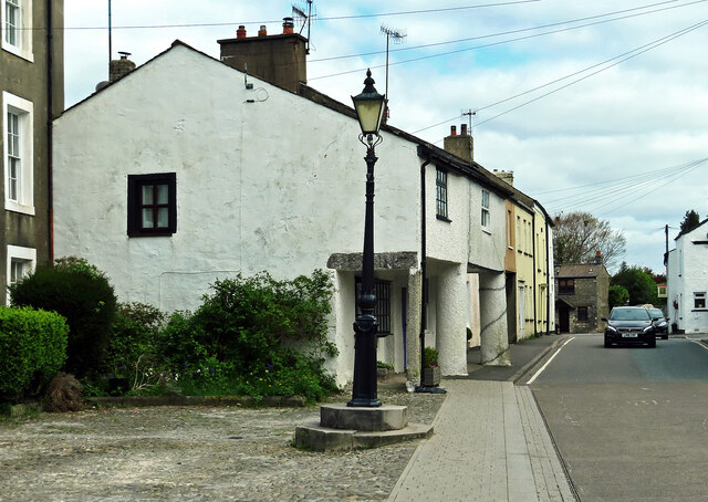
Once an agricultural community, Clawthorpe has retained its rural charm while adapting to modern times. The village is characterized by a mix of traditional stone cottages and more modern houses, creating a harmonious blend of old and new. The local community is tight-knit, with a friendly and welcoming atmosphere.
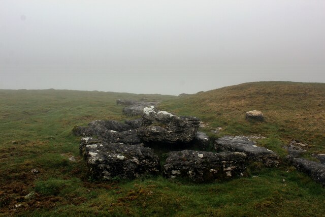
While small in size, Clawthorpe boasts stunning natural beauty and offers a range of outdoor activities for nature enthusiasts. The village is a great starting point for exploring the nearby Lake District, with its scenic walks, hiking trails, and breathtaking landscapes.
Despite its tranquility, Clawthorpe benefits from its proximity to larger towns and cities. Residents have easy access to amenities and services in Kendal and Lancaster, including shops, schools, healthcare facilities, and recreational opportunities.
In conclusion, Clawthorpe is a charming village that offers a peaceful and picturesque setting, ideal for those seeking a rural lifestyle with easy access to nearby towns and the stunning natural beauty of the Lake District.
If you have any feedback on the listing, please let us know in the comments section below.
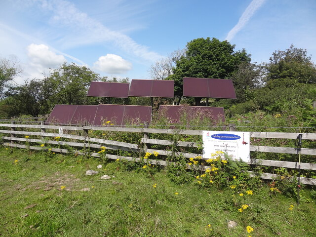
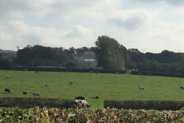
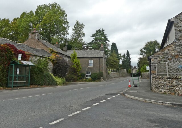
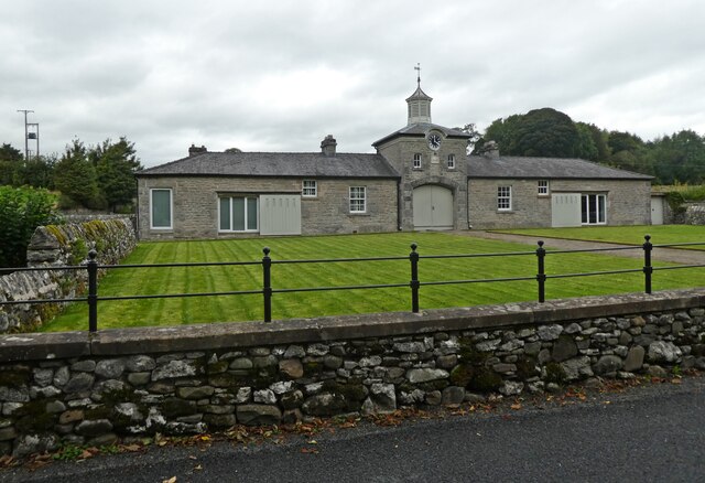
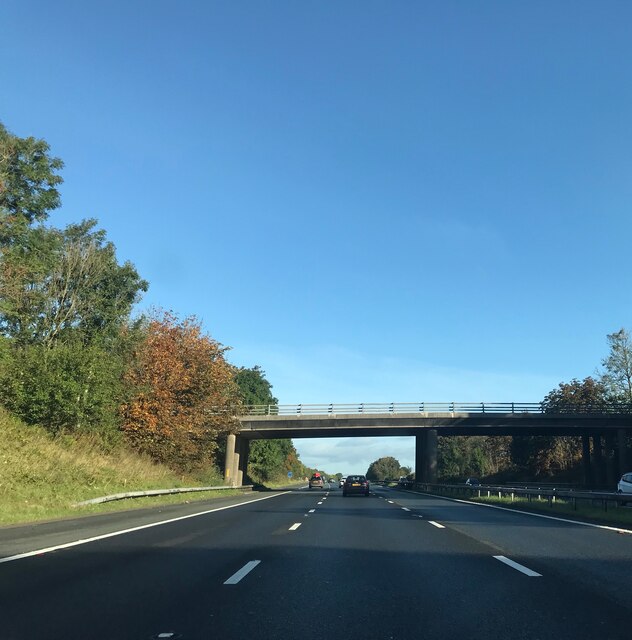
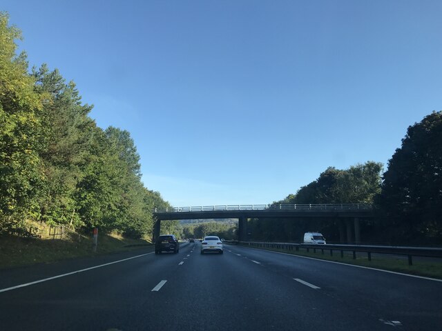
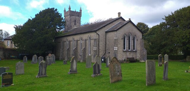
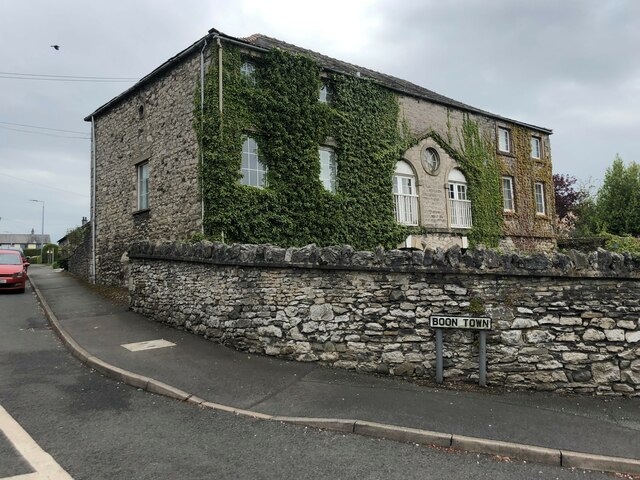
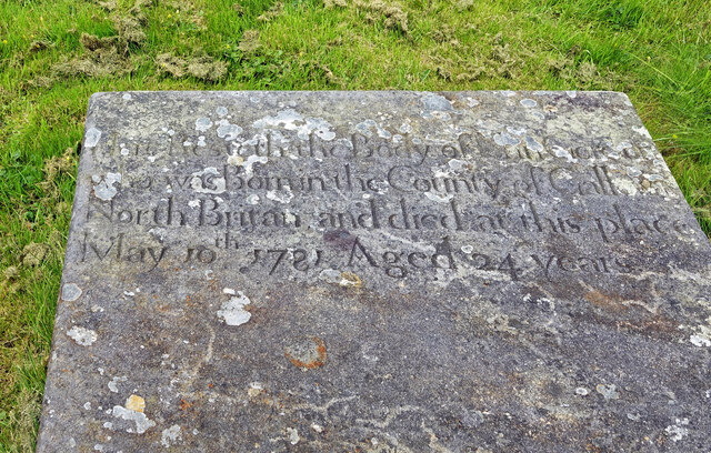
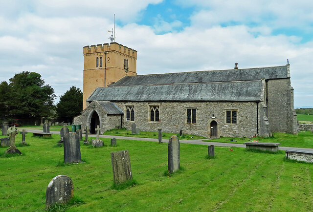
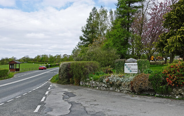
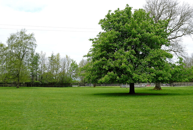
Clawthorpe Images
Images are sourced within 2km of 54.193862/-2.711902 or Grid Reference SD5377. Thanks to Geograph Open Source API. All images are credited.


Clawthorpe is located at Grid Ref: SD5377 (Lat: 54.193862, Lng: -2.711902)
Administrative County: Cumbria
District: South Lakeland
Police Authority: Cumbria
What 3 Words
///detergent.glorified.incorrect. Near Milnthorpe, Cumbria
Nearby Locations
Related Wikis
Clawthorpe
Clawthorpe is a hamlet in the South Lakeland district, in the county of Cumbria, England. It is near the village of Burton-in-Kendal and the town of Kendal...
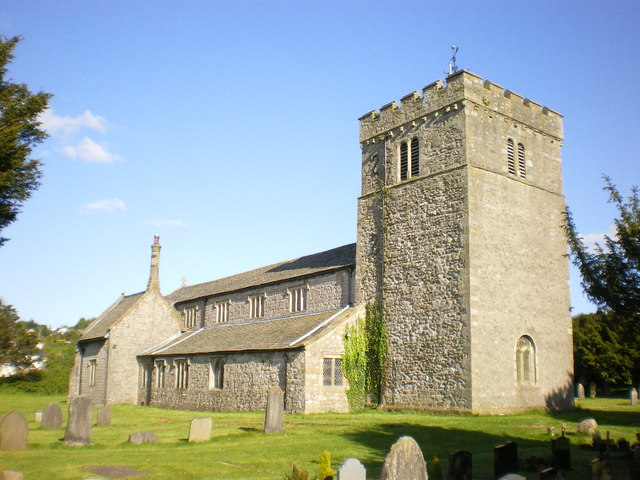
St James' Church, Burton-in-Kendal
St James' Church is in the village of Burton-in-Kendal, Cumbria, England. It is an active Anglican parish church in the deanery of Kendal, the archdeaconry...

Burton-in-Kendal
Burton-in-Kendal is a village and civil parish on the extreme southern edge of Cumbria, England. The parish contains around 660 houses and in the 2001...

Dalton, Cumbria
Dalton is a hamlet and former civil parish, now in the parish of Burton-in-Kendal, in the Westmorland and Furness district, Cumbria, England. Until 1894...
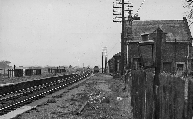
Burton and Holme railway station
Burton and Holme railway station served the village of Burton-in-Kendal, Westmorland, England, from 1846 to 1966 on the Lancaster and Carlisle Railway...

Holme, Cumbria
Holme is a village and civil parish in the South Lakeland district of Cumbria, England, about 2 miles (3.2 km) north of Burton-in-Kendal and 3 miles (4...
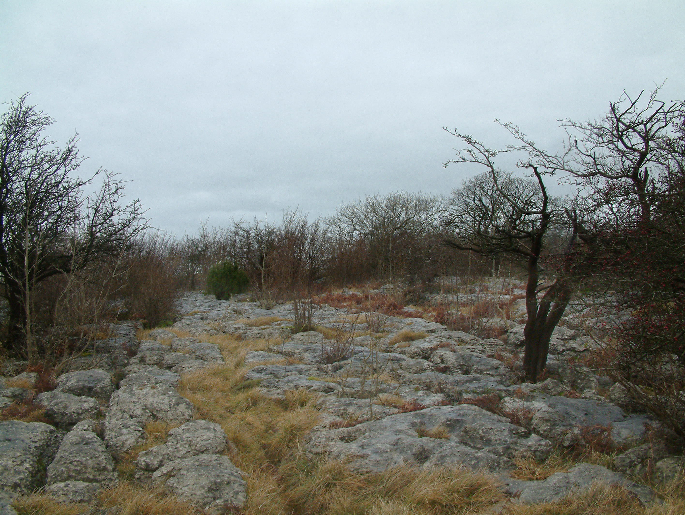
Hutton Roof Crags
Hutton Roof Crags is a hill in south-eastern Cumbria in north-west England, located near to the village of Hutton Roof. It has extensive areas of limestone...

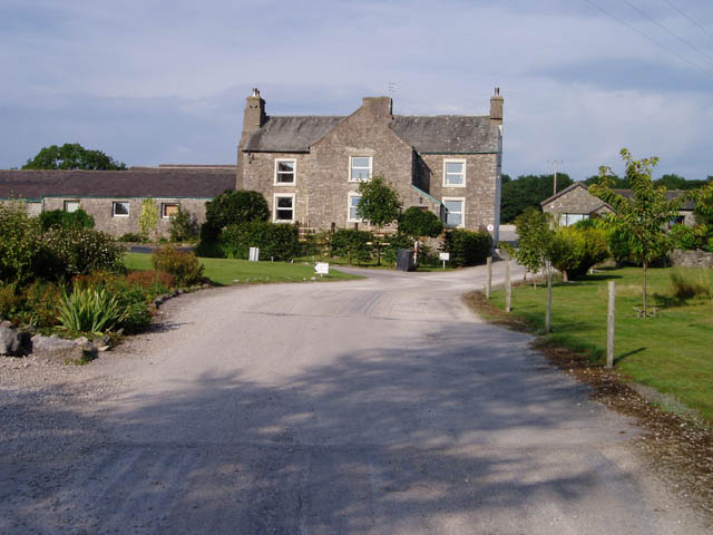
Dalton Hall, Cumbria
Dalton Hall is a country house near Burton-in-Kendal in northern England. The hall lies within the county palatine of Lancaster, while Burton lies in the...
Nearby Amenities
Located within 500m of 54.193862,-2.711902Have you been to Clawthorpe?
Leave your review of Clawthorpe below (or comments, questions and feedback).