Appletreehall

Settlement in Roxburghshire

Scotland

Appletreehall

Teviotdale from West Boonraw An extensive view over Hawick and beyond.
Teviotdale from West Boonraw Credit: Jim Barton

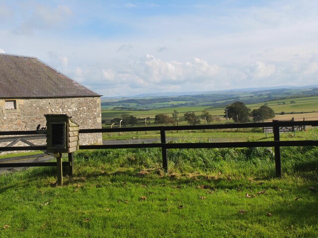
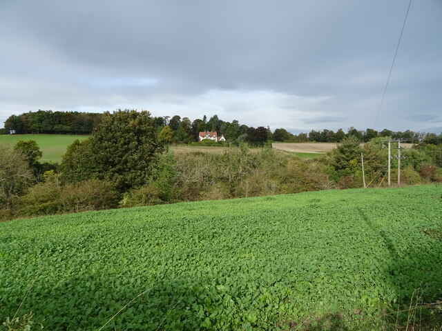
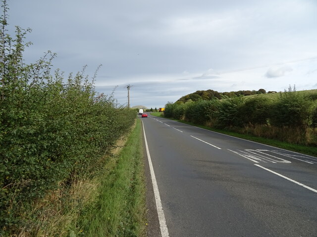
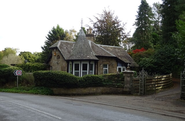
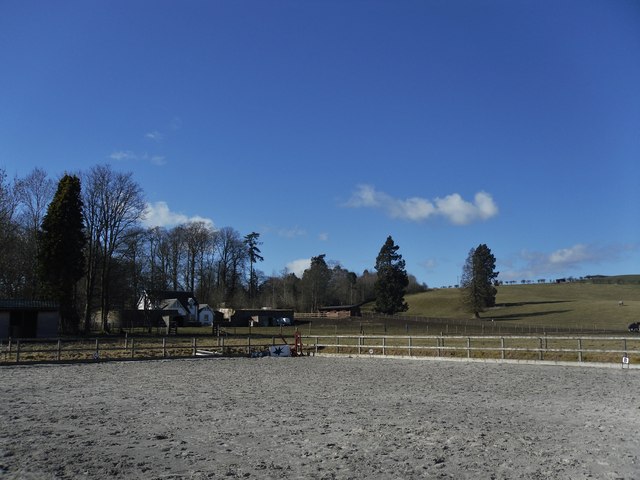
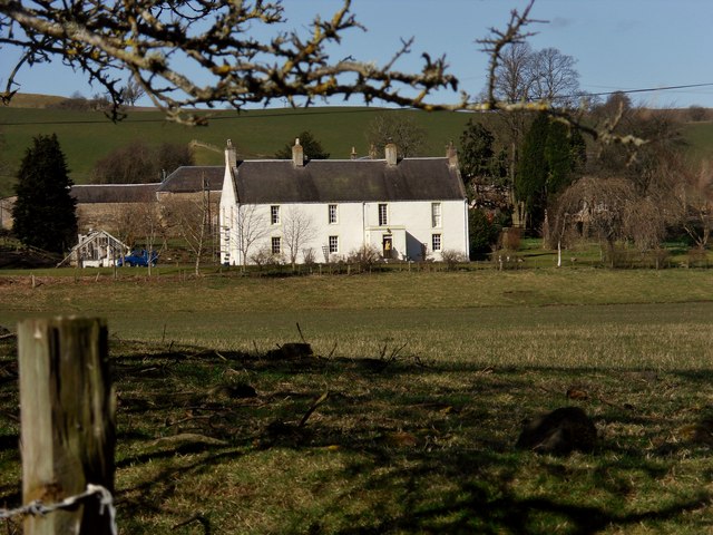
Appletreehall is a small village located in the Scottish Borders region of Roxburghshire. Situated approximately 5 miles northwest of the town of Jedburgh, it is nestled amidst picturesque countryside and rolling hills. The village is named after the numerous apple trees that once dotted the landscape, adding to its charming rural character.

With a population of around 200 residents, Appletreehall exudes a close-knit community feel. The village is primarily residential, with a mix of traditional stone-built houses and more modern properties. The surrounding countryside offers stunning views and ample opportunities for outdoor activities such as hiking, cycling, and birdwatching.

There are limited amenities within the village itself, but nearby Jedburgh provides all the necessary facilities, including shops, supermarkets, schools, and healthcare services. Appletreehall benefits from its proximity to Jedburgh, as residents can easily access a range of amenities while still enjoying the peacefulness of village life.

Historically, Appletreehall was primarily an agricultural community, with farming being the main occupation for many residents. Although farming still plays a role in the local economy, the village has seen some diversification in recent years, with residents engaged in various industries and professions.

Overall, Appletreehall offers a tranquil and idyllic setting for those seeking a peaceful rural lifestyle. With its close community ties and stunning surroundings, it is a place that encapsulates the beauty and charm of the Scottish Borders.

If you have any feedback on the listing, please let us know in the comments section below.

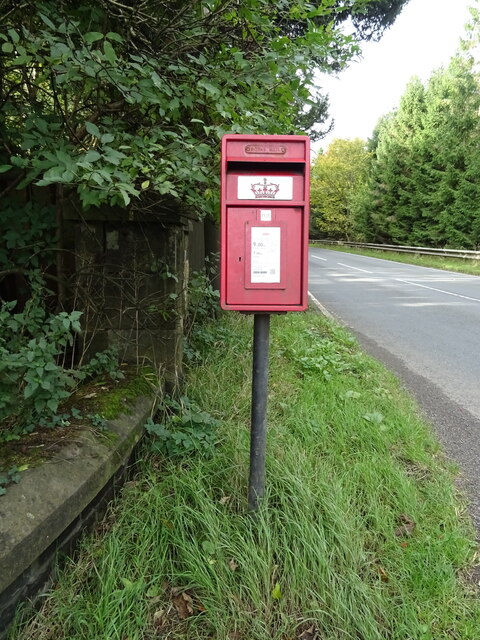
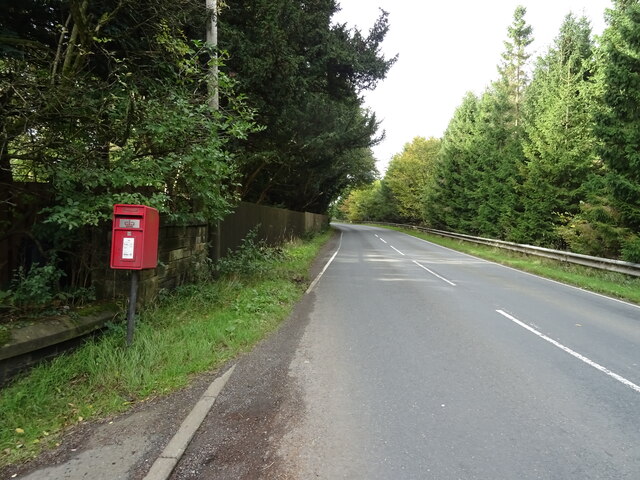
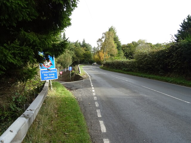
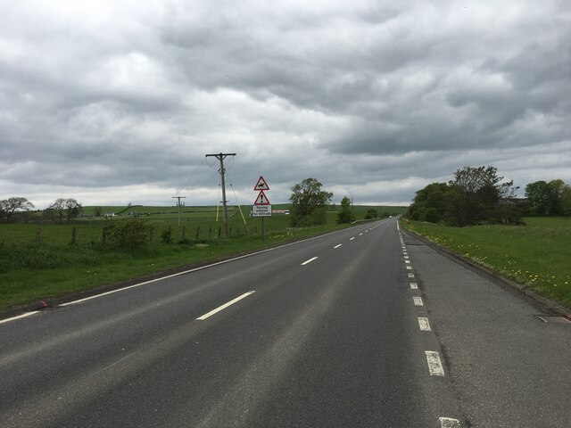
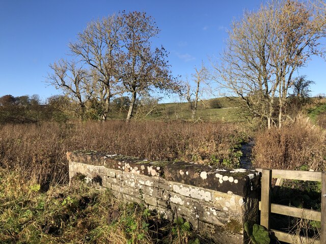
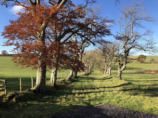
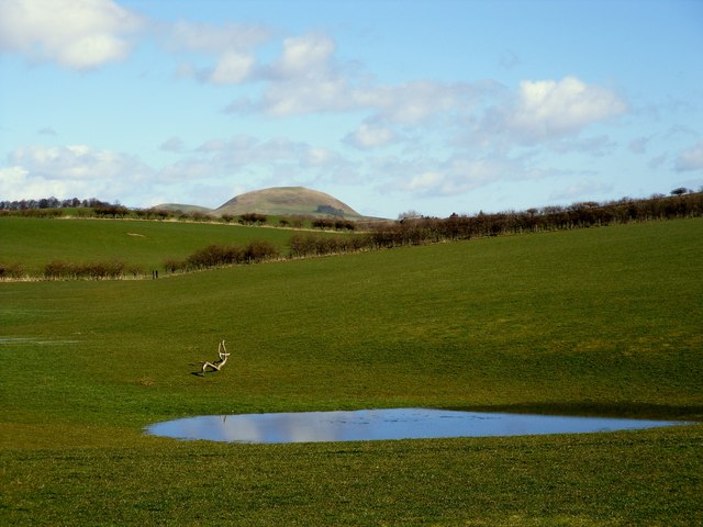
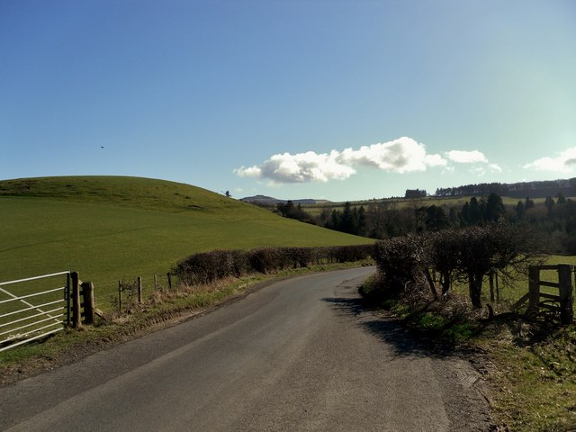
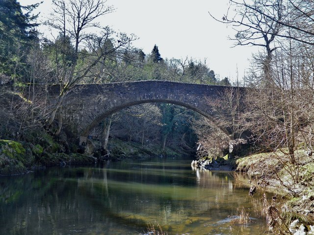
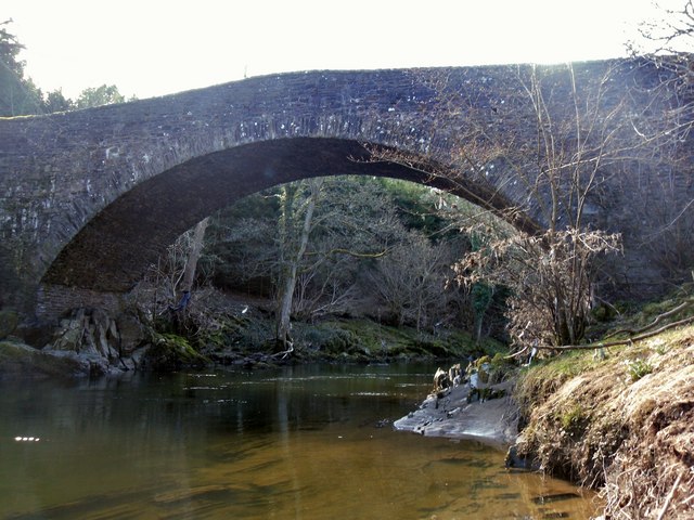
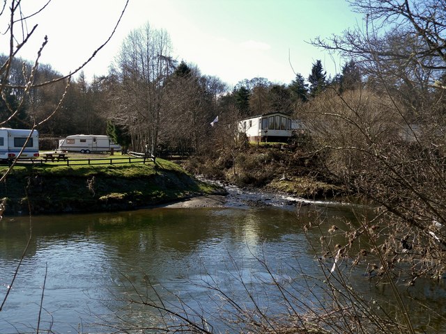
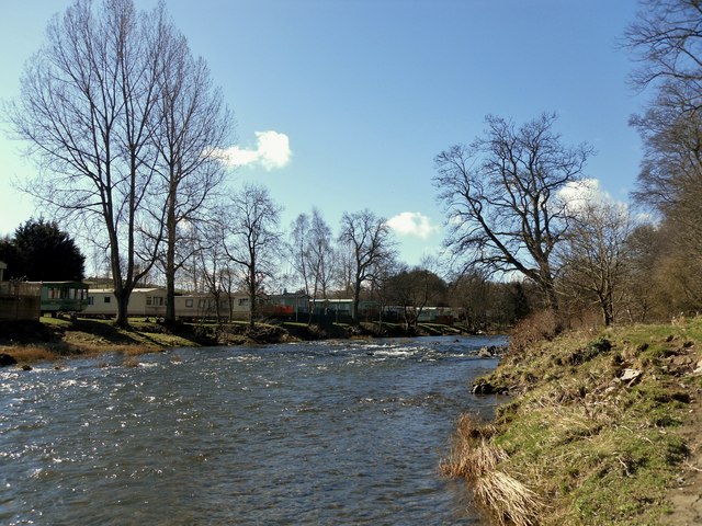
Appletreehall Images

Images are sourced within 2km of 55.448793/-2.7629941 or Grid Reference NT5117. Thanks to Geograph Open Source API. All images are credited.

Teviotdale from West Boonraw An extensive view over Hawick and beyond.
Teviotdale from West Boonraw
An extensive view over Hawick and beyond.
Crop field beside the River Teviot Narrow strip of land beside the A698.
Crop field beside the River Teviot
Narrow strip of land beside the A698.
A698 towards Denholm
Lodge on the A698 near 	Hornshole Bridge
Lodge on the A698 near Hornshole Bridge
Postbox on the A698 near Hornshole Bridge Postbox No. TD9 36.

See <a href="https://www.geograph.org.uk/photo/7017000">NT5316 : A698 near Hornshole Bridge</a> for context.
Postbox on the A698 near Hornshole Bridge
Postbox No. TD9 36. See NT5316 : A698 near Hornshole Bridge for context.
A698 near Hornshole Bridge Towards Hawick.
Showing position of Postbox No. TD9 36.

See <a href="https://www.geograph.org.uk/photo/7016998">NT5316 : Postbox on the A698 near Hornshole Bridge</a> for postbox.
A698 near Hornshole Bridge
Towards Hawick. Showing position of Postbox No. TD9 36. See NT5316 : Postbox on the A698 near Hornshole Bridge for postbox.
A698 towards Denholm At the junction of the road to Hornshole Bridge.
A698 towards Denholm
At the junction of the road to Hornshole Bridge.
A7 north of Hawick
A7 north of Hawick
Boonraw Burn A road bridge over the burn.
Boonraw Burn
A road bridge over the burn.
Old track, Horsleyhill With beech trees remaining from hedges
Old track, Horsleyhill
With beech trees remaining from hedges
Farmland at Hornshole The Minto Hills can be seen in the background
Farmland at Hornshole
The Minto Hills can be seen in the background
The Road to Hornshole
The Hornshole Bridge crosses the River Teviot
Hornshole Bridge
Hornshole Bridge
The Kirkton Burn enters the River Teviot
The Riverside Caravan Park, River Teviot
Brierly Yards
Brierly Yards
Midshiels Farm House
Show me another place!

Appletreehall is located at Grid Ref: NT5117 (Lat: 55.448793, Lng: -2.7629941)

Unitary Authority: The Scottish Borders

Police Authority: The Lothians and Scottish Borders

What 3 Words

///grazes.kingdom.crouching. Near Hawick, Scottish Borders

Nearby Locations

Appletreehall

Related Wikis

Appletreehall

Appletreehall is a village in the Scottish Borders area of Scotland, 2 miles north-east of Hawick, in the historic county of Roxburghshire. Nearby are...

Burnfoot, Hawick

Burnfoot (Scottish Gaelic: Bun na h-Aibhne, Scots: Burnfit) is a housing estate just east of the A7, in the northern part of Hawick, by the Boonraw Burn...

Mansfield Park, Hawick

Mansfield Park is a rugby union ground in Hawick, Scotland, with a capacity of approximately 5,000. It is the home of Hawick Rugby Football Club, who currently...

Stirches

Stirches is an area of Hawick in the Scottish Borders, mostly consisting of ex-council housing built in 1973. It is often considered to be one of the more...

Hawick railway station

Hawick railway station served the town of Hawick, Scottish Borders, Scotland from 1849 to 1969 on the Waverley Route. == History == The first station opened...

Hawick Library

Hawick Library is housed in the building built in 1904 in Hawick and it was one of the many libraries funded by Andrew Carnegie. The library is a Category...

Cavers, Scottish Borders

Cavers is a parish in the Scottish Borders area of Scotland, in the former county of Roxburghshire, south and east of Hawick. The largest village in the...

Cavers Castle

Cavers Castle, also known as Cavers House, is a ruined tower house located at Cavers, Scottish Borders, Scotland. Cavers Castle was a much extended tower...

Nearby Amenities

Located within 500m of 55.448793,-2.7629941
Appletreehall
Naptan AtcoCode: 69001538
Naptan Bearing: NE
Naptan BusStopType: CUS
Naptan CommonName: Appletreehall
Naptan Indicator: nr road end
Naptan Landmark: Cross Roads
Naptan NaptanCode: 72732828
Naptan Street: B6359
Naptan Verified: no
Source: naptan_import
Lat/Long: 55.4489633/-2.7628285
Appletreehall
Naptan AtcoCode: 69001539
Naptan Bearing: SW
Naptan BusStopType: CUS
Naptan CommonName: Appletreehall
Naptan Indicator: opp road end
Naptan Landmark: Cross Roads
Naptan NaptanCode: 72796745
Naptan Street: B6359
Naptan Verified: no
Source: naptan_import
Lat/Long: 55.4487148/-2.7629596
Post Box
Brand: Royal Mail
Brand Wikidata: Q638098
Mapillary: 3396801643755728
Note: Lamp box attached on it's side to a building
Operator: Royal Mail
Operator Wikidata: Q638098
Post Box Type: lamp
Ref: TD9 35
Source: survey
Survey Date: 2020-08-14
Lat/Long: 55.4489187/-2.7631811
Telephone
Booth: K6
Covered: booth
Mapillary: 3396801643755728
Source: survey
Survey Date: 2020-08-14
Lat/Long: 55.4489239/-2.7632008
Appletreehall
Place: hamlet
Wikidata: Q4781430
Wikipedia: en:Appletreehall
Lat/Long: 55.4490956/-2.7635701
Power: pole
Lat/Long: 55.4483988/-2.7563116
Power: pole
Lat/Long: 55.4482645/-2.7575285
Power: pole
Lat/Long: 55.4480848/-2.7591563
Power: pole
Lat/Long: 55.4488175/-2.7553953
Power: pole
Lat/Long: 55.4487113/-2.7563377
Power: pole
Lat/Long: 55.4517906/-2.7686834
Power: pole
Lat/Long: 55.4512886/-2.7693325
Power: pole
Lat/Long: 55.4506916/-2.7701836
Power: pole
Lat/Long: 55.4527701/-2.7601218
Power: pole
Lat/Long: 55.4521648/-2.7610391
Power: pole
Lat/Long: 55.4509768/-2.7628416
Power: pole
Lat/Long: 55.4503402/-2.7638845
Power: pole
Lat/Long: 55.44852/-2.7657602
Power: pole
Lat/Long: 55.4485805/-2.7574988
Power: pole
Lat/Long: 55.4484371/-2.7587718
Power: pole
Lat/Long: 55.4482835/-2.7601356
Power: pole
Lat/Long: 55.4481353/-2.7614514
Power: pole
Lat/Long: 55.4479965/-2.7626831
Power: pole
Lat/Long: 55.4478417/-2.764058
Power: pole
Lat/Long: 55.4476908/-2.7653976
Power: pole
Lat/Long: 55.4476359/-2.7662502
Power: pole
Lat/Long: 55.4475486/-2.7667337
Power: pole
Lat/Long: 55.4474287/-2.7677992
Power: pole
Lat/Long: 55.4473133/-2.768825
Power: pole
Lat/Long: 55.447176/-2.7700456
Power: pole
Lat/Long: 55.4479176/-2.7606711
Power: pole
Lat/Long: 55.4477895/-2.7618317
Power: pole
Lat/Long: 55.4476633/-2.7629752
Power: pole
Lat/Long: 55.4475342/-2.7641454
Power: pole
Lat/Long: 55.4475096/-2.7652652
Power: pole
Lat/Long: 55.4474851/-2.7663265
Power: pole
Lat/Long: 55.4472501/-2.76722
Power: pole
Lat/Long: 55.4469377/-2.768408
Power: pole
Lat/Long: 55.446644/-2.7695248
Give Way
Direction: backward
Lat/Long: 55.4487654/-2.7629494
Give Way
Direction: backward
Lat/Long: 55.448794/-2.763018
Generator Method: photovoltaic
Generator Output Electricity: yes
Generator Source: solar
Generator Type: solar_photovoltaic_panel
Power: generator
Lat/Long: 55.4498664/-2.7621013
Generator Method: photovoltaic
Generator Output Electricity: yes
Generator Source: solar
Generator Type: solar_photovoltaic_panel
Power: generator
Lat/Long: 55.4492549/-2.7642363
Generator Method: photovoltaic
Generator Output Electricity: yes
Generator Source: solar
Generator Type: solar_photovoltaic_panel
Power: generator
Lat/Long: 55.4500109/-2.765336
Power: pole
Lat/Long: 55.449708/-2.7648287
Power: pole
Lat/Long: 55.4494388/-2.7652436
The data included in this document is from www.openstreetmap.org. The data is made available under ODbL.

Have you been to Appletreehall?

Leave your review of Appletreehall below (or comments, questions and feedback).