Green Plantation
Wood, Forest in Somerset Mendip
England
Green Plantation
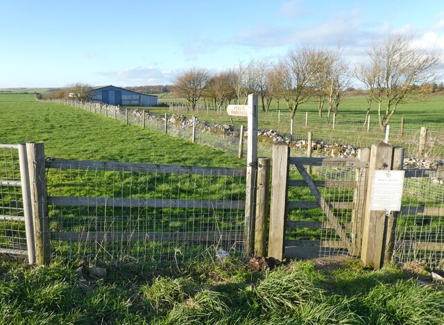
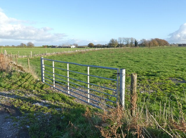
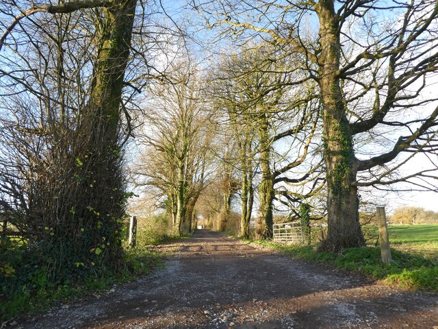
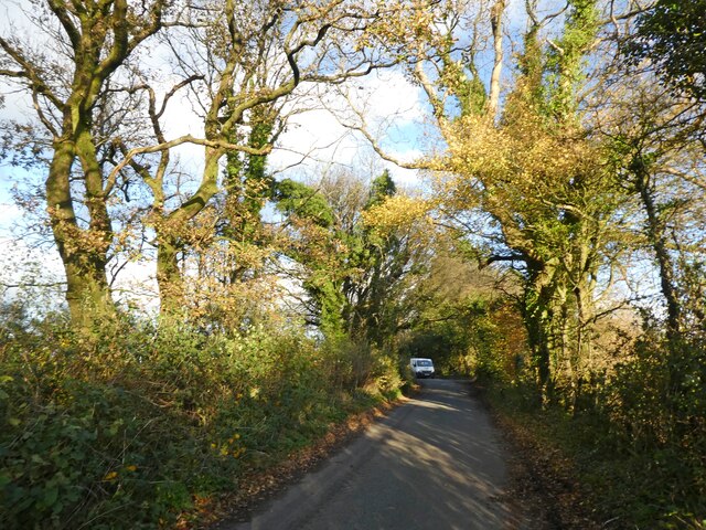
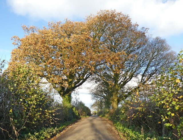
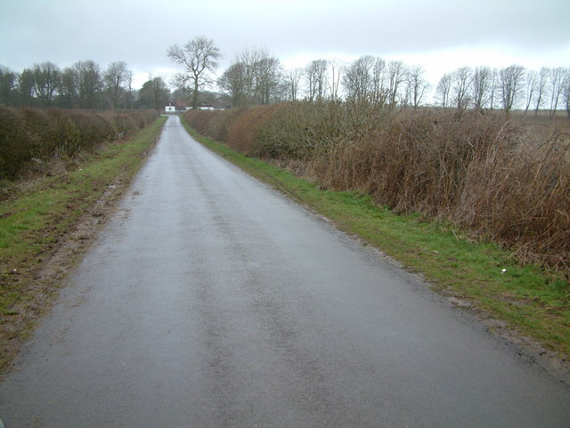
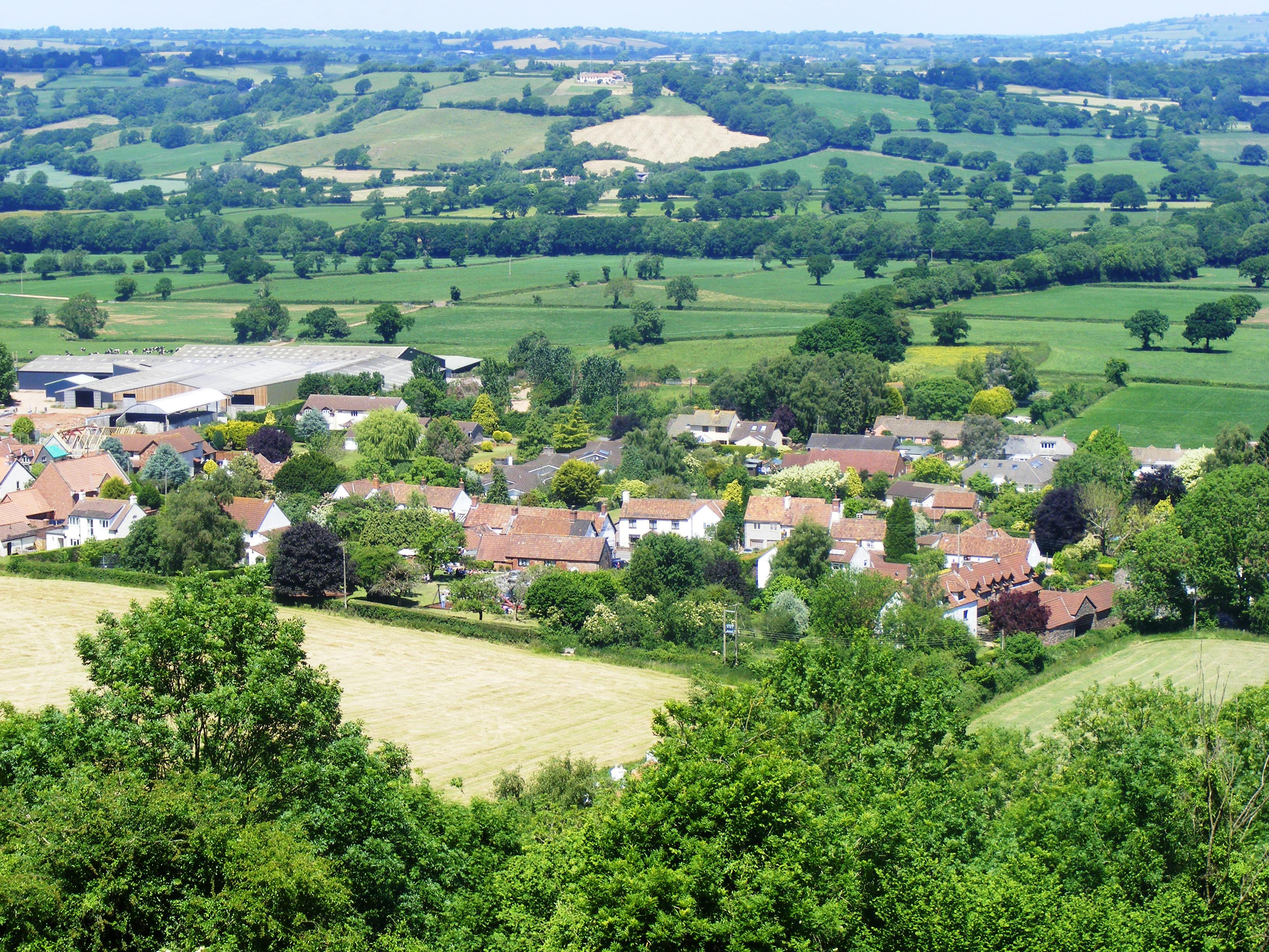
Green Plantation, Somerset, also known as Wood or Forest, is a picturesque rural area located in the county of Somerset, England. Nestled amidst rolling hills and lush greenery, this plantation is renowned for its scenic beauty and tranquil atmosphere.
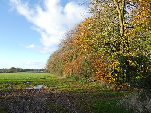
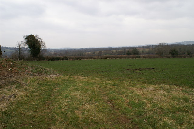
With an area spanning approximately 500 acres, Green Plantation is home to a diverse range of flora and fauna. The plantation boasts a dense forest cover, dominated by tall and majestic trees such as oak, beech, and birch. These trees not only enhance the aesthetic appeal of the area but also provide a habitat for a variety of wildlife.
The plantation is a haven for nature enthusiasts and avid birdwatchers. It is a popular spot for bird migration, attracting a multitude of species throughout the year. Visitors can catch a glimpse of colorful birds such as robins, sparrows, and woodpeckers, while lucky ones may even spot rare species like kingfishers and buzzards.
The plantation offers numerous trails and walking paths, allowing visitors to explore the area at their own pace. These paths wind through the woods, offering breathtaking views of the surrounding countryside. The peaceful ambiance provides an ideal setting for leisurely walks, picnics, and photography.
Green Plantation is not only a natural retreat but also serves as an important ecosystem. The dense vegetation acts as a carbon sink, aiding in the reduction of greenhouse gases and contributing to the fight against climate change.
In conclusion, Green Plantation, Somerset, is a scenic and serene destination that offers a delightful escape from the hustle and bustle of everyday life. Its lush greenery, diverse wildlife, and tranquil surroundings make it a must-visit location for nature lovers and those seeking a peaceful retreat.
If you have any feedback on the listing, please let us know in the comments section below.
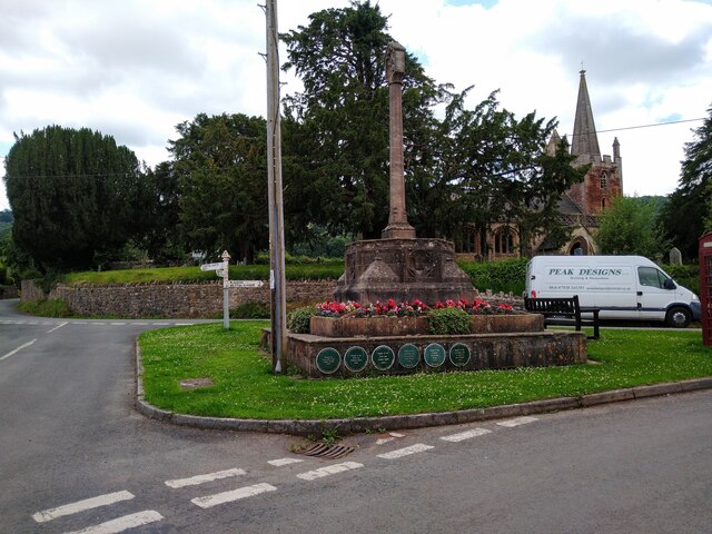
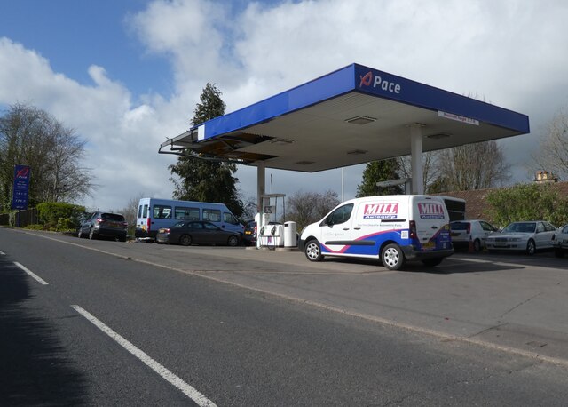
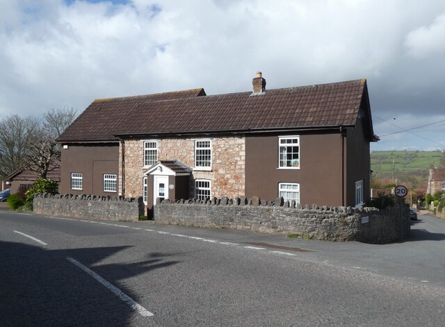
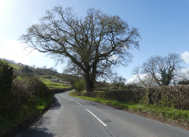
Green Plantation Images
Images are sourced within 2km of 51.307998/-2.6846005 or Grid Reference ST5256. Thanks to Geograph Open Source API. All images are credited.


Green Plantation is located at Grid Ref: ST5256 (Lat: 51.307998, Lng: -2.6846005)
Administrative County: Somerset
District: Mendip
Police Authority: Avon and Somerset
What 3 Words
///creamed.umbrellas.path. Near Compton Martin, Somerset
Nearby Locations
Related Wikis

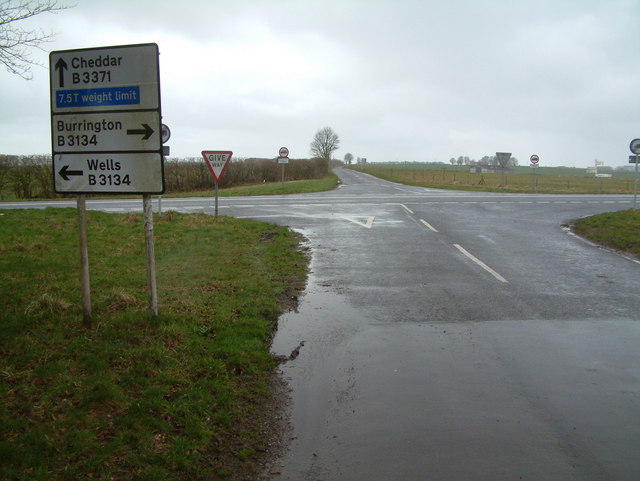
A368 road
The A368 is a part primary status A road in North Somerset, England. It runs from Marksbury (near Bath) to Banwell (near Weston-super-Mare) along the northern...

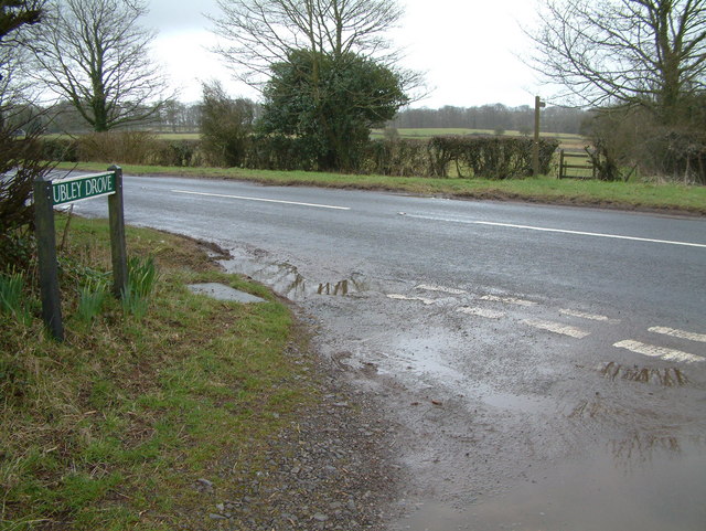
Ubley
Ubley is a small village and civil parish within the Chew Valley in Bath and North East Somerset about 9 miles (14.5 km) south of Bristol. It is just south...

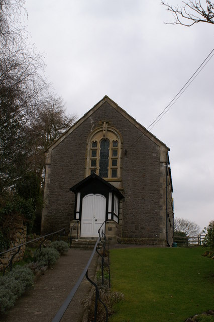
Church of St Bartholomew, Ubley
The Church of St Bartholomew in Ubley, Somerset, England is a small medieval church originating from the 13th century with later additions. It has been...

Compton Martin Ochre Mine
Compton Martin Ochre Mine (grid reference ST543566) is a 0.85 hectare geological and biological Site of Special Scientific Interest located on the north...

Charterhouse Camp
Charterhouse Camp is a univallate Iron Age hillfort in the Mendip district of Somerset, England. The hillfort is situated approximately 0.6 miles (0.97...

Church of St Michael the Archangel, Compton Martin
The Parish church of St Michael the Archangel (grid reference ST545570) is in the village of Compton Martin, Somerset, England. The church is a grade I...

Charterhouse (Roman town)
Charterhouse was a town in the Roman province of Britannia. Its site is located just to the west of the village of Charterhouse-on-Mendip in the English...
Compton Martin
Compton Martin is a small village and civil parish within the Chew Valley in Somerset and in the Bath and North East Somerset unitary authority in England...
Nearby Amenities
Located within 500m of 51.307998,-2.6846005Have you been to Green Plantation?
Leave your review of Green Plantation below (or comments, questions and feedback).