Ireland Wood

Wood, Forest in Westmorland Eden

England

Ireland Wood

Cawdale Beck Ford This ford on the Cawdale Beck is found on the track below Moorahill Farm.
Cawdale Beck Ford Credit: John Walton

The requested URL returned error: 429 Too Many Requests

If you have any feedback on the listing, please let us know in the comments section below.
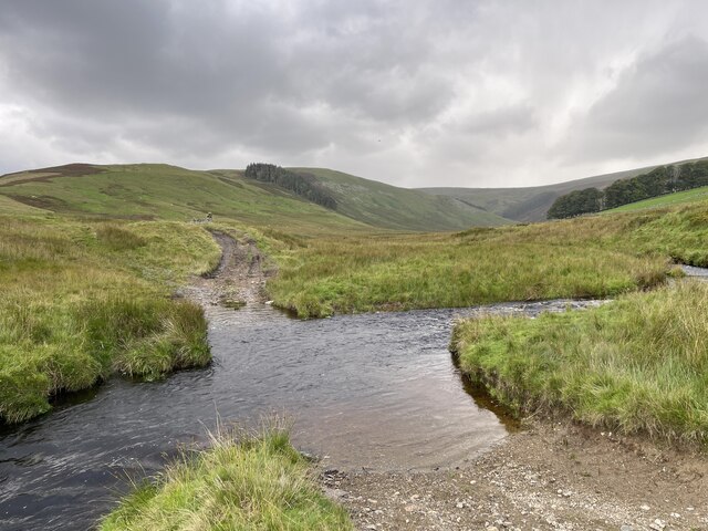
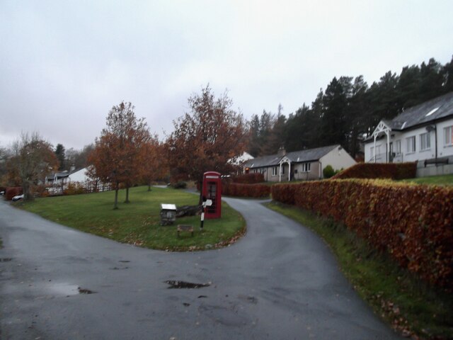
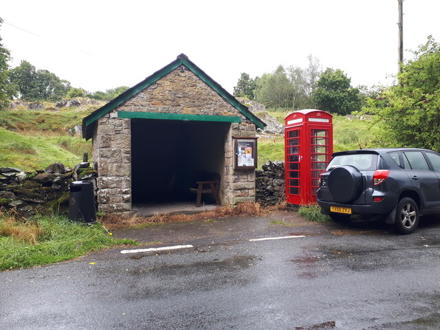
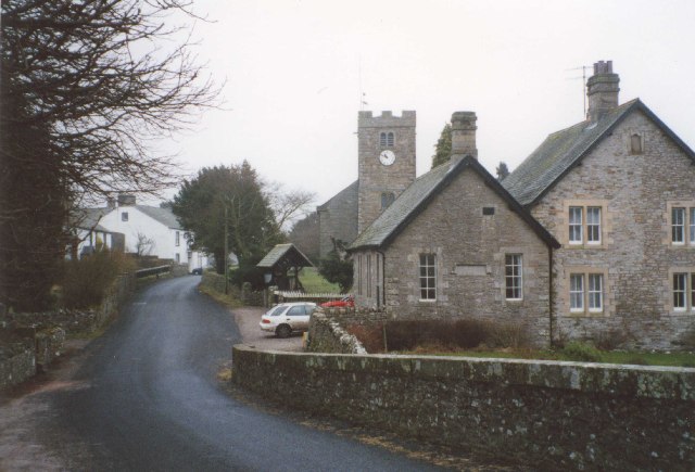
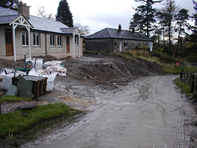
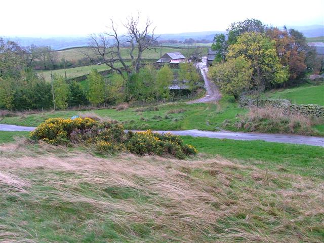
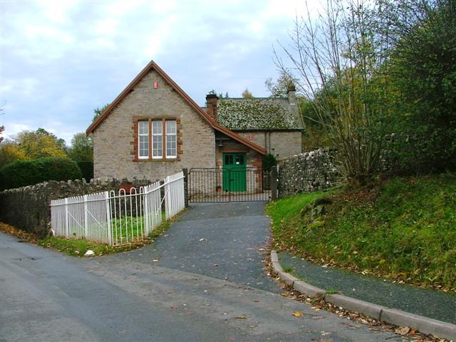
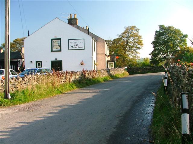
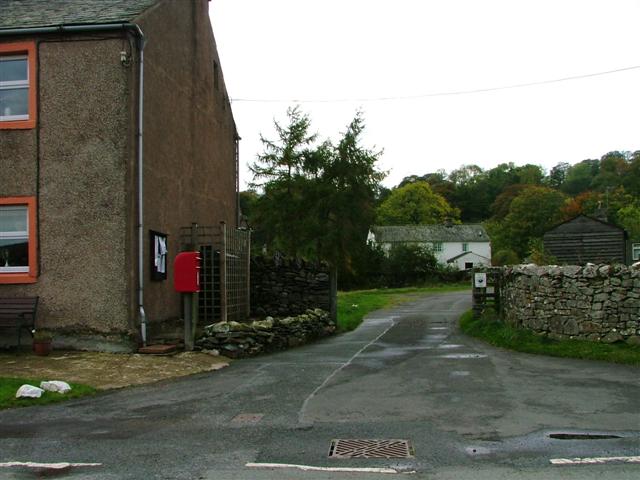
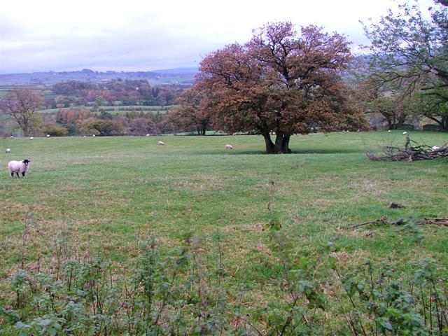
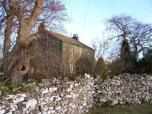
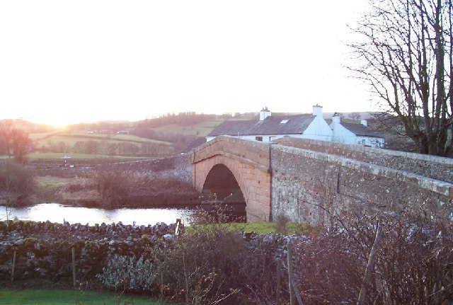
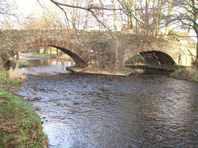
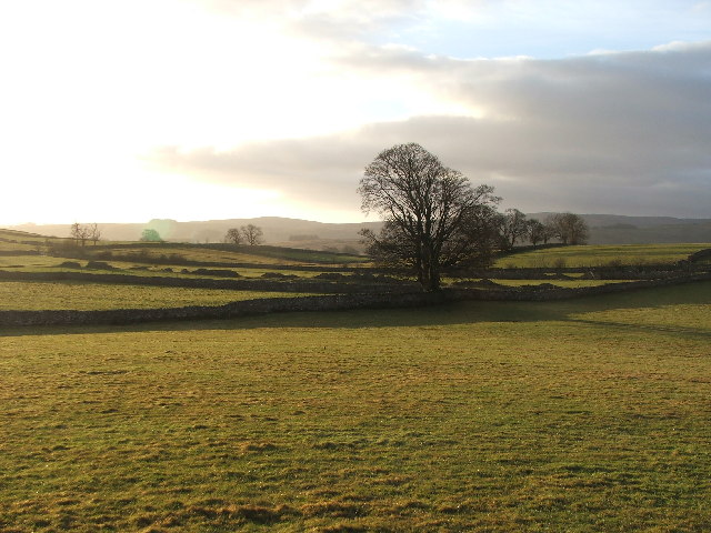
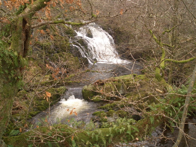
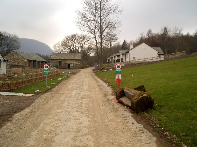
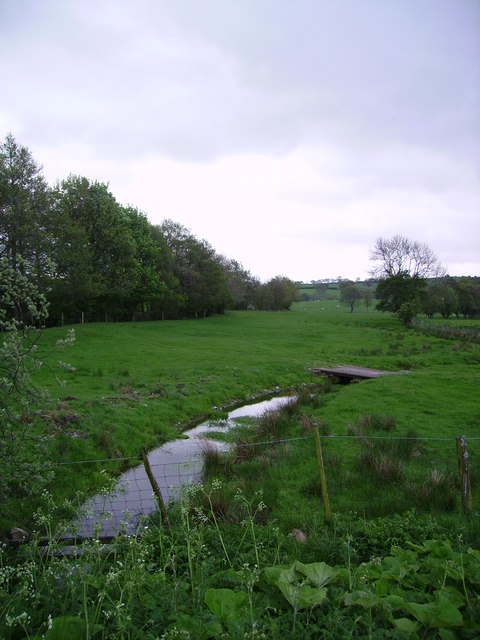
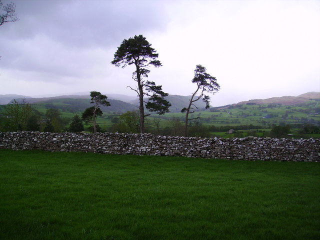
Ireland Wood Images

Images are sourced within 2km of 54.554842/-2.7572485 or Grid Reference NY5117. Thanks to Geograph Open Source API. All images are credited.

Cawdale Beck Ford This ford on the Cawdale Beck is found on the track below Moorahill Farm.
Cawdale Beck Ford
This ford on the Cawdale Beck is found on the track below Moorahill Farm.
Burnbanks village The telephone box contains a phone...something of a rarity these days
Burnbanks village
The telephone box contains a phone...something of a rarity these days
Telephone Box from Withnail and I, Bampton A place of pilgrimage for fans of the film.
Telephone Box from Withnail and I, Bampton
A place of pilgrimage for fans of the film.
Bampton Grange This is a view up the village street from the bridge over the River Lowther.
Bampton Grange
This is a view up the village street from the bridge over the River Lowther.
Burnbanks A village of concrete houses built for the construction workers of the dam. These are now being renovated for sale to local people.
Burnbanks
A village of concrete houses built for the construction workers of the dam. These are now being renovated for sale to local people.
Farm Road to Hullockhowe
Bampton Endowed School In 1999 the school had 21 pupils.
Bampton Endowed School
In 1999 the school had 21 pupils.
Bampton Village Store and Post Office
Postbox, Butterwick
Postbox, Butterwick
Fields Below Low Hullockhowe Looking north east from below Low Hullockhowe across the Lowther valley.
Fields Below Low Hullockhowe
Looking north east from below Low Hullockhowe across the Lowther valley.
Field gate Farm. Picture taken over a field gate instead of direct.
Field gate Farm.
Picture taken over a field gate instead of direct.
The bridge at Bampton Grange. A beautiful sandstone bridge.
The bridge at Bampton Grange.
A beautiful sandstone bridge.
Bridge over Haweswater Beck at Greengate. Looking NW.
Bridge over Haweswater Beck at Greengate.
Looking NW.
Farmland near Walmgate. Slightly SE of Walmgate.
Farmland near Walmgate.
Slightly SE of Walmgate.
Thornthwaite Force on Haweswater Beck
Thornthwaite Force
on Haweswater Beck
Burnbanks A village underneath The Haweswater Dam
Burnbanks
A village underneath The Haweswater Dam
Beck Bampton Grange South bank of the River Lowther indicated by the trees on the left.
Beck Bampton Grange
South bank of the River Lowther indicated by the trees on the left.
Pines and Wall Near Bampton Grange looking towards Mardale
Pines and Wall
Near Bampton Grange looking towards Mardale
Show me another place!

Ireland Wood is located at Grid Ref: NY5117 (Lat: 54.554842, Lng: -2.7572485)

Administrative County: Cumbria

District: Eden

Police Authority: Cumbria

What 3 Words

///brains.thickened.laser. Near Shap, Cumbria

Nearby Locations

Ireland Wood

Related Wikis

Bampton, Cumbria

Bampton is a village and civil parish in the Westmorland and Furness unitary authority area of Cumbria, England, on the edge of the Lake District National...

Butterwick, Cumbria

Butterwick is a hamlet in Cumbria, England, near the village of Helton. == Location grid ==

Haweswater Beck

Haweswater Beck flows through Cumbria in England. It arises as a stream discharge from Haweswater Reservoir, at Gill Dubs, just east of the dam, and flows...

Bampton Grange

Bampton Grange is a village in Cumbria, England. The Haweswater Beck flows eastward, just north of Firth Woods, and then turns north to join the River...

Nearby Amenities

Located within 500m of 54.554842,-2.7572485
Bampton
Place: village
Source: npe
Wikidata: Q77637
Wikipedia: en:Bampton, Cumbria
Lat/Long: 54.5565978/-2.7513984
Bus Stop
Bus Shelter (Phone Box)
Naptan AtcoCode: 090074061419
Naptan Bearing: W
Naptan CommonName: Bus Shelter (Phone Box)
Naptan Indicator: near
Naptan Landmark: telephone box
Naptan NaptanCode: cumdadam
Naptan Street: No name
Naptan Verified: no
Source: naptan_import
Lat/Long: 54.5572077/-2.7524912
Barrier: cattle_grid
Source: survey
Lat/Long: 54.5573516/-2.7528496
Telephone
Booth: K6
Covered: booth
Note: this phone box appeared in the film Withnail and I
Source: survey
Lat/Long: 54.5572116/-2.752551
Barrier: cattle_grid
Source: survey
Lat/Long: 54.5576148/-2.7605826
Post Office
Bampton Post Office
Addr Country: GB
Addr Postcode: CA10 2RQ
Branch: Bampton
Brand: Post Office
Brand Wikidata: Q1783168
Check Date: 2022-05-27
Check Date Opening Hours: 2022-05-27
Contact Website: https://www.postoffice.co.uk/branch-finder/2334100/bampton
Opening Hours: Mo-We,Fr 08:30-14:00; Sa 09:00-14:00; Su 10:00-12:00
Ref Pol Id: 8990
Lat/Long: 54.5567058/-2.7512935
Post Box
Ref: CA10 90
Lat/Long: 54.5562722/-2.7518606
The Howes
Place: locality
Lat/Long: 54.5549097/-2.7639498
Give Way
Direction: backward
Lat/Long: 54.5566161/-2.7514686
Give Way
Direction: backward
Lat/Long: 54.5570063/-2.7517512
Waterway: waterfall
Lat/Long: 54.5565306/-2.752417
Fuel
Kirkland Garage
Lat/Long: 54.5562538/-2.7516977
Information: guidepost
Tourism: information
Lat/Long: 54.5531925/-2.7500611
Information: guidepost
Tourism: information
Lat/Long: 54.5555222/-2.75176
Lime Kiln
Historic: lime_kiln
Lat/Long: 54.5560153/-2.7522613
Waterway: waterfall
Lat/Long: 54.5563836/-2.753483
Ele: 243
Natural: peak
Lat/Long: 54.5535266/-2.7570008
Mill Crags
Place: locality
Lat/Long: 54.5568999/-2.7532056
Power: pole
Lat/Long: 54.5559894/-2.7502446
Power: pole
Lat/Long: 54.5586049/-2.7553029
Power: pole
Lat/Long: 54.5580019/-2.7532409
Power: pole
Lat/Long: 54.556984/-2.753117
Power: pole
Lat/Long: 54.5570673/-2.7544796
Power: pole
Lat/Long: 54.5571709/-2.7554662
Power: pole
Lat/Long: 54.5571537/-2.7562502
Power: pole
Lat/Long: 54.5571125/-2.757057
Power: pole
Lat/Long: 54.5573631/-2.7569966
Power: pole
Lat/Long: 54.5576551/-2.7566368
Power: pole
Lat/Long: 54.5579532/-2.7562328
Power: pole
Lat/Long: 54.558277/-2.7558153
Power: pole
Lat/Long: 54.5555275/-2.7518377
Power: pole
Lat/Long: 54.5551476/-2.7516632
Power: pole
Lat/Long: 54.5547599/-2.7514739
Power: pole
Lat/Long: 54.554359/-2.7512981
The data included in this document is from www.openstreetmap.org. The data is made available under ODbL.

Have you been to Ireland Wood?

Leave your review of Ireland Wood below (or comments, questions and feedback).