Maddock's Wood
Wood, Forest in Lancashire
England
Maddock's Wood
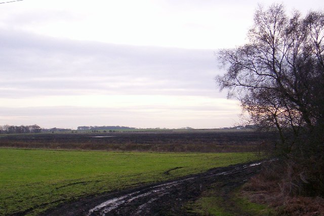
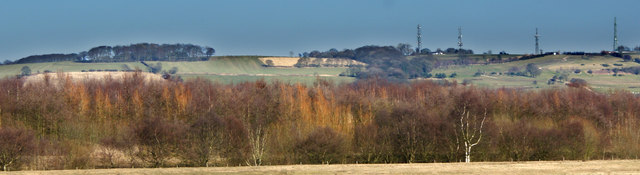
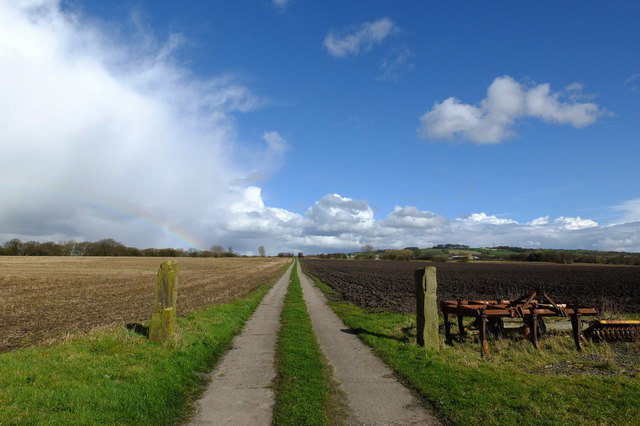
Maddock's Wood, located in Lancashire, is a picturesque forest that spans across a vast area. This woodland is known for its rich biodiversity and stunning natural beauty, making it a popular destination for nature enthusiasts and hikers alike.
The wood is primarily composed of a diverse range of deciduous trees, including oak, beech, and birch. These towering trees create a dense canopy, providing a cool and shady environment within the forest. The forest floor is covered with a lush carpet of ferns, mosses, and wildflowers, adding to the enchanting atmosphere.
Maddock's Wood is home to a variety of wildlife. Visitors may spot deer, foxes, squirrels, and a wide range of bird species, such as woodpeckers and owls. The forest also offers a habitat for many small mammals and insects, further enriching the ecosystem.
Several walking trails wind their way through the wood, allowing visitors to explore its hidden treasures. These trails vary in difficulty, catering to both casual strollers and more experienced hikers. Along the way, visitors can enjoy the tranquility of the forest, with the occasional babbling brook or small waterfall adding to the serene ambiance.
Maddock's Wood is managed by a local conservation group, ensuring that the delicate balance of the ecosystem is maintained and protected. The wood also serves as an educational resource, with guided nature walks and workshops held regularly.
Overall, Maddock's Wood offers a peaceful and immersive experience in nature, showcasing the beauty and diversity of Lancashire's natural landscape.
If you have any feedback on the listing, please let us know in the comments section below.
Maddock's Wood Images
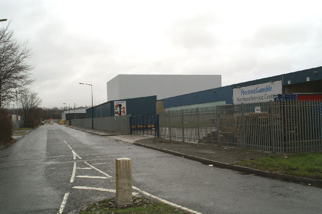
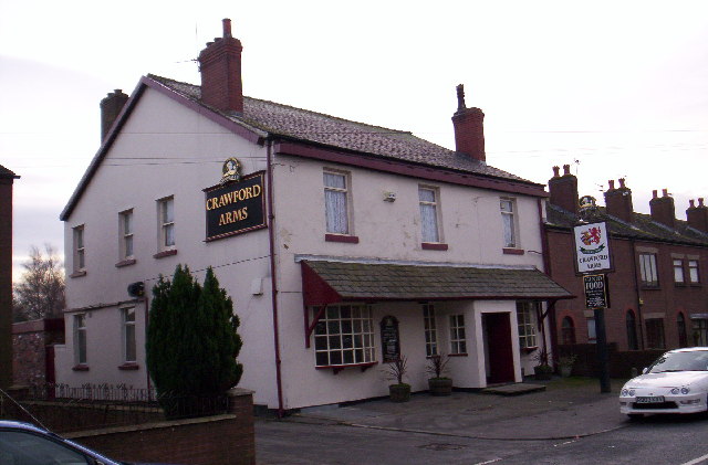
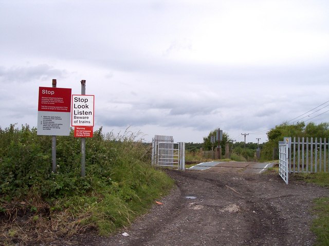
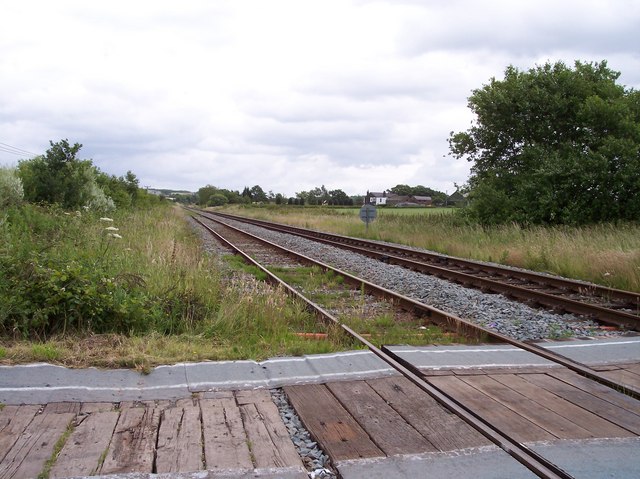
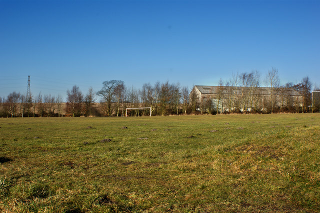
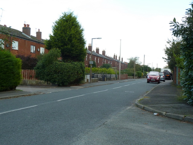
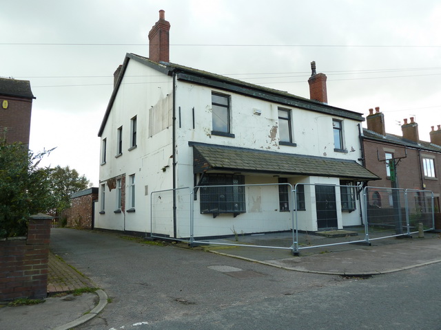
Images are sourced within 2km of 53.516512/-2.7386187 or Grid Reference SD5102. Thanks to Geograph Open Source API. All images are credited.


Maddock's Wood is located at Grid Ref: SD5102 (Lat: 53.516512, Lng: -2.7386187)
Unitary Authority: St. Helens
Police Authority: Merseyside
What 3 Words
///attracts.broke.unrated. Near Billinge, Merseyside
Nearby Locations
Related Wikis

Bispham Hall
Bispham Hall is a Grade II* listed Elizabethan country house in Billinge, now part of the Metropolitan Borough of Wigan, Greater Manchester.The hall was...

Upholland railway station
Upholland railway station serves the small town of Up Holland in the southern Lancashire/Wigan boundary area of England. It is on the Kirkby branch line...

Wish FM
Wish FM was an Independent Local Radio station serving Wigan in Greater Manchester and the St Helens area of Merseyside from studios in the Orrell area...

Longshaw
Longshaw is a small residential and agricultural area within Billinge Higher End at the western boundary of the Metropolitan Borough of Wigan, in Greater...
Nearby Amenities
Located within 500m of 53.516512,-2.7386187Have you been to Maddock's Wood?
Leave your review of Maddock's Wood below (or comments, questions and feedback).