Colsterdale

Settlement in Yorkshire Harrogate

England

Colsterdale

Shooting House, Swinton Estate Was in use when I passed here.  A variety of official looking notices have been erected to prevent the public walking here - not really acceptable as this is now all open access, I saw some of these signs have been torn down
Shooting House, Swinton Estate Credit: Chris Heaton

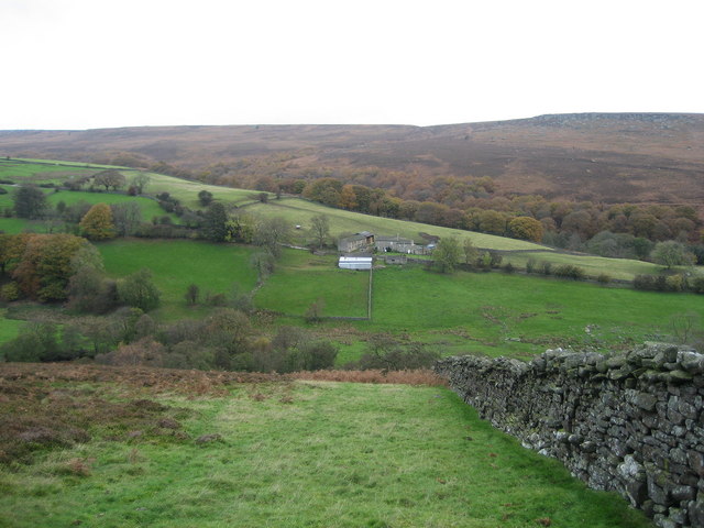
Colsterdale is a picturesque valley located in the Yorkshire Dales, North Yorkshire, England. It is nestled between the beautiful Nidderdale and Swaledale areas and covers an approximate area of 10 square miles. The valley is surrounded by rolling hills and offers breathtaking views of the surrounding countryside.

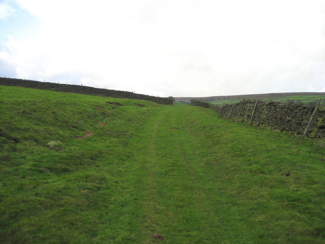
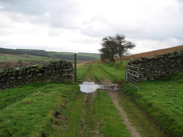
Colsterdale is renowned for its unspoiled natural beauty and is a popular destination for nature lovers and outdoor enthusiasts. The area is home to an abundance of wildlife, including rare bird species, making it a haven for birdwatchers. The valley is also crisscrossed by several walking trails, offering visitors an opportunity to explore the stunning landscape and enjoy the tranquility of the countryside.

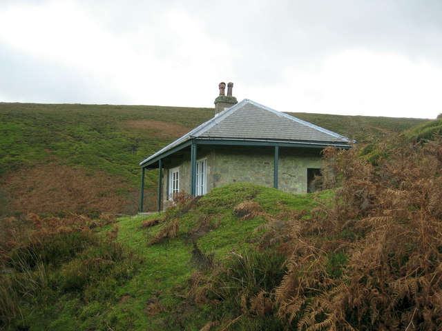
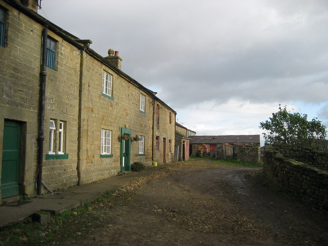
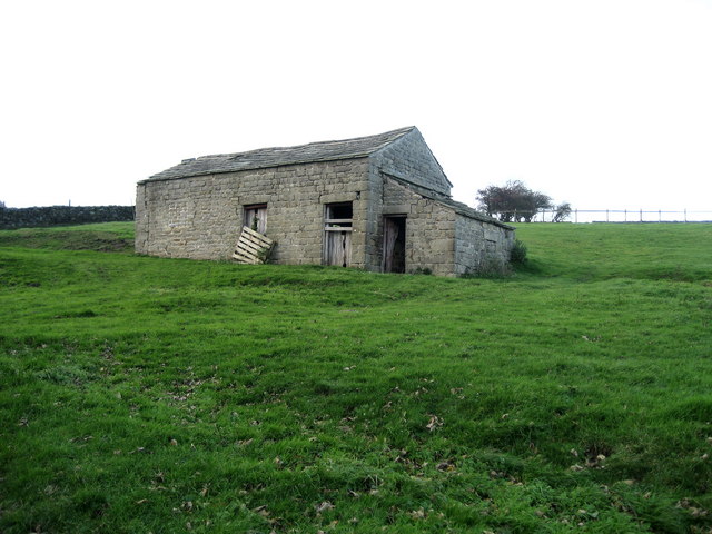
The valley is dotted with charming stone-built cottages and traditional farms, adding to its rustic charm. The community in Colsterdale is small and tight-knit, with a population of around 150 people. The residents take great pride in their close-knit community and work together to preserve the area's natural beauty and heritage.

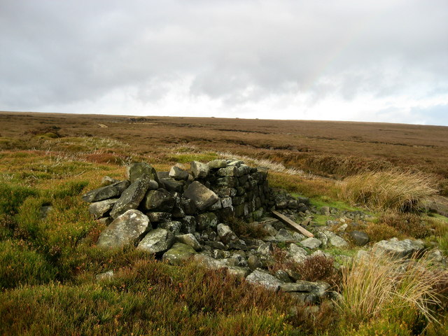
Colsterdale is also known for its rich history. The valley was once a site of lead mining, and remnants of the industry can still be seen today. The Colsterdale Lead Mine, now a historical site, offers visitors a glimpse into the area's industrial past.

In summary, Colsterdale is a captivating valley nestled in the heart of the Yorkshire Dales. Its natural beauty, diverse wildlife, and rich history make it a must-visit destination for anyone seeking a peaceful retreat in the stunning countryside of Yorkshire.

If you have any feedback on the listing, please let us know in the comments section below.

Colsterdale Images

Images are sourced within 2km of 54.224304/-1.808792 or Grid Reference SE1280. Thanks to Geograph Open Source API. All images are credited.

Shooting House, Swinton Estate Was in use when I passed here.  A variety of official looking notices have been erected to prevent the public walking here - not really acceptable as this is now all open access, I saw some of these signs have been torn down
Shooting House, Swinton Estate
Was in use when I passed here. A variety of official looking notices have been erected to prevent the public walking here - not really acceptable as this is now all open access, I saw some of these signs have been torn down
Spruce Gill Beck Moorland stream that flows beneath Gollinglith Ridge, before entering the River Burn
Spruce Gill Beck
Moorland stream that flows beneath Gollinglith Ridge, before entering the River Burn
Hambleton Litch Long straight track over moorland near Gollinglith
Hambleton Litch
Long straight track over moorland near Gollinglith
Bridge over Thorny Grane Gill Track gives access to the Shooting Lodge and beyond.  This just before Thorny Grane Gill enters the River Burn
Bridge over Thorny Grane Gill
Track gives access to the Shooting Lodge and beyond. This just before Thorny Grane Gill enters the River Burn
Weathered Rocks Wind has eroded these rocks into peculiar shapes high above the chasm that contains Spruce Gill Beck
Weathered Rocks
Wind has eroded these rocks into peculiar shapes high above the chasm that contains Spruce Gill Beck
Track to the shooting house The easiest way into the narrow valley beyond High House Farm is by the shooting track on the south side. The bridleway on the north bank is very difficult going through thick heather and bracken. The shooting house is on the Swinton Estate which owns a large area of grouse moor hereabouts.
Track to the shooting house
The easiest way into the narrow valley beyond High House Farm is by the shooting track on the south side. The bridleway on the north bank is very difficult going through thick heather and bracken. The shooting house is on the Swinton Estate which owns a large area of grouse moor hereabouts.
Valley of the River Burn The Burn at the head of Colsterdale, looking downstream towards the junction with Thorny Grane Gill. taken from the right bank where there is a good track. The bridleway on the opposite bank is only for masochists.
Valley of the River Burn
The Burn at the head of Colsterdale, looking downstream towards the junction with Thorny Grane Gill. taken from the right bank where there is a good track. The bridleway on the opposite bank is only for masochists.
Crossing the River Burn One of the tracks on the Swinton Estate crossing the infant River Burn by a bridge just below the shooting house. Anyone venturing along the course of the Burn should use the estate track on the south side and not the overgrown and unpleasant bridleway on the north bank.
Crossing the River Burn
One of the tracks on the Swinton Estate crossing the infant River Burn by a bridge just below the shooting house. Anyone venturing along the course of the Burn should use the estate track on the south side and not the overgrown and unpleasant bridleway on the north bank.
The Millennium Bridge over the River Burn Installed by the Swinton Estate in 2000.
The Millennium Bridge over the River Burn
Installed by the Swinton Estate in 2000.
The Raven Stone A folly, built at a time when the mines were less productive, by a landowner who saw he had a duty of care for his employees, which let's face it was a rare commodity in the 19thC.
The Raven Stone
A folly, built at a time when the mines were less productive, by a landowner who saw he had a duty of care for his employees, which let's face it was a rare commodity in the 19thC.
High House Farm, Colsterdale
Coal Road (East 2) Ancient track used for the transportation of coal off Colsterdale Moor
Coal Road (East 2)
Ancient track used for the transportation of coal off Colsterdale Moor
Low Houses The farmstead and surrounding area of Colsterdale as seen from below the Coal Road, with Agra Moor in the background
Low Houses
The farmstead and surrounding area of Colsterdale as seen from below the Coal Road, with Agra Moor in the background
Coal Road (Central) Ancient track used for the transportation of coal.  An excellent walk along this track can be enjoyed with wonderful views over Colsterdale to the north
Coal Road (Central)
Ancient track used for the transportation of coal. An excellent walk along this track can be enjoyed with wonderful views over Colsterdale to the north
High House Farm - End of the Road The road up Colsterdale ends here at the last farm up the valley.  Beyond are endless moors
High House Farm - End of the Road
The road up Colsterdale ends here at the last farm up the valley. Beyond are endless moors
Track from Colsterdale Moor This looks down the track towards High House Farm, after its descent from Colsterdale Moor.  Originally used for transportation of coal, but now adopted by the shooting fraternity
Track from Colsterdale Moor
This looks down the track towards High House Farm, after its descent from Colsterdale Moor. Originally used for transportation of coal, but now adopted by the shooting fraternity
Gin Coal Pit Very little left of the coal workings on Colsterdale Moor - the largest pit now used as a repository for spent cartridges by the shooting fraternity
Gin Coal Pit
Very little left of the coal workings on Colsterdale Moor - the largest pit now used as a repository for spent cartridges by the shooting fraternity
Stone Barn, Colsterdale One of several in the scattered community of Colsterdale
Stone Barn, Colsterdale
One of several in the scattered community of Colsterdale
Show me another place!

Colsterdale is located at Grid Ref: SE1280 (Lat: 54.224304, Lng: -1.808792)

Division: North Riding

Administrative County: North Yorkshire

District: Harrogate

Police Authority: North Yorkshire

What 3 Words

///strays.rollover.amuses. Near Leyburn, North Yorkshire

Nearby Locations

Low Wood Colsterdale

Related Wikis

Colsterdale

Colsterdale is the valley of the River Burn, a tributary of the River Ure, in the Yorkshire Dales in North Yorkshire, England. It gives its name to a hamlet...

Gollinglith Foot

Gollinglith Foot (GOWN-li FOOT), historically also spelt Gownley Foot, is a hamlet in the civil parish of Healey in the Harrogate district of North Yorkshire...

Leighton, North Yorkshire

Leighton is a hamlet in the civil parish of Healey in the Harrogate district of North Yorkshire, England. It is near Leighton Reservoir that provides for...

Leighton Reservoir

Leighton Reservoir is a reservoir which drains via the River Burn to the River Ure in North Yorkshire, England. It neighbours Roundhill Reservoir and is...

Nearby Amenities

Located within 500m of 54.224304,-1.808792
Building: yes
Lat/Long: 54.2243826/-1.8081345
Building: yes
Lat/Long: 54.2228396/-1.811203
Power: pole
Lat/Long: 54.2214496/-1.8141511
Power: pole
Lat/Long: 54.2219724/-1.8126683
Power: pole
Lat/Long: 54.2225313/-1.8110425
Power: pole
Lat/Long: 54.2228545/-1.8101093
Power: pole
Lat/Long: 54.2234115/-1.8084997
Power: pole
Lat/Long: 54.223902/-1.8070365
Power: pole
Lat/Long: 54.2242175/-1.8061227
Power: pole
Lat/Long: 54.2245597/-1.8050952
Power: pole
Lat/Long: 54.2248829/-1.8041327
Power: pole
Lat/Long: 54.2249266/-1.803167
The data included in this document is from www.openstreetmap.org. The data is made available under ODbL.

Have you been to Colsterdale?

Leave your review of Colsterdale below (or comments, questions and feedback).