Colshaw

Settlement in Staffordshire Staffordshire Moorlands

England

Colshaw

View from the Longnor Road To "The Knights Table" inn - by the A53 Buxton/Leek road.
View from the Longnor Road Credit: Neil Theasby

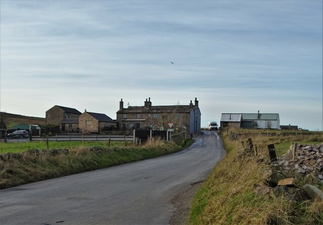
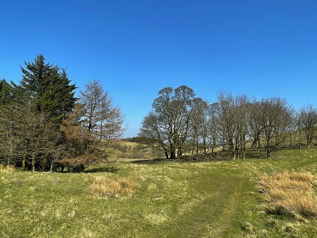
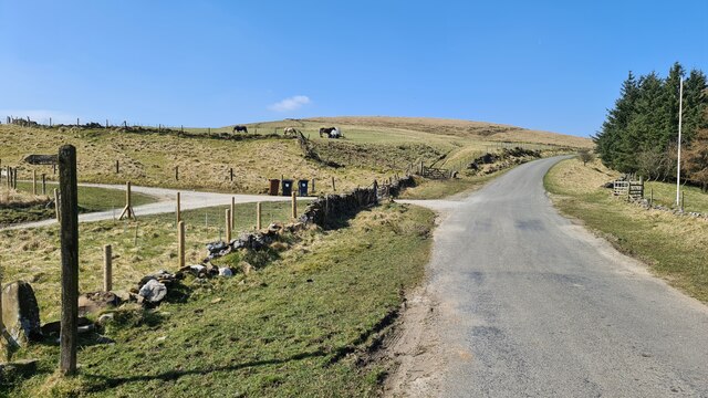
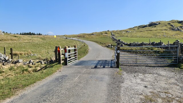
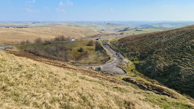
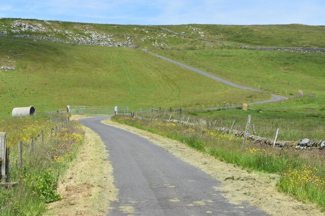
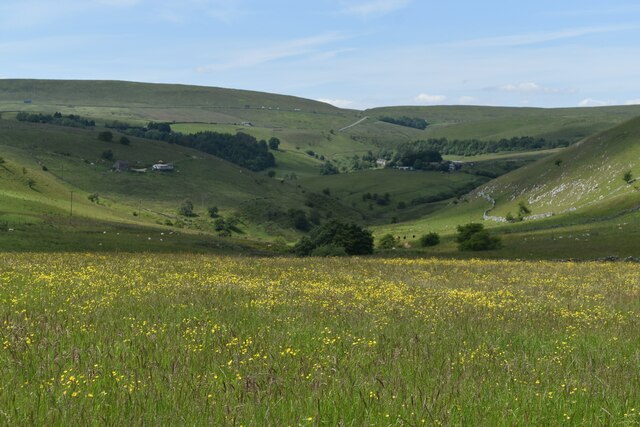
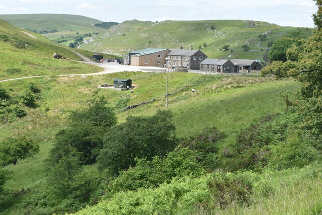
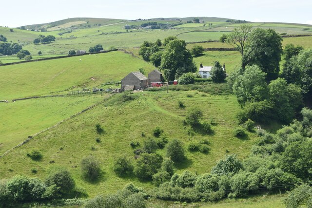
Colshaw is a small village located in the county of Staffordshire, England. Situated in the West Midlands region, it lies approximately 6 miles southwest of the town of Stafford. The village is nestled in a picturesque rural area, surrounded by rolling hills and lush green fields, offering a peaceful and idyllic setting.

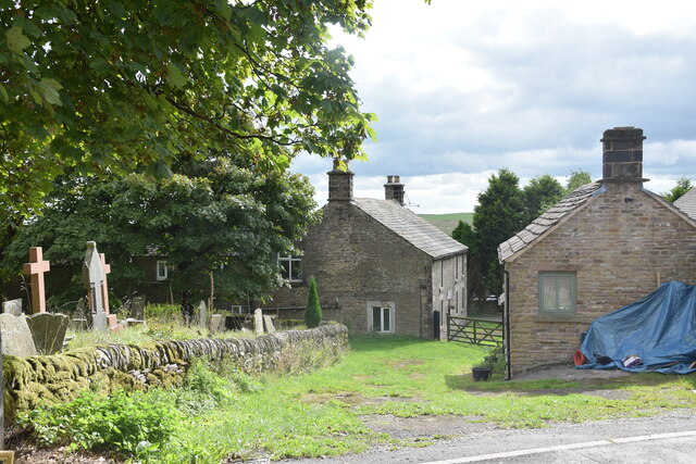
Colshaw is known for its charming and traditional architecture, with many of its buildings dating back several centuries. The village is home to a close-knit community, and residents take pride in maintaining its historic character. The village center is centered around a quaint village green, which acts as a focal point for community events and gatherings.

Despite its small size, Colshaw offers a range of amenities to its residents. These include a local village hall, a primary school, and a post office. The village is well-connected to neighboring towns and cities, with regular bus services providing transportation links.

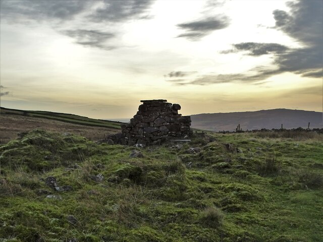
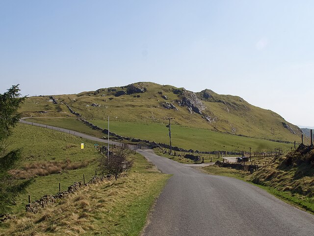
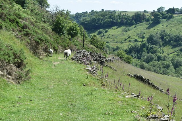
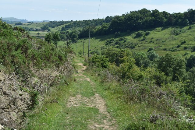
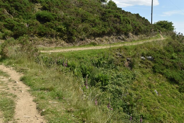
The surrounding countryside offers ample opportunities for outdoor activities and exploring nature. The nearby Cannock Chase Area of Outstanding Natural Beauty is a popular destination for walkers, cyclists, and nature enthusiasts, with its expansive forests and heathland.

Overall, Colshaw is a charming and tranquil village, offering a perfect escape from the hustle and bustle of urban life. Its rich history, picturesque surroundings, and strong sense of community make it a desirable place to reside.

If you have any feedback on the listing, please let us know in the comments section below.

Colshaw Images

Images are sourced within 2km of 53.206877/-1.936934 or Grid Reference SK0467. Thanks to Geograph Open Source API. All images are credited.

View from the Longnor Road To "The Knights Table" inn - by the A53 Buxton/Leek road.
View from the Longnor Road
To "The Knights Table" inn - by the A53 Buxton/Leek road.
St Paul's Church, Flash In the parish of Quarnford, the construction of St Paul's Church began in 1743.
St Paul's Church, Flash
In the parish of Quarnford, the construction of St Paul's Church began in 1743.
Lonely ruin on Oliver Hill Long ago someone might have lived here but more likely it was a sheep barn.
Lonely ruin on Oliver Hill
Long ago someone might have lived here but more likely it was a sheep barn.
On the path to Oliver Hill
Sign on "The New Inn" in Flash Shame about the missing apostrophe and the unnecessary capital "V". Perhaps it was the altitude's fault.
Sign on "The New Inn" in Flash
Shame about the missing apostrophe and the unnecessary capital "V". Perhaps it was the altitude's fault.
Minor road passing Thirkelow Rocks
Footpath through trees On moorland near Turncliffe Common
Footpath through trees
On moorland near Turncliffe Common
Road below Thirkelow Rocks
A53 below Axe Edge
A53 below Axe Edge
Road from Booth Farm
Valley view north of Booth Farm
View towards Booth Farm
Cross-valley view towards Leycote
Path descending from Fough towards Hollinsclough
Bend in path below Fough The path takes a diversion here around a gulley.
Bend in path below Fough
The path takes a diversion here around a gulley.
Northfield Farm, Flash The farmhouse is in the centre ahead in the shot, with the western end of the churchyard on the left and Northfield Cottage on the right. Taken from the junction of Brown Lane and New Road in the centre of the village.
Northfield Farm, Flash
The farmhouse is in the centre ahead in the shot, with the western end of the churchyard on the left and Northfield Cottage on the right. Taken from the junction of Brown Lane and New Road in the centre of the village.
Show me another place!

Colshaw is located at Grid Ref: SK0467 (Lat: 53.206877, Lng: -1.936934)

Administrative County: Staffordshire

District: Staffordshire Moorlands

Police Authority: Staffordshire

What 3 Words

///clinic.annual.bands. Near Buxton, Derbyshire

Nearby Locations

Colshaw

Related Wikis

Oliver Hill (Peak District)

Oliver Hill is a hill, 513 metres (1,683 ft) high, in the Peak District in the county of Staffordshire in England. It is a treeless summit surrounded by...

Hollins Hill

Hollins Hill is a gritstone hill in the Derbyshire Peak District near the village of Hollinsclough. The summit is 450 metres (1,480 ft) above sea level...

Quarnford

Quarnford is a village and civil parish in the Staffordshire Moorlands district of Staffordshire, England. According to the 2001 census it had a population...

Flash, Staffordshire

Flash is a village in the Staffordshire Moorlands, England, and Peak District National Park. At 1,519 feet (463 m) above sea level, it is the highest village...

Related Videos

Solomon's Temple & Axe Edge Moor (Hiking in the wind and rain) | Derbyshire & Peak District

I embraced the wind and rain for a visit to Solomon's Temple, Axe Edge Moor and Three Shire Heads, walking through wet, ...
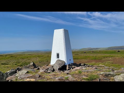
Axe Edge Moor Trig

Axe Edge Moor Trig.

Nearby Amenities

Located within 500m of 53.206877,-1.936934
Colshaw
Place: hamlet
Lat/Long: 53.2060331/-1.9366849
Barrier: stile
Material: stone
Source: survey;gps
Stile: stepover
Lat/Long: 53.2029043/-1.9335042
Barrier: stile
Material: stone
Source: survey;gps
Stile: squeezer
Lat/Long: 53.2052753/-1.930847
Barrier: stile
Material: wood
Source: survey;gps
Steps: 2
Stile: stepover
Lat/Long: 53.207793/-1.9439702
Barrier: entrance
Source: survey;gps
Lat/Long: 53.2083382/-1.9420154
Fixme: No sign of stile. New wall with barbed wire on top. Footpath obstructed.
Lat/Long: 53.2084109/-1.9409464
Barrier: stile
Material: wood
Source: survey;gps
Stile: stepover
Lat/Long: 53.2061033/-1.9352475
Barrier: stile
Material: stone
Source: survey;gps
Stile: stepover
Lat/Long: 53.2061119/-1.9352248
Barrier: stile
Material: wood
Source: survey;gps
Stile: squeezer
Lat/Long: 53.2061722/-1.9353125
Barrier: cattle_grid
Bicycle: yes
Foot: yes
Motorcar: yes
Motorcycle: yes
Lat/Long: 53.2063879/-1.9349442
Barrier: stile
Material: wood
Source: survey;bing
Stile: stepover
Lat/Long: 53.2064165/-1.9349851
Barrier: cattle_grid
Bicycle: yes
Foot: yes
Motorcycle: yes
Lat/Long: 53.2064739/-1.9388407
Barrier: stile
Material: stone
Source: survey;gps
Stile: stepover
Lat/Long: 53.2065842/-1.9298094
Barrier: entrance
Source: survey;gps
Lat/Long: 53.2069788/-1.9352537
Barrier: stile
Material: stone
Source: survey;gps
Stile: stepover
Lat/Long: 53.2079097/-1.9355282
Barrier: stile
Material: stone
Source: survey;gps
Stile: stepover
Lat/Long: 53.208543/-1.9359706
Barrier: stile
Source: survey
Stile: squeezer
Lat/Long: 53.2085599/-1.9398412
Barrier: stile
Material: stone
Source: survey;gps
Stile: stepover
Lat/Long: 53.2086435/-1.9396248
Barrier: stile
Material: wood
Source: survey;gps
Stile: stepover
Lat/Long: 53.2093385/-1.9386199
Barrier: stile
Material: wood
Source: survey;gps
Stile: stepover
Lat/Long: 53.2094381/-1.9367285
Barrier: stile
Material: wood
Source: survey;gps
Stile: stepover
Lat/Long: 53.2094967/-1.9382999
Barrier: stile
Material: wood
Source: survey;gps
Stile: stepover
Lat/Long: 53.2096902/-1.9376672
Barrier: stile
Material: wood
Source: survey;gps
Stile: stepover
Lat/Long: 53.2102217/-1.9372036
Barrier: stile
Material: wood
Source: survey;gps
Stile: stepover
Lat/Long: 53.2029685/-1.9377362
Barrier: stile
Material: wood
Source: survey;gps
Stile: stepover
Lat/Long: 53.2044329/-1.9394231
Barrier: stile
Material: wood
Source: survey;gps
Stile: stepover
Lat/Long: 53.2048334/-1.9386042
Barrier: stile
Material: wood
Source: survey;gps
Stile: stepover
Lat/Long: 53.2050487/-1.9390531
Barrier: stile
Material: stone
Source: survey;gps
Stile: stepover
Lat/Long: 53.2055304/-1.9390557
Barrier: cattle_grid
Bicycle: yes
Foot: yes
Motorcycle: yes
Lat/Long: 53.2062913/-1.9387925
Barrier: stile
Material: wood
Source: survey;gps
Stile: stepover
Lat/Long: 53.2062953/-1.9392584
Barrier: stile
Material: wood
Source: survey;gps
Steps: 2
Stile: stepover
Lat/Long: 53.2063185/-1.9393746
Barrier: entrance
Source: survey;gps
Lat/Long: 53.2102836/-1.9332203
Barrier: stile
Material: wood
Source: survey;gps
Stile: squeezer
Lat/Long: 53.2108923/-1.9355567
Barrier: stile
Steps: 2
Stile: stepover
Lat/Long: 53.2071588/-1.9425966
Barrier: stile
Steps: 2
Stile: stepover
Lat/Long: 53.2071642/-1.9426024
Barrier: stile
Material: wood
Source: survey;gps
Stile: stepover
Lat/Long: 53.2043774/-1.9371931
Barrier: stile
Material: stone
Source: survey;gps
Stile: stepover
Lat/Long: 53.2054072/-1.9320426
Fixme: os would suggest footpaht crosses wall to west to join service road. Not sign of any stile. Therefore use gate.
Lat/Long: 53.2069351/-1.9312752
The data included in this document is from www.openstreetmap.org. The data is made available under ODbL.

Have you been to Colshaw?

Leave your review of Colshaw below (or comments, questions and feedback).