Beech Hill Wood

Wood, Forest in Westmorland South Lakeland

England

Beech Hill Wood

St Mary's Church Longsleddale Deep into Longsledderdale, sandwiched between remnant ribbons of semi-ancient woodland along the valley floor, an earlier chapel of 1712 was replaced with an endowment from Lady Howard of Leven’s Hall, who held the manorial rights. A range of even earlier artefacts survive, mainly furnishings, but some elements have been built in, such as the aumbry cupboard door of 1662. Indeed, it is the furnishings and internal features that bring to life that which would otherwise be rather plain: the pulpit, unusually accessed by a rear door from the Vestry; the chancel arch inscription; the east window suspended stained glass pendant of the church’s chalice (of 1571, safeguarded off-site); wall-paintings; chests, etc.
St Mary's Church Longsleddale Credit: Colin Kinnear

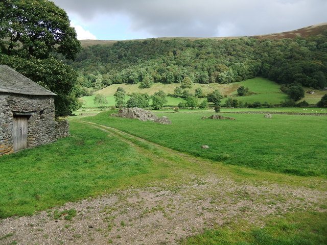
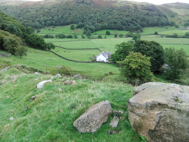
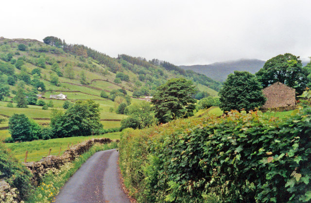
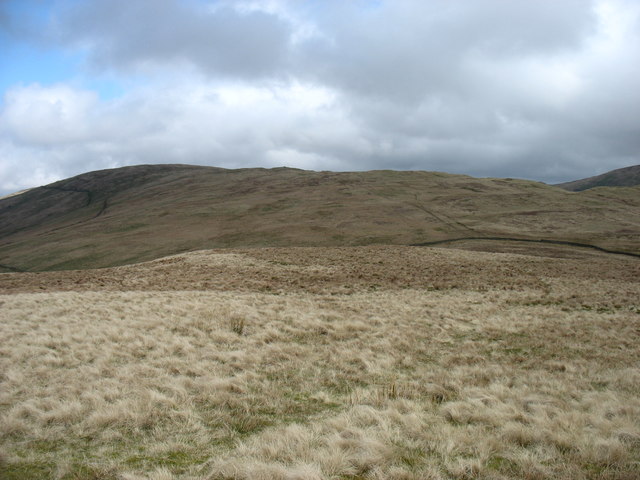
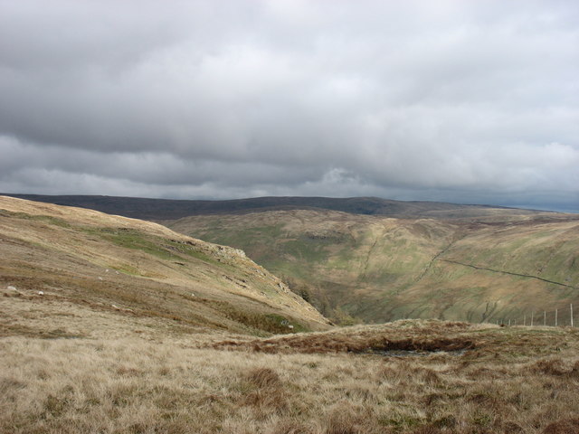
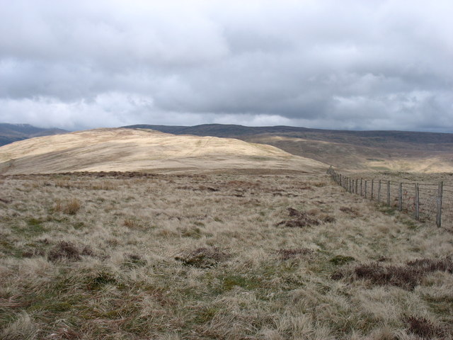
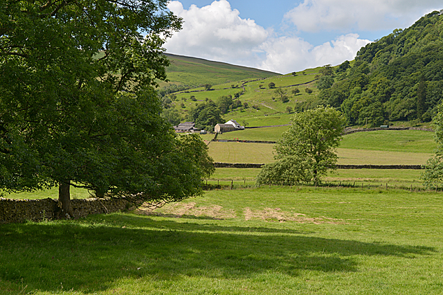
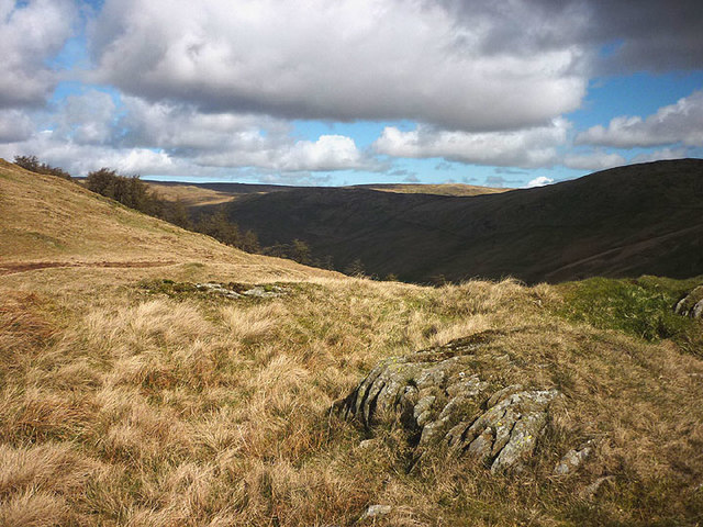
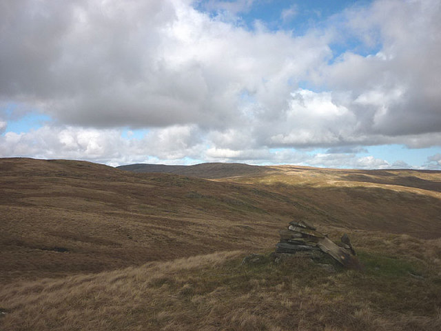
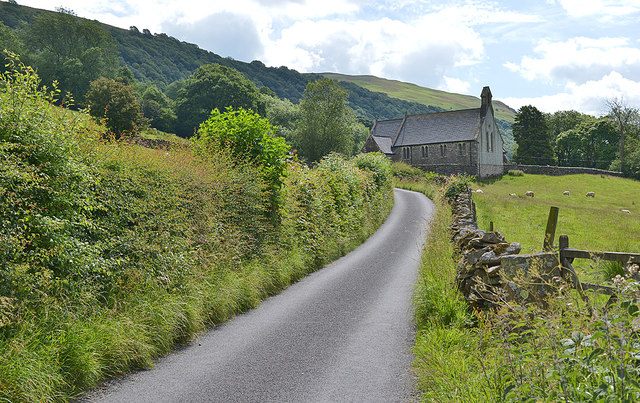
Beech Hill Wood is a picturesque woodland located in the Westmorland region of England. This enchanting forest is renowned for its rich biodiversity and stunning natural beauty. Stretching over an area of approximately 50 acres, Beech Hill Wood is a haven for nature enthusiasts and provides a serene escape from the hustle and bustle of city life.

The woodland is predominantly composed of beech trees, which lend their name to the area. These majestic trees create a dense canopy, allowing only dappled sunlight to filter through, giving the forest a mystical ambiance. The forest floor is adorned with a carpet of wildflowers, ferns, and mosses, adding bursts of color and texture to the landscape.

Beech Hill Wood is also home to a diverse range of wildlife. Visitors may spot woodland birds such as robins, blue tits, and woodpeckers, as well as small mammals like squirrels and foxes. The woodland is particularly famous for its vibrant butterfly population, with species like the orange tip, peacock, and comma fluttering among the trees during the warmer months.

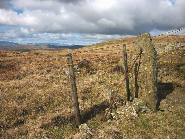
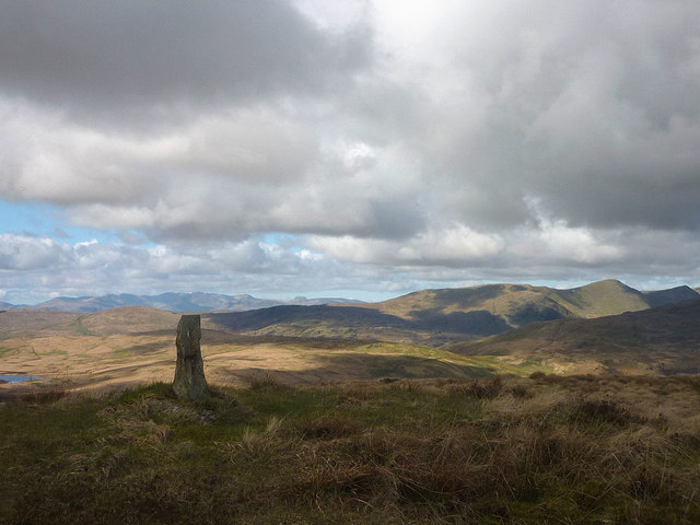
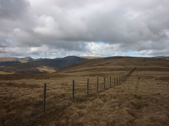
This woodland oasis offers a variety of walking trails, which wind through the trees and provide breathtaking views of the surrounding countryside. These trails cater to all abilities and offer the opportunity to explore the woodland at a leisurely pace. Additionally, there are designated picnic areas and benches where visitors can relax and soak in the tranquil atmosphere.

Beech Hill Wood, with its stunning scenery and diverse ecosystem, is a true gem of Westmorland and a must-visit destination for nature lovers and those seeking solace in the great outdoors.

If you have any feedback on the listing, please let us know in the comments section below.

Beech Hill Wood Images

Images are sourced within 2km of 54.417167/-2.7742787 or Grid Reference NY4902. Thanks to Geograph Open Source API. All images are credited.

St Mary's Church Longsleddale Deep into Longsledderdale, sandwiched between remnant ribbons of semi-ancient woodland along the valley floor, an earlier chapel of 1712 was replaced with an endowment from Lady Howard of Leven’s Hall, who held the manorial rights. A range of even earlier artefacts survive, mainly furnishings, but some elements have been built in, such as the aumbry cupboard door of 1662. Indeed, it is the furnishings and internal features that bring to life that which would otherwise be rather plain: the pulpit, unusually accessed by a rear door from the Vestry; the chancel arch inscription; the east window suspended stained glass pendant of the church’s chalice (of 1571, safeguarded off-site); wall-paintings; chests, etc.
St Mary's Church Longsleddale
Deep into Longsledderdale, sandwiched between remnant ribbons of semi-ancient woodland along the valley floor, an earlier chapel of 1712 was replaced with an endowment from Lady Howard of Leven’s Hall, who held the manorial rights. A range of even earlier artefacts survive, mainly furnishings, but some elements have been built in, such as the aumbry cupboard door of 1662. Indeed, it is the furnishings and internal features that bring to life that which would otherwise be rather plain: the pulpit, unusually accessed by a rear door from the Vestry; the chancel arch inscription; the east window suspended stained glass pendant of the church’s chalice (of 1571, safeguarded off-site); wall-paintings; chests, etc.
Rock outcrops near the eponymous Kilnstones house
Dockernook Farm
Dockernook Farm
NW up Long Sleddale The view is near Yewbarrow Hall, with Harter Fell (2,509 ft.) ahead. This road goes no further than the head of the valley, but in the 1840s it nearly became the route of the Lancaster & Carlisle Railway - part of the present West Coast Main Line; instead, it is followed by the pipeline to Manchester from Haweswater Reservoir.
NW up Long Sleddale
The view is near Yewbarrow Hall, with Harter Fell (2,509 ft.) ahead. This road goes no further than the head of the valley, but in the 1840s it nearly became the route of the Lancaster & Carlisle Railway - part of the present West Coast Main Line; instead, it is followed by the pipeline to Manchester from Haweswater Reservoir.
Moorland north of Todd Fell On the way to Capplebarrow, on the Bannisdale Horseshoe.
Moorland north of Todd Fell
On the way to Capplebarrow, on the Bannisdale Horseshoe.
A steep drop into Bannisdale Seen from the Bannisdale Horseshoe.
A steep drop into Bannisdale
Seen from the Bannisdale Horseshoe.
The Bannisdale Horseshoe continues Looking towards Swinklebank Crag Top from Capplebarrow.
The Bannisdale Horseshoe continues
Looking towards Swinklebank Crag Top from Capplebarrow.
Fields around Docker Nook
Long Sleddale parish church of St. Mary's
Toilets, Long Sleddale Immaculate community-run toilets.
Toilets, Long Sleddale
Immaculate community-run toilets.
Long Sleddale Community Hall
St Mary's Church, Longsleddale
Pt 417m above Bannisdale A small knoll with a few small rocks. Dub Ings Wood can be seen ahead on the crest of the downfall into the dale.
Pt 417m above Bannisdale
A small knoll with a few small rocks. Dub Ings Wood can be seen ahead on the crest of the downfall into the dale.
Stone fence post on Capplebarrow Much older then the wooden posts and far harder wearing.
Stone fence post on Capplebarrow
Much older then the wooden posts and far harder wearing.
The summit of Capplebarrow The upright stone may be a parish boundary marker which here is slightly further west than the fence line. The higher fells around the head of Kentmere are on the right with the rugged fells around Langdale further left. Skeggles Water is the tarn just in view at the extreme left of the photo.
The summit of Capplebarrow
The upright stone may be a parish boundary marker which here is slightly further west than the fence line. The higher fells around the head of Kentmere are on the right with the rugged fells around Langdale further left. Skeggles Water is the tarn just in view at the extreme left of the photo.
Fence on Capplebarrow Heading towards Swinklebank Crag with views left of the fells around Longsleddale and Kentmere.
Fence on Capplebarrow
Heading towards Swinklebank Crag with views left of the fells around Longsleddale and Kentmere.
Small cairn on minor top south of Swinklebank Crag An anonymous pile on an anonymous knoll.
Small cairn on minor top south of Swinklebank Crag
An anonymous pile on an anonymous knoll.
Long Sleddale parish church from the north west
Show me another place!

Beech Hill Wood is located at Grid Ref: NY4902 (Lat: 54.417167, Lng: -2.7742787)

Administrative County: Cumbria

District: South Lakeland

Police Authority: Cumbria

What 3 Words

///remover.gasp.baths. Near Staveley, Cumbria

Related Wikis

Longsleddale

Longsleddale () is a valley and civil parish in the South Lakeland district of Cumbria, England. It includes the hamlet of Sadgill. The parish has a population...

River Sprint

The River Sprint is a river in Cumbria, England with its source high up on the south-facing side of Harter Fell. It flows into the River Kent just to...

Potter Fell

Potter Fell is a fell near the villages of Burneside and Staveley, Cumbria, England, reaching a maximum height of 1,400 feet (430 m) at Brunt Knott. Alfred...

Green Quarter Fell

Green Quarter Fell is an upland area in the east of the English Lake District, near Kentmere village, Cumbria. It is the subject of a chapter of Wainwright...

Bannisdale Horseshoe

The Bannisdale Horseshoe is an upland area in Cumbria, England, near the eastern boundary of the Lake District National Park, surrounding the valley of...

Sadgill

Sadgill is a hamlet in Longsleddale, Cumbria, England. It is a divided settlement, also containing Low Sadgill. == References ==

Lowbridge Estate

The Lowbridge Estate is a country estate of approximately 2000 acres in the Lake District region of England that was in the continuous ownership of the...

Garnett Bridge

Garnett Bridge is a hamlet in Cumbria, England, on the River Sprint. It is located three miles by foot southeast of Long Sleddale. It consists mainly of...

Nearby Amenities

Located within 500m of 54.417167,-2.7742787
Longsleddale Church
Shop: convenience
Lat/Long: 54.41921/-2.7704855
Post Box
Post Box Type: wall
Ref: LA8 47
Source: survey
Lat/Long: 54.4189097/-2.7706357
Telephone
Booth: KX100
Covered: booth
Source: survey
Lat/Long: 54.4192094/-2.7706273
Toilets
Access: yes
Toilets Disposal: flush
Unisex: yes
Lat/Long: 54.4192894/-2.7705759
Ford: yes
Lat/Long: 54.4207106/-2.7773594
Power: pole
Lat/Long: 54.4187918/-2.7672033
Power: pole
Lat/Long: 54.4192256/-2.7679454
Power: pole
Lat/Long: 54.4202501/-2.7696741
Power: pole
Lat/Long: 54.4210086/-2.7709255
Power: pole
Lat/Long: 54.4181932/-2.7711338
Power: pole
Lat/Long: 54.4183885/-2.7695839
Power: pole
Lat/Long: 54.418993/-2.7713902
Power: pole
Lat/Long: 54.4192796/-2.7706936
The data included in this document is from www.openstreetmap.org. The data is made available under ODbL.

Have you been to Beech Hill Wood?

Leave your review of Beech Hill Wood below (or comments, questions and feedback).