Sleddale Forest
Downs, Moorland in Westmorland South Lakeland
England
Sleddale Forest
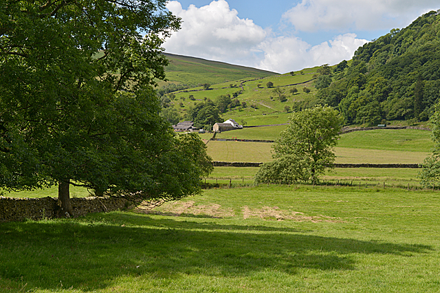
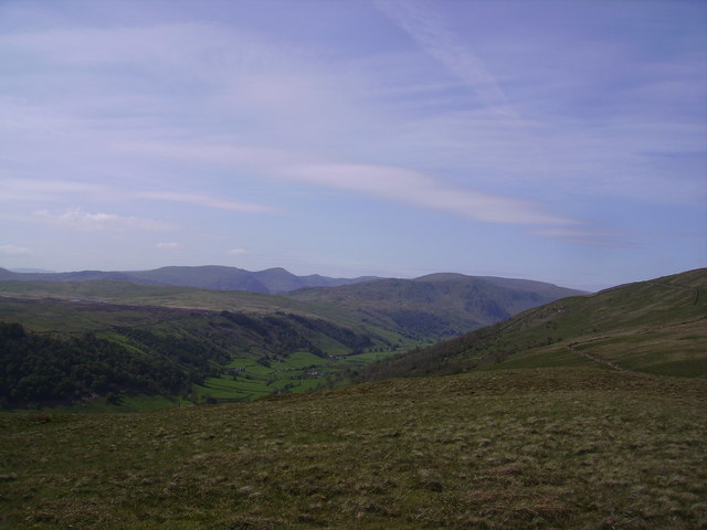
Sleddale Forest is a picturesque natural area located in the county of Westmorland, England. Nestled within the Downs and Moorland landscape, the forest covers a vast area of woodland that spans over rolling hills and valleys. With its serene atmosphere and lush greenery, the forest is a haven for nature enthusiasts and visitors seeking tranquility.
The forest is primarily composed of native tree species such as oak, birch, and ash, which create a dense canopy that provides shade and shelter for various wildlife species. The diverse ecosystem supports a wide range of flora and fauna, including rare and protected species such as red squirrels and pine martens. Birdwatchers can also spot a variety of bird species, including buzzards, owls, and woodpeckers.
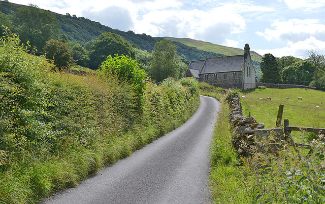
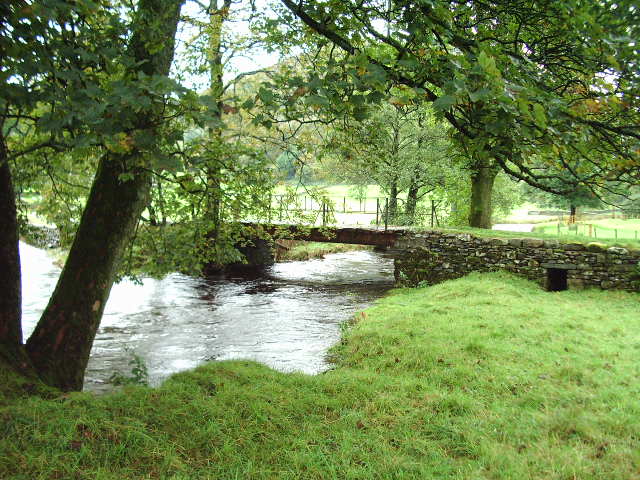
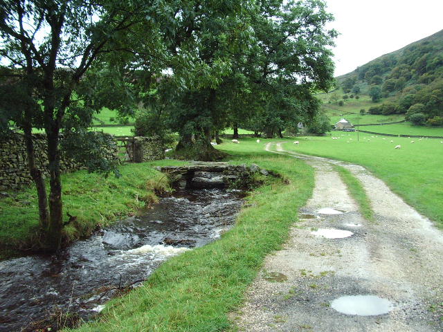
Tranquil walking trails wind their way through the forest, offering visitors the opportunity to explore and appreciate the natural beauty of the area. These trails provide a great way to immerse oneself in the peaceful surroundings and observe the wildlife in their natural habitat. Additionally, the forest is intersected by a meandering river, adding to the scenic charm and providing a perfect spot for picnics or simply enjoying the soothing sound of flowing water.
Sleddale Forest is a popular destination for outdoor activities such as hiking, cycling, and horseback riding. Its extensive network of paths and trails caters to all levels of fitness and abilities, making it accessible to both leisurely strollers and experienced adventurers. The forest also hosts various events and activities throughout the year, including guided walks and educational programs that aim to promote the understanding and preservation of the natural environment.
In summary, Sleddale Forest is a captivating natural gem within the Westmorland region. Its diverse ecosystem, tranquil ambience, and range of recreational opportunities make it a must-visit destination for nature lovers and those seeking an escape from the hustle and bustle of everyday life.
If you have any feedback on the listing, please let us know in the comments section below.
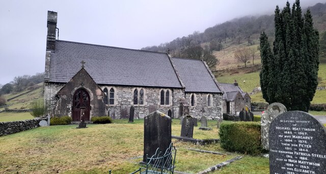
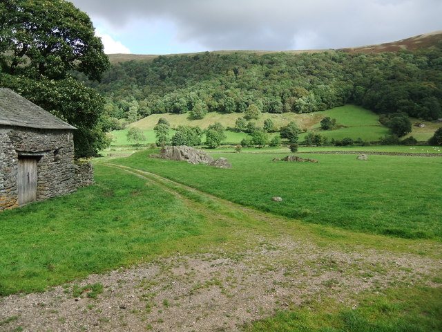
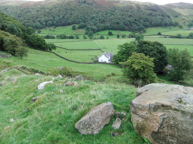
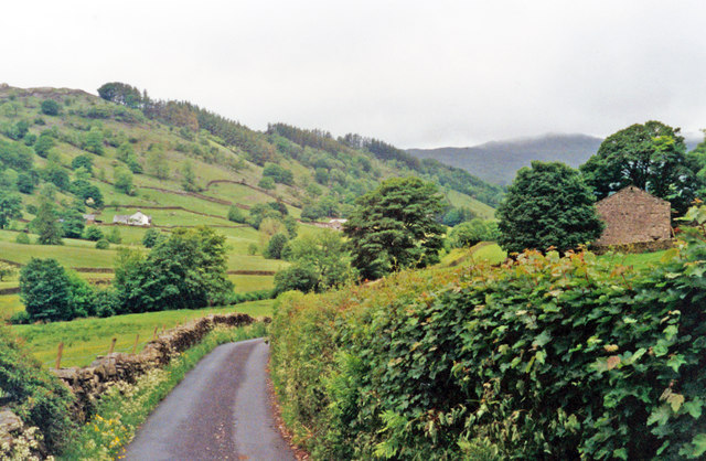
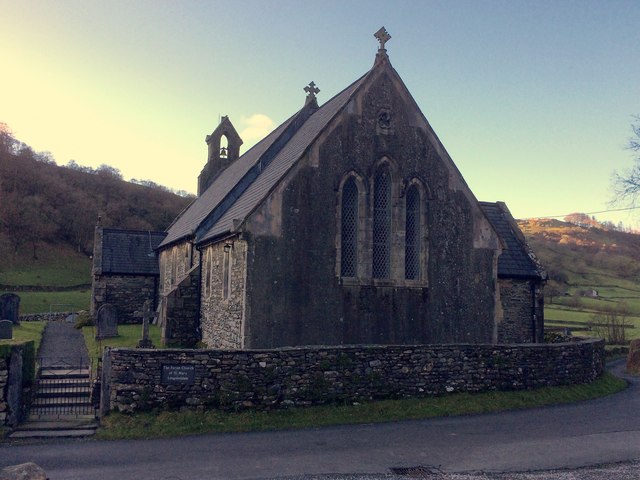
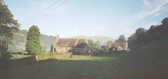
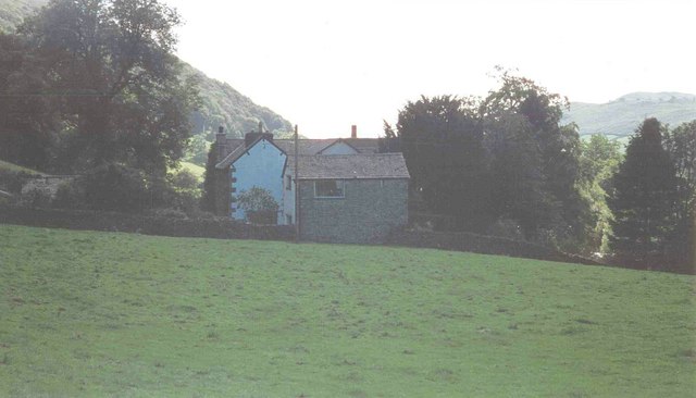
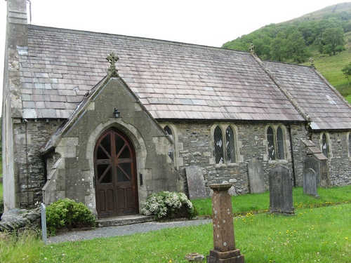
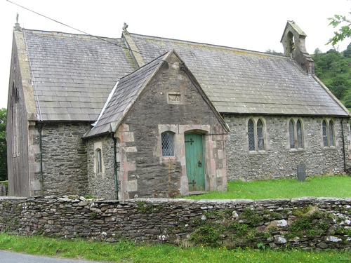
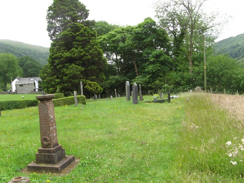
Sleddale Forest Images
Images are sourced within 2km of 54.412337/-2.785975 or Grid Reference NY4902. Thanks to Geograph Open Source API. All images are credited.
Sleddale Forest is located at Grid Ref: NY4902 (Lat: 54.412337, Lng: -2.785975)
Administrative County: Cumbria
District: South Lakeland
Police Authority: Cumbria
What 3 Words
///supposes.giraffes.paused. Near Staveley, Cumbria
Nearby Locations
Related Wikis

Longsleddale
Longsleddale () is a valley and civil parish in the South Lakeland district of Cumbria, England. It includes the hamlet of Sadgill. The parish has a population...

River Sprint
The River Sprint is a river in Cumbria, England with its source high up on the south-facing side of Harter Fell. It flows into the River Kent just to...

Potter Fell
Potter Fell is a fell near the villages of Burneside and Staveley, Cumbria, England, reaching a maximum height of 1,400 feet (430 m) at Brunt Knott. Alfred...

Green Quarter Fell
Green Quarter Fell is an upland area in the east of the English Lake District, near Kentmere village, Cumbria. It is the subject of a chapter of Wainwright...
Nearby Amenities
Located within 500m of 54.412337,-2.785975Have you been to Sleddale Forest?
Leave your review of Sleddale Forest below (or comments, questions and feedback).