Collin

Settlement in Dumfriesshire

Scotland

Collin

Entrance to Craigs Moss The entrance to Craigs Moss an area of native woodlan on the outskirts of Dumfries managed by Scottish Woodlands Ltd.
Entrance to Craigs Moss Credit: Colin Kinnear

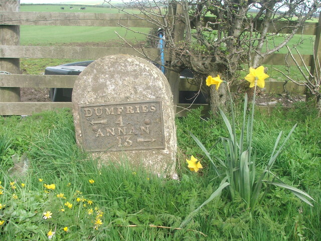
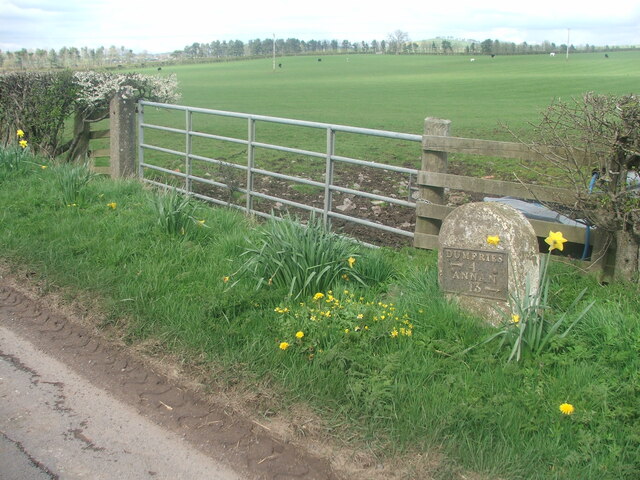
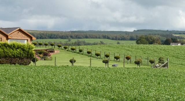
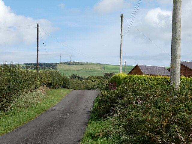
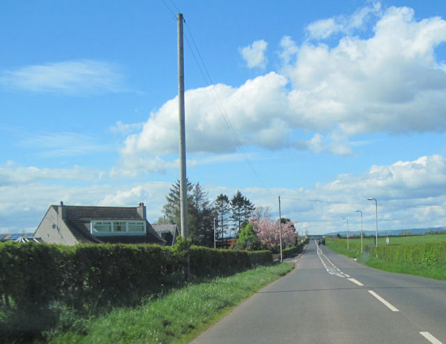
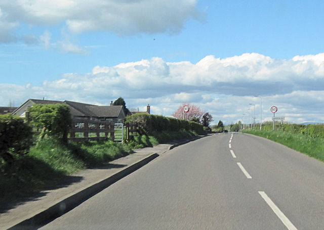
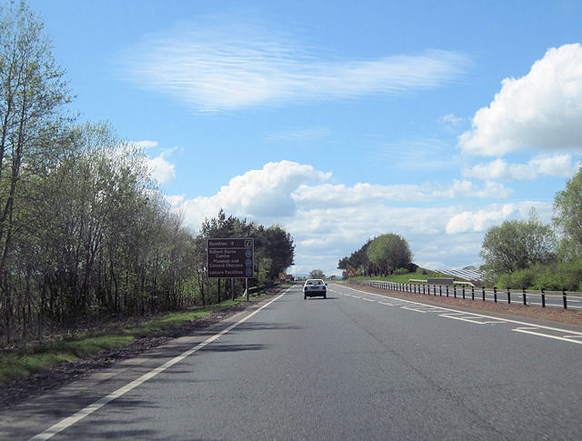
Collin is a small village located in Dumfriesshire, a historic county in the southwest of Scotland. Situated approximately 9 miles southwest of the town of Dumfries, Collin is nestled amidst picturesque countryside, offering tranquil surroundings and a peaceful atmosphere.

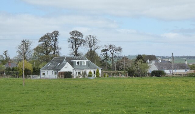
The village is home to a close-knit community, with a population of around 300 residents. The architecture of Collin reflects its rural character, with many traditional stone houses and cottages dotting the landscape. The village boasts a charming primary school, the Collin Primary School, which serves the educational needs of the local children.

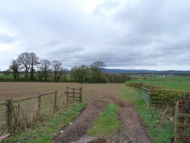
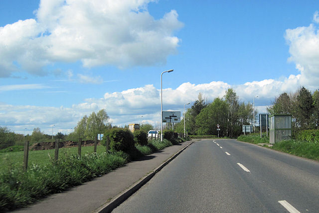
Collin is surrounded by stunning natural beauty, with rolling hills, lush green fields, and expansive woodlands. The area is a haven for outdoor enthusiasts, offering ample opportunities for walking, hiking, and cycling. The nearby Dalbeattie Forest and Mabie Forest are popular destinations for nature lovers, providing an abundance of trails and wildlife-spotting opportunities.

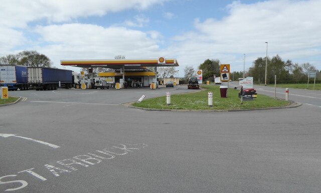
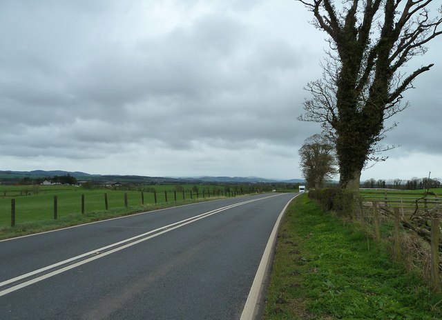
Although Collin is a small village, it benefits from its proximity to Dumfries, where residents can access a wider range of amenities and services. Dumfries offers shopping centers, supermarkets, restaurants, and cultural attractions, such as the Dumfries Museum and Camera Obscura.

Overall, Collin offers a peaceful and idyllic lifestyle, making it an ideal place for those seeking a quiet retreat in the charming Scottish countryside. Its natural beauty and close-knit community make it a desirable location for residents and visitors alike.

If you have any feedback on the listing, please let us know in the comments section below.
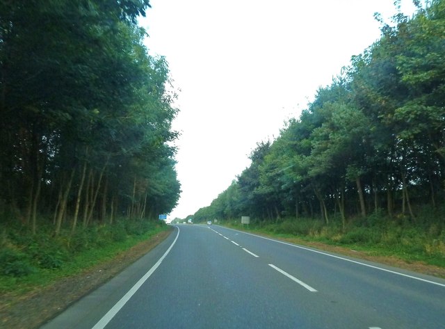
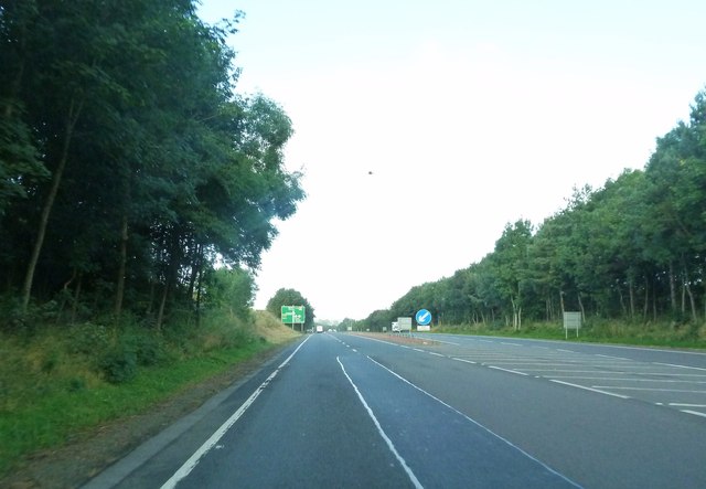
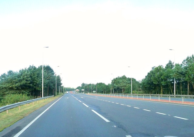
Collin Images

Images are sourced within 2km of 55.068824/-3.524012 or Grid Reference NY0275. Thanks to Geograph Open Source API. All images are credited.

Entrance to Craigs Moss The entrance to Craigs Moss an area of native woodlan on the outskirts of Dumfries managed by Scottish Woodlands Ltd.
Entrance to Craigs Moss
The entrance to Craigs Moss an area of native woodlan on the outskirts of Dumfries managed by Scottish Woodlands Ltd.
Filling station on approach to Dumfries With adjacent Starbucks!
Filling station on approach to Dumfries
With adjacent Starbucks!
Houses north of the A75 On the outskirts of Dumfries.
Houses north of the A75
On the outskirts of Dumfries.
Old milestone Another milestone, once well painted, on the tourist route from Dumfries to Gretna.   This is the last/first one on the B724 before its junction with the A75 near Collin.   Once painted, now mud splattered, this stone is at the southern end of Greenlea.
The plates that are/were on the four stones nearest Dumfries have DUMFRIES at the top of the plate with ANNAN below.   The arrows are also smaller than  on the milestones between Annan 1 and Annan 9.
Old milestone
Another milestone, once well painted, on the tourist route from Dumfries to Gretna. This is the last/first one on the B724 before its junction with the A75 near Collin. Once painted, now mud splattered, this stone is at the southern end of Greenlea. The plates that are/were on the four stones nearest Dumfries have DUMFRIES at the top of the plate with ANNAN below. The arrows are also smaller than on the milestones between Annan 1 and Annan 9.
Old milestone This milestone is easily found between the metal field gate and a lamppost at the southern end of Greenlea.
Old milestone
This milestone is easily found between the metal field gate and a lamppost at the southern end of Greenlea.
Automatic lawn mower in operation At Broomhill near Elizafield.
Automatic lawn mower in operation
At Broomhill near Elizafield.
Minor road at Elizafield With communication masts on Hazelshaw Hill in the distance.
Minor road at Elizafield
With communication masts on Hazelshaw Hill in the distance.
Woodside Looking along the A75 towards Dumfries.
Woodside
Looking along the A75 towards Dumfries.
Millholm Shaw Looking towards this wood off the A75 and West Mains Farm.
Millholm Shaw
Looking towards this wood off the A75 and West Mains Farm.
View to the Criffel Taken from the A75 by Woodside.
View to the Criffel
Taken from the A75 by Woodside.
B724 into Elizafield At Racks Road crossroads
B724 into Elizafield
At Racks Road crossroads
B724 approaching A75 junction at Collin
B724 passing Greenlea Greenlea on the left. Looking towards Collin
B724 passing Greenlea
Greenlea on the left. Looking towards Collin
End of A75 dual carriageway at Collin Looking towards Dumfries
End of A75 dual carriageway at Collin
Looking towards Dumfries
A75 approaching Dumfries from the east Taken from close to Douievale. The first roundabout signs can be seen in the distance
A75 approaching Dumfries from the east
Taken from close to Douievale. The first roundabout signs can be seen in the distance
Approaching the start of a dual carriageway
The start of a dual carriageway It's not a mark on the camera - - it's a kestrel hovering over the road.
The start of a dual carriageway
It's not a mark on the camera - - it's a kestrel hovering over the road.
Approaching the B724 on the A75 dual carriageway
Show me another place!

Collin is located at Grid Ref: NY0275 (Lat: 55.068824, Lng: -3.524012)

Unitary Authority: Dumfries and Galloway

Police Authority: Dumfries and Galloway

What 3 Words

///manliness.grit.locate. Near Locharbriggs, Dumfries & Galloway

Related Wikis

Collin, Dumfries and Galloway

Collin is a small village between Dumfries and Gretna in Dumfries and Galloway, Scotland. It is located on the Lochar Water, and the A75 road. It lies...

Racks railway station

Racks railway station was a railway station in Dumfries and Galloway, Scotland, south of Dumfries, OS NGR NY 033 743, serving and effectively creating...

Torthorwald

Torthorwald is a village and civil parish in Dumfries and Galloway, south-west Scotland. It is located 6 kilometres (3.7 mi) east of Dumfries on the A709...

Rockhall Tower

Rockhall Tower, also known as Rockhall House or Rockhall Tower House, is a 16th-century tower house in Collin, Dumfries and Galloway. The castle originally...

Loaningfoot

Loaningfoot is a hamlet in the parish of Kirkbean in Dumfries and Galloway, Scotland. It is 10 miles ESE of the town of Dalbeattie. == References ==

Dumfries and Galloway Aviation Museum

The Dumfries and Galloway Aviation Museum is a volunteer-operated aviation museum located in and around the World War II-era watch tower (control tower...

RAF Dumfries

Royal Air Force Dumfries or more simply RAF Dumfries was a former Royal Air Force station located near Dumfries, Dumfries and Galloway Scotland. The airfield...

Lochar Thistle F.C.

Lochar Thistle Football Club are a football club originating in 1969 from the villages of Locharbriggs and Heathhall in the town of Dumfries in Scotland...

Nearby Amenities

Located within 500m of 55.068824,-3.524012
Bus Stop
Bypass
Naptan AtcoCode: 680000158333
Naptan Bearing: W
Naptan CommonName: Bypass
Naptan Indicator: West
Naptan Landmark: B724
Naptan NaptanCode: 34237626
Naptan Notes: none
Naptan Street: A75
Naptan Verified: no
Source: naptan_import
Lat/Long: 55.0665702/-3.5243484
Bus Stop
Bypass
Naptan AtcoCode: 680000158444
Naptan Bearing: E
Naptan CommonName: Bypass
Naptan Indicator: East
Naptan Landmark: B724
Naptan NaptanCode: 34238638
Naptan Notes: none
Naptan Street: A75
Naptan Verified: no
Source: naptan_import
Lat/Long: 55.066994/-3.5249597
Bus Stop
Village
Naptan AtcoCode: 680000169111
Naptan Bearing: N
Naptan CommonName: Village
Naptan Indicator: Roucan Road
Naptan Landmark: Roucan Court
Naptan NaptanCode: 34234563
Naptan Notes: none
Naptan Street: Roucan Road
Naptan Verified: no
Source: naptan_import
Lat/Long: 55.0713399/-3.5245611
Bus Stop
Village
Naptan AtcoCode: 680000169222
Naptan Bearing: S
Naptan CommonName: Village
Naptan Indicator: Roucan Road
Naptan Landmark: Raecroft Avenue
Naptan NaptanCode: 34238289
Naptan Notes: none
Naptan Street: Roucan Road
Naptan Verified: no
Source: naptan_import
Lat/Long: 55.0715313/-3.5243491
Bus Stop
Village
Naptan AtcoCode: 680000169501
Naptan Bearing: NE
Naptan CommonName: Village
Naptan Indicator: Squires
Naptan Landmark: Roucan Road
Naptan NaptanCode: 34234565
Naptan Notes: none
Naptan Street: Old Dumfries Road
Naptan Verified: no
Source: naptan_import
Lat/Long: 55.0685087/-3.5260039
Bus Stop
Village
Naptan AtcoCode: 680000169502
Naptan Bearing: NW
Naptan CommonName: Village
Naptan Indicator: Main Road
Naptan Landmark: Low Road
Naptan NaptanCode: 34238639
Naptan Notes: none
Naptan Street: Main Road
Naptan Verified: no
Source: naptan_import
Lat/Long: 55.0681431/-3.5221844
Bus Stop
Village
Naptan AtcoCode: 680000169503
Naptan Bearing: SE
Naptan CommonName: Village
Naptan Indicator: Main Road
Naptan Landmark: Low Road
Naptan NaptanCode: 34234568
Naptan Notes: none
Naptan Street: Main Road
Naptan Verified: no
Source: naptan_import
Lat/Long: 55.0681129/-3.521729
Collin
Place: village
Wikidata: Q15813254
Wikipedia: en:Collin, Dumfries and Galloway
Lat/Long: 55.0690144/-3.5234303
Noexit: yes
Lat/Long: 55.0716364/-3.523558
Turning Circle
Noexit: yes
Lat/Long: 55.071804/-3.5248119
Turning Circle
Noexit: yes
Lat/Long: 55.0713445/-3.5248481
Tourism: caravan_site
Lat/Long: 55.0696011/-3.5259436
Post Box
Ref: DG1 52
Lat/Long: 55.0701292/-3.5238117
Post Office
Collin Post Office
Addr City: Dumfries
Addr Country: GB
Addr Housename: Collin Village Hall
Addr Postcode: DG1 4JF
Addr Street: Low Road
Addr Village: Collin
Brand: Post Office
Brand Wikidata: Q1783168
Check Date: 2022-05-27
Check Date Opening Hours: 2022-05-27
Opening Hours: Tu,Th 11:45-13:45
Ref Pol Id: 97655
Lat/Long: 55.0670955/-3.5226825
Power: pole
Lat/Long: 55.0707228/-3.5172095
Power: pole
Lat/Long: 55.070826/-3.5186366
Power: pole
Lat/Long: 55.0704823/-3.5197468
Power: pole
Lat/Long: 55.0701387/-3.5207875
Power: pole
Lat/Long: 55.0698083/-3.5218334
Power: pole
Lat/Long: 55.0692272/-3.5220858
Power: pole
Lat/Long: 55.0683658/-3.5215565
Power: pole
Lat/Long: 55.0697891/-3.5314584
Power: pole
Lat/Long: 55.069739/-3.5300082
Power: pole
Lat/Long: 55.0697095/-3.5284806
Power: pole
Lat/Long: 55.0696918/-3.5269866
Noexit: yes
Lat/Long: 55.0715689/-3.5253849
The data included in this document is from www.openstreetmap.org. The data is made available under ODbL.

Have you been to Collin?

Leave your review of Collin below (or comments, questions and feedback).